혼트하임에서 가장 멋진 10개의 산 정상
Hontheim 주변의 최고의 산봉우리들은 독일 남부 화산 아이펠 지역 내에 위치한 높은 지형, 울창한 숲, 완만한 언덕이 특징입니다. 이 지역은 해발 약 385미터의 고원에 자리 잡고 있습니다. 전통적인 높은 봉우리들은 없지만, 이 지역은 다양한 하이킹 기회와 아름다운 경치를 제공합니다. 지형은 특히 콘델발트 숲과 바트 베트리히 근처의 삼림 산맥과 가파른 언덕을 포함합니다.
Hontheim 주변 최고의 산봉우리
- 가장 인기 있는 산봉우리는 칼몬트 정상 십자가에서 바라본 모젤 루프 전망으로, 모젤 강을 뚜렷하게 조망할 수 있는 전망대입니다. 정상 십자가는 최적의 조망을 위해 전략적으로…
마지막 업데이트: 10월 16, 2026
칼몬트 정상 십자가에서 바라보는 모젤 강의 굽이
하이라이트 • 전망대
번역자 Google •
팁에 의해

칼몬트 정상 아래 모젤 강 굽이의 파노라마 전망
하이라이트 • 전망대
번역자 Google •
팁에 의해

이런 장소를 발견하려면 지금 가입하세요
최고의 싱글 트랙, 봉우리 및 다양한 흥미로운 야외 장소에 대한 추천을 받아보세요.
토데스앙스트 전망대
하이라이트 • 전망대
번역자 Google •
팁에 의해
페터스베르크에서 바라본 모젤강과 네프
하이라이트 • 전망대
번역자 Google •
팁에 의해

노이어부르크 콥프 🌄🏔️🤓 #우리동네산 #정상 🚵♂️🏃♂️❤️
하이라이트 • 전망대
번역자 Google •
팁에 의해

무료로 가입하여 혼트하임 주변의 더 많은 봉우리를 발견하세요.
이미 komoot 계정이 있나요?
오늘 무료 계정으로 시작하세요
다음 모험이 기다리고 있어요.
커뮤니티 팁

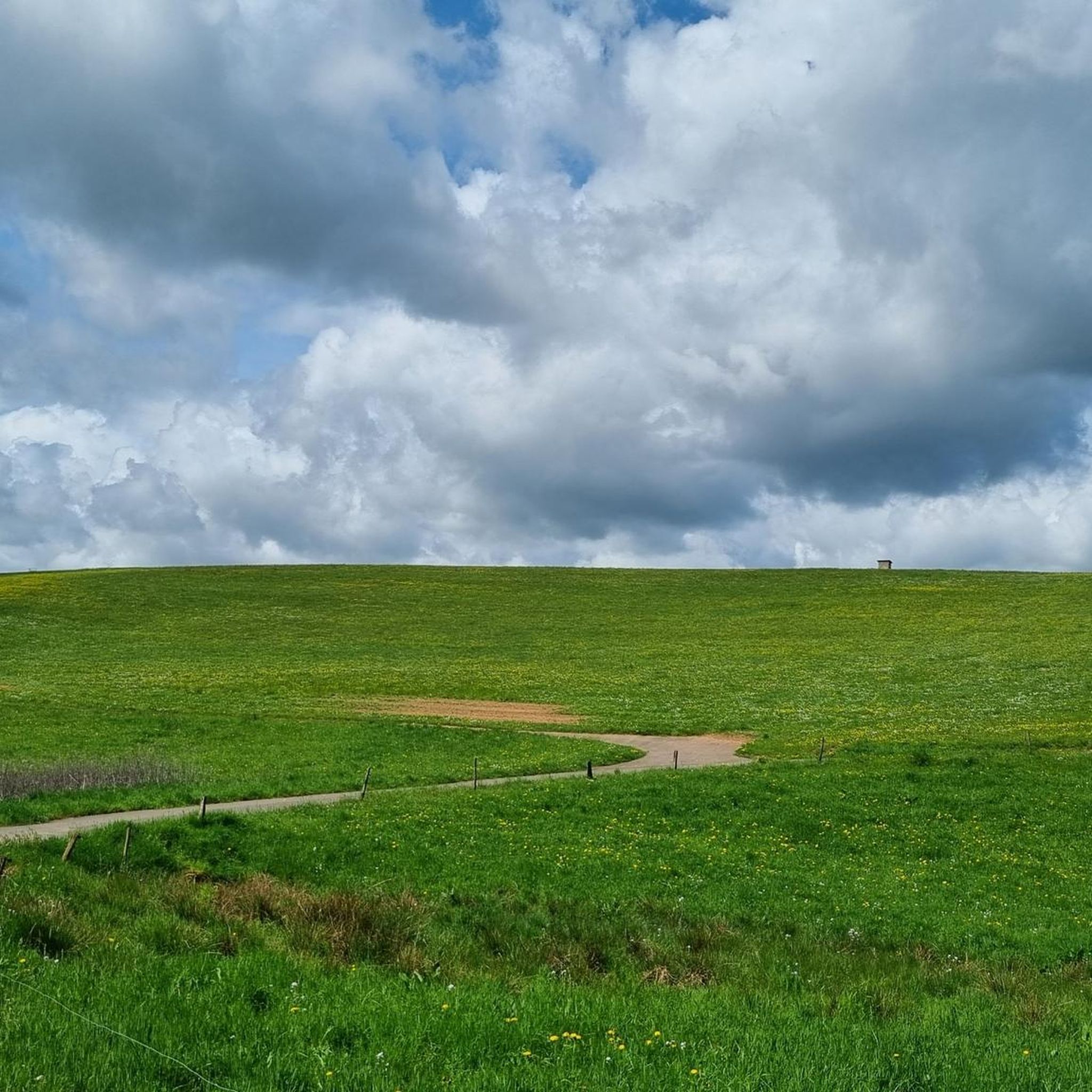
Neuerburger Kopf는 1000만 년 전에 사멸한 화산입니다. 정상에는 보호용 오두막이 있습니다. 정상 아래에는 자연 속에 기도 장소(십자가)가 있습니다.
0
0

Trail up to the cross, then a final sprint and then back down the wide path with the great view. Fun! 🌄🏃♂️📯
1
0

Great to ride up on a mountain bike. But it's better to push the last 10m
2
0

Please be kind, there is an official Moselle webcam up here that sends pictures to the Internet, so smile 😀
3
0

The volcanic cone was formed 108 million years ago. Magma penetrated the Devonian sandstone layers and solidified below the earth's surface. This passage or chimney made of hard basalt protected the surrounding sandstone from erosion, leaving the conical shape of the Neuerburger Kopf, which is still clearly visible today. Classified as belonging to the Cretaceous period, the Neuerburger Kopf and the neighboring Lüxeberg are the oldest volcanic features in the Eifel. The Neuerburger Kopf was formerly called Merkuriusberg (Mercurius, Roman god of trade). The former name is explained by the Roman trade and military roads that crossed next to it. The current name refers to a castle. Archbishop Albero (1131-1152) had a "novum castrum" (= new castle) built, which was completed in 1168 by Archbishop Hillin and expanded by Archbishop Henry II (1260-1286). The castle was used primarily to collect customs duties on the neighboring trade route and was one of the seven castles of the Electorate of Trier, along with Manderscheid, Arras, Saarburg, Grimburg, Welschbillig and Ehrenbreitstein. The last inhabitants of Hatzdorf, which had been ravaged by the plague and abandoned, settled under the protection of the castle and founded the village of Neuerburg. Neuerburg Castle was most likely destroyed in 1689 by the French Marshal François de Créquy, who also had Wittlich destroyed from Mont Royal. Today only a few remains of the walls can be found.
2
0

From this vantage point you have one of the best valley views of the Moselle loop.
76
0
The Calmont is a prominent peak on the Moselle. The highest elevation is 380 meters high. Interestingly, the Calmont summit cross is not at the highest point, but below it. This may be because the Calmont is a ridge above the Moselle. The location of the summit cross offers a prominent view of the Moselle - better than from the highest point. Therefore, the summit cross makes much more sense at this point. Source: https://www.calmont-klettersteig-moselschleife.de/calmont/
78
0
A covered, clean rest area with a great view again.
57
1
혼트하임 주변에서 가장 인기 있는 명소


더 살펴보기
이 가이드를 통해 혼트하임 주변의 더 놀라운 정상들을 확인해보세요:
