베르나우 임 슈바르츠발트에서 가장 멋진 20개의 산 정상
베르나우 임 슈바르츠발트의 산 정상에 오르면 이 지역의 아름다운 모습을 제대로 구경할 수 있어요. 다만, 20
곳이나 되는 산 정상 중에서 어떤 곳을 가야 할 지 고민된다는 게 문제죠. 베르나우 임 슈바르츠발트에서 가장 멋진 산 정상을 살펴본 후에 마음에 드는 산 정상을 다음 모험 계획에 추가해보세요.
마지막 업데이트: 10월 9, 2026

세북(Seebuck) 정상의 비스마르크 기념비
하이라이트 • 기념물
번역자 Google •
팁에 의해

이런 장소를 발견하려면 지금 가입하세요
최고의 싱글 트랙, 봉우리 및 다양한 흥미로운 야외 장소에 대한 추천을 받아보세요.


오늘 무료 계정으로 시작하세요
다음 모험이 기다리고 있어요.
베르나우 임 슈바르츠발트 주변 인기 장소
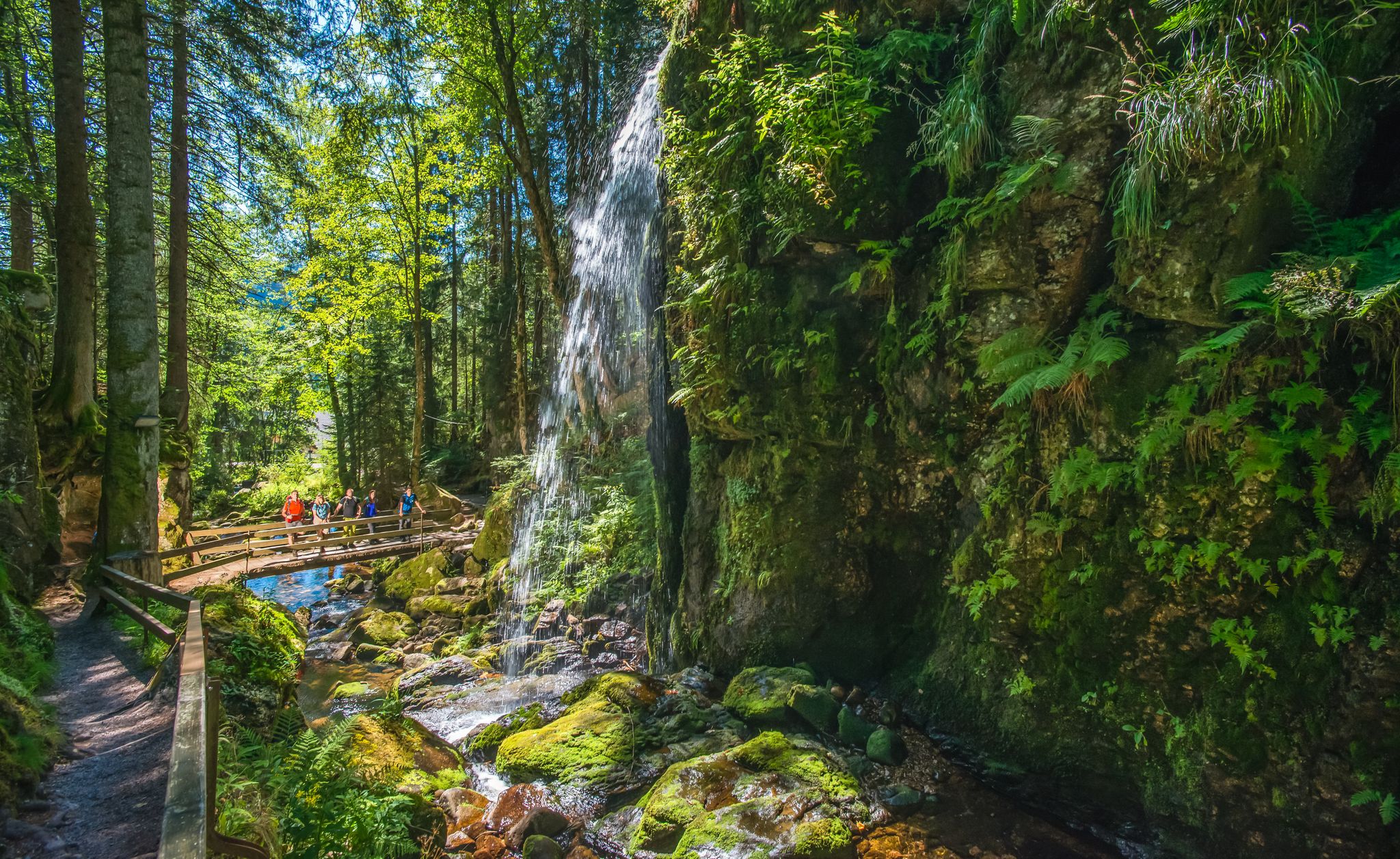
River Alb를 따라 독일의 Black Forest에서 HIKE하세요
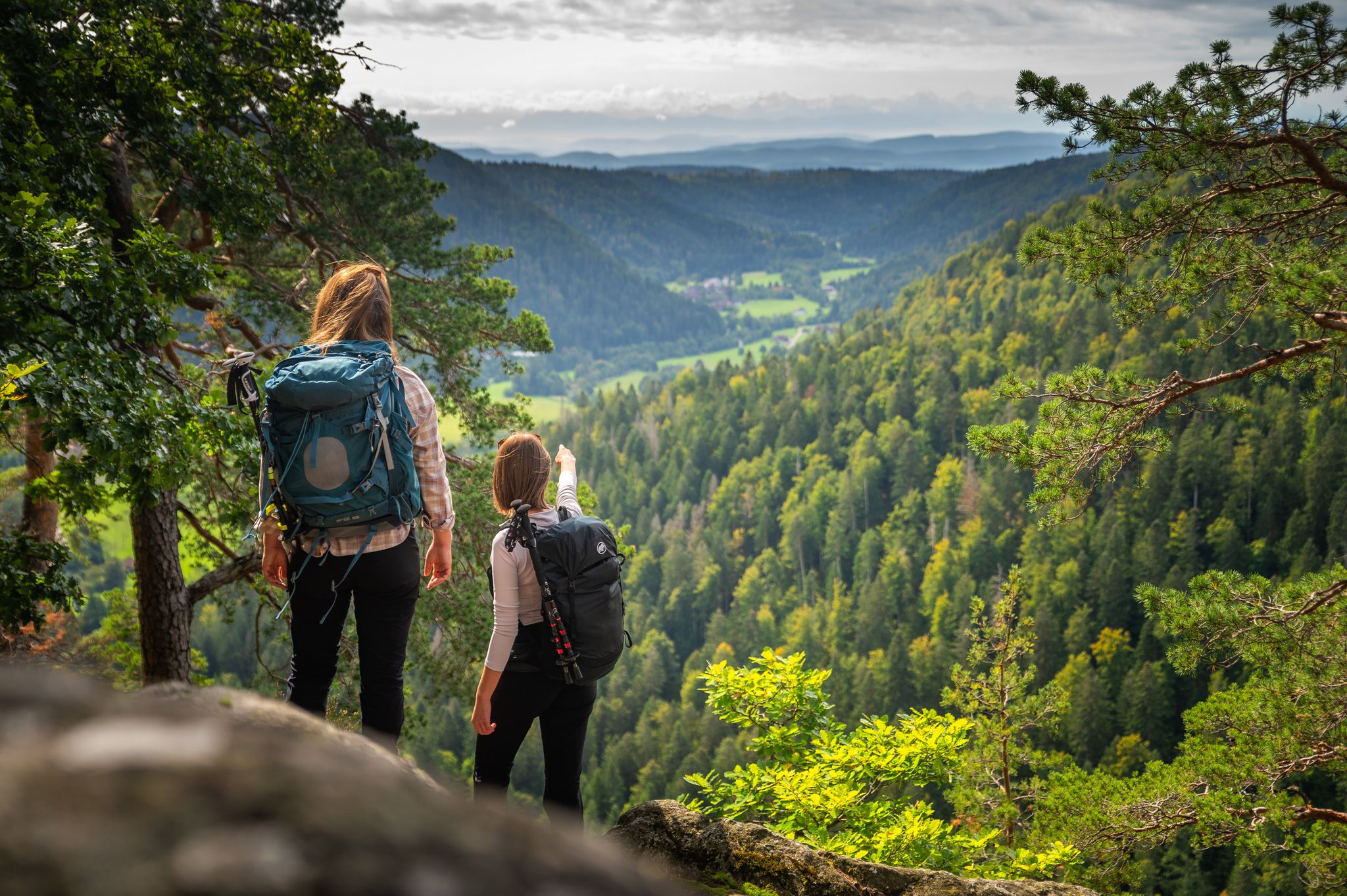
From the hills to the Rhine – hiking in the Southern Black Forest
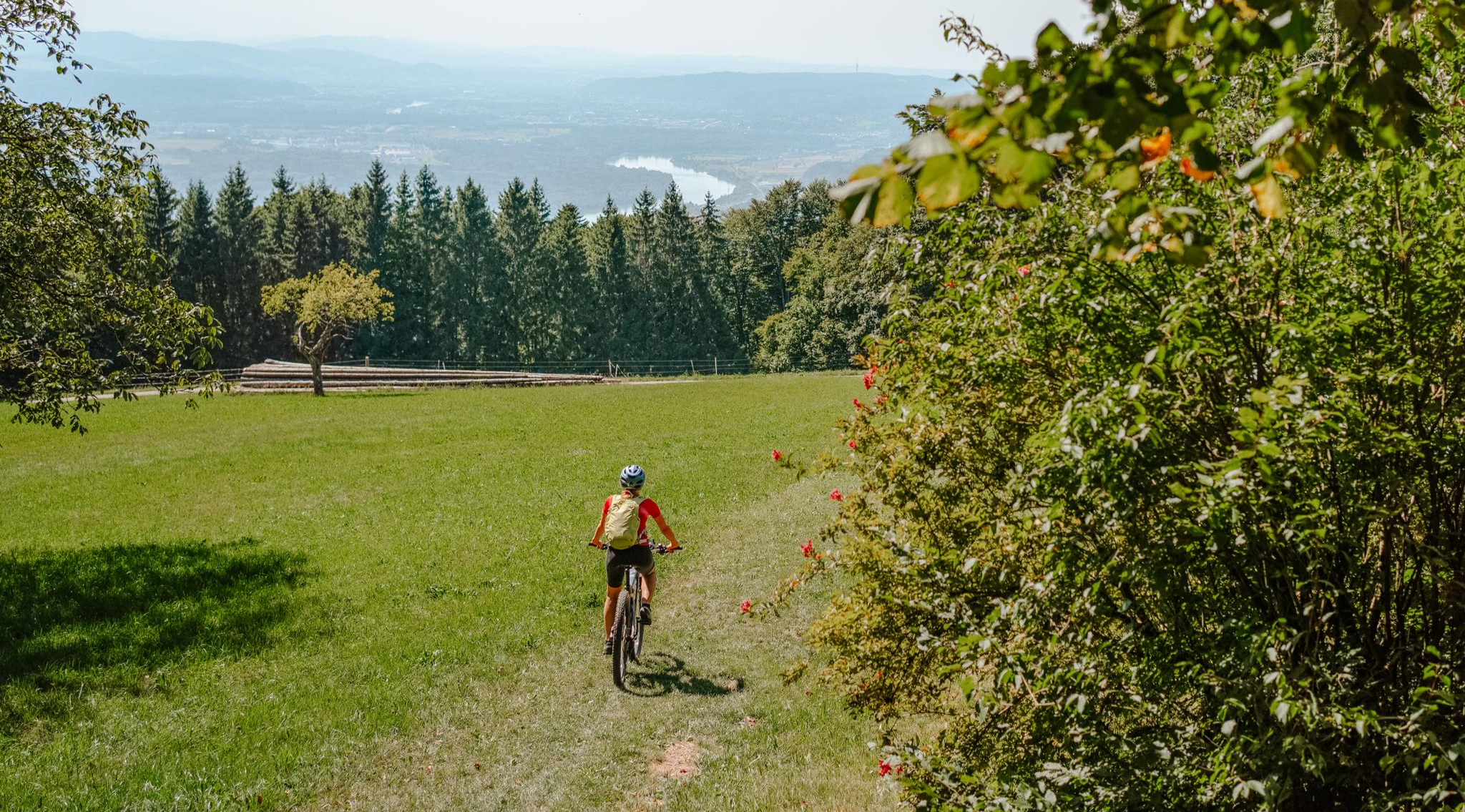
Build your dream ride: Modular biking in the Southern Black Forest
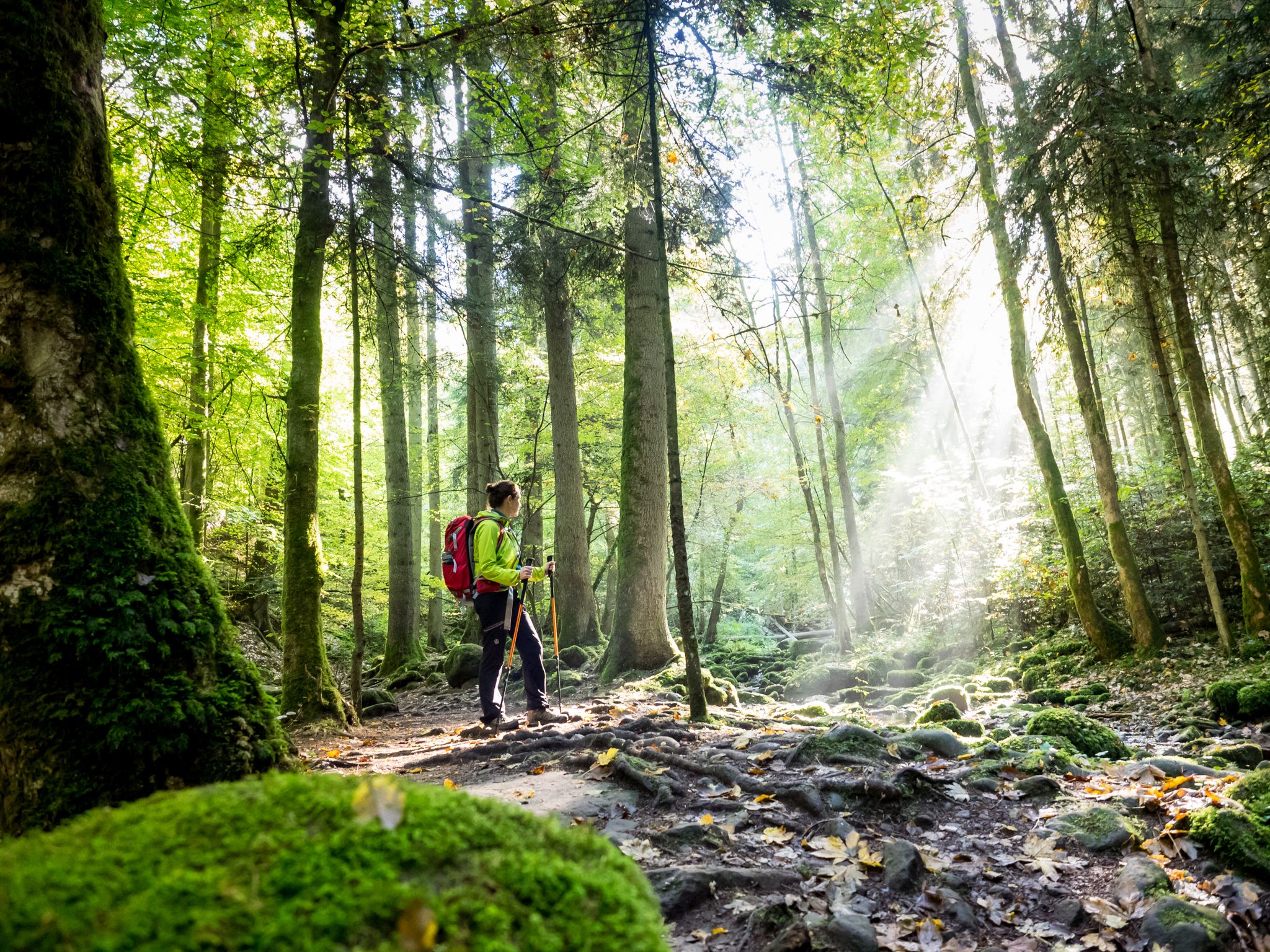
Far from the hustle and bustle – Hidden Trails in the Black Forest
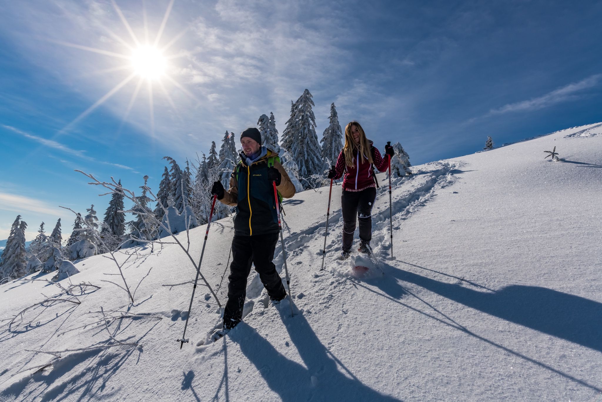
The Forest in its white dress – snowshoe Tours in the Black Forest
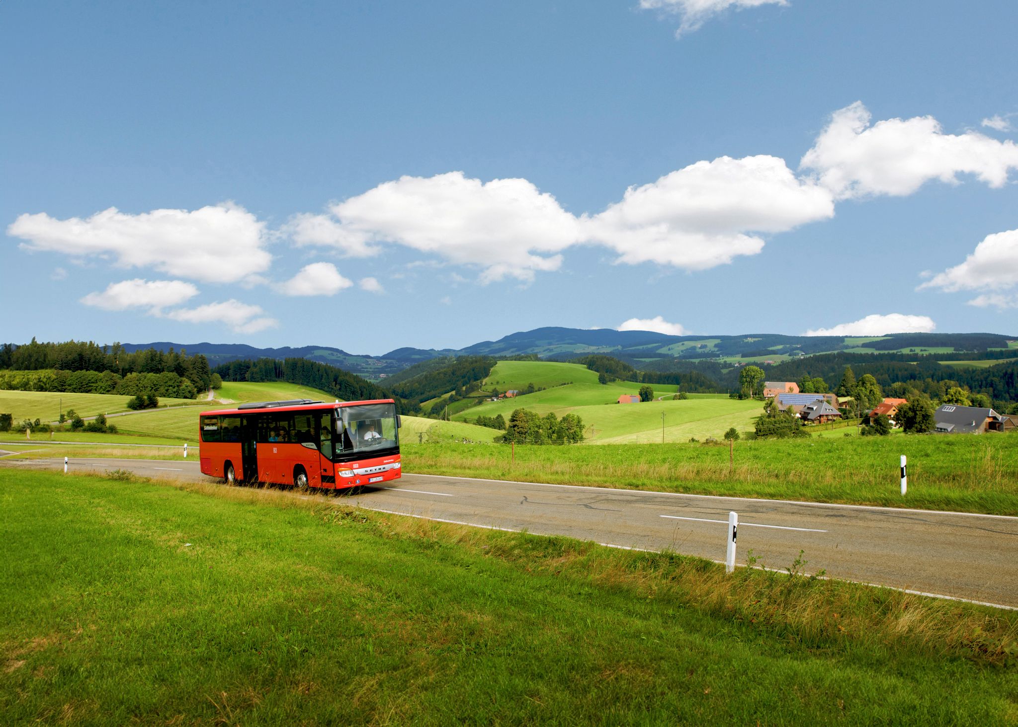
Car-free hiking adventures – the Black Forest without a car
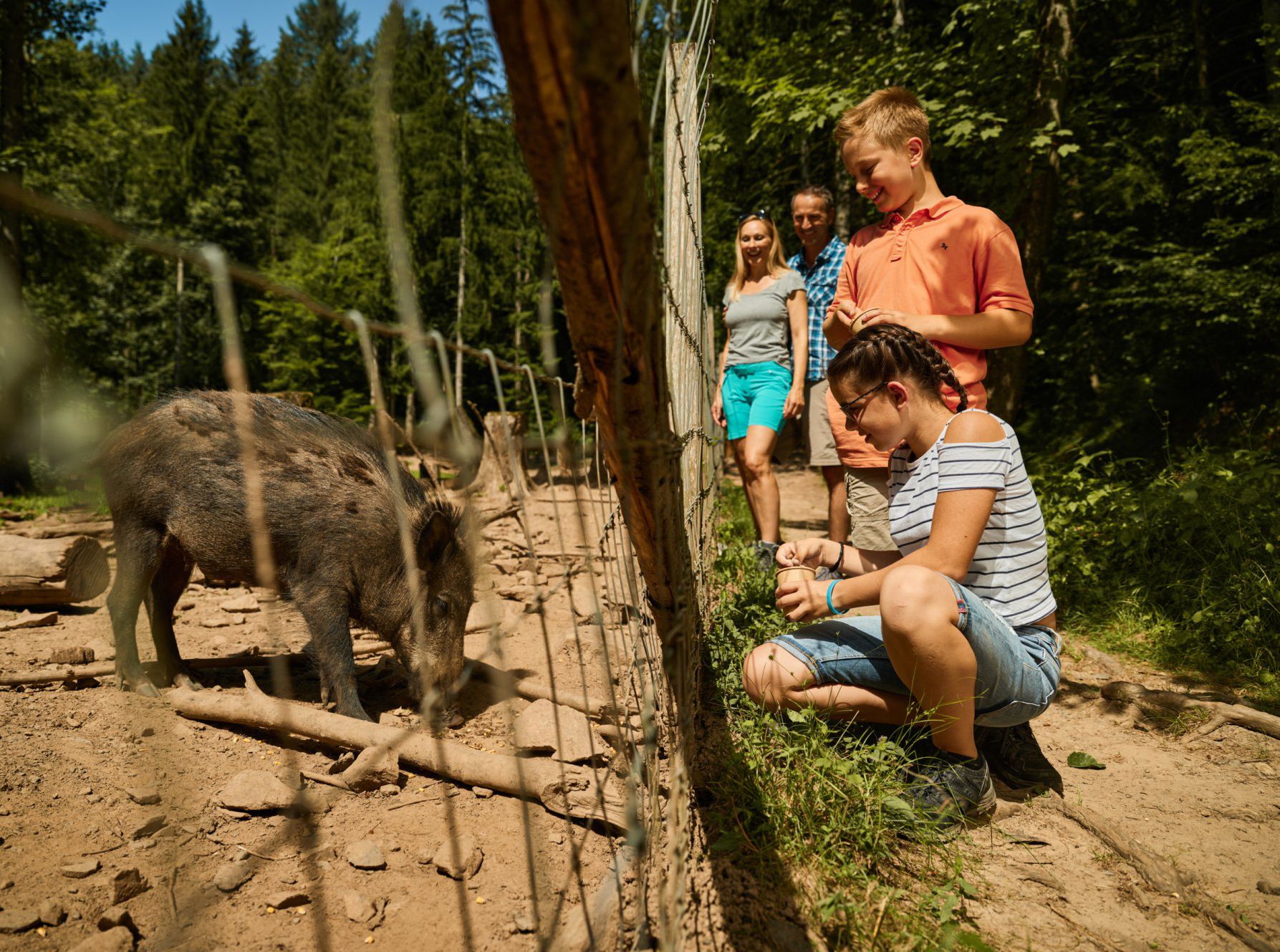
Animal Tours – family hikes in the southern Black Forest
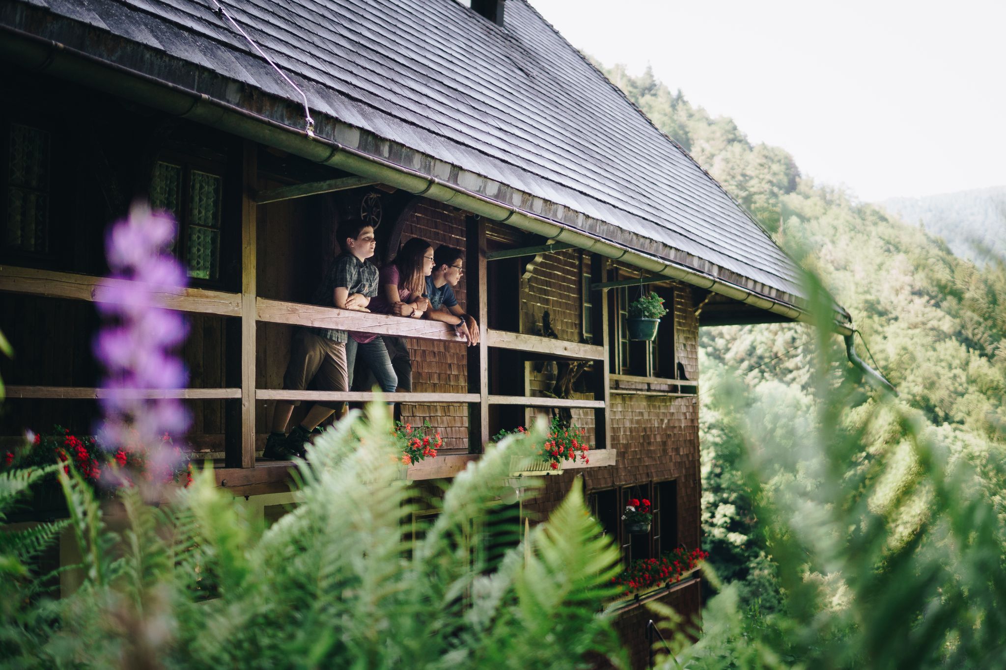
Kids in boots – the most beautiful family Tours in the Black Forest
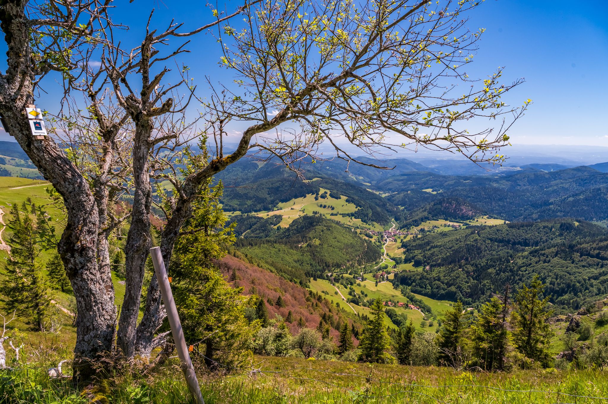
Summer, summits and huts – varied hikes in the Black Forest
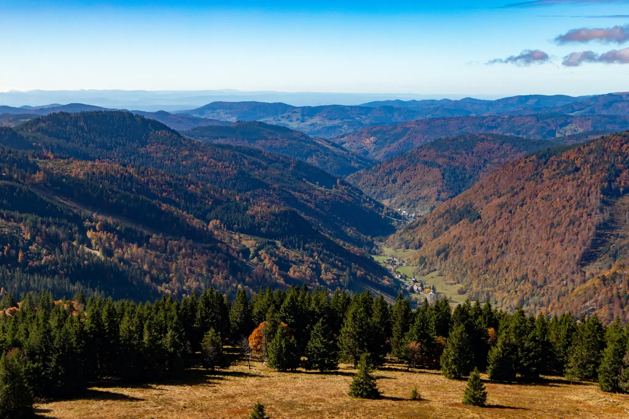
Summit ascents and pleasure trails – hike in Germany’s Black Forest
베르나우 임 슈바르츠발트 주변의 다른 모험


커뮤니티 팁

When the weather is good, I have a beautiful 360° view of the Black Forest from the top of the Feldberg.
16
2

Wonderful view of the Feldbergsee. Behind it you can see the Raimartihof, which invites you to rest after the long descent. Hinterzarten is further away.
13
0

The tower, named after the Baden Grand Duke Friedrich I and his wife Luise, was built in 1913 and is now used by the German Weather Service as a weather radar system, which is housed in the radome above.
19
1

The weather station is near the Feldberg summit. Since this is often confused with the Seebuck, on which the Bismark monument stands, the weather station can provide a good waypoint here.
14
0

From https://www.schwarzwald-aktuell.eu/gschichtle/g-schichtle-die-wetterstation-auf-dem-feldberg summit: A weather observation station of the German Weather Service is located on the Feldberg summit. There are around 100 such stations in Germany. Every change is registered here every hour: air pressure, humidity, temperature, sunshine duration, cloud height, wind speed and much more. A weather radar system is located next to the weather station. It belongs to the radar network of the German Weather Service. It is used to determine the amount of precipitation. The radar sphere has a range of around 200 km and scans the sky 360° horizontally and 90° vertically.
20
1


More information under the following link: https://www.hochschwarzwald.de/Attraktionen/Bismarckdenkmal-auf-dem-Seebuck
18
1

In order to get the best angle for a landscape view of the Feldsee, it is worthwhile to walk down the narrow path behind the Bismarck monument about halfway up. From there you have the best view. But be careful: do not leave the existing paths and when using a tripod make sure not to destroy the roots of the plants 🌱
14
0
베르나우 임 슈바르츠발트 주변에서 가장 인기 있는 명소


더 살펴보기
이 가이드를 통해 베르나우 임 슈바르츠발트 주변의 더 놀라운 정상들을 확인해보세요:
