20의 세인트 블라시엔가지 명소 & 주요 장소
세인트 블라시엔에는 둘러볼 만한 장소가 많답니다. 하이킹 또는 사이클링을 좋아한다면 세인트 블라시엔에 숨겨진 20
가지 보석을 만날 수 있을 거예요. 이 지역의 주요 명소를 살펴보면서 다음 모험을 계획해보세요.
마지막 업데이트: 9월 12, 2026


오늘 무료 계정으로 시작하세요
다음 모험이 기다리고 있어요.
세인트 블라시엔 주변 인기 장소
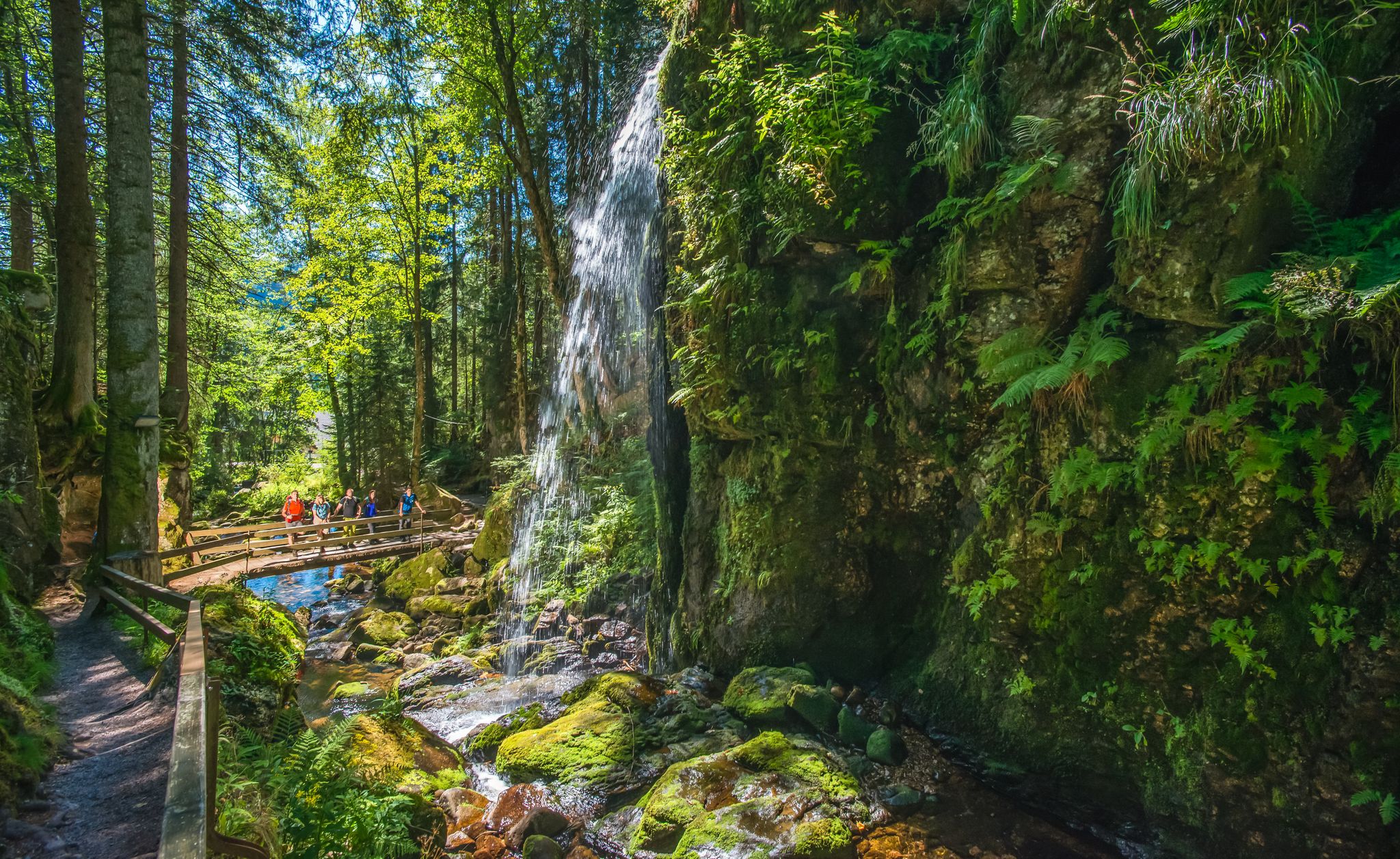
River Alb를 따라 독일의 Black Forest에서 HIKE하세요
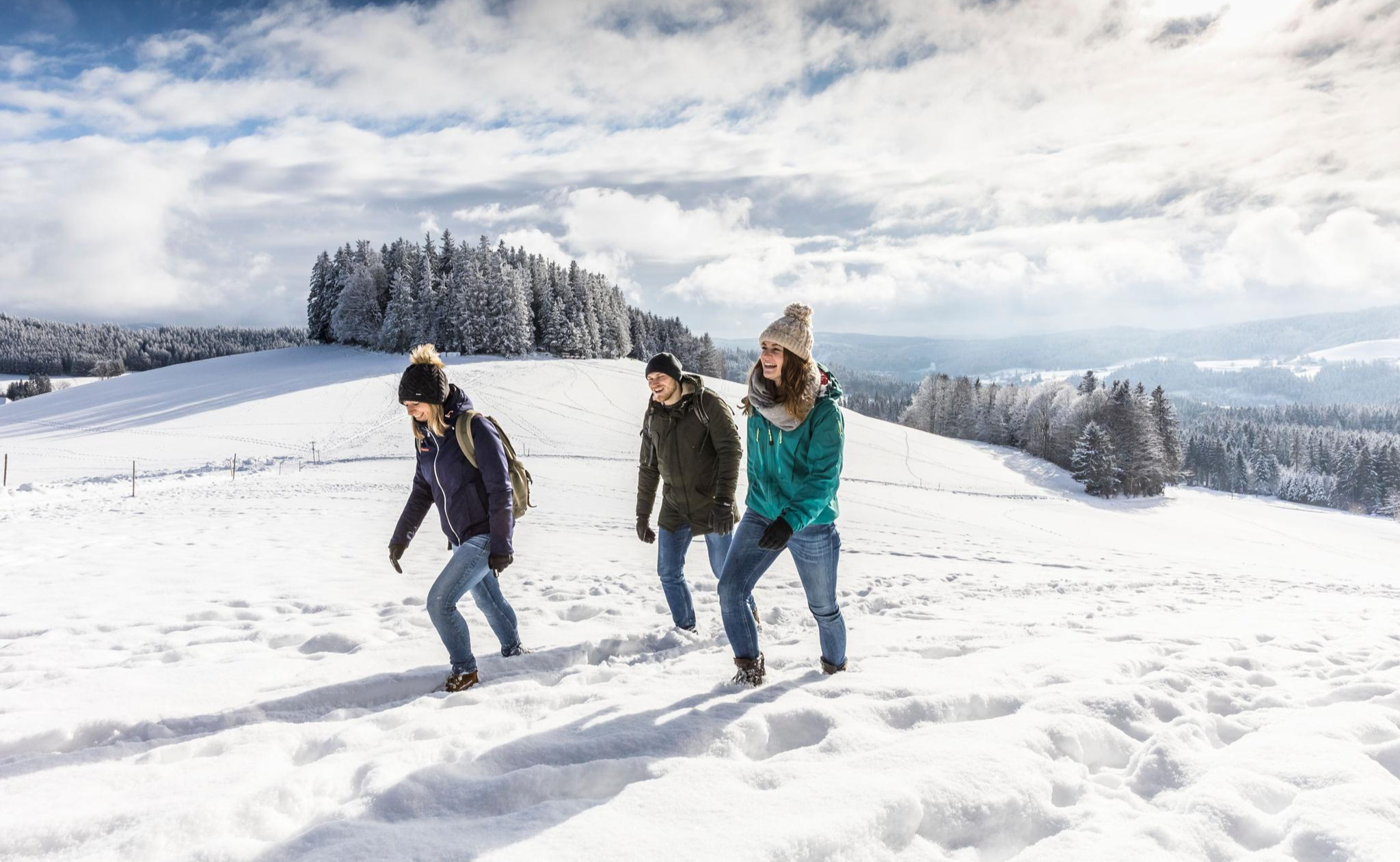
Black Forest Highlands – Winter Hiking with Snow, Silence and Vast Views
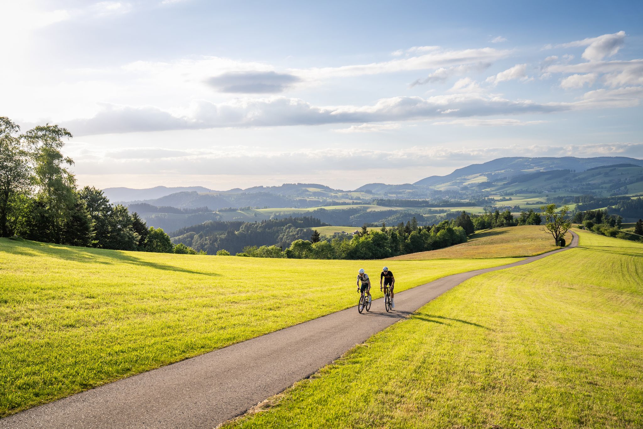
Asphalt poetry – road cycling in the High Black Forest
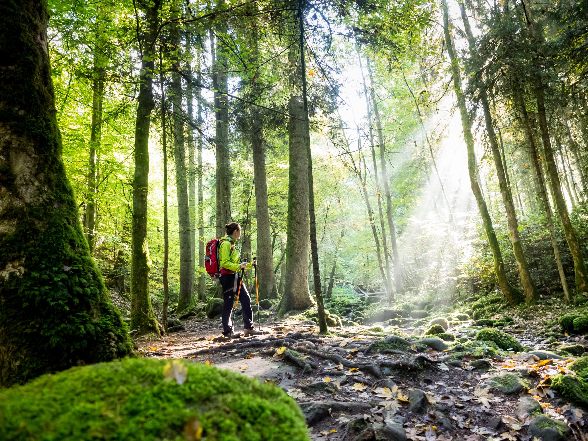
Far from the hustle and bustle – Hidden Trails in the Black Forest
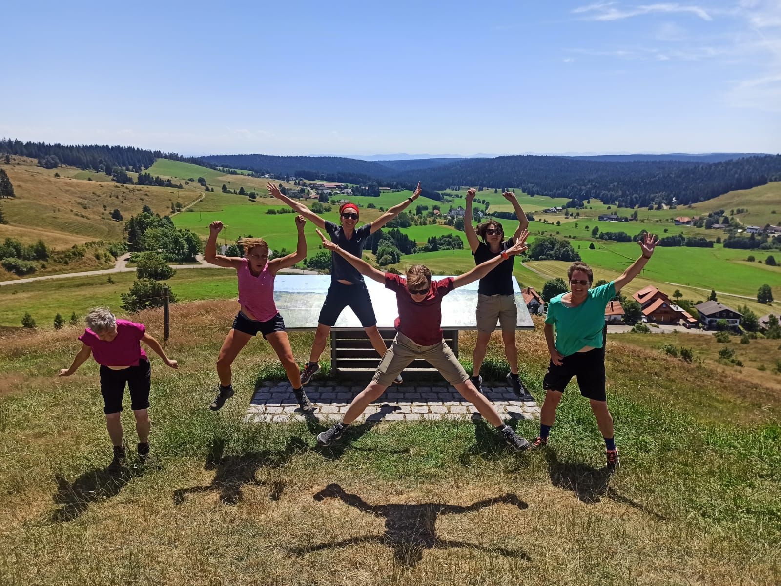
Schluchtensteig-West | Von Schluchsee bis Wehr
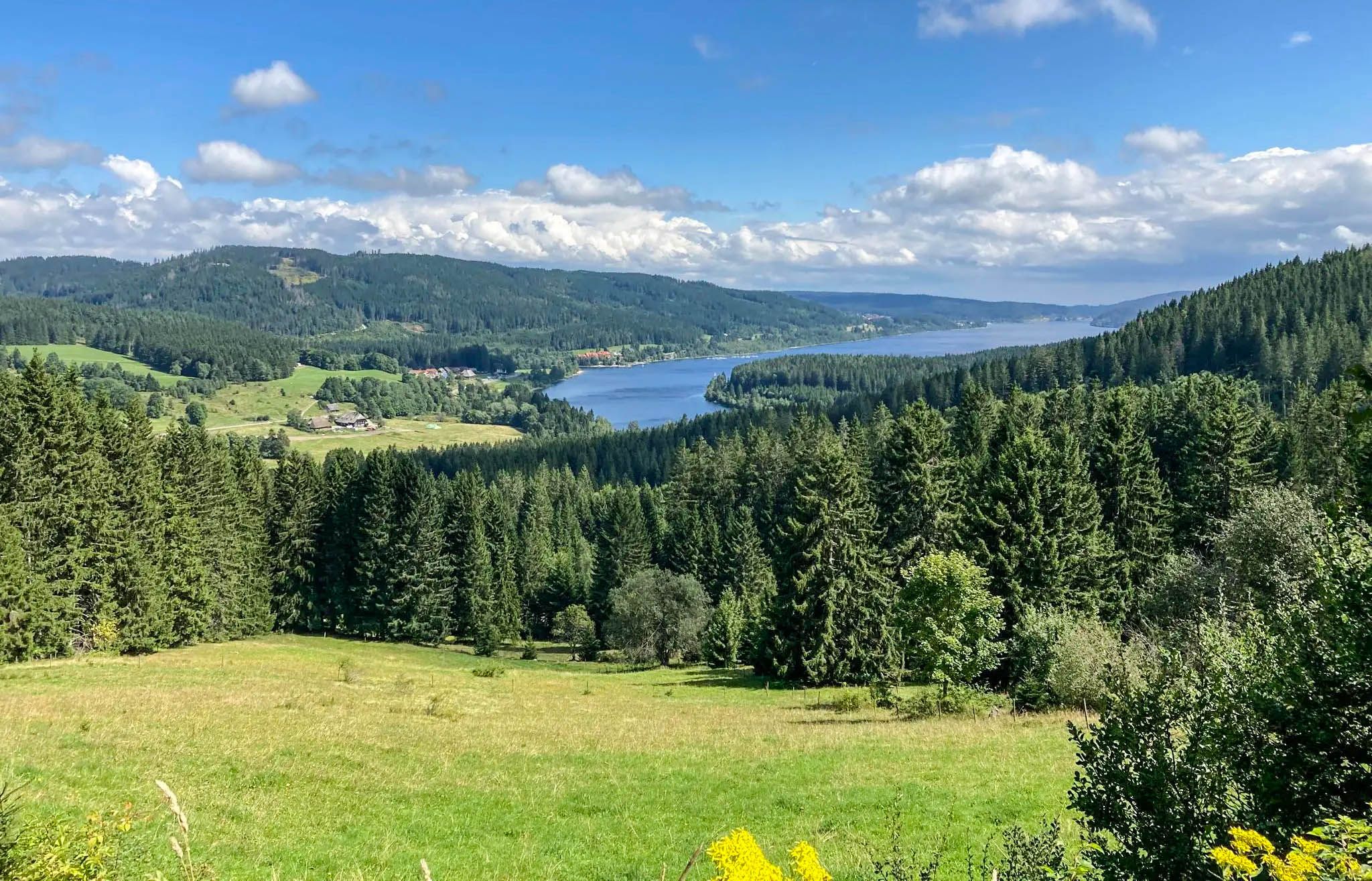
한마 다이도 대지 제목 이름 완 일식니다.
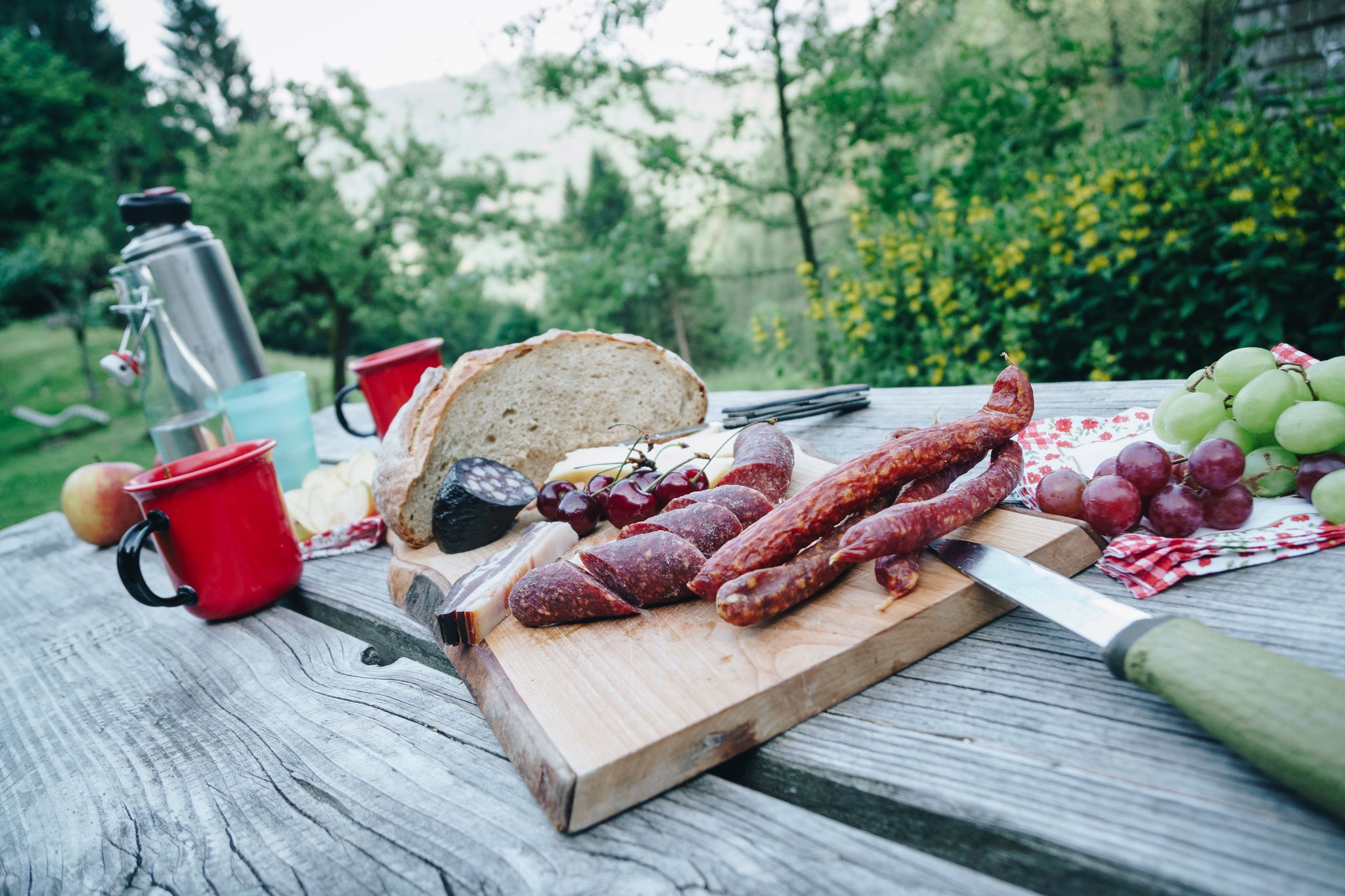
Cheese, blueberries and ham – snacks on Black Forest Genießerpfade
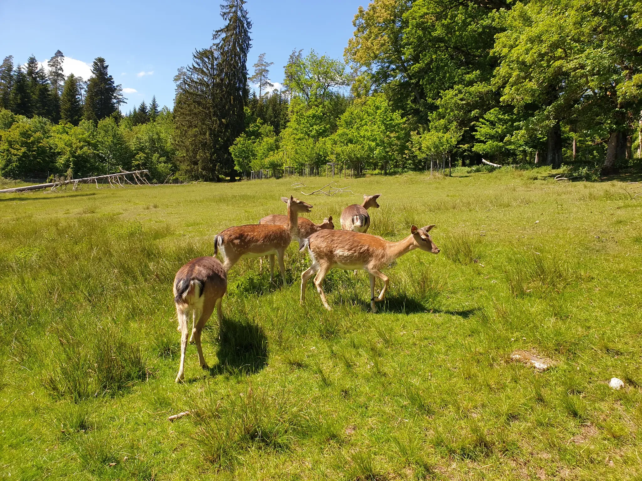
Animals and spectacular landscapes – Black Forest pleasure trails
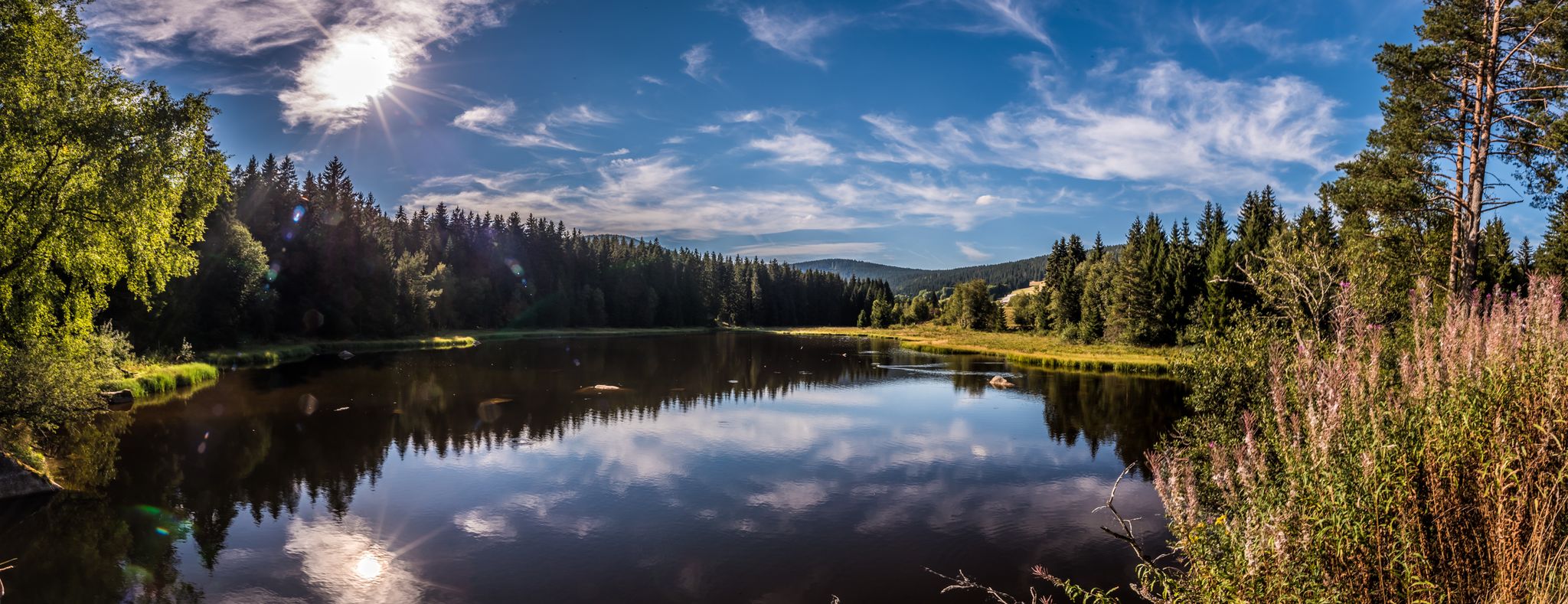
Holidays for the soul — pleasure trails in the Black Forest
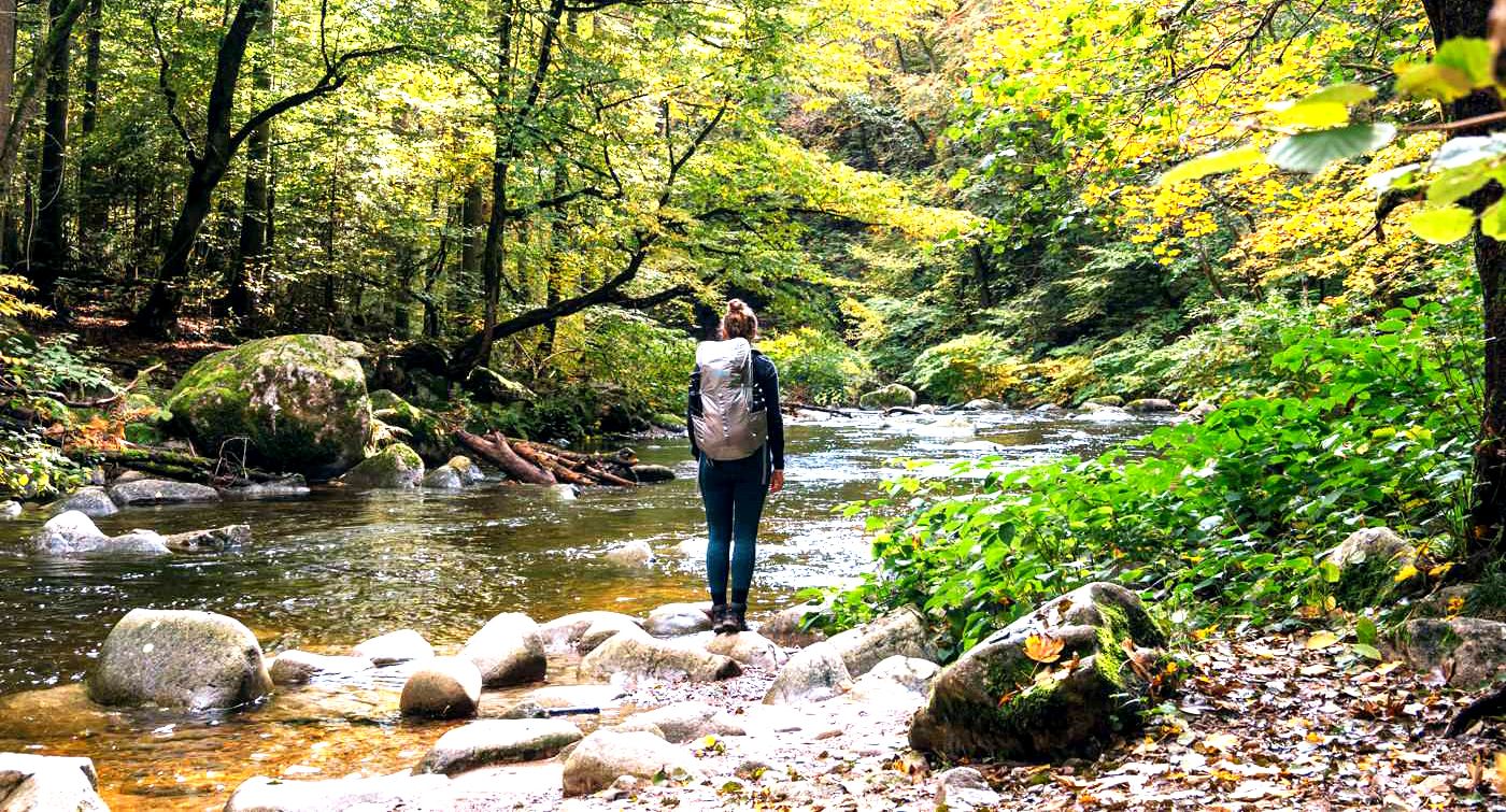
알브슈타이그 트레일을 3일간 하이킹 - 독일의 블랙 포레스트
세인트 블라시엔 주변의 다른 모험


커뮤니티 팁

Anyone who has ever taken the Höllentalbahn from Freiburg to Neustadt in the Black Forest will know the magnificent view of the gorge and the river that you have when you travel over the Ravenna Bridge. The 36-meter-high and 224-meter-long viaduct is the successor to the bridge built in 1887, which was blown up in the Second World War. In the run-up to Christmas, a Christmas market below the bridge invites you to enjoy mulled wine in the Black Forest setting. The best way to discover the Ravenna Viaduct is on a hike - for example, coming from Hinterzarten through the Löffeltal and back through the gorge.
15
2

From here you have a really great view and a nice opportunity to rest.
11
0

Path and climb along the Ravenna that require a bit of sure-footedness. Just beautiful.
7
0

Impressive gorge that is especially good for hiking in summer, as there is always a pleasant coolness there. Not recommended in the winter months due to snow and black ice.
8
0

According to the signs, the bridge withstood the shelling in World War II, but was then blown up in the middle by German soldiers. The central pillars were rebuilt after the war.
17
0

The 36 m high stone arch building from 1926 replaced the steel construction from 1885. The two abutments can still be seen
26
2

The tower, named after the Baden Grand Duke Friedrich I and his wife Luise, was built in 1913 and is now used by the German Weather Service as a weather radar system, which is housed in the radome above.
18
1

From https://www.schwarzwald-aktuell.eu/gschichtle/g-schichtle-die-wetterstation-auf-dem-feldberg summit: A weather observation station of the German Weather Service is located on the Feldberg summit. There are around 100 such stations in Germany. Every change is registered here every hour: air pressure, humidity, temperature, sunshine duration, cloud height, wind speed and much more. A weather radar system is located next to the weather station. It belongs to the radar network of the German Weather Service. It is used to determine the amount of precipitation. The radar sphere has a range of around 200 km and scans the sky 360° horizontally and 90° vertically.
19
1
세인트 블라시엔 주변에서 가장 인기 있는 명소


더 살펴보기
찾고 있는 하이라이트를 아직 못 찾으셨나요? 다른 지역의 주요 명소 가이드를 확인해보세요:
