하임스하임 최고의 라이딩 경로
4.5
(723)
9,302
자전거 타는 사람
199
라이딩
하임스하임의 로드 사이클링 경로를 찾으시나요? 그렇다면 하임스하임 로드 라이딩 컬렉션 중에서 가장 멋진 라이딩 장소를 아래에서 살펴보세요.
마지막 업데이트: 10월 11, 2026
4.7
(11)
95
자전거 타는 사람
47.8km
02:00
280m
280m
보통 도로 자전거 타기. 좋은 체력 필요. 투어 중 라이딩하기 어려운 비포장 구간이 있을 수 있음.
4.9
(21)
75
자전거 타는 사람
26.9km
01:08
200m
200m
초급용 로드 라이딩. 모든 체력 수준에 적합. 지면 대부분이 잘 포장되어 있고 라이딩하기 쉬움.

5.0
(3)
57
자전거 타는 사람
55.9km
02:59
1,070m
1,070m
어려운 도로 자전거 타기. 우수한 체력 필요. 지면 대부분이 잘 포장되어 있고 라이딩하기 쉬움.
5.0
(1)
60
자전거 타는 사람
30.4km
01:20
270m
270m
초급용 로드 라이딩. 모든 체력 수준에 적합. 지면 대부분이 잘 포장되어 있고 라이딩하기 쉬움.
5.0
(2)
50
자전거 타는 사람
35.9km
01:39
430m
430m
보통 도로 자전거 타기. 좋은 체력 필요. 지면 대부분이 잘 포장되어 있고 라이딩하기 쉬움.
더 다양한 경로와 다른 탐험가들의 추천을 살펴보세요.
이미 komoot 계정이 있나요?
투어 추천은 다른 사람들이 komoot에서 완료한 수천 개의 활동을 바탕으로 구성되어 있습니다.
오늘 무료 계정으로 시작하세요
다음 모험이 기다리고 있어요.
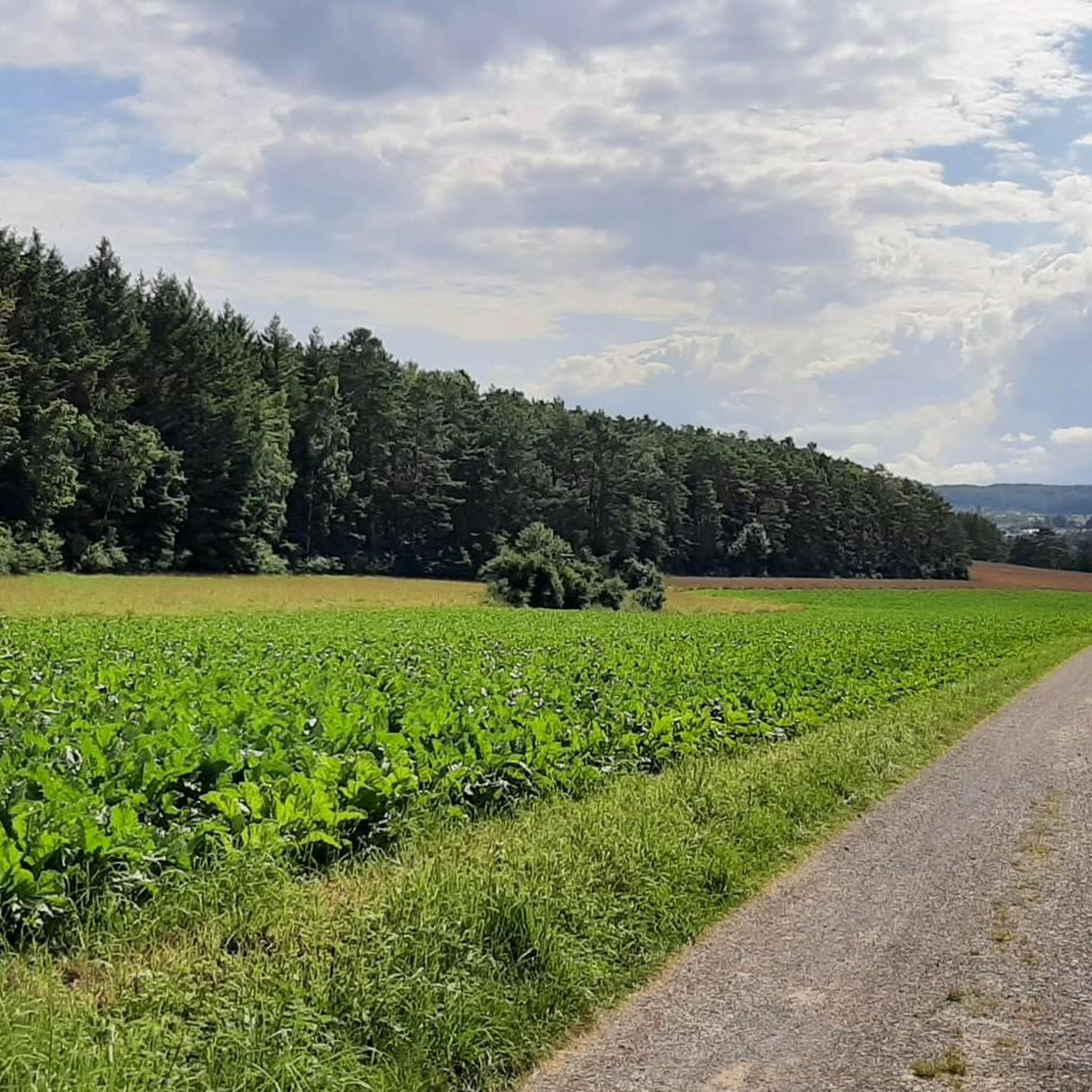
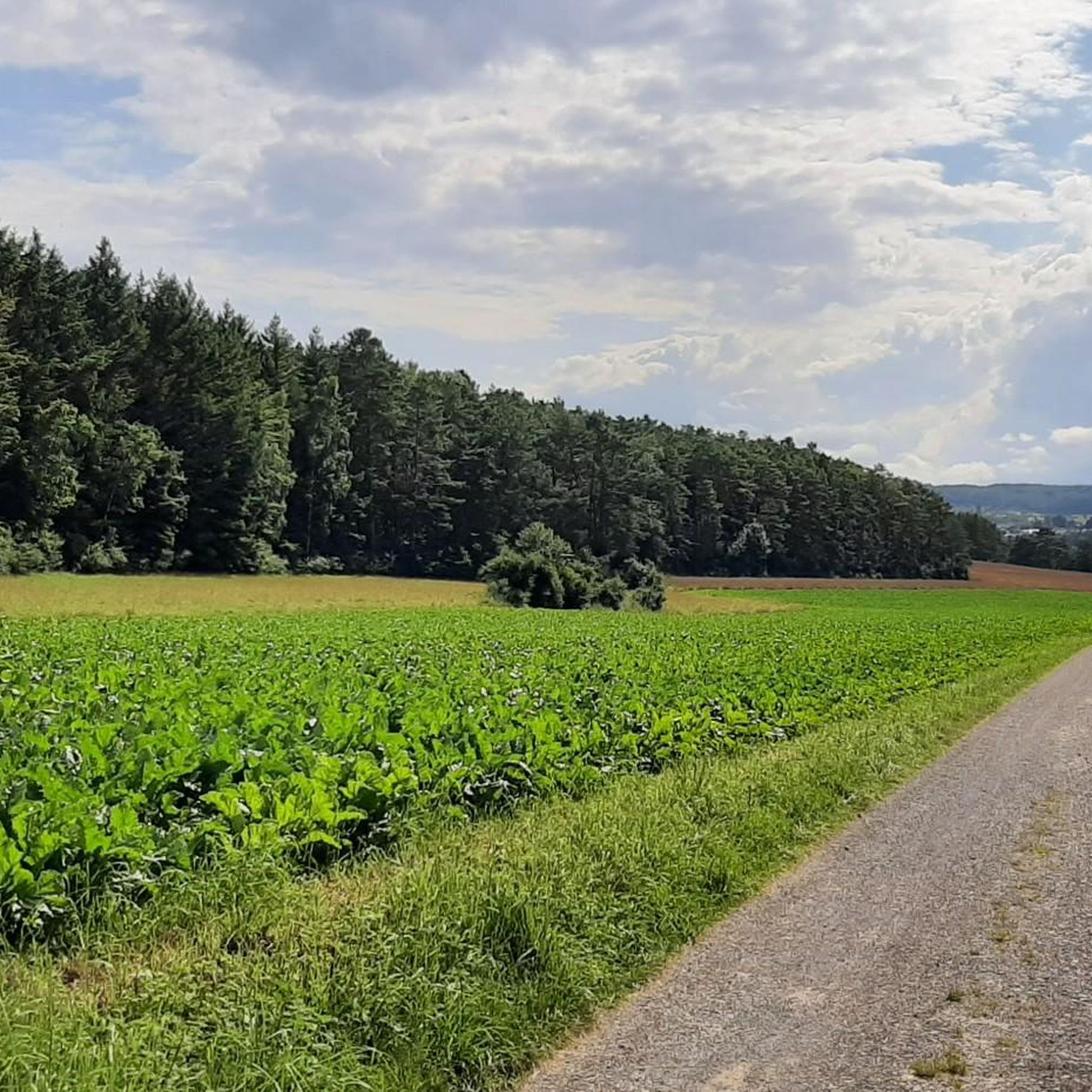
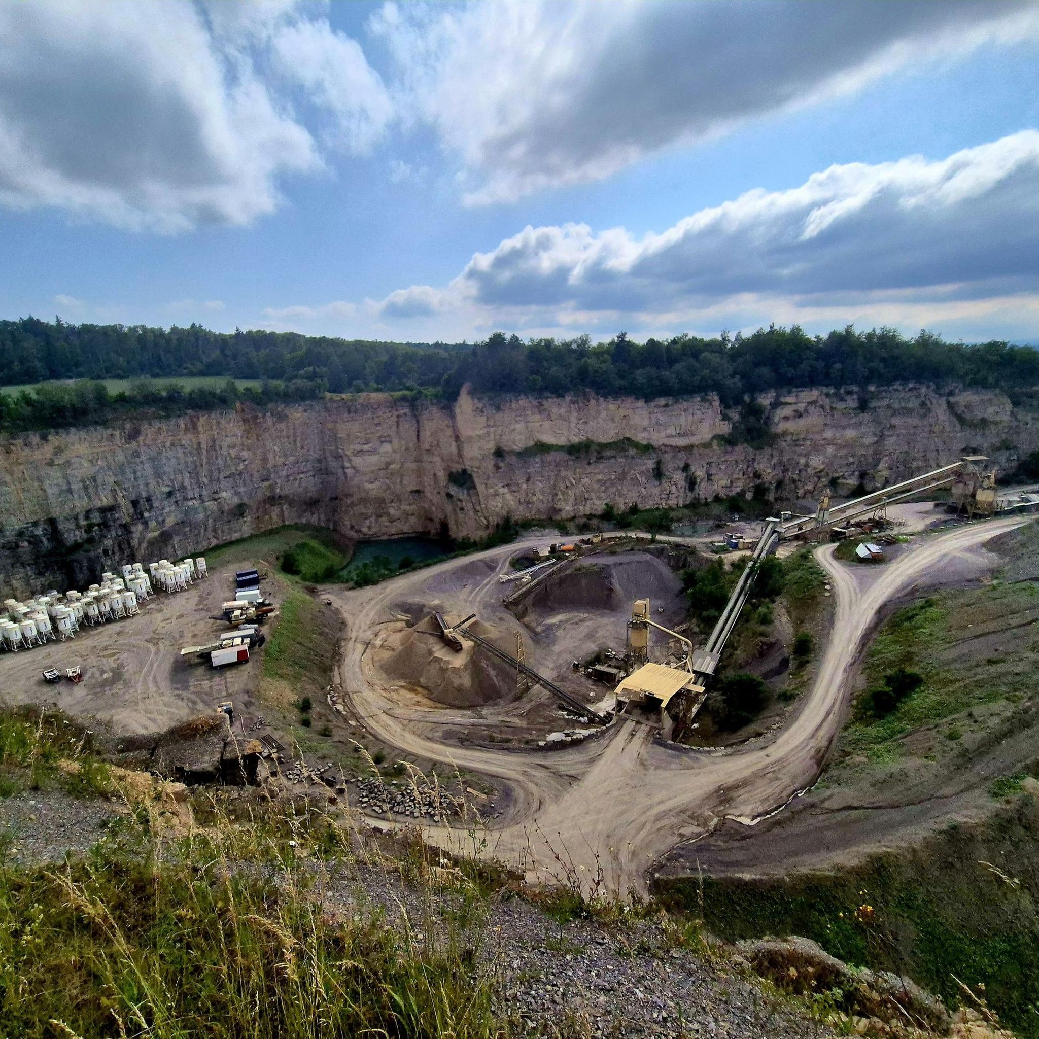
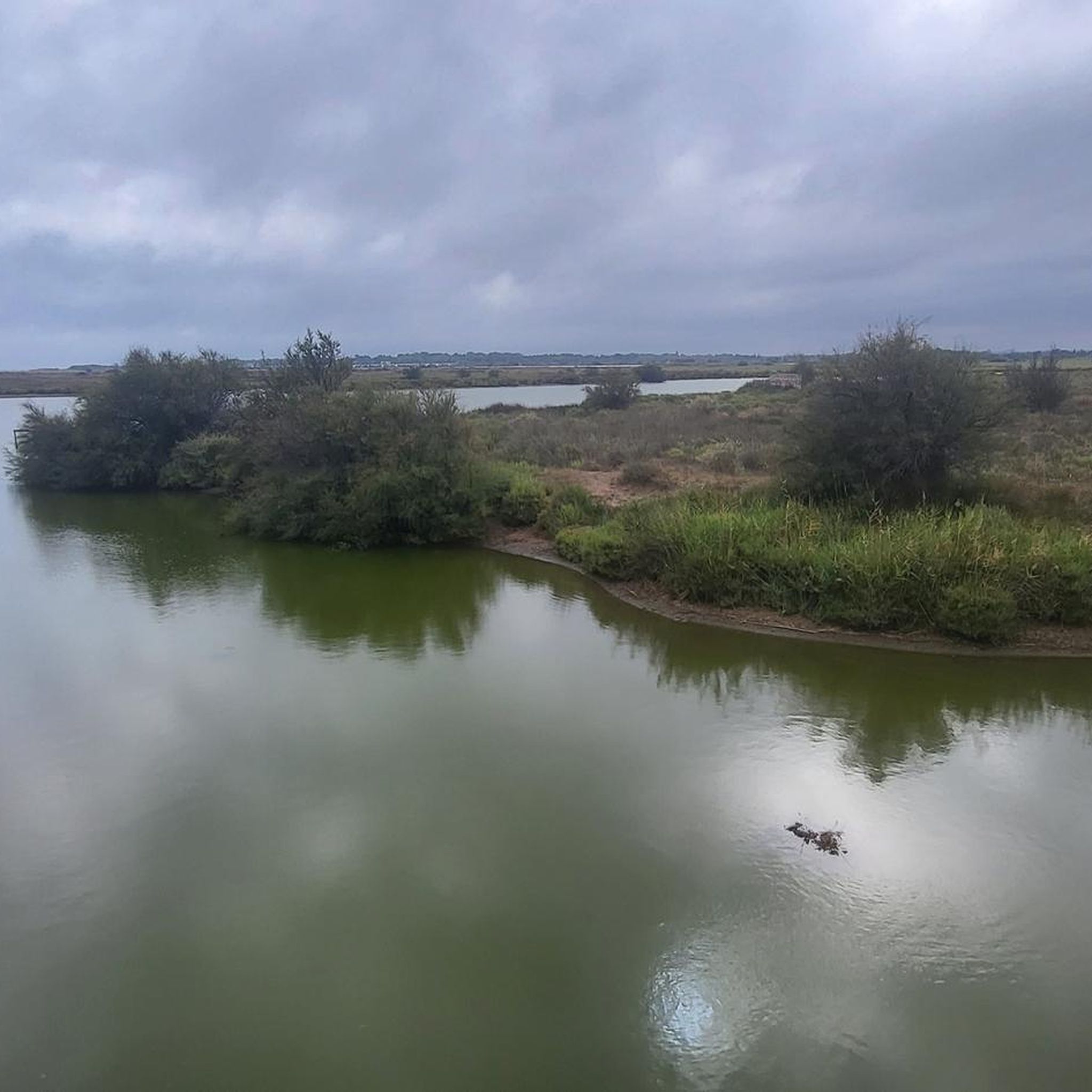
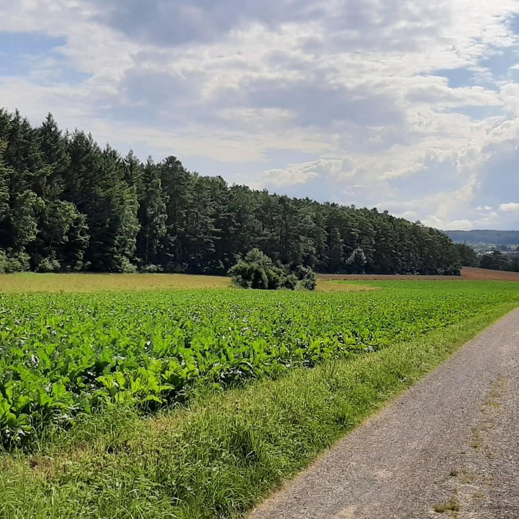
커뮤니티 팁

청동 조각상 "동물을 보호하라" 위치: 뷔르머 플레츨레 - 마을 입구, 뷔르므 다리 바로 앞 예술가: 엘레나 플라무라키스-블라추라, 펠바흐 이 청동 조각품은 2003년 4월 25일 뷔르머 플레츨헨 준공을 기념하여 제작된 니퍼른 발처 예술 주조소의 무료 대여품입니다. 아돌프 자우터 교수가 예술적으로 장식한 작은 청동 동물들이 있는 새 모이대와 함께, 이 조각품은 "운터레스 뷔르므탈" 자연 보호 구역 가장자리에 위치하며 동물 보호를 위한 기념비 역할을 합니다. 이 남성은 아이벡스 앞에 보호적으로 서 있는데, 이는 로이트룸 백작의 문장 동물로서 뷔르므와의 연결을 상징합니다.
4
0

Nagoldtalradweg의 가장 아름다운 구간은 Pfrondorfer Mühle 이후 Pforzheim까지 이어집니다. 전체 구간이 포장되어 있으며 발을 물에 담글 수 있는 기회가 계속 있습니다. 특히 Monbachtal에서는 다양한 식당들이 잠시 멈추도록 유혹합니다. 영업 시간 외에 도착하는 경우, 24시간 운영되는 자동판매기가 준비되어 있습니다. 또한 야생 Monbach 협곡으로 들어가고 싶은 하이커들에게 인기 있는 출발점이기도 합니다. 추가로 이곳에서 Godi Golf 한 라운드를 즐길 수도 있습니다.
6
0


오르막과 내리막 모두 멋진 가파른 구간입니다.
0
0
The Lengenbach, a tributary of the Nagold River, is dammed to create the Stadtsee (City Lake). A footpath encircles the lake, measuring just 300 meters. The walk is worthwhile, as the path offers a variety of scenic views. An information panel on the lake's shore explains that the Stadtsee was originally a reservoir for powering the waterwheel of the former Lower Mill. It also served as a trout pond, providing sustenance for the local fish. It remains unclear whether the dam was commissioned by Hirsau Abbey or by the local lords of the castle. Since 2013, a sandstone statue has stood on the lake's shore. It depicts the legendary giant "Erkinger," who once ruled Liebenzell Castle. As of 2021, the mill site located between the Stadtsee and St. Blasius Church awaits development. In this context, the Lengenbach stream is to flow above ground again from the city lake to the Nagold river. Housing and public parking are planned for the area.
1
0

A great road in itself. A bike path runs alongside it. Unfortunately, the road runs straight ahead, while the bike path zigzags 90° to 90° every 500 meters, and some of the tight curves are also covered in slippery gravel. The result: slow down to walking pace every 500 meters. So it's no wonder cyclists swerve onto the road where they can let it go.
1
0


더 살펴보기
다른 지역의 최고의 로드 사이클링 경로를 살펴보세요.
