엥겔스브란트 최고의 라이딩 경로
4.5
(586)
8,234
자전거 타는 사람
213
라이딩
엥겔스브란트에서 로드 사이클링을 하실 계획인가요? 엥겔스브란트의 모든 로드 라이딩 중에서 가장 멋진 라이딩 장소를 엄선했으니 엥겔스브란트에서 가장 마음에 드는 로드 사이클링 경로를 찾아보세요.
마지막 업데이트: 7월 12, 2026
4.8
(20)
524
자전거 타는 사람
115km
04:55
900m
900m
어려운 도로 자전거 타기. 우수한 체력 필요. 지면 대부분이 잘 포장되어 있고 라이딩하기 쉬움.
4.6
(77)
372
자전거 타는 사람
51.7km
02:30
740m
740m
보통 도로 자전거 타기. 좋은 체력 필요. 지면 대부분이 잘 포장되어 있고 라이딩하기 쉬움.

무료 회원 가입
4.7
(7)
121
자전거 타는 사람
125km
05:52
1,300m
1,300m
어려운 도로 자전거 타기. 우수한 체력 필요. 투어 중 라이딩하기 어려운 비포장 구간이 있을 수 있음.
5.0
(1)
42
자전거 타는 사람
47.7km
02:25
780m
780m
보통 도로 자전거 타기. 좋은 체력 필요. 지면 대부분이 잘 포장되어 있고 라이딩하기 쉬움.
16
자전거 타는 사람
65.1km
03:06
730m
730m
보통 도로 자전거 타기. 좋은 체력 필요. 투어 중 라이딩하기 어려운 비포장 구간이 있을 수 있음.
더 다양한 경로와 다른 탐험가들의 추천을 살펴보세요.
무료 회원 가입
이미 komoot 계정이 있나요?
투어 추천은 다른 사람들이 komoot에서 완료한 수천 개의 활동을 바탕으로 구성되어 있습니다.
오늘 무료 계정으로 시작하세요
다음 모험이 기다리고 있어요.
로그인 또는 가입하기

커뮤니티 팁

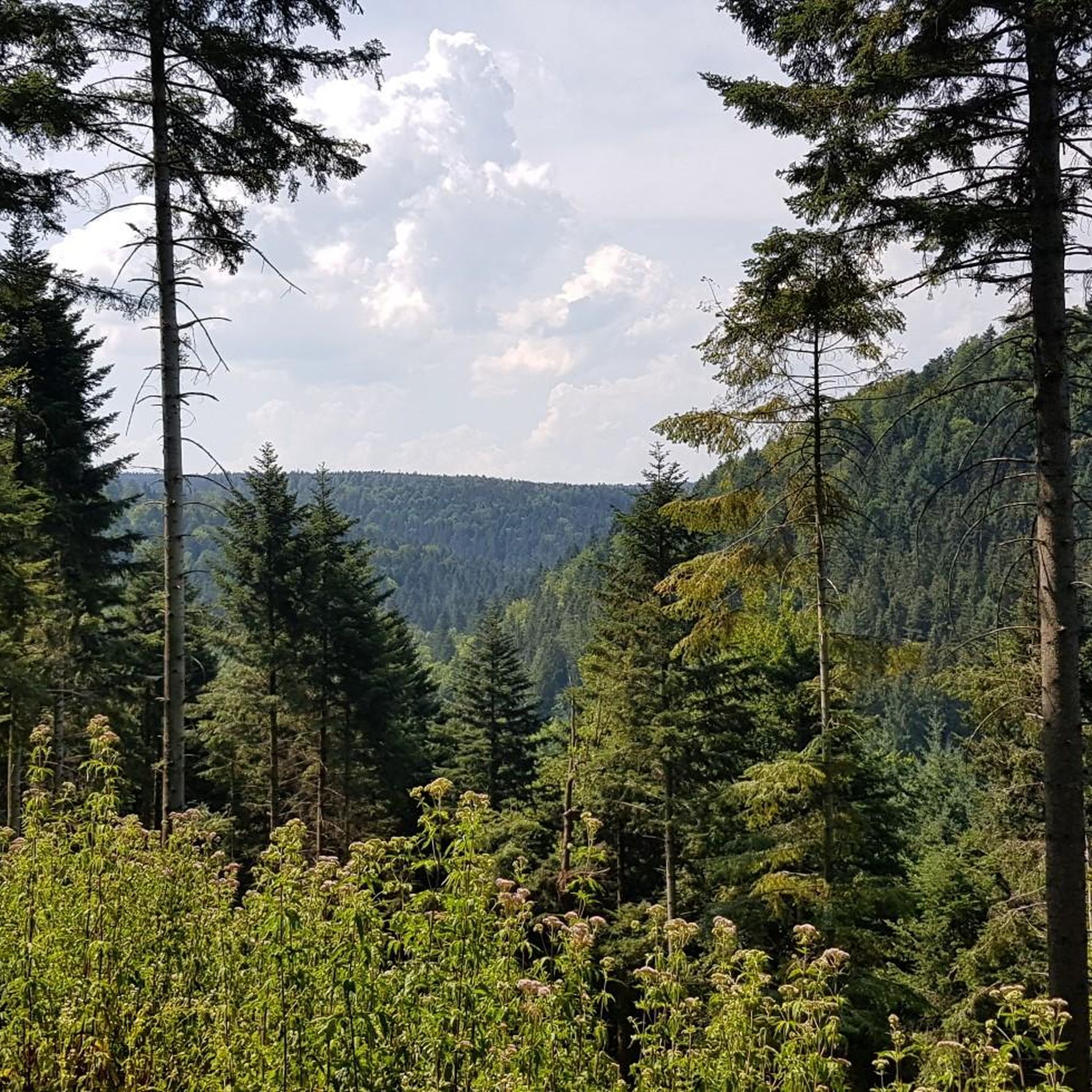
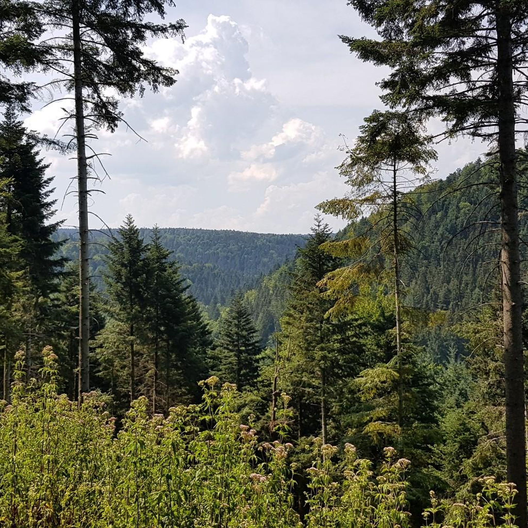
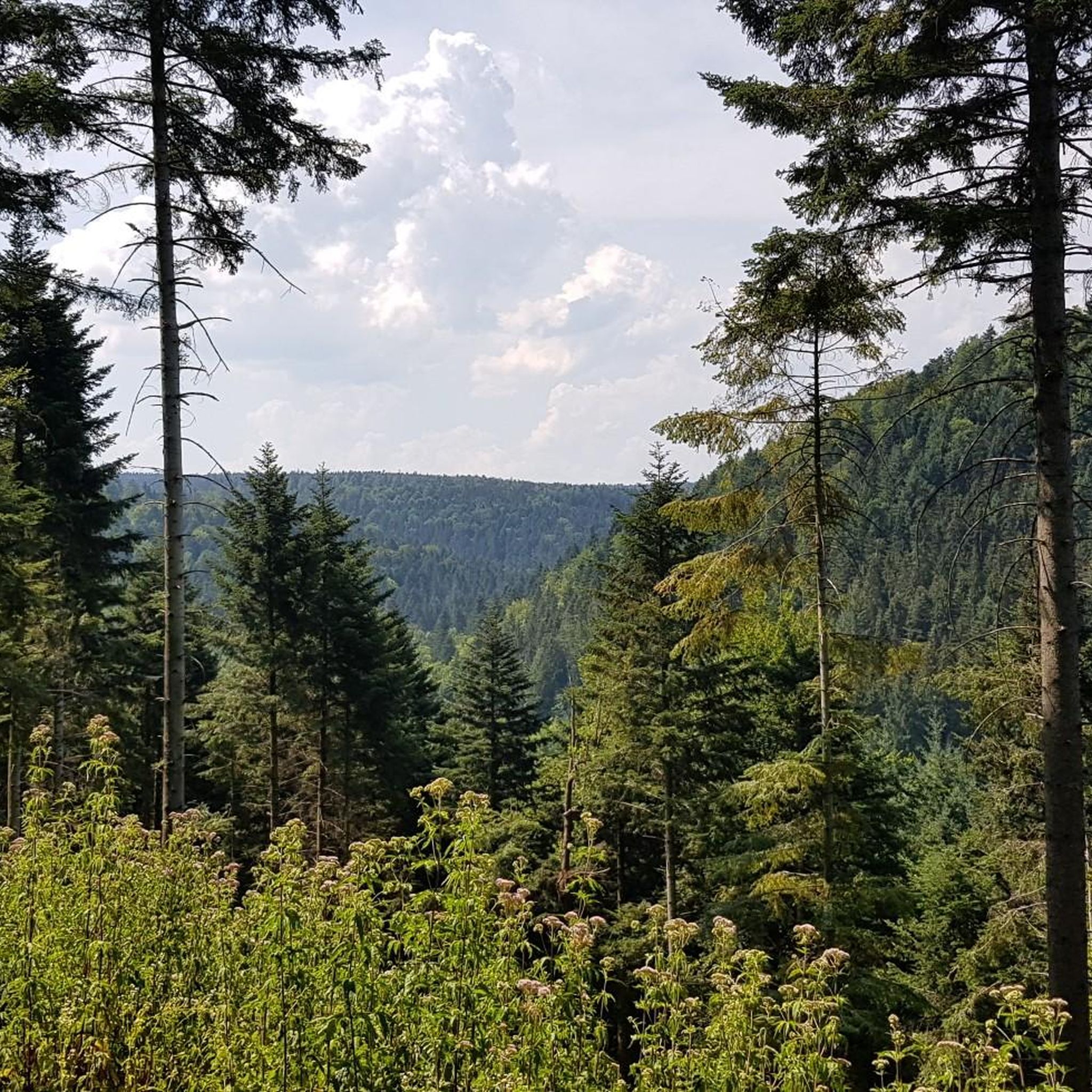
연방 도로에서 대신 운전할 이유가 거의 없습니다. 여기서는 평화를 누릴 수 있고, 추월할 수 없는 커브에서의 스트레스를 피할 수 있으며, 또한 오래된 기차역 근처의 둔덕보다 몇 HM을 절약할 수 있습니다. 밤에도 교통량이 없을 때도 이곳을 선호합니다. 안타깝게도 2026년 여름에는 시청 근처에 공사 현장이 있습니다. 보행자를 위해 약 100m 동안 더 거친 자갈길이 만들어졌으며, 비공식적으로도 운전할 수 있습니다.
0
0

The Lengenbach, a tributary of the Nagold River, is dammed to create the Stadtsee (City Lake). A footpath encircles the lake, measuring just 300 meters. The walk is worthwhile, as the path offers a variety of scenic views. An information panel on the lake's shore explains that the Stadtsee was originally a reservoir for powering the waterwheel of the former Lower Mill. It also served as a trout pond, providing sustenance for the local fish. It remains unclear whether the dam was commissioned by Hirsau Abbey or by the local lords of the castle. Since 2013, a sandstone statue has stood on the lake's shore. It depicts the legendary giant "Erkinger," who once ruled Liebenzell Castle. As of 2021, the mill site located between the Stadtsee and St. Blasius Church awaits development. In this context, the Lengenbach stream is to flow above ground again from the city lake to the Nagold river. Housing and public parking are planned for the area.
1
0

A great road in itself. A bike path runs alongside it. Unfortunately, the road runs straight ahead, while the bike path zigzags 90° to 90° every 500 meters, and some of the tight curves are also covered in slippery gravel. The result: slow down to walking pace every 500 meters. So it's no wonder cyclists swerve onto the road where they can let it go.
0
0

The town lake in Bad Liebenzell is located on the orographic left slope of the Nagold Valley, approximately 200 meters west of the Nagold River. The Lengenbach, a tributary of the Nagold River, is dammed in the town lake by a small dam. A footpath can be used to circumnavigate the town lake. The circular path is just about 300 meters long. Walking around the small lake is worthwhile, as new views continually open up along the way.
3
0

Covered wooden bridge over the Nagold with two bulges in the middle of the bridge.
12
0

A perfect bike path: very good asphalt and nice and wide. And completely safe from cars and motorcycles, plus the scenery is beautiful.
0
0
A great route with beautiful views. Coming from Neuhausen, the climb is longer, but the gradient remains very moderate. Coming from Münklingen, you first have to conquer a steep ramp, but you're then rewarded with a long descent on a top-quality surface. Be careful on the descent to Münklingen! The gradient will increase your speed, and you should take the warning about road damage seriously! There are some nasty potholes and bumps that, in the worst case, can make you fly...
0
0
A wonderful route – quiet and with a great surface! It's a bit hilly at times, with a steeper section in between, which means a short descent from the Wildbad direction. In winter, however, the path isn't cleared, is a bit dirty (natural), and dries slowly due to the shady location. Then I prefer to take the road – which is more suitable for a steady pace. Otherwise, there's really no reason to leave the path. From Kaltenbronn, the only direct way to reach the bike path is via a short meadow trail around the bridge.
0
0
엥겔스브란트 주변에서 가장 인기 있는 명소


더 살펴보기
다른 지역의 최고의 로드 사이클링 경로를 살펴보세요.
