아우에탈에서 가장 멋진 6개의 산 정상
아우에탈의 산 정상에 오르면 이 지역의 아름다운 모습을 제대로 구경할 수 있어요. 다만, 6
곳이나 되는 산 정상 중에서 어떤 곳을 가야 할 지 고민된다는 게 문제죠. 아우에탈에서 가장 멋진 산 정상을 살펴본 후에 마음에 드는 산 정상을 다음 모험 계획에 추가해보세요.
마지막 업데이트: 8월 25, 2026
노르드만스투름과 숲속 레스토랑
하이라이트 • 전망대
번역자 Google •
팁에 의해


이런 장소를 발견하려면 지금 가입하세요
최고의 싱글 트랙, 봉우리 및 다양한 흥미로운 야외 장소에 대한 추천을 받아보세요.
무료 회원 가입
페른멜데투름 바르징하우젠
하이라이트 • 기념물
번역자 Google •
팁에 의해

옛 루트비히탑 근처의 쉼터
하이라이트 • 휴식 공간
번역자 Google •
팁에 의해

로덴베르거 회에 전망
하이라이트 • 전망대
번역자 Google •
팁에 의해

무료로 가입하여 아우에탈 주변의 더 많은 봉우리를 발견하세요.
무료 회원 가입
이미 komoot 계정이 있나요?
오늘 무료 계정으로 시작하세요
다음 모험이 기다리고 있어요.
로그인 또는 가입하기
아우에탈 주변 인기 장소
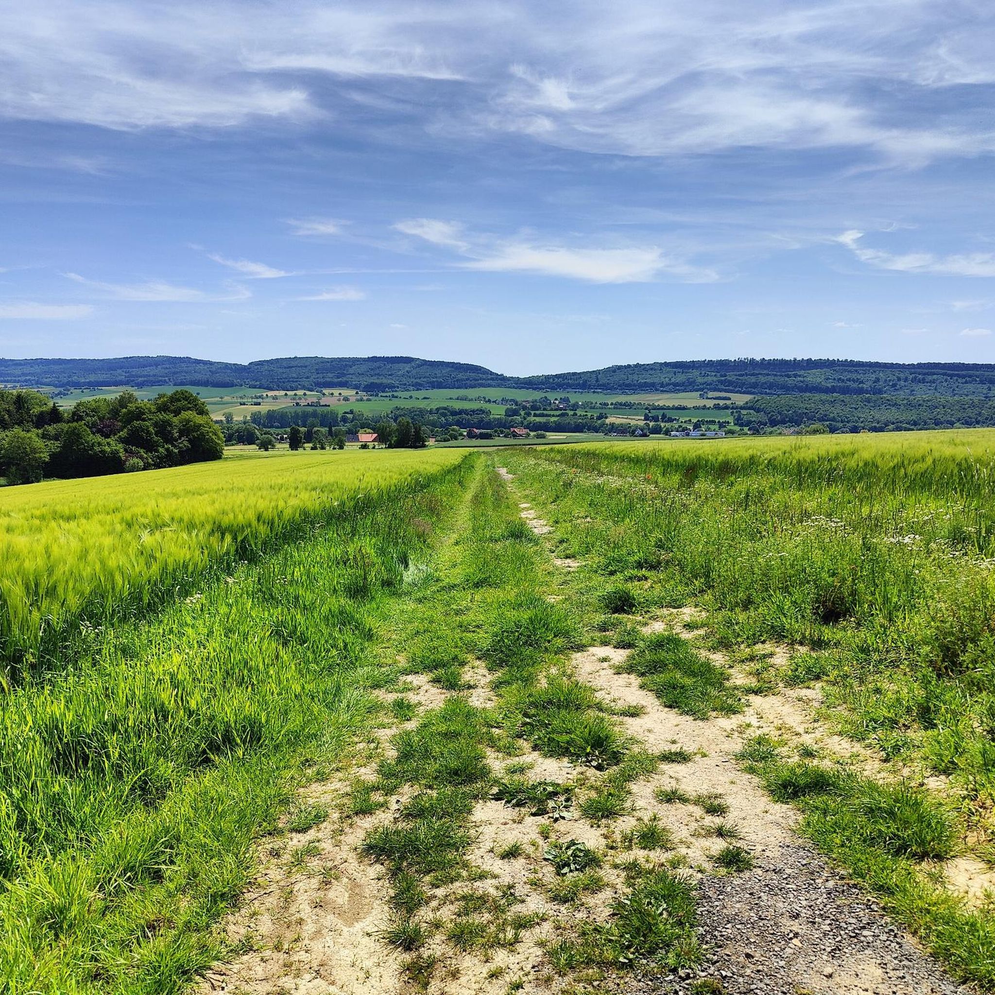
아우에탈 주변의 다른 모험


커뮤니티 팁

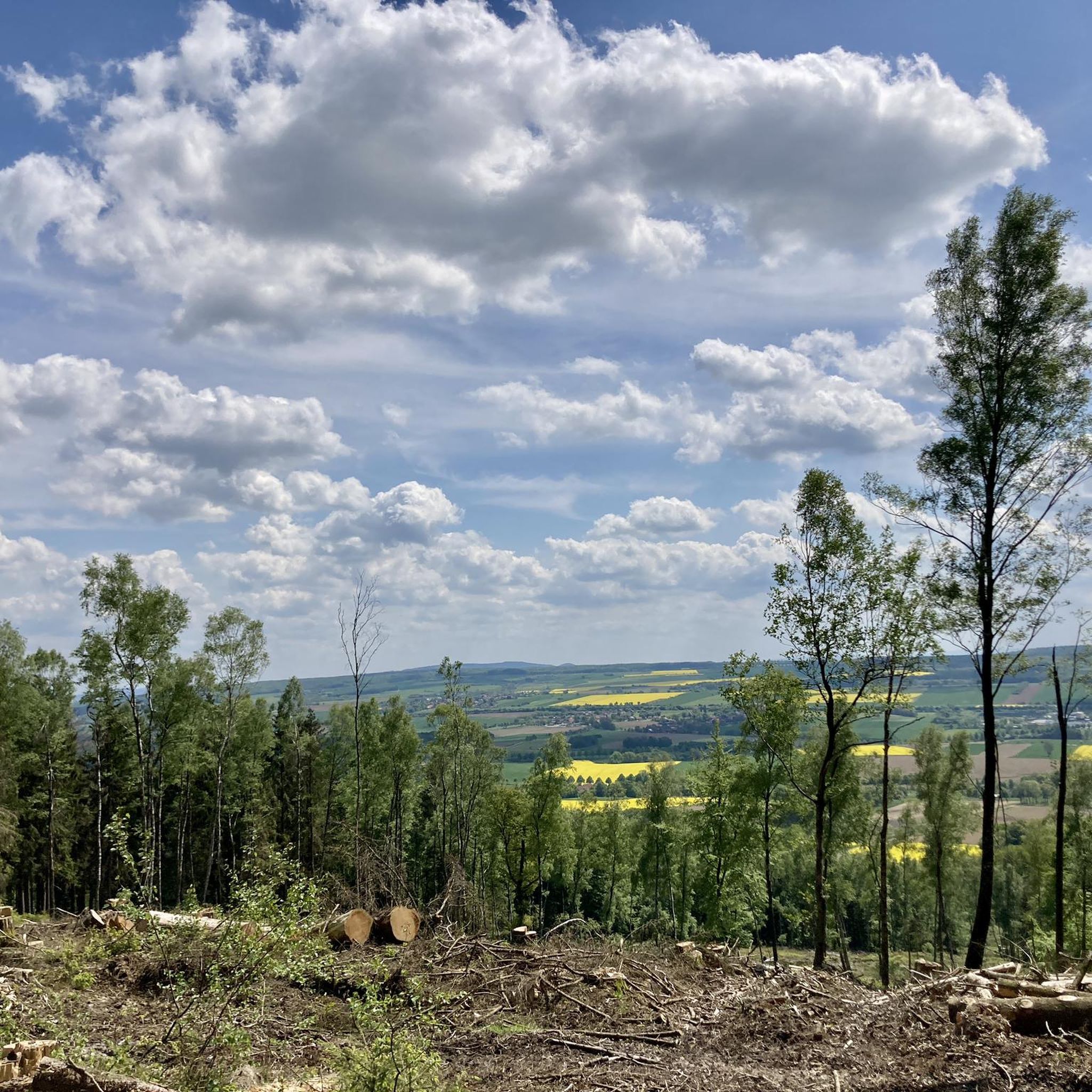
The Rodenberger Höhe rises west of Heisterburg Castle at 322 m above sea level. It is a trigonometric point for the national survey and the site of a tower with telecommunications equipment. About 600 meters northwest of this spot – still in the parcel of land of the same name – is the Rodenberger Hütte, which is why many Deister hikers also call it the "Rodenberger Höhe." As early as the reign of Kaiser Wilhelm II, the Hanover Tourist Association built a shelter here from rubble stone with a flat roof serving as an observation platform, offering a magnificent view of Lake Steinhude, the Süntel Valley, the Süntel, and the Bückeberge Mountains. Today, the view is limited by the fast-growing trees below the hut and will surely soon become overgrown unless the responsible Saupark (Springe) Forestry Office takes countermeasures. Source: https://guentherklapproth.hier-im-netz.de/nachtrag_5_rodenberger_hoehe.html
1
0
The Rodenberger Höhe rises to the west of the Heisterburg at 322 m above sea level. It is a trigonometric point for the national survey and the location for a tower with telecommunications equipment. About 600 meters northwest of this point you will find the Rodenberger Hütte - still in the parcel of land of the same name - which is why many Deister hikers also call it the "Rodenberger Höhe". As early as the reign of Kaiser Wilhelm II, the Hanover Tourist Association had built a shelter here out of quarry stone with a flat roof that served as a viewing platform, from which a wonderful view of the Steinhuder Meer, Sünteltal, Süntel and Bückeberge was possible. Source: https://guentherklapproth.hier-im-netz.de/nachtrag_5_rodenberger_hoehe.html
2
0
From 1975 to 2018, the Ludwigsturm, a wooden observation tower (covered platform at a height of 22 m), stood on the Rumbecker Berg near Wennenkamp. The tower was blown up on October 13, 2018 due to rotting damage. From 1901 to 1918 there was a first Ludwig tower on the same spot, which was named after the Rinteln high school teacher Ludwig Schwarz and also gave the second tower its name. Source: https://freizeitmonster.de/aktivitaeten/orte/ludwigsturm-wennenkamp-195011
2
0
The Rodenbergerhöhe rises to the west of the Heisterburg at 322 m above sea level. It is a trigonometric point for national surveying and a location for a tower with telecommunications facilities. About 600 meters north-west of this point you will find - still in the field of the same name - the Rodenberger Hütte, which is why many Deister hikers also call it "Rodenbergerhöhe". Source: http://www.guentherklapproth.privat.t-online.de/nachtrag_5_rodenberger_hoehe.html
2
0

Beautiful Secluded Shelter With Meadow
1
0
It only took a few fractions of a second before the Ludwigsturm was on the ground. Blown up by a twelve-man special troop from the Lower Saxony THW regional association, the once so vigorous excursion point and destination of many a hiker turned into a heap of scrap metal. In August 2017, it became known that serious damage had been found during a routine inspection of the Ludwig Tower. The popular observation tower was then fenced off and closed to visitors. Entering was immediately prohibited under penalty, there was a risk of death. In 1975, the wooden tower was erected in a forest clearing on the Taubenberg. The building got its name from its predecessor, which according to a flyer for the historic town walk stood in the same place from 1901 to 1919 and was dedicated to the Rinteln high school teacher Ludwig Schwarz. Now the tower is history. At 12 noon sharp on Saturday, October 13, 2018, the first of more than 40 explosive charges detonated and dismantled the wooden framework. Source: https://www.rinteln-aktuell.de/ludwigsturm-geexprengt/
3
1
The communications tower Barsinghausen (internal: radio transmission point Barsinghausen 2) is a 150 meter high communications tower of Deutsche Funkturm. It is located on the 361 meter high Great Neck within the Deister and was put into operation in 1969. Structurally, it is an FMT 2 type tower. Radio programs are broadcast from here in addition to non-public directional radio. Source: https://de.wikipedia.org/wiki/Fernmeldeturm_Barsinghausen
5
0
The Rodenbergerhöhe rises to the west of the Heisterburg at 322 m above sea level. It is a trigonometric point for national surveying and a location for a tower with telecommunications facilities. About 600 meters northwest of this point you will find the Rodenberger Hütte - still in the parcel of the same name - which is why many Deister hikers also refer to it as "Rodenbergerhöhe". Already during the reign of Kaiser Wilhelm II, the Hanover Tourist Association had built a shelter here from rubble stones with a flat roof serving as a viewing platform, from which a magnificent view of the Steinhuder Meer, Sünteltal, Süntel and Bückeberge was possible. Source: http://guentherklapproth.homepage.t-online.de/nachtrag_5_rodenberger_hoehe.html
3
0
아우에탈 주변에서 가장 인기 있는 명소


더 살펴보기
이 가이드를 통해 아우에탈 주변의 더 놀라운 정상들을 확인해보세요:
