그로소스트하임 최고의 MTB 라이딩 경로
4.7
(232)
745
자전거 타는 사람
65
라이딩
그로소스트하임에 있는 멋진 산악자전거 라이딩 경로를 따라 어디로 가 볼까요? 그로소스트하임에 있는 MTB 경로 컬렉션 중에서 가장 멋진 장소를 아래에서 살펴보세요.
마지막 업데이트: 9월 7, 2026
4.8
(13)
82
자전거 타는 사람
32.7km
02:52
690m
690m
보통 산악 자전거 타기. 좋은 체력 필요. 뛰어난 라이딩 실력이 필요함.
4.8
(30)
100
자전거 타는 사람
24.7km
02:05
380m
380m
보통 산악 자전거 타기. 좋은 체력 필요. 뛰어난 라이딩 실력이 필요함.

5.0
(13)
51
자전거 타는 사람
29.4km
02:32
460m
460m
보통 산악 자전거 타기. 좋은 체력 필요. 뛰어난 라이딩 실력이 필요함.
4.5
(6)
44
자전거 타는 사람
23.1km
01:57
330m
330m
보통 산악 자전거 타기. 좋은 체력 필요. 뛰어난 라이딩 실력이 필요함.
4.9
(11)
28
자전거 타는 사람
15.2km
01:10
200m
200m
보통 산악 자전거 타기. 모든 체력 수준에 적합. 뛰어난 라이딩 실력이 필요함.
더 다양한 경로와 다른 탐험가들의 추천을 살펴보세요.
이미 komoot 계정이 있나요?
투어 추천은 다른 사람들이 komoot에서 완료한 수천 개의 활동을 바탕으로 구성되어 있습니다.
오늘 무료 계정으로 시작하세요
다음 모험이 기다리고 있어요.
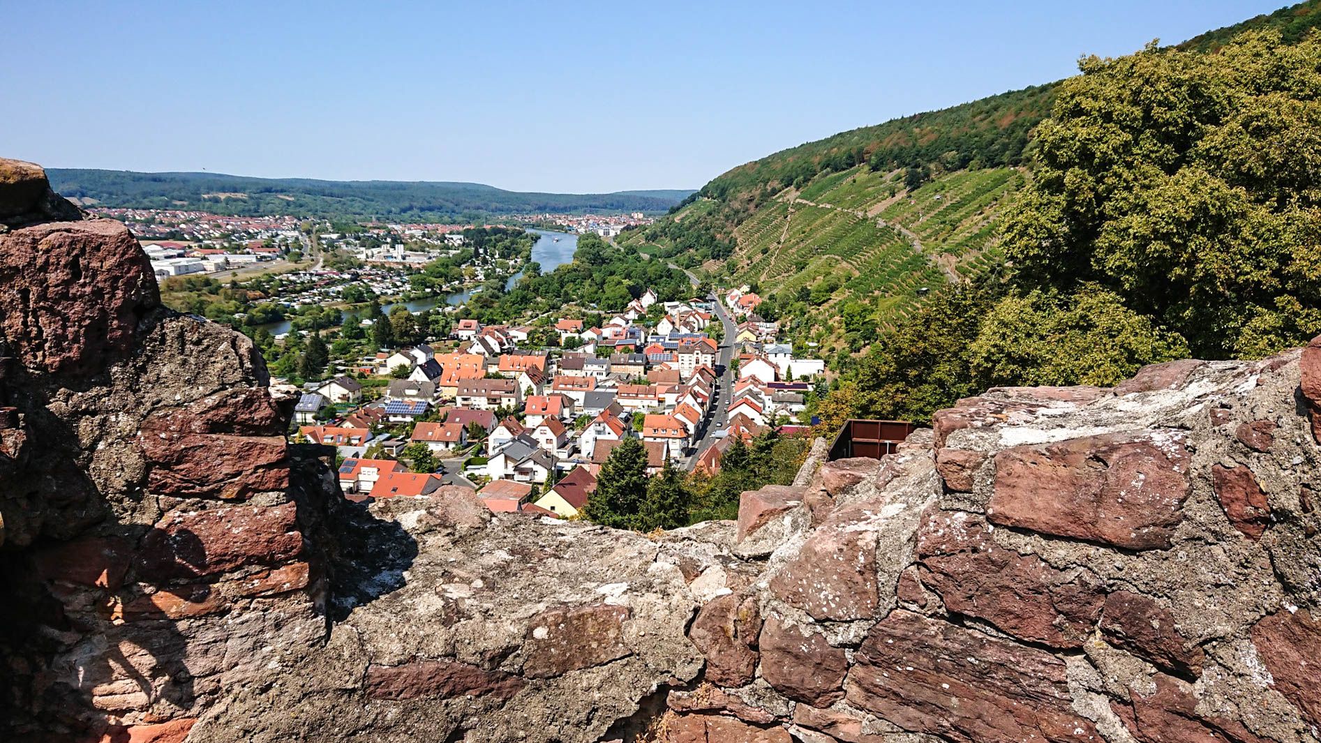
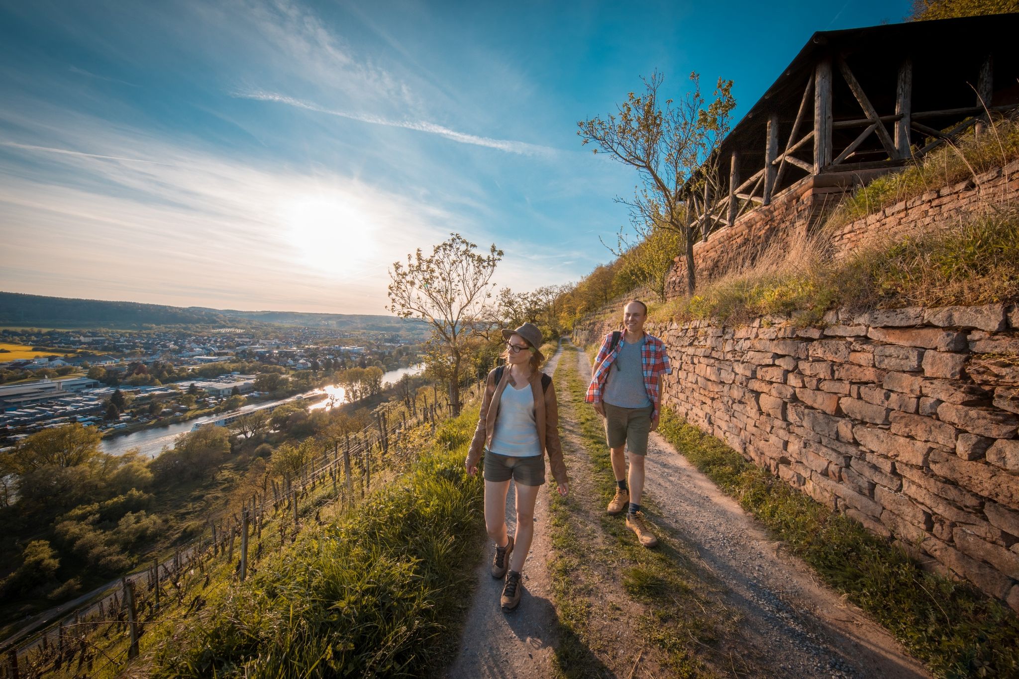
그로소스트하임 주변의 다른 모험


커뮤니티 팁

통과하기 좋은 시원한 터널; 중간에 물이 고여 있을 때가 있으니 약간 가장자리로 가는 것이 좋습니다.
1
0


Pflaumheim의 트레일 시작 지점은 녹색 폐기물 수집 장소로 인해 더 이상 접근할 수 없으므로 잠겨 있습니다.
0
1

여름에는 길이 부분적으로 상당히 우거져 있습니다.
1
0

급할 때는 길 교차로에 있는 자연 화장실이 도움이 됩니다. 물로 씻을 수도 있지만 비가 올 때만 가능합니다. :-)
0
0

Anyone who fancies a high-speed trip back in time simply has to include this section between Pflaumheim and Mömlingen in their logbook! Where the steam locomotives of the Bachgau Railway once chugged, the track now belongs to us – and the feeling is absolutely epic. Why you have to ride this: The tunnel thrill: The absolute highlight! You shoot from daylight straight into the dark tunnel. The adrenaline surges as the light at the end of the tunnel (screenshots 8 & 9) grows ever brighter. A true sensory experience! Flowing straights: The track winds its way straight through the landscape (screenshots 3 & 4). Perfect for letting the chain stay on the right and really putting the power down on the pedals – especially in winter, the contrast between the dark gravel and the white powder on either side is fantastic. Panoramic views & solitude: As soon as you emerge from the wooded ravines, sweeping vistas open up across the snow-covered fields of the Bachgau region (Screenshots 1 & 6). 💡 Pro tip for winter: While the route isn't technically demanding, the tunnel passage can be tricky. Watch out for potholes or patches of ice in the dark – a good handlebar light will help you safely navigate this "point of no return"! Verdict: A must for all gravel enthusiasts and MTB aficionados in the region. Fast, steeped in history, and with the tunnel feature, an absolute guarantee for a good time. #Bachgaubahn #GravelKing #TunnelRide #Pflaumheim #Mömlingen #WinterRide #LostPlaces #VeloAdventures
1
1
A Green Tunnel for Explorers As can be seen in your photos (especially the first and last), the route often resembles a "green tunnel" today. The dense hedges and trees on either side of the path not only provide shelter from the wind but also create a unique, almost enchanted atmosphere. This natural shade is a major plus for cyclists, especially on hot summer days. Between Technology and Nature One of your photos shows a section with gravel and construction fences on a raised area. This illustrates two things: The railway's history: The gravel bed on which the tracks used to lie is still clearly visible. Maintenance measures: Since the route often crosses embankments or small bridges, these structures must be regularly maintained to keep the path usable for hiking and cycling. Historical Signposts The close-up photo of the sign on the tree is particularly valuable. These small information panels are typical for the region: They often mark the exact location of former stops or significant sections of the route. They serve as a guide for history buffs who want to trace the exact route of the Aschaffenburg–Höchst railway line. Scenic Contrast Your photos, with their views across the expansive fields, clearly illustrate why the railway line was so important: it directly connected the fertile agricultural landscape of the Bachgau region with the trading center of Aschaffenburg. The contrast between the narrow, shady path and the open, expansive cultural landscape is what makes this tour so appealing.
1
0
그로소스트하임 주변에서 가장 인기 있는 명소


더 살펴보기
다른 지역의 최고의 MTB 트레일를 살펴보세요.
