경로

플래너

기능

업데이트

App

로그인 또는 가입

앱 다운로드

로그인 또는 가입

경로
Places to see
Mountain Peaks
독일
라인란트-팔츠
마옌-코블렌츠

나흐츠하임

나흐츠하임‬에서 가장 멋진 ‪14‬개의 산 정상


나흐츠하임의 산 정상에 오르면 이 지역의 아름다운 모습을 제대로 구경할 수 있어요. 다만, 14
곳이나 되는 산 정상 중에서 어떤 곳을 가야 할 지 고민된다는 게 문제죠. 나흐츠하임에서 가장 멋진 산 정상을 살펴본 후에 마음에 드는 산 정상을 다음 모험 계획에 추가해보세요.

마지막 업데이트: 7월 15, 2026

호헤 아흐트의 카이저 빌헬름 탑

하이라이트 • 기념물

The Hohe Acht is the highest elevation in the Eifel and with the observation tower one of the landmarks of the Hocheifel region. Nearby is the Kaiser Wilhelm Tower.

번역자 Google •

에 의해

하이킹 보기

휴대폰으로 전송

저장

보오스 아이펠투름 전망탑

하이라이트 • 전망대

I counted 125 steps. Benches at the observation tower invite you to linger. The view from the tower is simply fantastic, even if it wasn't quite so clear today. The …

번역자 Google •

에 의해

저장

이런 장소를 발견하려면 지금 가입하세요

최고의 싱글 트랙, 봉우리 및 다양한 흥미로운 야외 장소에 대한 추천을 받아보세요.

무료 회원 가입

뉘르부르크 성

하이라이트 • 성

The highest castle in Rhineland-Palatinate was built on a basalt rock. It was mentioned as early as 945 AD.
The castle ruins are well worth seeing and you even have …

번역자 Google •

에 의해

저장

호에 아흐트 전망

하이라이트 • 전망대

Always drive against the direction of the Nürburgring. Then you will see the cars for longer. If you don't want to see the ring activities, just turn off into the forest and look for wildlife.

번역자 Google •

에 의해

저장

케셀링에서 호에 아흐트로 오르막길

하이라이트 (구간) • 등반

A 14-kilometer climb from Kesseling to the top of the Eifel. The Hohe Acht is 747 meters high. Initially, it climbs steadily through a beautiful valley, but after Kaltenborn, it …

번역자 Google •

에 의해

저장

무료로 가입하여 나흐츠하임 주변의 더 많은 봉우리를 발견하세요.

무료 회원 가입

이미 komoot 계정이 있나요?

오늘 무료 계정으로 시작하세요

다음 모험이 기다리고 있어요.
로그인 또는 가입하기

나흐츠하임 주변 인기 장소

나흐츠하임 하이킹

나흐츠하임 MTB 트레일

나흐츠하임 주변 그래블 라이딩

나흐츠하임 사이클링

나흐츠하임 로드 사이클링 경로

나흐츠하임 러닝 트레일

커뮤니티 팁

Tamara (unterwegs)
4월 1, 2025, Anstieg Hohe Acht von Kesseling

A 14-kilometer climb from Kesseling to the top of the Eifel. The Hohe Acht is 747 meters high. Initially, it climbs steadily through a beautiful valley, but after Kaltenborn, it becomes truly steep. The summit with its tower can only be reached on foot via a hiking trail.

번역: Google

2

0

Great mountain bike route directly past the Nordschleife. Recommended to ride over the Carraciola carousel.

번역: Google

5

1

Heino
4월 15, 2024, View of Hohe Acht

Always drive against the direction of the Nürburgring. Then you will see the cars for longer. If you don't want to see the ring activities, just turn off into the forest and look for wildlife.

번역: Google

6

0

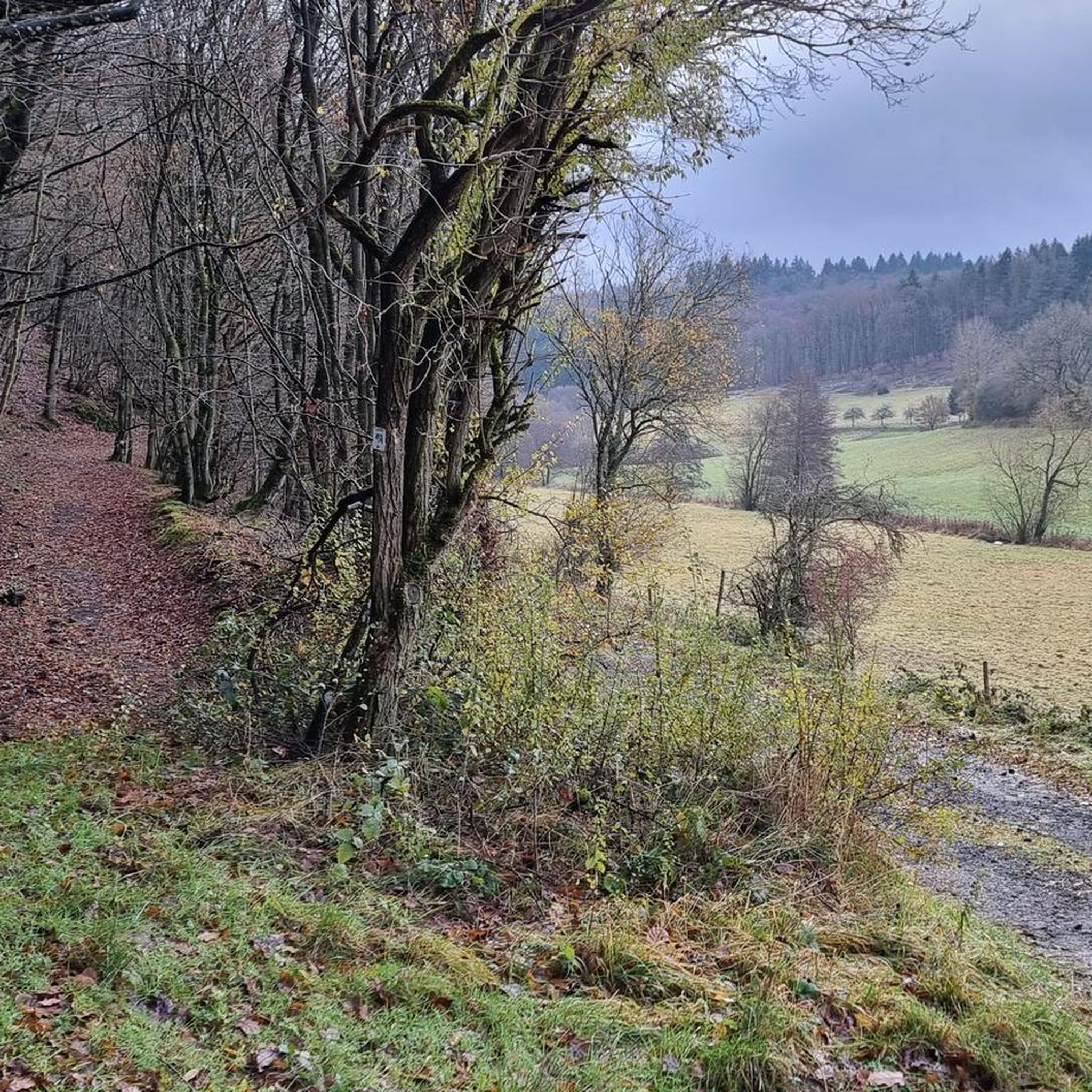
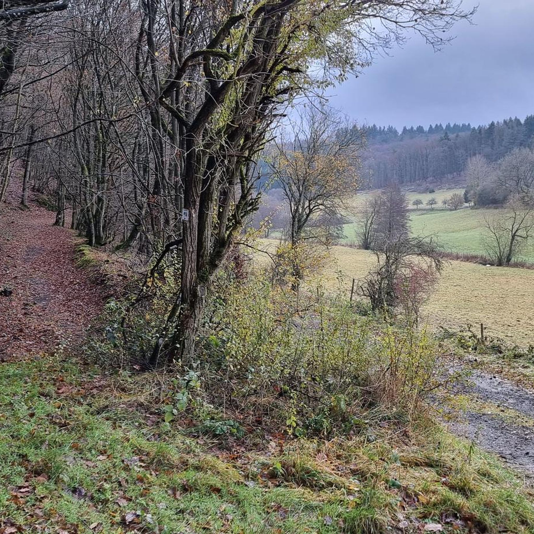
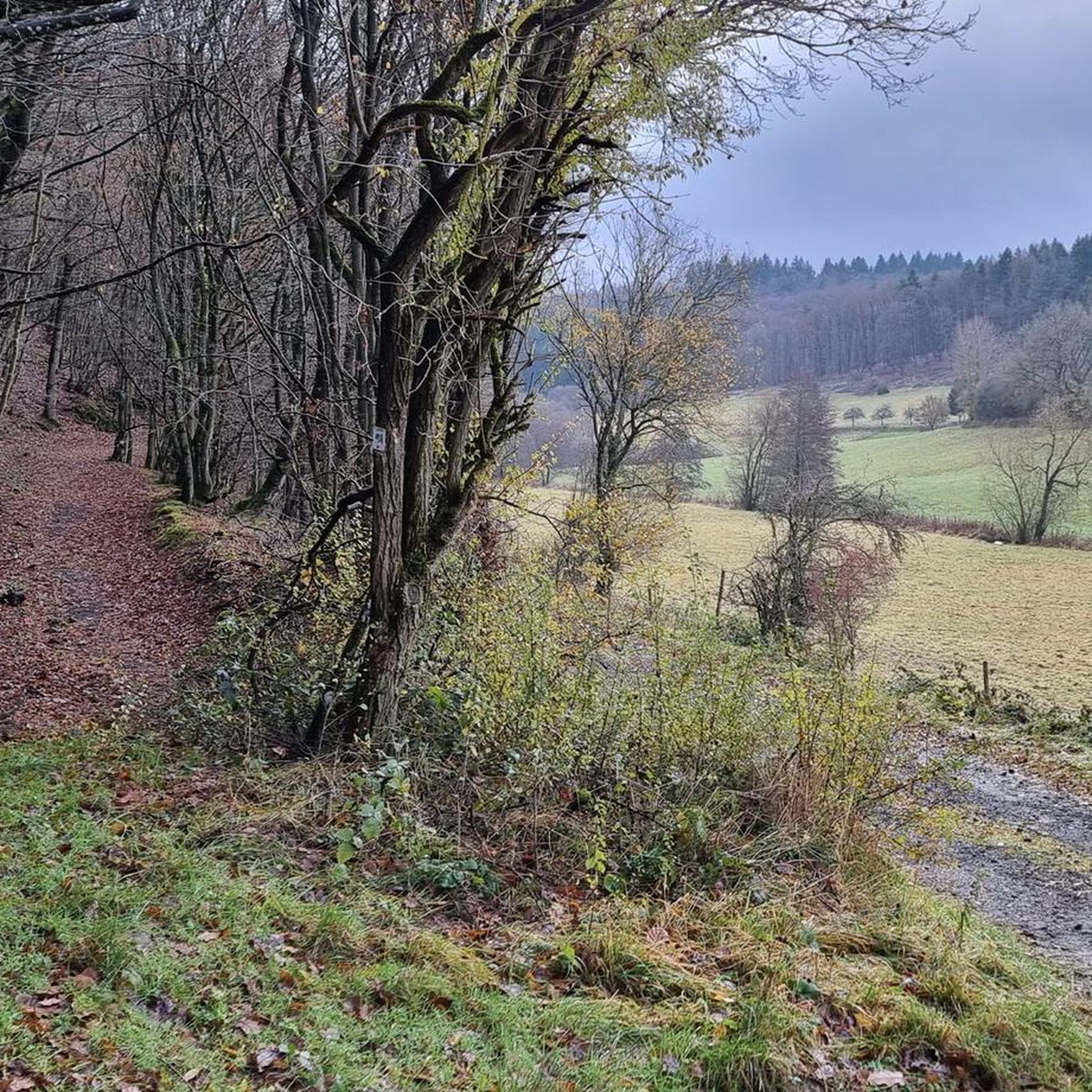
View from Kaltenborn down into the valley

번역: Google

1

0

A beautiful tower with a great view. When it's not foggy😉

번역: Google

13

0

Demanding ascent. Unfortunately in complete fog and without a view 🤷‍♂️

번역: Google

15

0

A beautiful and well maintained tower

번역: Google

12

0

Best view between Cologne and Koblenz

번역: Google

13

0

나흐츠하임 주변에서 가장 인기 있는 경로

나흐츠하임 하이킹

나흐츠하임 주변에서 가장 인기 있는 명소

Places to see

Store rating

komoot 모바일 앱으로 영감을 받아보세요

무료 komoot 계정로 끝없는 야외 모험을 손쉽게 찾고, 맞춤 설정하며 길안내할 수 있어요.

또는

지금 komoot에 가입하세요

Store rating

더 살펴보기

이 가이드를 통해 나흐츠하임 주변의 더 놀라운 정상들을 확인해보세요:

웰셴바흐비르네부르크아르프트키르히발트아크트마옌헤레스바흐히르텐볼크스펠트하우스틴룩셈랑샤이드뭉크지벤바흐니케니히안샤우멘디그안데르나흐투르디체이드코텐하임트림브레이몬레알브로덴바흐발렌다르베르멜크루프트뇌르터스하우젠니더펠로이델스터츠하젠포트옥텐둥니더베르트폴치스파이Wierschem뮌스터마이펠트디블리치발데쉬웰링벤도르프매켄코베른-곤도르프레멘오버펠아이니그케릭뮐하임-칼리히바이터스부르크알켄뢰프필리그나운하임위닝겐콜리그게링멀록바센하임플레이트크레츠

근처 어드벤처 가이드

디체이드 즐길거리

background

새로운 정복을 위한 준비를 하세요

무료로 가입하기

탐험하기
경로경로 플래너기능하이킹MTB 트레일로드 사이클링 경로바이크패킹사이트맵
앱 다운로드
소셜 미디어에서 팔로우하기

© komoot GmbH

개인 정보 보호 정책