Ulgham 최고의 워킹 & 하이킹 경로
4.3
(353)
3,032
등산객
164
하이킹
Komoot에 등록된 Ulgham 내 트레일 및 경로 컬렉션 중에서 하이킹과 워킹을 가장 멋지게 즐길 수 있는 곳을 알려드릴게요. 아래에서 각 경로의 상세 정보를 모두 확인한 후, Ulgham 속 자연에서 즐거운 시간을 누려보세요.
마지막 업데이트: 9월 29, 2026
4.4
(61)
200
등산객
13.4km
03:30
100m
100m
보통 하이킹. 좋은 체력 필요. 실력과 관계없이 누구나 쉽게 갈 수 있는 길.
3.8
(9)
29
등산객
7.96km
02:05
60m
60m
보통 하이킹. 좋은 체력 필요. 실력과 관계없이 누구나 쉽게 갈 수 있는 길.

4.2
(6)
26
등산객
보통 하이킹. 좋은 체력 필요. 실력과 관계없이 누구나 쉽게 갈 수 있는 길.
5.0
(3)
25
등산객
15.6km
04:00
60m
60m
보통 하이킹. 좋은 체력 필요. 실력과 관계없이 누구나 쉽게 갈 수 있는 길.
4.2
(6)
18
등산객
5.90km
01:32
30m
30m
초급용 하이킹. 모든 체력 수준에 적합. 실력과 관계없이 누구나 쉽게 갈 수 있는 길.
더 다양한 경로와 다른 탐험가들의 추천을 살펴보세요.
이미 komoot 계정이 있나요?
투어 추천은 다른 사람들이 komoot에서 완료한 수천 개의 활동을 바탕으로 구성되어 있습니다.
오늘 무료 계정으로 시작하세요
다음 모험이 기다리고 있어요.
Ulgham 주변 인기 장소
커뮤니티 팁

The Bothal Viaduct, also known as Pegswood Viaduct, is one of two railway bridges over the Wansbeck. It was built between 1849 and 1850 to replace the original timber trestle bridge. The footpath passes right under the bridge, allowing you to admire the impressive structure from every angle.
2
0
The shield is part of the remains of a 14th-century chapel known as the Lady Chapel. It's believed to have been constructed by the 1st Baron Ogle Robert, the owner of Bothal Castle.
1
0
Great views along the coast from here. To the north, the horizon is dominated by Lynemouth power station. Just beyond you can make out Coquet Island. To the south, you can see St Bartholomew's Church. This is a great place for wildlife spotting. Keep an eye out for dolphins, whales, porpoises, seals and otters.
0
0

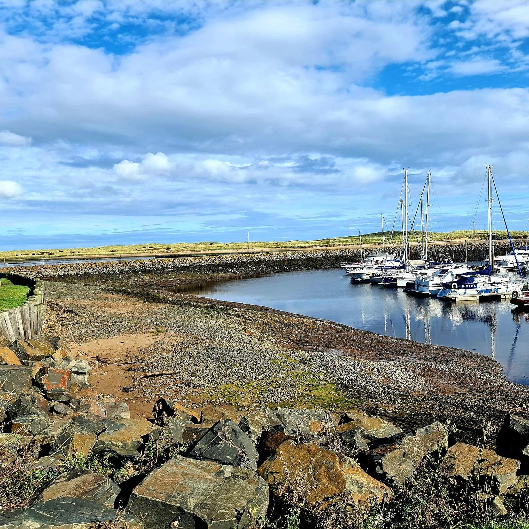
On March 9, 1874, James Brown and his sons were making their way back to Cresswell after a fishing excursion. With land in view, a severe squall overturned their coble, tragically claiming the lives of all four fishermen. In response to this devastating incident, a lifeboat house was constructed and inaugurated on August 21, 1875. Operating until its closure in 1944, the lifeboat house saw 58 launches, rescuing a total of 91 lives.
0
0
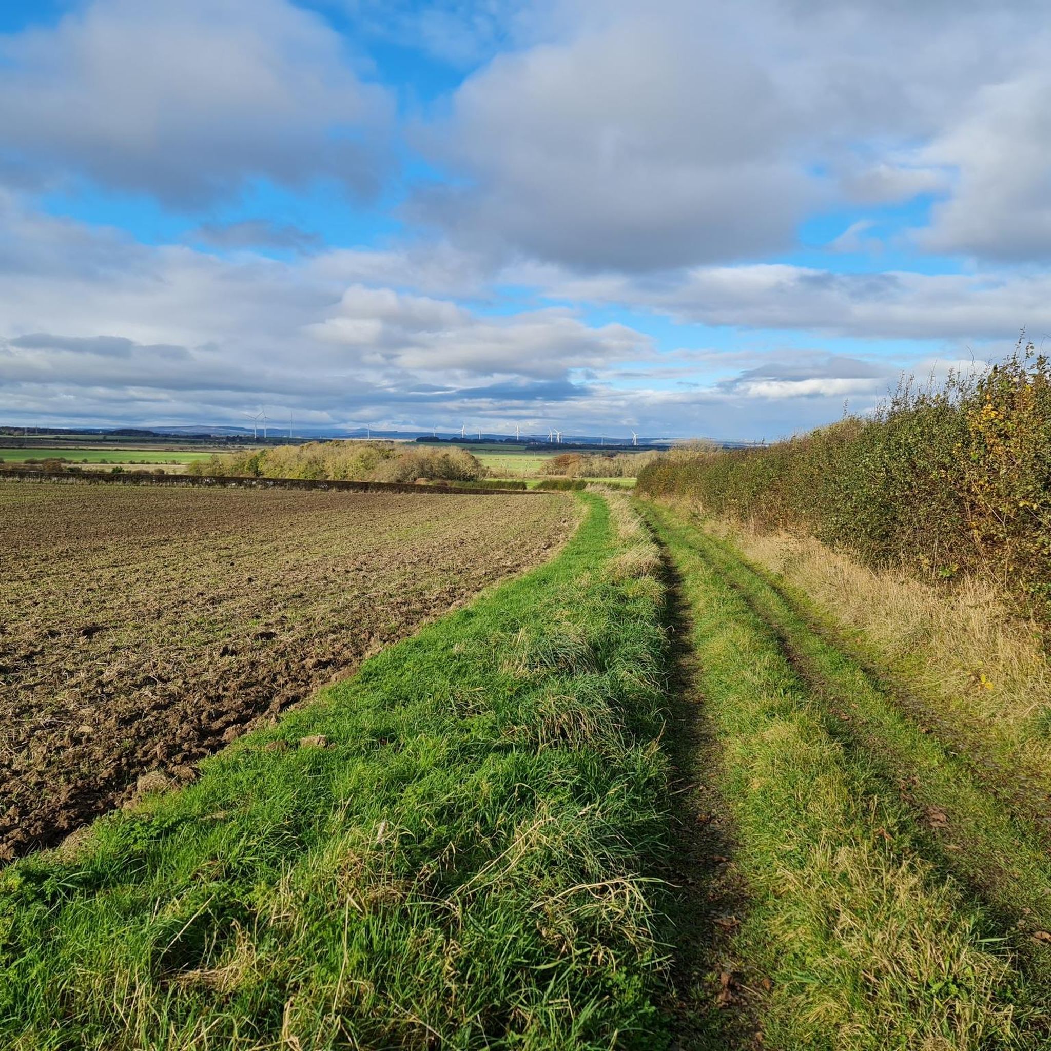
Very muddy after rain, the end as you come to Cresswell ponds floods and you may have to wade to get to the road.
0
0
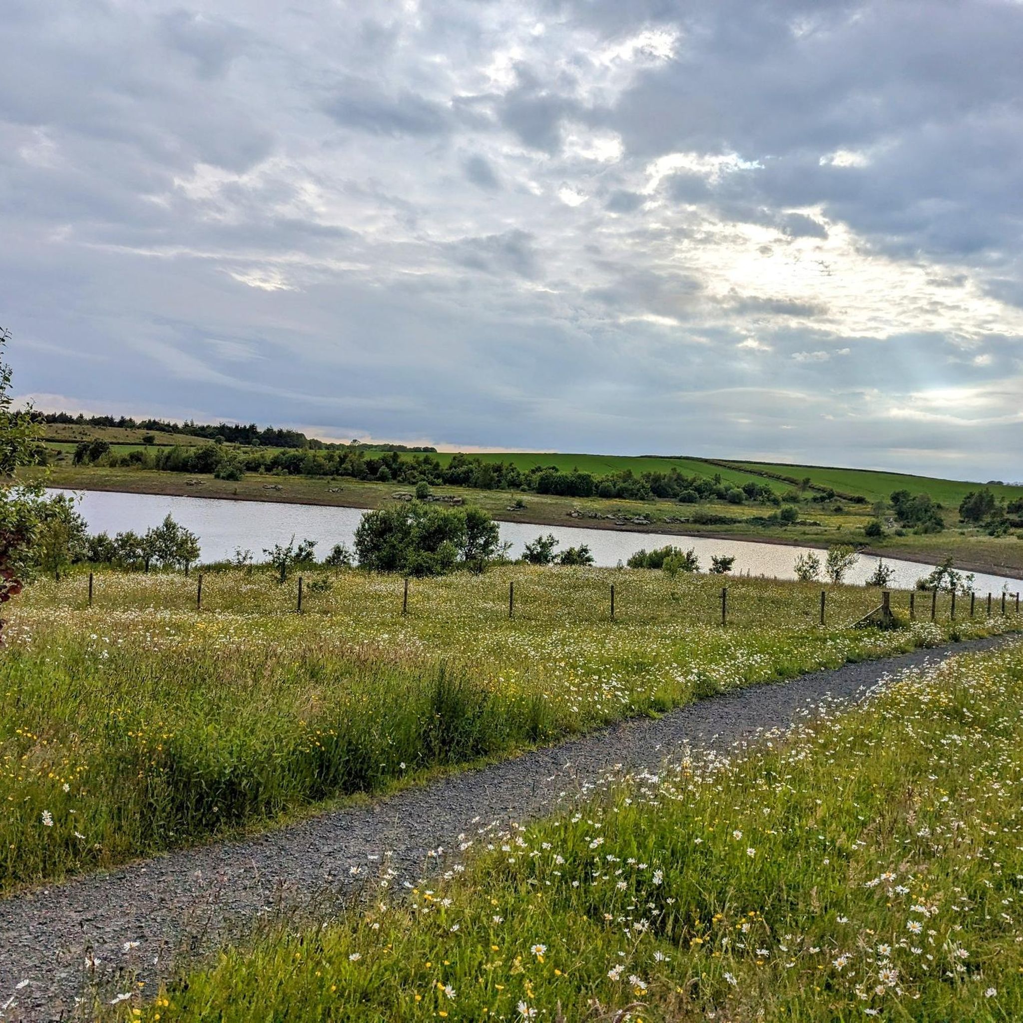
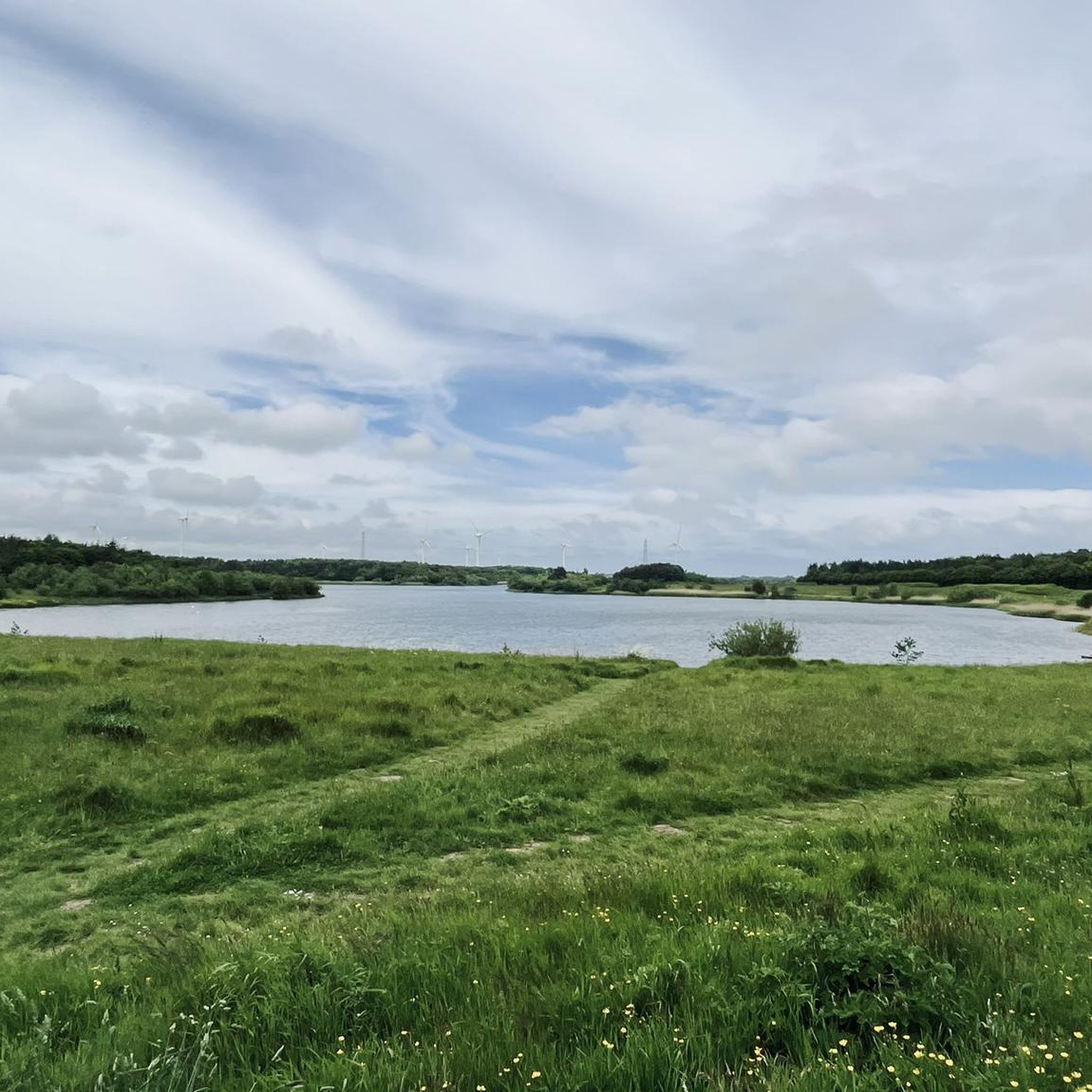
This pond was formed due to subsidence caused by the collapse of old mining works, resulting in a unique brackish water habitat that connects to the sea. This ecological feature makes it an ideal feeding ground for wading birds, particularly during the spring and autumn migrations when rare species are frequently spotted. Notably, avocets nested here in 2011, marking the northernmost location in the UK where they have done so. The pond also serves as a roosting spot for a substantial number of waterfowl, including greylag and pink-footed geese in small numbers.
0
0
Ulgham에서 가장 인기 있는 경로
Ulgham에서 가장 인기 있는 명소


더 살펴보기
다른 지역의 최고의 하이킹를 살펴보세요.
