경로플래너기능업데이트
App
로그인 또는 가입
앱 다운로드
로그인 또는 가입
경로
Places to see
독일
바이에른
스와비아
아우크스부르크

게서르트하우젠

20의 게서르트하우젠가지 명소 & 주요 장소


게서르트하우젠에는 둘러볼 만한 장소가 많답니다. 하이킹 또는 사이클링을 좋아한다면 게서르트하우젠에 숨겨진 20
가지 보석을 만날 수 있을 거예요. 이 지역의 주요 명소를 살펴보면서 다음 모험을 계획해보세요.

마지막 업데이트: 10월 23, 2026

괴깅겐 근처 베르타흐강

하이라이트 • 강

The Wertach flows a little more than 13 kilometers in the Augsburg urban area. This is one of their longest stretches of the river. Unfortunately, in the past, the Wertach …

번역자 Google •

팁에 의해

라이딩 보기휴대폰으로 전송
저장
First stop at the Kulperhütte and then along the Wertach... A wonderful excursion without much effort.

번역자 Google •

팁에 의해

저장

이런 장소를 발견하려면 지금 가입하세요

최고의 싱글 트랙, 봉우리 및 다양한 흥미로운 야외 장소에 대한 추천을 받아보세요.

무료 회원 가입

보빙겐 근처 베어탁슈타우제

하이라이트 • 호수

Hardly any people during the week, the lake with many birds invites you to linger.

번역자 Google •

팁에 의해

저장

슈무터 강 위의 덮개 다리

하이라이트 • 다리

The Weldenradweg offers numerous highlights. One of them is the bridge over the Schmutter with a beautiful view.

번역자 Google •

팁에 의해

저장

안하우저 계곡

하이라이트 • 협곡

The Anhauser Valley is a natural experience during the week. Always happy to come back.

번역자 Google •

팁에 의해

저장

무료로 가입하여 게서르트하우젠 주변의 더 많은 명소를 발견하세요.

무료 회원 가입

이미 komoot 계정이 있나요?

오늘 무료 계정으로 시작하세요

다음 모험이 기다리고 있어요.

로그인 또는 가입하기

게서르트하우젠 주변 인기 장소

바이에른의 국가지정 자연 보호 지역

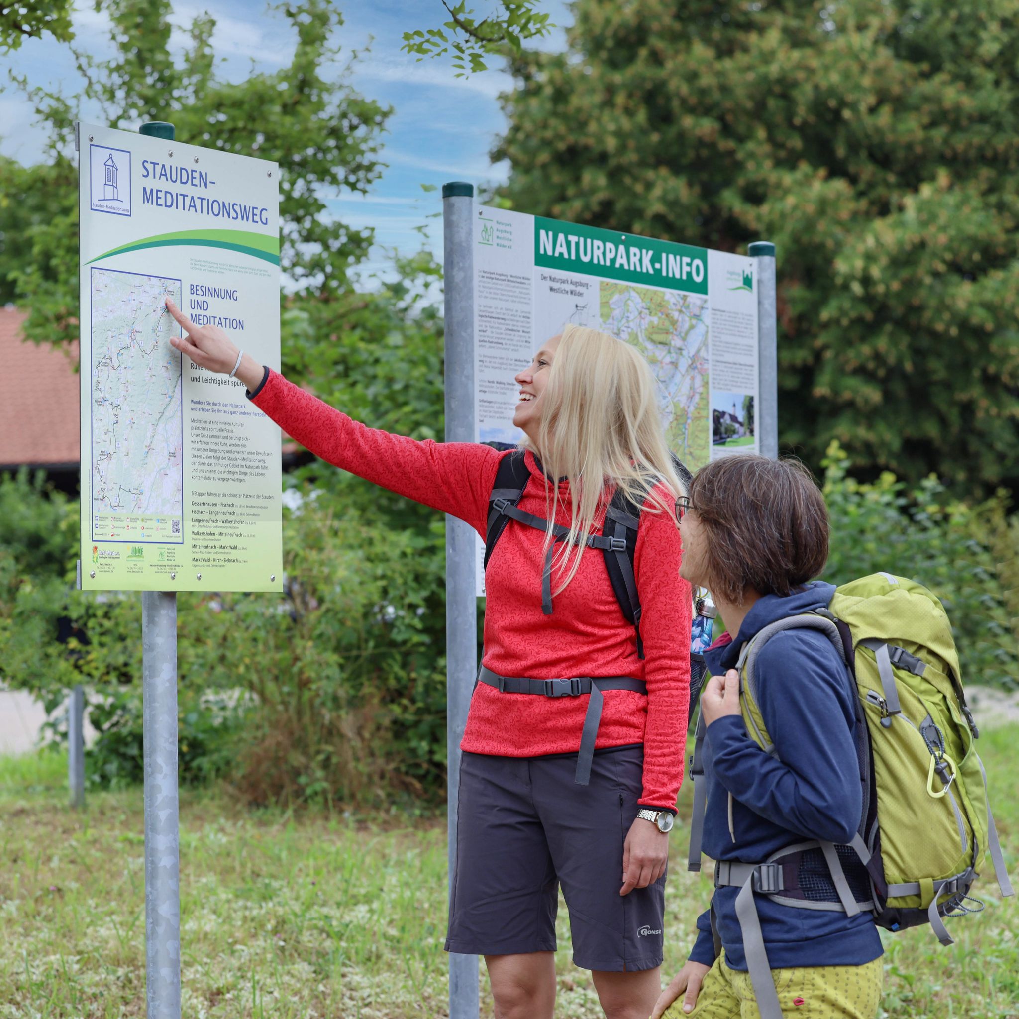
Mindful and meditative walks in Augsburg’s countryside

Stauden-Meditations-Weg – Achtsamkeit im Fokus

게서르트하우젠 하이킹

게서르트하우젠 사이클링

게서르트하우젠 MTB 트레일

게서르트하우젠 로드 사이클링 경로

게서르트하우젠 러닝 트레일

게서르트하우젠 주변 그래블 라이딩

게서르트하우젠 주변의 다른 모험

바이에른의 국가지정 자연 보호 지역

하이킹 컬렉션 에 의해

Nationale Naturlandschaften

커뮤니티 팁

Carsten 🏍🚲
2월 2, 2023, Wertachstausee bei Bobingen

Water paradise and many waterfowl to watch

번역: Google•

6

0

Fantastic nature, highly recommended especially in midsummer, as the tour often runs comfortably cool in the shade.

번역: Google•

8

0

A paradise for waterfowl!

번역: Google•

6

0

Wonderful view with a beautiful circular route. Possibility to change shore

번역: Google•

7

0

Here you can also watch the bird life

번역: Google•

9

0

With a length of 96 km, the Schmutter is a small tributary of the Danube. The Schmutter rises in the Stauden about three kilometers west of Siebnach and flows north through the hills and the Western Forests Nature Park towards the Danube. In Fischach the Schmutter is at the confluence of the Neufnach and Erk "Neufnach and Erk get the Schmutter to work". From Neusäß it runs along the western edge of the Lech Valley. At the lower reaches of it, it flows into the Danube. The mouth of the Schmutter near Donauwörth forms the historical end point of the Via Claudia.

번역: Google•

8

0

Damir
9월 23, 2021, Anhauser Tal

Anhauser Valley is great for cycling or hiking!

번역: Google•

6

0

A very beautiful path that leads from Neusäß via Aystetten

번역: Google•

6

0

게서르트하우젠 주변에서 가장 인기 있는 경로

게서르트하우젠 하이킹

게서르트하우젠 주변에서 가장 인기 있는 명소

Natural Monuments

Store rating

komoot 모바일 앱으로 영감을 받아보세요

무료 komoot 계정로 끝없는 야외 모험을 손쉽게 찾고, 맞춤 설정하며 길안내할 수 있어요.

또는

지금 komoot에 가입하세요
Store rating

더 살펴보기

찾고 있는 하이라이트를 아직 못 찾으셨나요? 다른 지역의 주요 명소 가이드를 확인해보세요:

디도르프노이사스슈타트베르겐호르가우쾨니히스브룬보빙겐게르스토펜가블링겐아이스테텐쿠첸하우젠베링겐그로사이팅겐랑게링겐Trinkwasserschutzgebiet Augsburger Stadtwald오베로트마르하우젠비베르바흐Stadtwald Augsburg클라이나이팅겐아델스리드랑바이드 암 레흐딩켈셰르벤슈바브뮌헨우스터스바흐그라벤헤레츠리드믹하우젠주스마르하우젠웰든에머자커피샤흐힐텐핑겐퀼렌탈미정알텐뮌스터알만쇼펜랑엔네프나흐Haunstetter Wald라우허 숲워커트쇼펜셰르슈테텐마이팅겐티에하우텐베스텐도르프클로스터레흐펠트엘가우미텔노이프나흐슈멜러포스트노르덴도르프지벤티슈발트쿠시볼프자나우아우토반제로스제일제

근처 어드벤처 가이드

라우허 숲 즐길거리

background

새로운 정복을 위한 준비를 하세요

무료로 가입하기
탐험하기
경로경로 플래너기능바우처 사용하이킹MTB 트레일로드 사이클링 경로바이크패킹사이트맵
앱 다운로드
소셜 미디어에서 팔로우하기

© komoot GmbH

개인 정보 보호 정책