그라펜바흐-장크트 발렌틴에서 가장 멋진 20개의 산 정상
그라펜바흐-장크트 발렌틴의 산 정상에 오르면 이 지역의 아름다운 모습을 제대로 구경할 수 있어요. 다만, 20
곳이나 되는 산 정상 중에서 어떤 곳을 가야 할 지 고민된다는 게 문제죠. 그라펜바흐-장크트 발렌틴에서 가장 멋진 산 정상을 살펴본 후에 마음에 드는 산 정상을 다음 모험 계획에 추가해보세요.
마지막 업데이트: 8월 30, 2026

이런 장소를 발견하려면 지금 가입하세요
최고의 싱글 트랙, 봉우리 및 다양한 흥미로운 야외 장소에 대한 추천을 받아보세요.
무료 회원 가입
Gfiederwarte 전망대
하이라이트 • 전망대
번역자 Google •
팁에 의해

Gösing 정상 (898 m)
하이라이트 • 정상
번역자 Google •
팁에 의해


오늘 무료 계정으로 시작하세요
다음 모험이 기다리고 있어요.
로그인 또는 가입하기

커뮤니티 팁

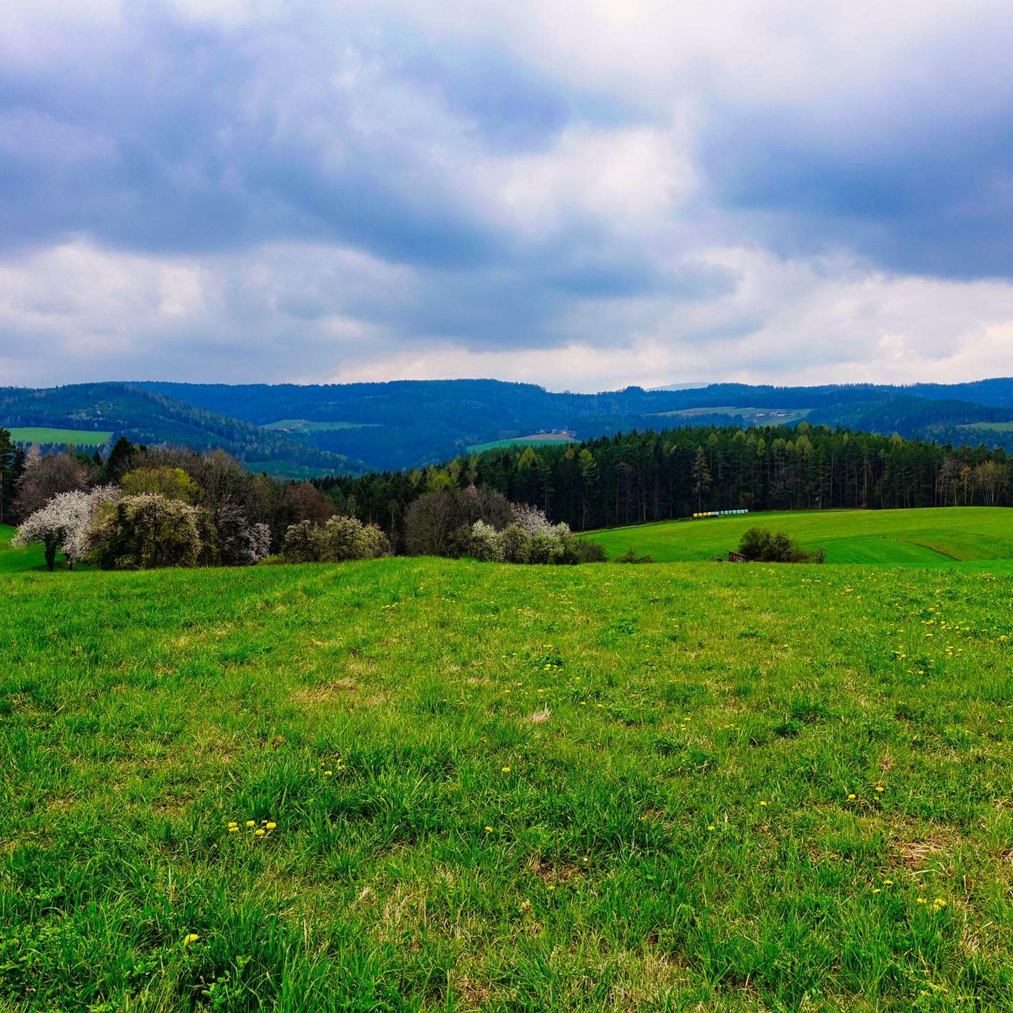
A wonderful viewing platform with magnificent views to the south and east.
0
0

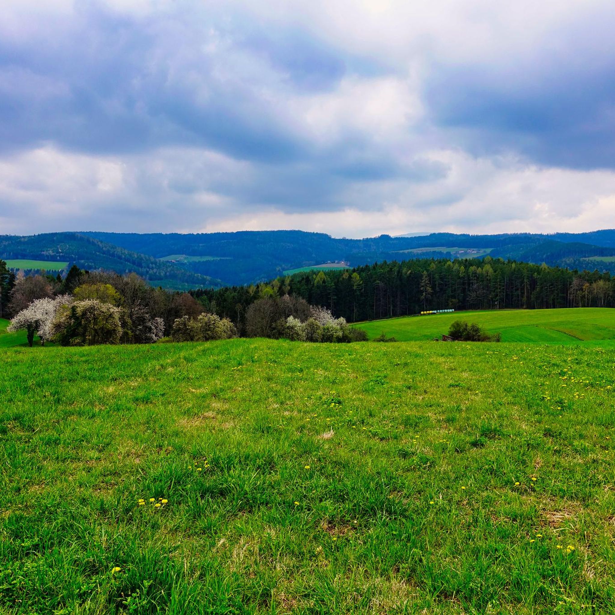
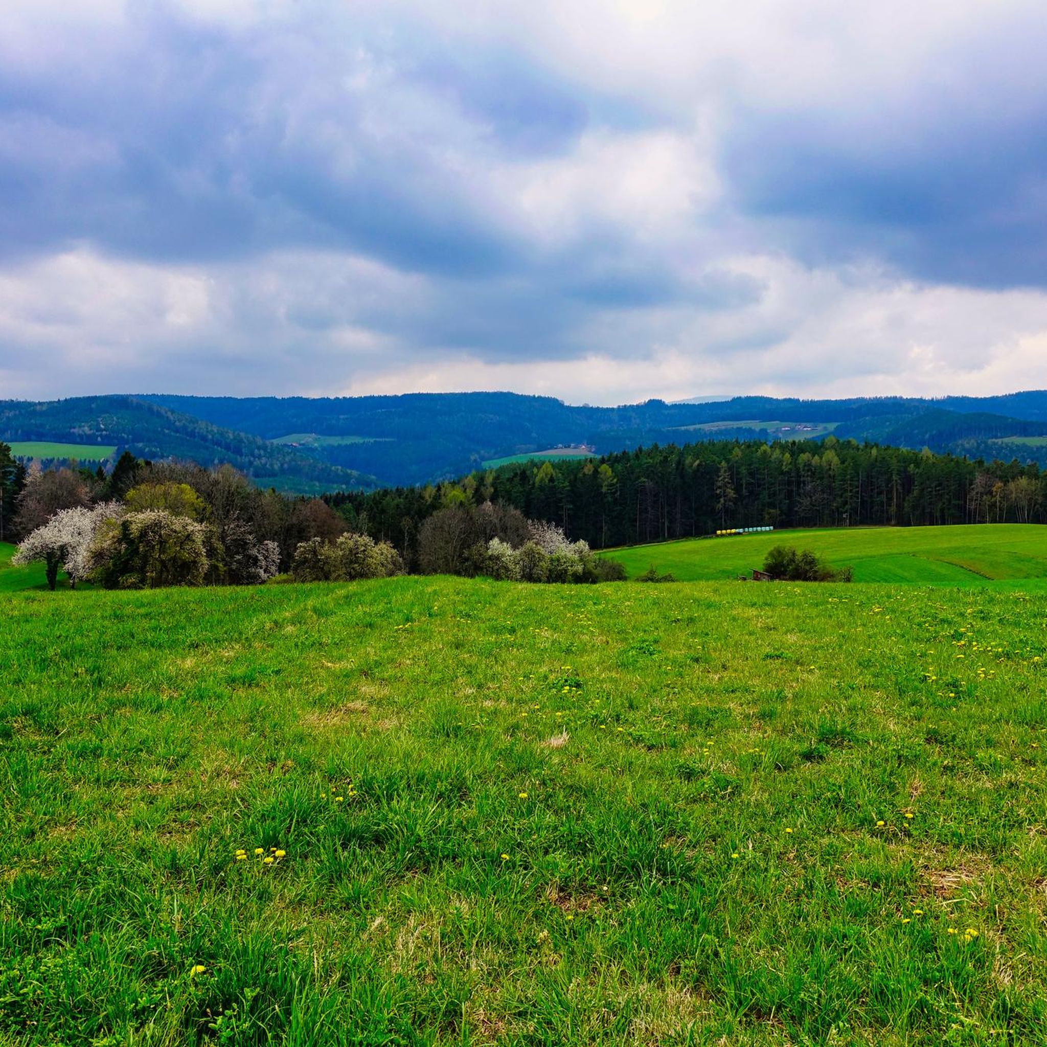
The view from the Gfiederwarte is simply breathtaking. At the top of the Gfiederberg, at an elevation of approximately 600 meters, you'll enjoy an impressive panoramic view of the surrounding countryside. On clear days, the view extends as far as the Vienna Basin, the foothills of the Alps, and sometimes even as far as the Schneeberg. The wooden lookout itself is easily accessible and invites you to take a short break, breathe deeply, and enjoy the tranquility of nature. A true highlight of any hike in the region!
1
0
The Gfiederwarte is a wooden observation tower on the Gfiederberg near Ternitz and a popular destination for hikers and nature lovers. After a short but rewarding climb, the tower rewards you with a magnificent panoramic view of the Schwarza Valley, the Vienna Basin, and, on clear days, even the Alps. The platform is solidly built and easily accessible – perfect for a rest with a panoramic view. It's an ideal place to pause and enjoy the beauty of the landscape.
6
0

The Große Otter is accessible to anyone with average fitness via paths that are not very technically demanding and offers a wonderful panoramic view from the summit.
0
0


... it's rare that there's a summit cross on a hill ;-)
0
0
Near the summit of Gösing, a shady picnic table invites you to take a leisurely rest. Surrounded by peaceful forest, this spot is ideal for a restorative break after the climb. The large table and bench offer ample space to comfortably rest or enjoy a light snack—perfect for hiking groups or families. Although there is no direct view from here, the spot scores points for its tranquility and pleasant atmosphere. Just a few minutes further, a viewing bench awaits with panoramic views and a summit book.
5
0
The Gösing, 898 meters high, lies northwest of Ternitz at the entrance to the Sierningtal Nature Park in the Gutenstein Alps. The summit is a quiet, shady spot with a beautiful summit cross and several rest areas, including two tables with benches – ideal for a relaxing break. While the summit itself doesn't offer a panoramic view, just a few minutes away is a viewing bench with a sweeping view and a summit book. Also nearby is the Neunkirchner Hütte, which is open year-round on weekends. The ascent to the Gösing can be easy or more challenging, depending on the route chosen; some trails include short climbing sections and beautiful views of the Schwarzatal Valley and the Schneeberg.
6
0
그라펜바흐-장크트 발렌틴 주변에서 가장 인기 있는 명소


더 살펴보기
이 가이드를 통해 그라펜바흐-장크트 발렌틴 주변의 더 놀라운 정상들을 확인해보세요:
