경로

플래너

기능

업데이트

App

로그인 또는 가입

앱 다운로드

로그인 또는 가입

경로
Places to see
Mountain passes
오스트리아
몬타폰

장크트 제롤드

장크트 제롤드‬에서 가장 멋진 ‪16‬개의 산길

장크트 제롤드에서 가장 멋진 산길을 아래에서 살펴보세요. 풍경을 감상하기에도 좋고, 오르막길/내리막길을 따라 걷기에도 좋은 곳이랍니다. 커뮤니티가 특별 도움을 통해 공유한 콘텐츠인 만큼 믿을 수 있는 정보이니 마음에 드는 산길이 있다면 바로 다음 모험 계획에 추가해서 바로 방문해보세요.

마지막 업데이트: 7월 10, 2026

티펜제자텔

하이라이트 • 산악 고개

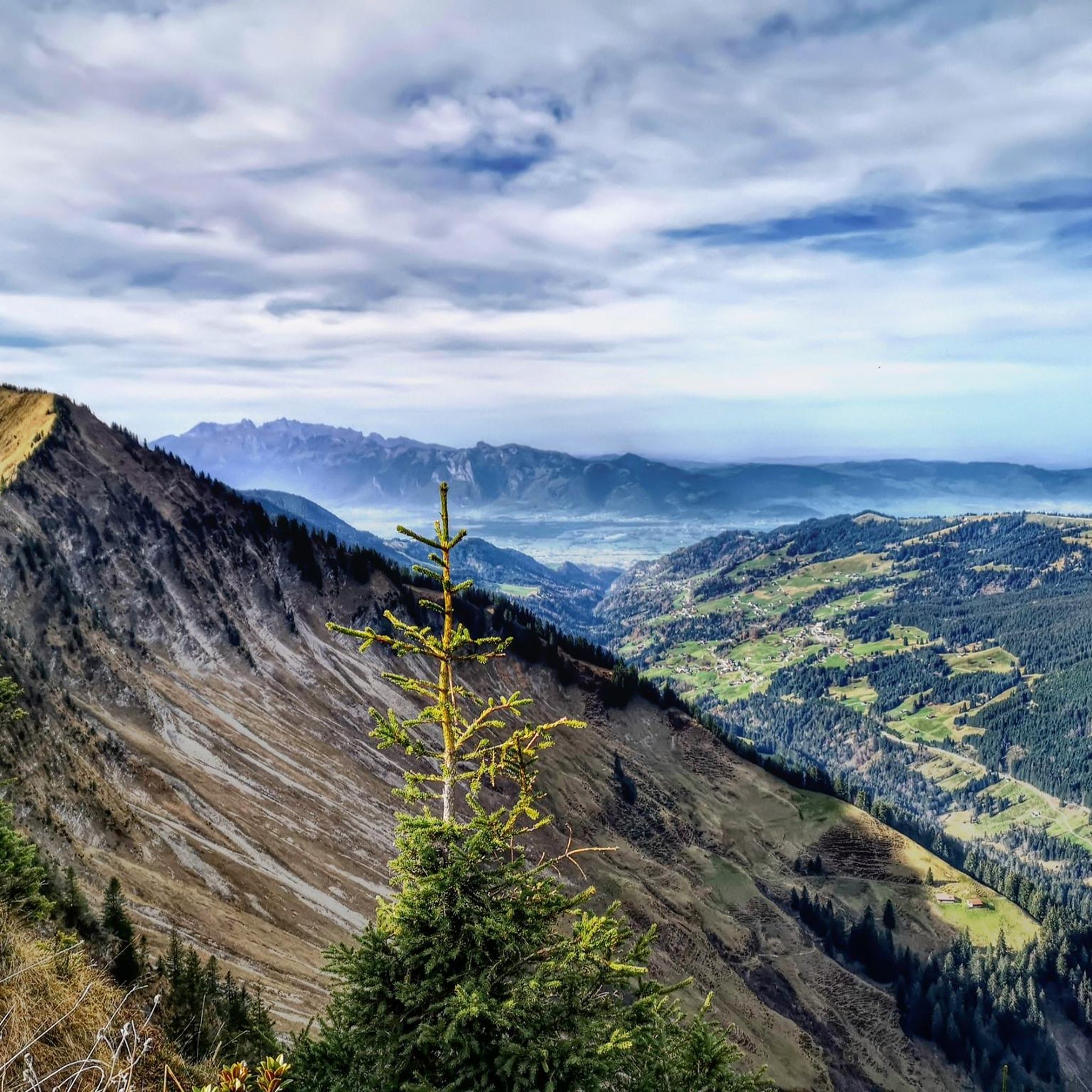
From here you have a wonderful view of a beautiful mountain panorama and many path options.

번역자 Google •

에 의해

하이킹 보기

휴대폰으로 전송

저장

쥰서 요흐

하이라이트 • 산악 고개

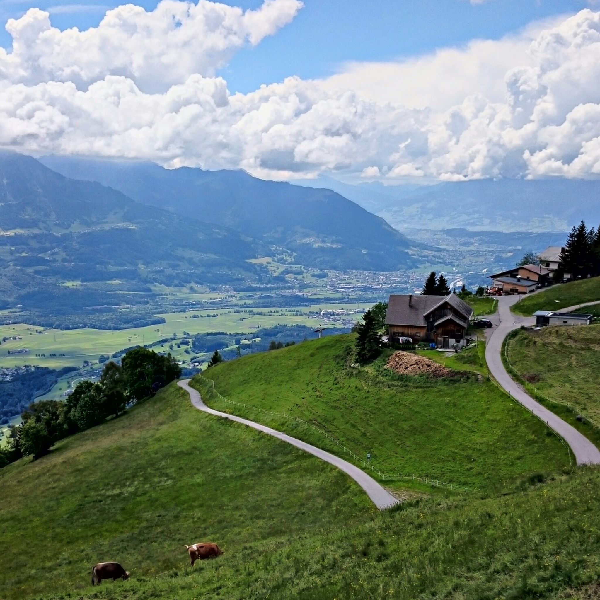
Located between Sünser Spitze and Portlahorn, you have a great view of the "Seven Hills" from here

번역자 Google •

에 의해

저장

이런 장소를 발견하려면 지금 가입하세요

최고의 싱글 트랙, 봉우리 및 다양한 흥미로운 야외 장소에 대한 추천을 받아보세요.

무료 회원 가입

Klamparasättle

하이라이트 • 산악 고개

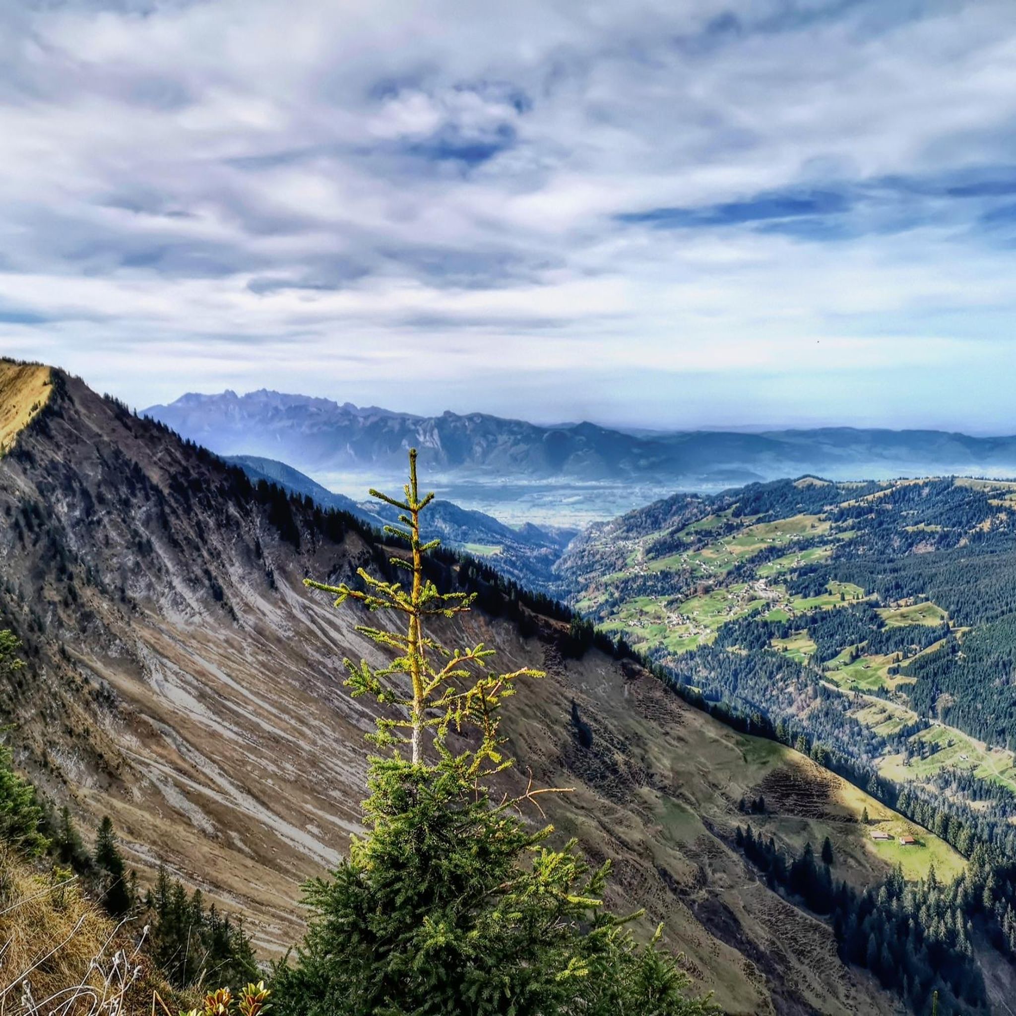
the turnoff to the lunar tip

번역자 Google •

에 의해

저장

파스키나요흐 고개 (1486m)

하이라이트 • 산악 고개

Passo Faschina 1486 m
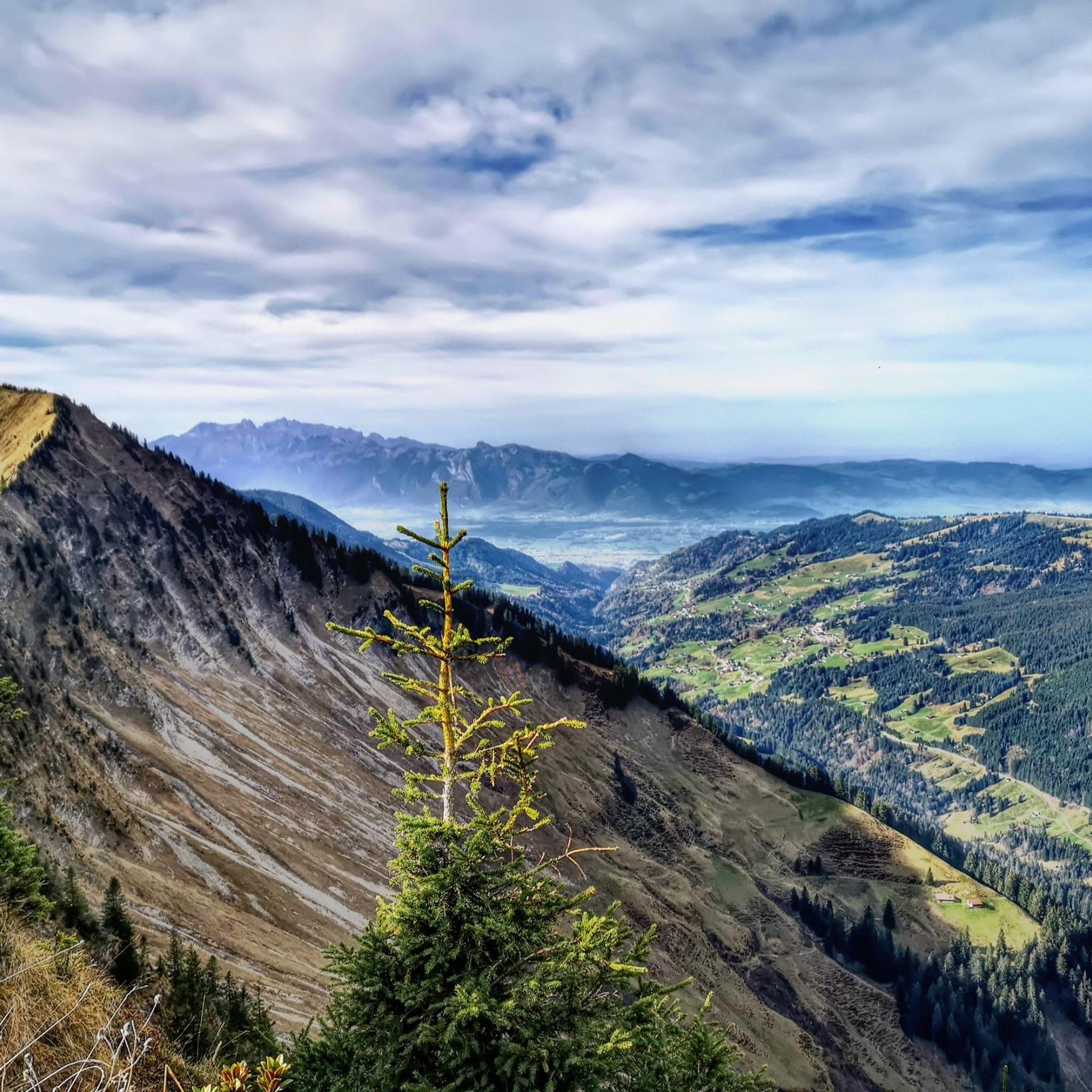
The Faschinajoch is a mountain pass in the Alps (Eastern Alps, Northern Limestone Alps) at 1486 m above sea level. It connects the valley of the …

번역자 Google •

에 의해

저장

Very nice summit, which also demands something. The climb is definitely worth it.

번역자 Google •

에 의해

저장

무료로 가입하여 장크트 제롤드 주변의 더 많은 산악 고개를 발견하세요.

무료 회원 가입

이미 komoot 계정이 있나요?

오늘 무료 계정으로 시작하세요

다음 모험이 기다리고 있어요.
로그인 또는 가입하기

장크트 제롤드 주변 인기 장소

장크트 제롤드 로드 사이클링 경로

장크트 제롤드 MTB 트레일

장크트 제롤드 주변 그래블 라이딩

장크트 제롤드 사이클링

장크트 제롤드 하이킹

장크트 제롤드 등산

장크트 제롤드 러닝 트레일

커뮤니티 팁

Thomas Längle
12월 21, 2025, Tiefenseesattel

Transition from the Walgau to the large Walsertal valley. Waypoint between Hoher Fraßen (Rapenschrofenweg) to the west, Breithorn and Els Alpe to the east.

번역: Google

0

0

And then it lies down there like a forgotten eye of the landscape: Lake Süns. Dark and round, framed by undulating meadows where summer dwells. No noise, no boats, no paths that claim to lead to the shore. The lake simply looks back – as if you yourself were the stranger in a story that has been told here for much longer. Whoever reaches the pass stands on a line between worlds. Behind you is the lake, in front of you the path to the peak – and to the side, the view stretches far down, where the Rhine Valley disappears. On a clear day, some say you can see Lake Constance. I think you see yourself above all – smaller, but also lighter than you thought. It's not the grand gestures that characterize this hike. It's the way the light clings to the slopes, the way the wind accompanies the path, the way the trail doesn't lead you but invites you. And anyone standing up there—between the Ragazer Grat, the Sünser Joch, and the dark blue of the small lake—may notice: The most beautiful places don't scream. They whisper.

번역: Google

1

0

Destination of the hiking trail. To the right to the mountain station, Elsenkopfalpe and further to the swing. To the left to the lake circular trail and to the Mittagsspitze.

번역: Google

0

0

From here you can walk to the top of the moon (45 min.)

번역: Google

0

1

Hunter
3월 12, 2024, Tiefenseesattel

You definitely won't be lacking in places to take a break on your hike. Since summer 2022 there has been a new alpine hut directly on the Tiefenseesattel https://clusterrush.io

번역: Google

0

0

The alp was reopened in 2022 and now invites you to take a relaxing break.

번역: Google

0

0

The Damülser Mittagsspitze is 2095 m above sea level. A. high mountain in the Bregenzerwald Mountains in the Austrian state of Vorarlberg. It is the highest elevation in the municipality of Damüls and the main peak of the Damüls Mountains. The original name of this mountain was Trista. It got its current name from the residents of Mellau because, from their perspective, the mountain is in the south, i.e. in "midday". Source: Wikipedia

번역: Google

0

1

The panoramic trail is simply wonderful!

번역: Google

0

0

장크트 제롤드 주변에서 가장 인기 있는 경로

장크트 제롤드 로드 사이클링 경로

장크트 제롤드 주변에서 가장 인기 있는 명소

Natural Monuments

Store rating

komoot 모바일 앱으로 영감을 받아보세요

무료 komoot 계정로 끝없는 야외 모험을 손쉽게 찾고, 맞춤 설정하며 길안내할 수 있어요.

또는

지금 komoot에 가입하세요

Store rating

더 살펴보기

이 가이드를 통해 더 많은 장대한 산악 통과를 확인해보세요 장크트 제롤드 주변:

반단스레흐챠군가슈른오버레흐장크트 갈렌키르히손탁달라스넨징가겔렌슈룬스로룬스클로스털레뷔르스바르톨로마베르그뷔르저베르그파르테넨장크트 안톤 임 몬타폰Nüziders실버탈폰타넬라라갈이너브라즈파스키나블론즈루데쉬튀링거베르크스탈레르블루데쉬Geschützter Landschaftsteil Rellstal Und LünerseegebietEuropaschutzgebiet Verwall

근처 어드벤처 가이드

튀링거베르크 즐길거리

background

새로운 정복을 위한 준비를 하세요

무료로 가입하기

탐험하기
경로경로 플래너기능하이킹MTB 트레일로드 사이클링 경로바이크패킹사이트맵
앱 다운로드
소셜 미디어에서 팔로우하기

© komoot GmbH

개인 정보 보호 정책