파이도 최고의 워킹 & 하이킹 경로
4.7
(290)
1,887
등산객
75
하이킹
정확한 경로를 찾는 것이 때로는 어렵지만 파이도에서 하이킹을 하면 다양한 경치를 마음껏 감상할 수 있답니다. 파이도에서 가장 멋진 하이킹과 워킹 중에서 마음에 드는 활동을 시작해보세요.
마지막 업데이트: 10월 10, 2026
4.9
(12)
97
등산객
11.1km
04:37
680m
680m
보통 하이킹. 좋은 체력 필요. 대부분 갈 수 있는 길. 미끄러지지 않게 조심해야 함.
3.8
(5)
36
등산객
8.21km
02:26
220m
220m
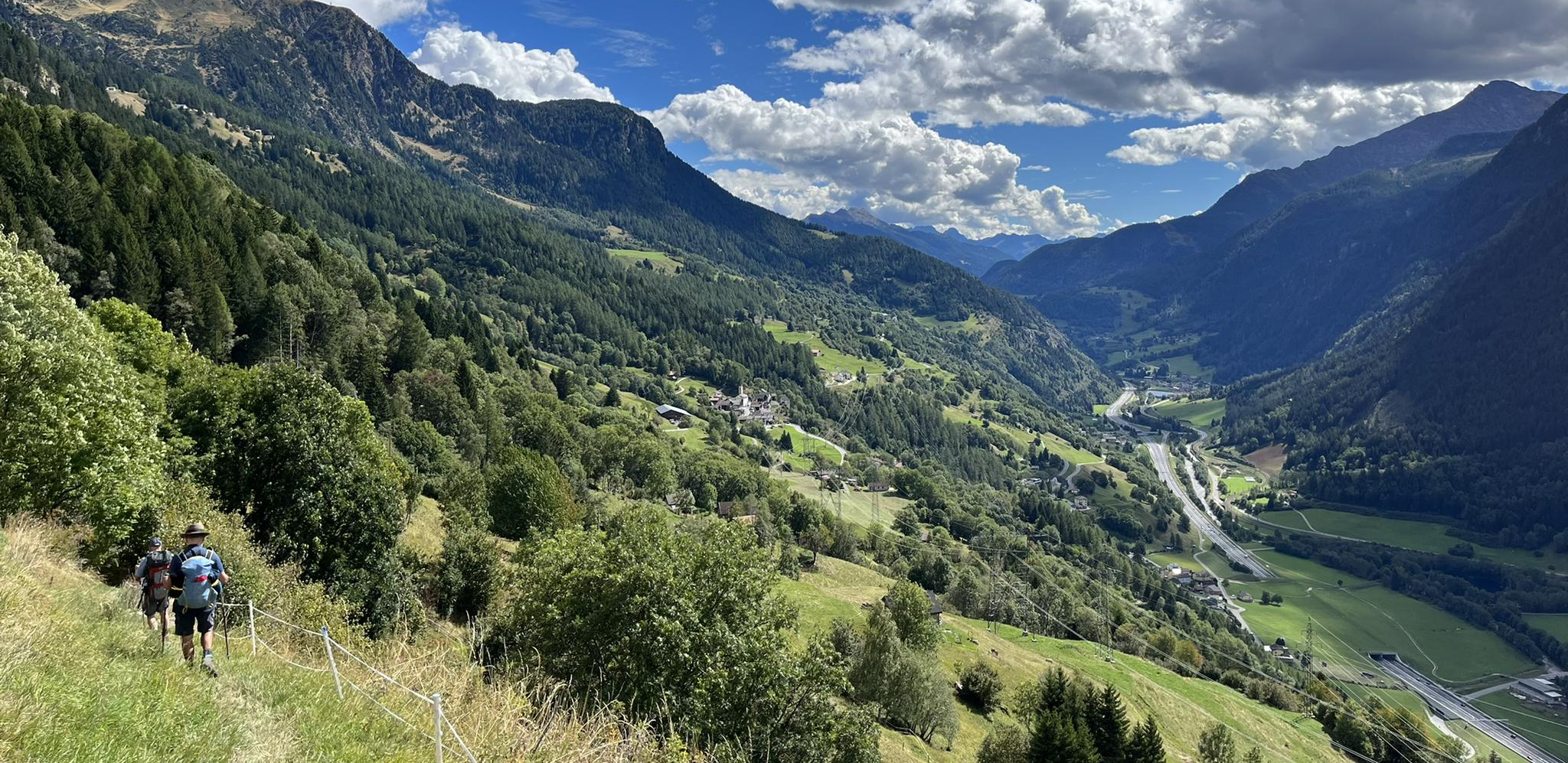
Hike the moderate 5.1-mile Strada Bassa and ViaGottardo Loop, featuring waterfalls, historic sites, and scenic valley views in Val Leventina

4.7
(3)
71
등산객
7.57km
02:35
400m
400m
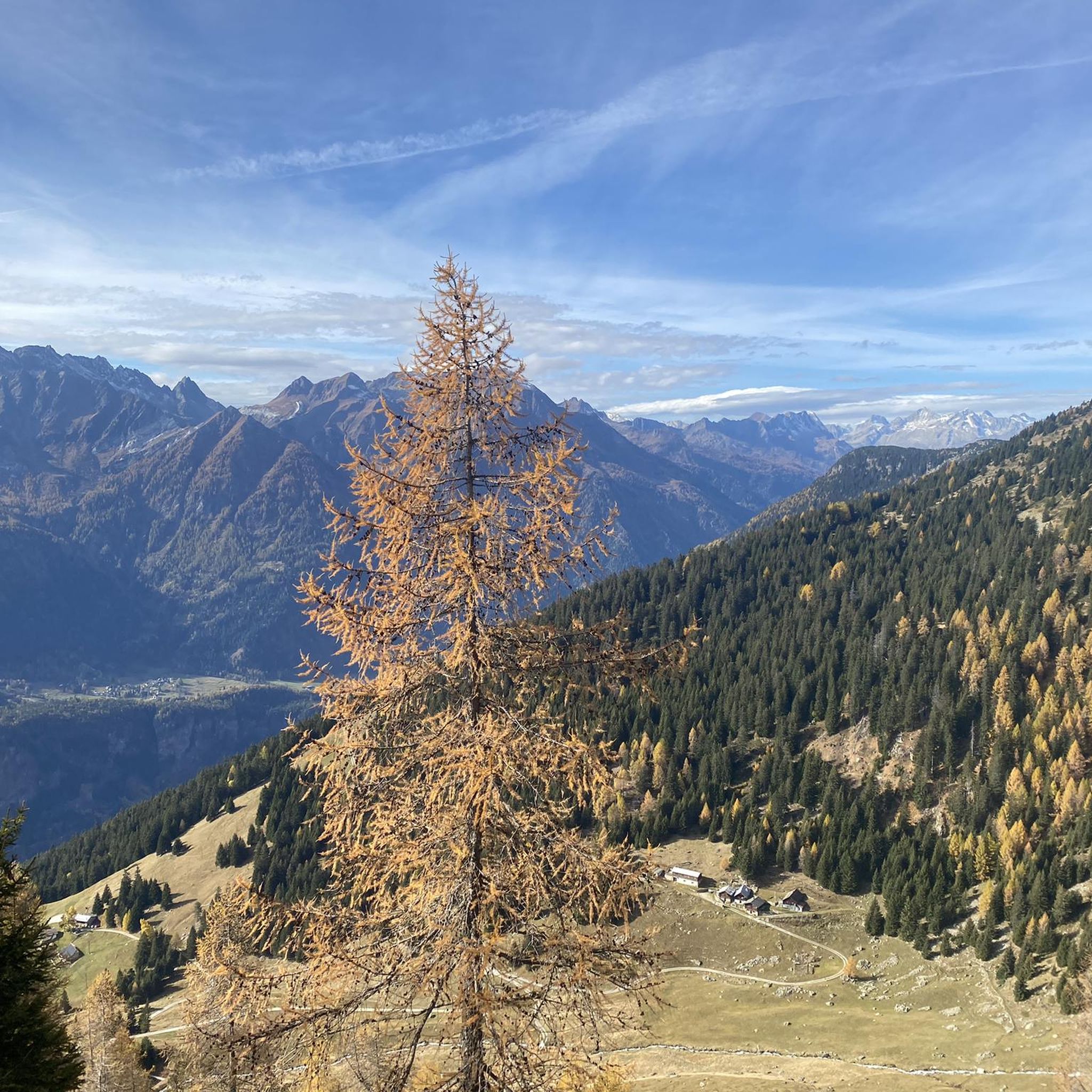
Hike the moderate 4.7-mile Sentiero del Montanaro loop near Carì, offering alpine views and passing through larch and pine forests.
4.8
(9)
30
등산객
6.17km
02:00
270m
270m
초급용 하이킹. 모든 체력 수준에 적합. 실력과 관계없이 누구나 쉽게 갈 수 있는 길.
4.7
(6)
55
등산객
11.3km
04:04
680m
680m
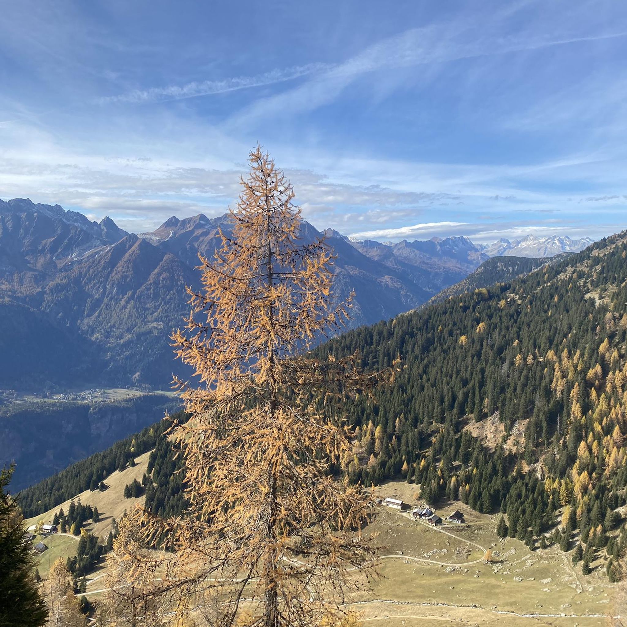
Hike the moderate La Capanna Gana Rossa and Lago di Carì loop, featuring alpine views, a mountain hut, and the scenic Lago di Carì.
더 다양한 경로와 다른 탐험가들의 추천을 살펴보세요.
이미 komoot 계정이 있나요?
투어 추천은 다른 사람들이 komoot에서 완료한 수천 개의 활동을 바탕으로 구성되어 있습니다.


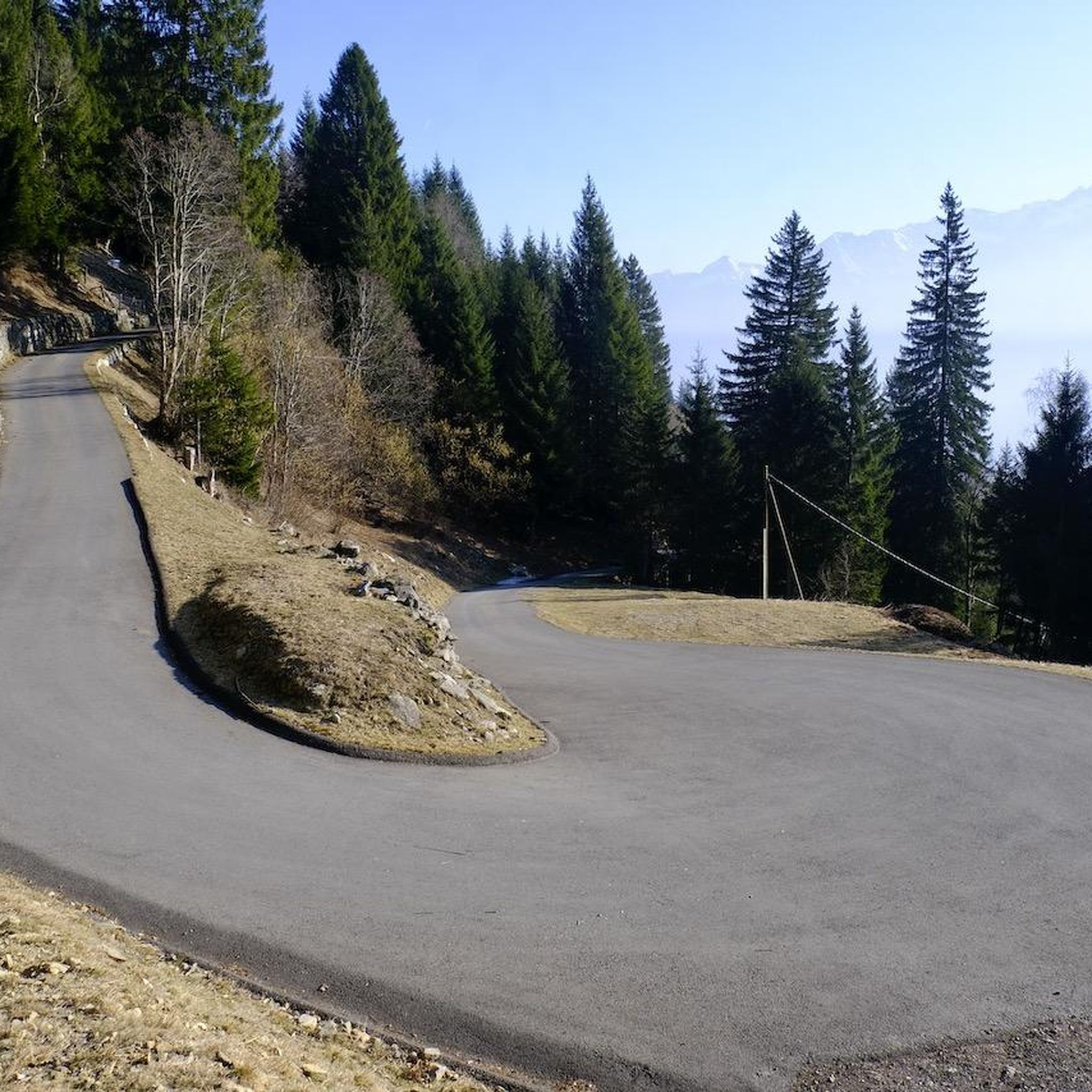
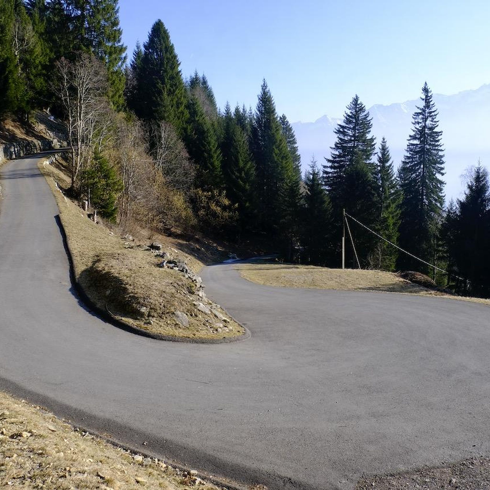


커뮤니티 팁

폭포 아래 분지에서 수영을 할 수 있습니다. 5월 말에는 물이 꽤 차가웠지만, 한여름에는 멋질 것입니다. 폭포와 티치노 강 사이에 여러 그릴이 있는 아름다운 공원 지역이 있어 머물기에 이상적입니다.
0
0


Pian Selva is a town in the Canton of Ticino, located at 1100 meters above sea level, surrounded by woods and waterfalls. It can be reached with a panoramic cable car from Faido, where the departure station is located.
0
0
The Capanna Gana Rossa is an alpine refuge in the Canton of Ticino, at 2270 meters above sea level. It is open all year round, there is a dormitory with 12 beds, the possibility of cooking and a lighting system with solar panels. It is possible to reach it from various paths and go on excursions to the Mottella lakes or to the nearby peaks.
1
0
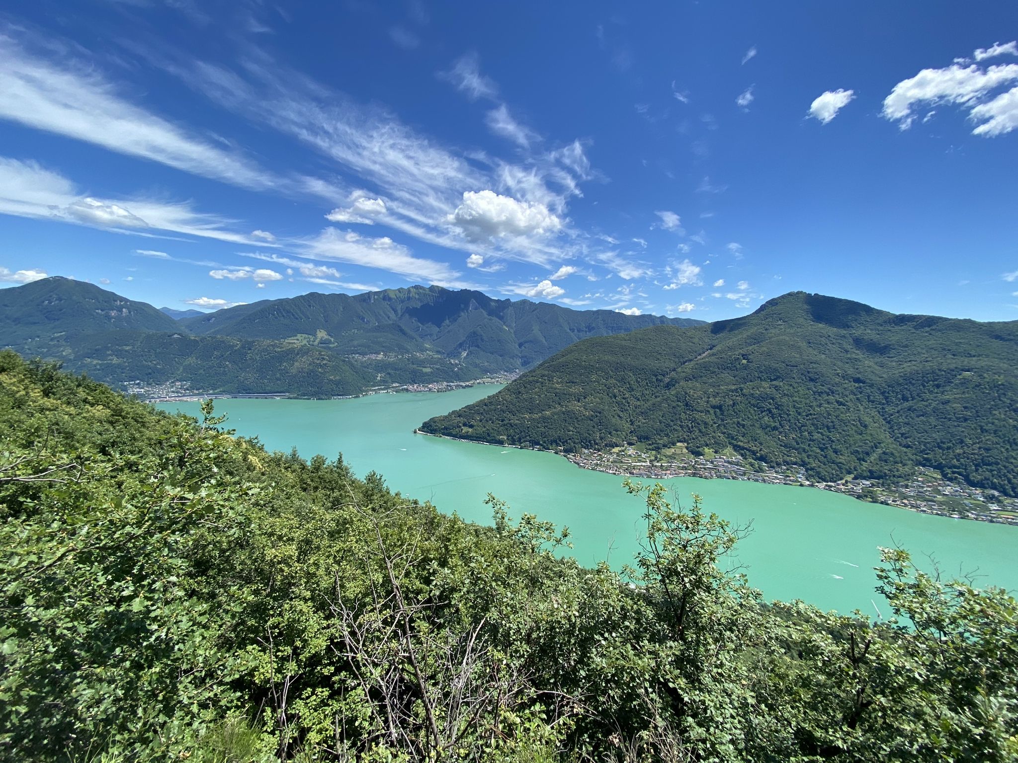
Lake Carì is an alpine lake located at 2255 meters above sea level in the Canton of Ticino, above the town of Faido in the Leventina Valley. It is surrounded by a picturesque mountain landscape, and there is a winter ski resort with ski slopes, sledding and snowshoeing.
0
0
The Sentiero del Montanaro is a hiking route inaugurated in 2020 that connects Carì and Brusada, to the cable car station and the Osteria Belvedere at 2000 meters above sea level. Along the path you can admire the panorama of the Swiss Alps and the local flora and fauna, thanks to educational signs.
0
0


