파이도 최고의 등산 경로
4.5
(3)
22
등산객
3
하이킹
파이도에서 하이킹하며 레벤티나 구석 부분까지 살펴볼까요? 파이도에 있는 모든 하이킹 및 워킹 경로 컬렉션 중 가장 멋진 하이킹 경로를 엄선하여 소개해드릴게요. 다른 하이커가 공유한 실제 팁과 사진을 살펴보고 후기를 읽으며 마음에 드는 파이도 워킹 경로를 찾아보세요.
마지막 업데이트: 8월 21, 2026
4.0
(2)
11
등산객
11.7km
05:04
750m
750m
어려운 등산 코스. 우수한 체력 필요. 튼튼한 신발을 신고 미끄러지지 않게 조심해야 하며, 높은 산을 오른 경험이 있어야 함.
5
등산객
8.28km
03:29
480m
490m
어려운 등산 코스. 좋은 체력 필요. 튼튼한 신발을 신고 미끄러지지 않게 조심해야 하며, 높은 산을 오른 경험이 있어야 함.

무료 회원 가입
5.0
(1)
6
등산객
20.0km
06:08
650m
650m
어려운 등산 코스. 우수한 체력 필요. 실력과 관계없이 누구나 쉽게 갈 수 있는 길.
투어 추천은 다른 사람들이 komoot에서 완료한 수천 개의 활동을 바탕으로 구성되어 있습니다.




커뮤니티 팁


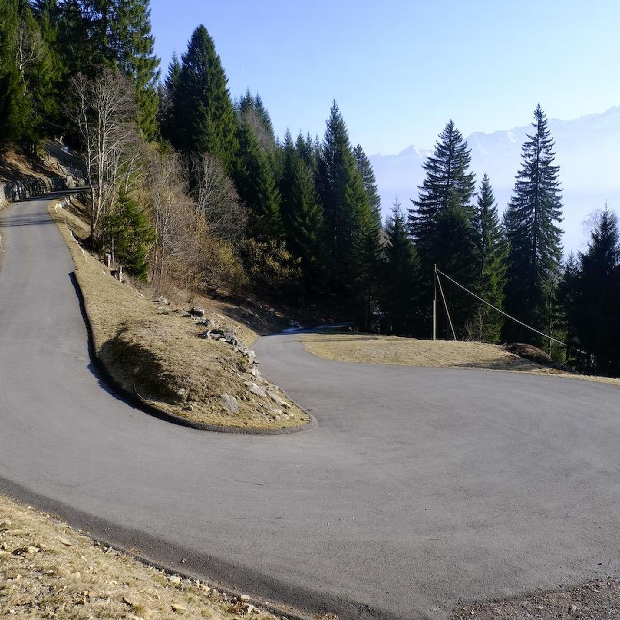
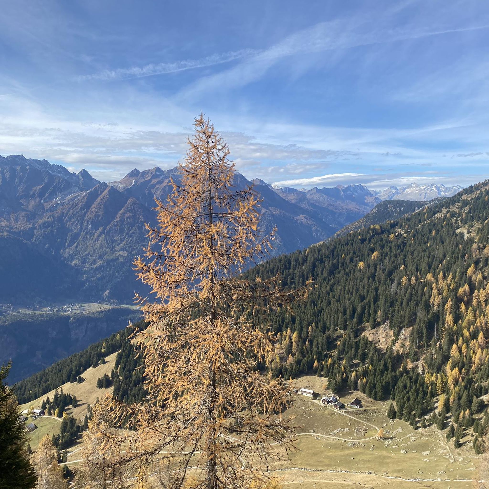
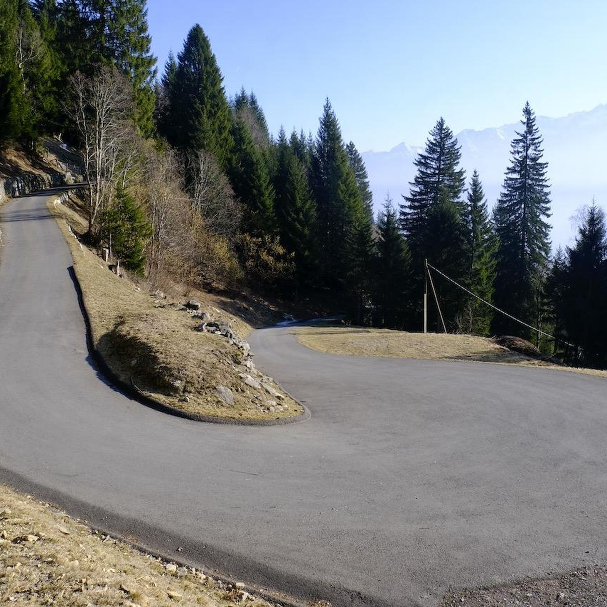
Scenic pass that is opened all year round (closes at 6pm in winter). There is hardly any traffic which makes cycling very nice and plenty of opportunities to take pictures. We crossed the pass in early May when there was still plenty of snow up there. The change in scenery where it was all green at Disentis and slowly turning white as we climbed higher... and very quickly turned to green as we rolled down on the south side to Biasca was breathtaking.
1
1

The Lucomagno is one of the most famous Alpine passes in Switzerland. It is located between the cantons of Ticino and Grisons, at an altitude of 1,926 meters. The name seems to derive from the Latin "locus magnus", meaning "large, open place". It is often tackled in the professional race of the Tour of Switzerland.
3
0

We - over-60s with good mountain skills - descended from the Cabanna Cadlimo through the Val Cadlimo to the Lukmanier Pass. The common description that the route is mostly on easy-to-walk paths is a dangerous understatement. It goes over long stretches over boulder fields, which require very good surefootedness and balance. Then down over some smooth rock ledges, which are secured with chains. So it's not all that easy!
1
0

Take the cable car to Alp di Pesciüm and then hike to Lago di Leit. Approx. 5 hours.
0
1

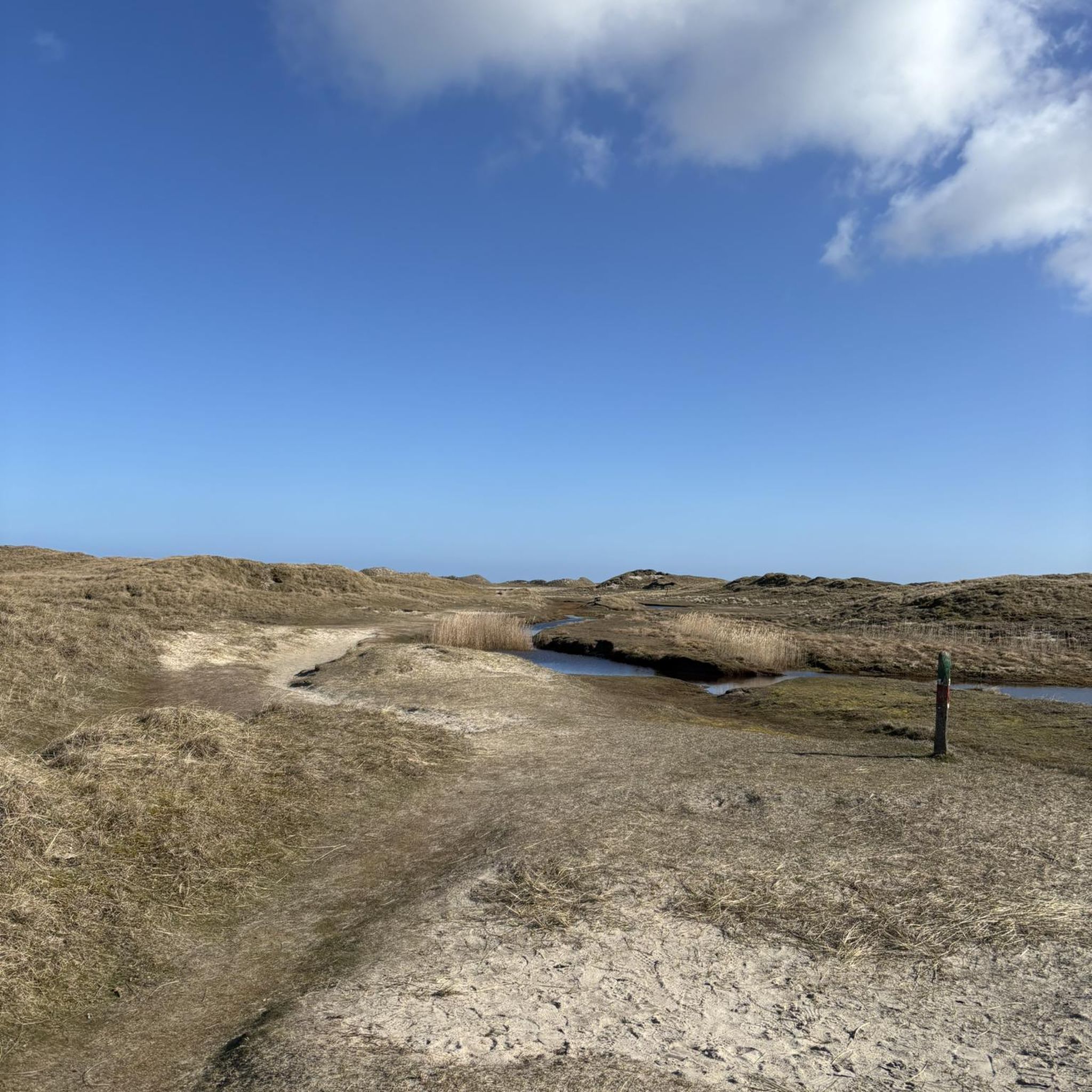
At first you think of snow in the distance, so bright white and the sand is very fine...
2
0


