에르스트펠트 최고의 워킹 & 하이킹 경로
4.4
(120)
1,262
등산객
19
하이킹
정확한 경로를 찾는 것이 때로는 어렵지만 에르스트펠트에서 하이킹을 하면 다양한 경치를 마음껏 감상할 수 있답니다. 에르스트펠트에서 가장 멋진 하이킹과 워킹 중에서 마음에 드는 활동을 시작해보세요.
마지막 업데이트: 10월 1, 2026
5.0
(3)
33
등산객
13.2km
07:04
980m
1,050m
어려운 하이킹. 우수한 체력 필요. 튼튼한 신발을 신고 미끄러지지 않게 조심해야 하며, 높은 산을 오른 경험이 있어야 함.
3.2
(5)
35
등산객
28.4km
07:33
250m
250m
어려운 하이킹. 우수한 체력 필요. 대부분 갈 수 있는 길. 미끄러지지 않게 조심해야 함.

3.0
(1)
14
등산객
12.8km
06:21
1,280m
1,280m
어려운 하이킹. 우수한 체력 필요. 튼튼한 신발을 신고 미끄러지지 않게 조심해야 하며, 높은 산을 오른 경험이 있어야 함.
16
등산객
3.96km
01:02
20m
30m
초급용 하이킹. 모든 체력 수준에 적합. 실력과 관계없이 누구나 쉽게 갈 수 있는 길.
16
등산객
4.83km
01:17
50m
50m
초급용 하이킹. 모든 체력 수준에 적합. 실력과 관계없이 누구나 쉽게 갈 수 있는 길.
더 다양한 경로와 다른 탐험가들의 추천을 살펴보세요.
이미 komoot 계정이 있나요?
투어 추천은 다른 사람들이 komoot에서 완료한 수천 개의 활동을 바탕으로 구성되어 있습니다.




커뮤니티 팁

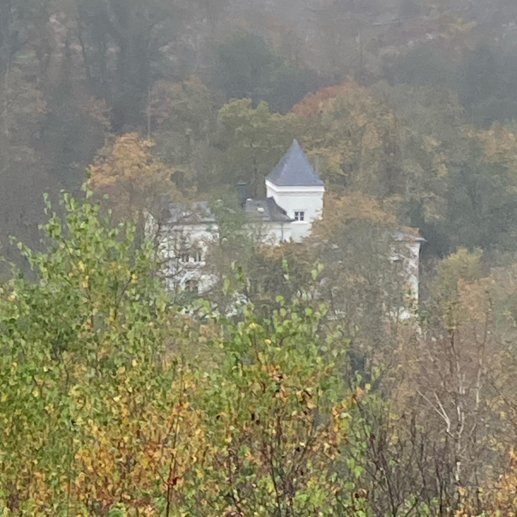
Meierturm Silenen / 질레넨의 귀족 남작 탑 한때 5층짜리 주거용 탑이었던 질레넨의 귀족 남작 탑은 12세기에 지어졌습니다. "질레넨의 귀족 남작"은 이곳에서 소위 메이어(Meier)로 재직하며 프라우뮌스터 수도원을 위해 십일조와 이자를 징수했습니다. 1989년에 탑은 보수되었고 방어 통로와 지붕이 추가되었습니다. 현재 탑의 소유주는 우리(Uri) 주입니다. 2002년 여름, 탑에는 계단이 설치되어 대중이 접근할 수 있게 되었습니다. 이 탑은 행사를 위해 대여할 수 있습니다. 질레넨 시청(Gemeindeverwaltung Silenen)에서 정보를 제공합니다. 전화 041 884 81 10 텍스트 / 출처: 질레넨 시청, Gotthardstrasse 217, Silenen https://silenen.ch/tourismus/brauchtum-historisches/historische-bauten/turm-der-edlen-freiherren-von-silenen
10
0

마이어탑(Meierturm)(실레넨 귀족의 탑이라고도 함)은 스위스 우리(Uri) 주의 실레넨(Silenen) 지자체에 있습니다. 실레넨의 귀족들은 취리히 프라우뮌스터(Fraumünster) 수도원의 메이어(Meier, 관리인)로 일했으며, 로이스탈(Reusstal) 중부의 재산을 관리했습니다. 13세기에 지어진 이 탑은 그들의 주거지이자 행정 본부로 사용되었습니다. 마이어탑은 국가적으로 중요한 문화재이며, KGS-Nr. 10449입니다. 94개의 계단을 오르면 16미터 높이의 내부 전망대에 도달할 수 있습니다. 이곳에서는 암슈테크(Amsteg)와 실레넨 두 마을, 그리고 우리(Urner) 및 글라루스(Glarner) 알프스의 주변 산들을 조망할 수 있습니다. 출처: https://de.wikipedia.org/wiki/Meierturm_Silenen
2
0


We did the tour backwards on May 3, 2025. It was great until halfway through. But then: It was still not very walkable, and the bridge over a waterfall was still beside us. Luckily, we found a way across the river, but it was simply too early to continue on that path.
0
0
We did the tour backwards on May 3, 2025. It was great until halfway through. But then: It was still not very walkable, and the bridge over a waterfall was still out of bounds. Luckily, we found a way across the river, but it was simply too early to take the path.
0
1

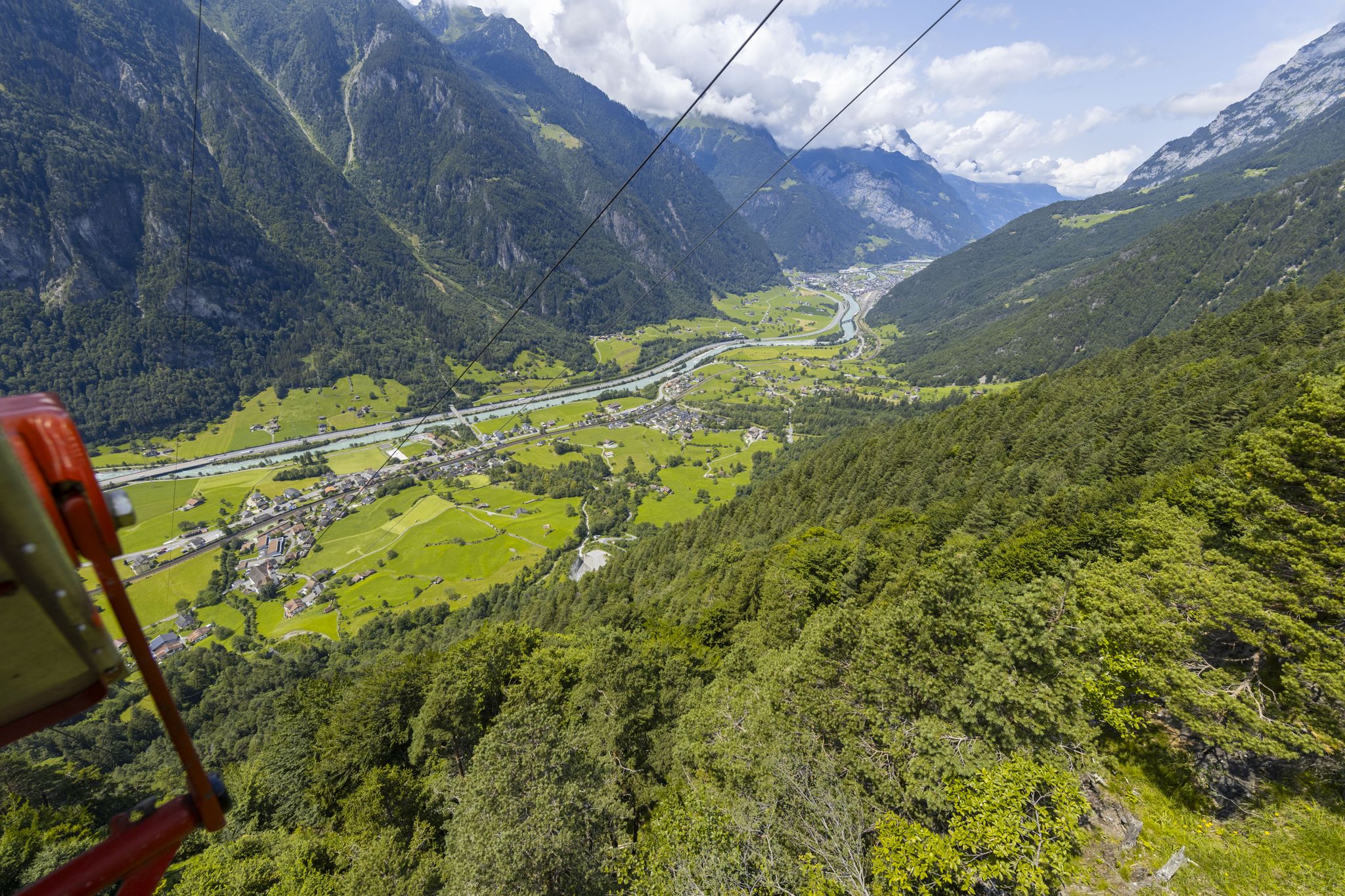
A small asphalt road leads up to the top station of the Wilerli cable car station (not for bikes). Thanks to the solid surface, you can easily get up from the Erstfeldertal and admire the magnificent view of the Central Swiss mountains on the way here.
1
0

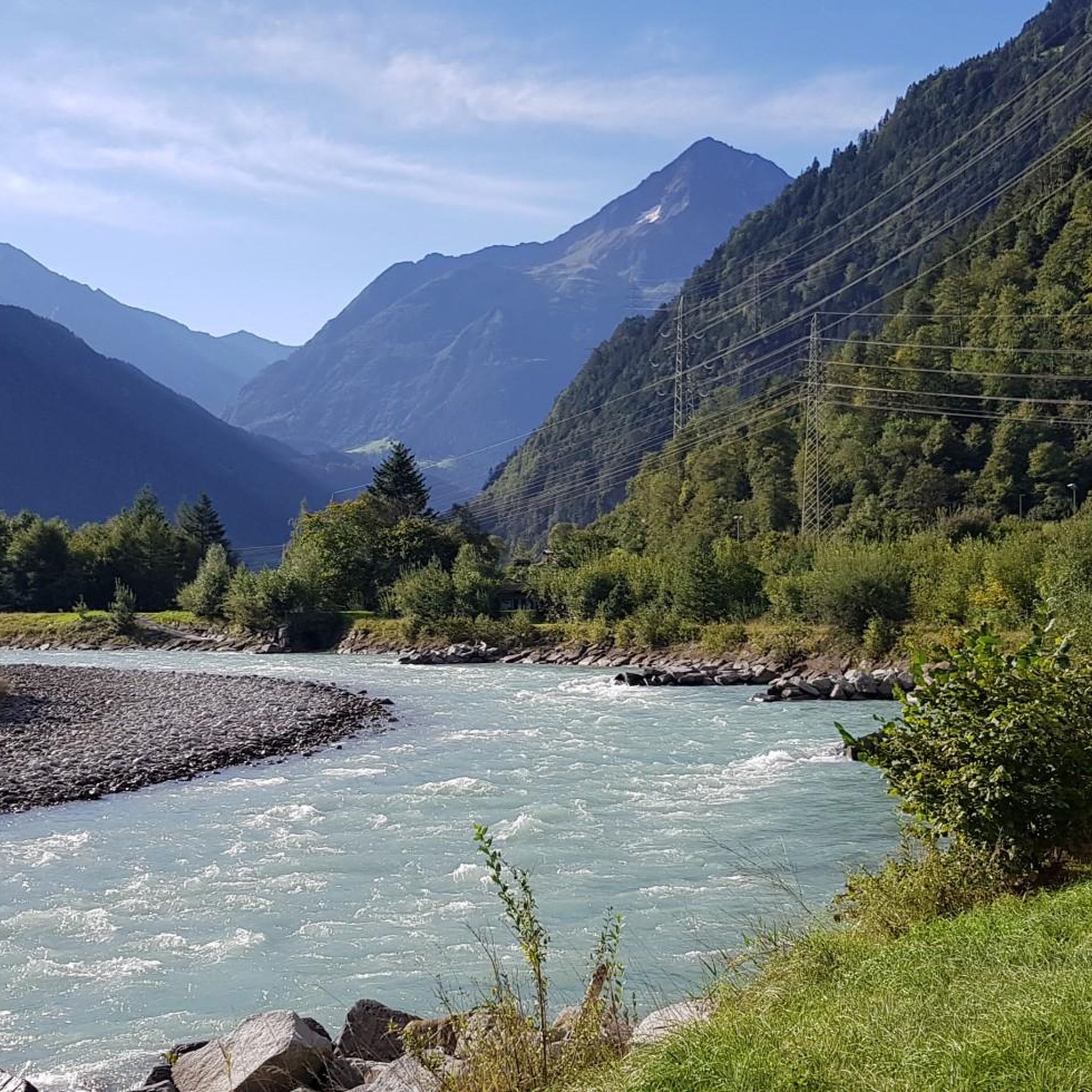
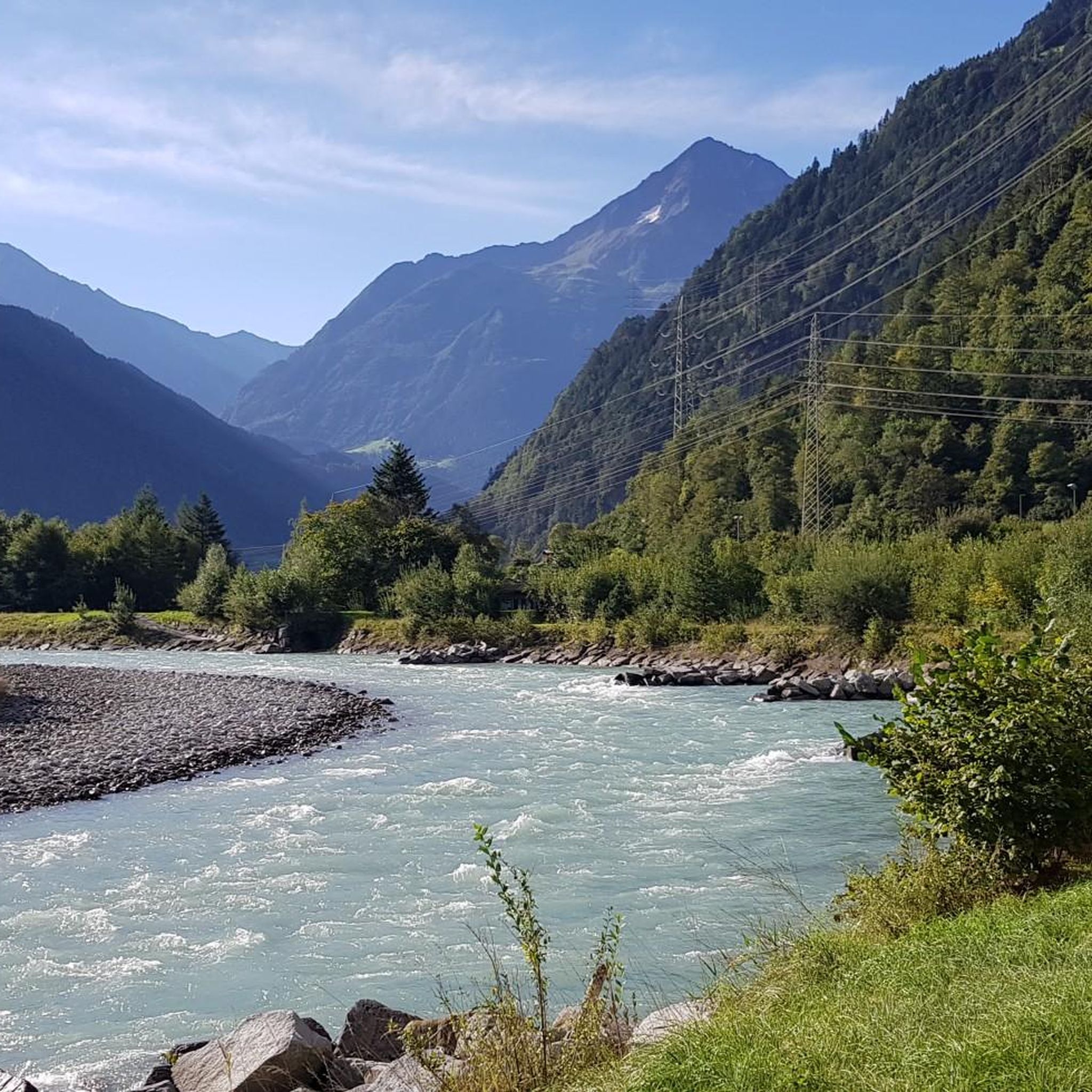
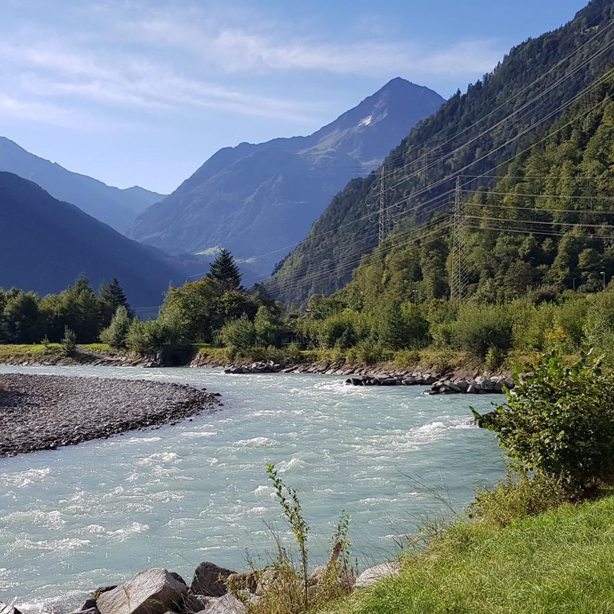
Shortly before Erstfeld you can enjoy this beautiful view of the Reuss.
0
0

On the wide ridge of the Bälmeten there are countless possibilities and enough space to make yourself comfortable in various places and to enjoy the wonderful view. The path from the Grätli point up to the Bälmeten is a blue/white marked path from which you have wonderful views. It first leads briefly over a scree field, then over meadow paths and cool rocky scramble spots, e.g. T. Rope insured, up to the Bälmeten. Sure-footedness and a head for heights are of course a must on the blue and white marked paths and dry conditions are recommended, but otherwise it is not extremely demanding, but cool. The red/white marked path over the Bälmeter Grätli is technically easy, but also a very nice and recommendable ascent or ascent and descent.
1
1


더 살펴보기
다른 지역의 최고의 하이킹를 살펴보세요.
