에를렌바흐 암 마인 최고의 MTB 라이딩 경로
4.6
(451)
1,355
자전거 타는 사람
59
라이딩
에를렌바흐 암 마인에서 산악자전거 라이딩을 하면 다양한 경치를 감상할 수 있어요. 어디서 출발해야 할지 모르겠다고요? 지금부터 에를렌바흐 암 마인 최고의 MTB 경로를 찾을 수 있도록 가장 멋진 라이딩 장소를 소개해드릴게요!
마지막 업데이트: 9월 7, 2026
4.6
(149)
413
자전거 타는 사람
39.7km
02:04
130m
130m
보통 산악 자전거 타기. 좋은 체력 필요. 실력과 관계없이 누구나 갈 수 있음.
4.7
(53)
123
자전거 타는 사람
31.8km
01:55
280m
280m
초급용 산악자전거 라이딩. 모든 체력 수준에 적합. 실력과 관계없이 누구나 갈 수 있음.

4.8
(73)
243
자전거 타는 사람
45.0km
02:22
100m
100m
보통 산악 자전거 타기. 좋은 체력 필요. 실력과 관계없이 누구나 갈 수 있음.
4.4
(10)
45
자전거 타는 사람
31.5km
02:46
660m
660m
어려운 산악 자전거 타기. 좋은 체력 필요. 뛰어난 라이딩 실력이 필요함. 투어 중 자전거를 끌고 가야 하는 구간이 있을 수 있음.
4.8
(16)
40
자전거 타는 사람
22.0km
01:31
300m
300m
보통 산악 자전거 타기. 좋은 체력 필요. 실력과 관계없이 누구나 갈 수 있음.
더 다양한 경로와 다른 탐험가들의 추천을 살펴보세요.
이미 komoot 계정이 있나요?
투어 추천은 다른 사람들이 komoot에서 완료한 수천 개의 활동을 바탕으로 구성되어 있습니다.
오늘 무료 계정으로 시작하세요
다음 모험이 기다리고 있어요.



커뮤니티 팁

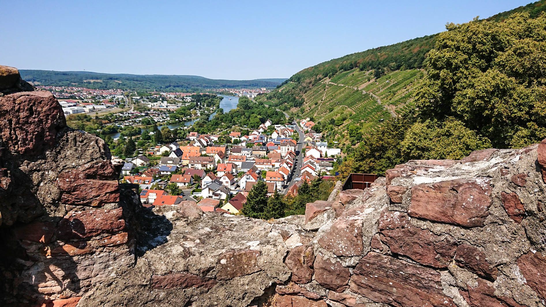
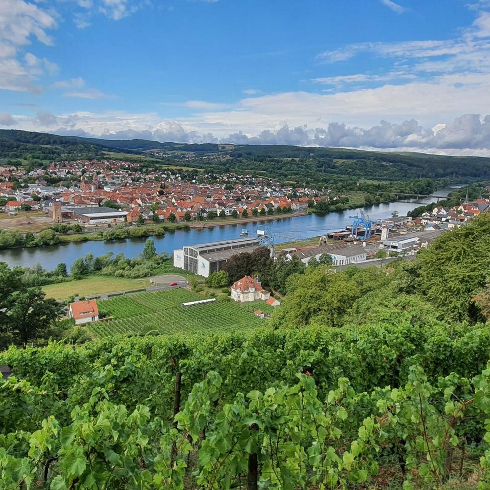
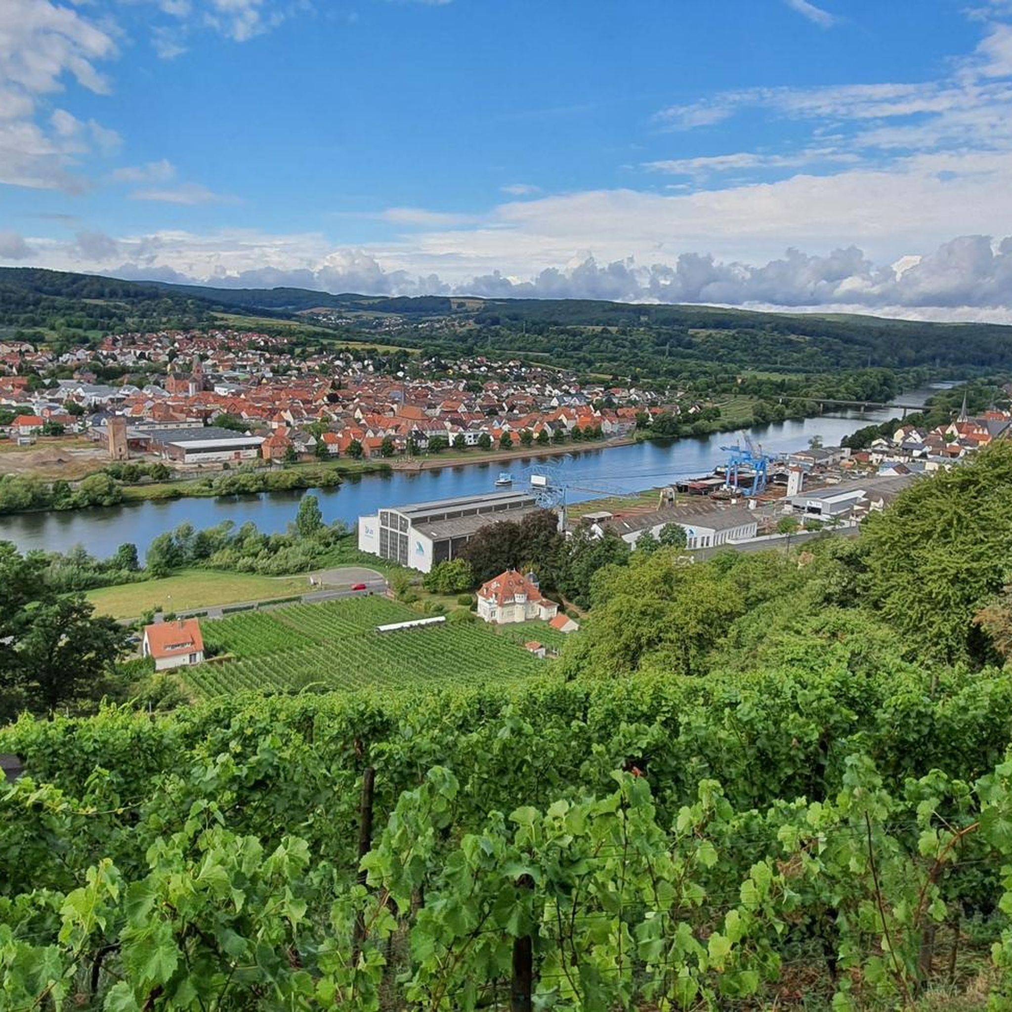
작은 수정입니다. 이곳에서는 Karlstadt가 아닌 Erlenbach를 조망할 수 있습니다. 마을에서는 이 전망대를 당시 시장이었던 Justin Kirchgäßner의 이름을 따 "Justin-Tempel"이라고 부릅니다. Erlenbach 지자체는 화학 공장 Glanzstoff의 높은 사업세 수입 덕분에 이러한 건축물을 지을 수 있을 만큼 많은 돈을 저축했습니다.
0
0

Mildenburg is a castle (spur castle) built in the mid-12th century, originally a Hohenstaufen castle, later a Mainz castle, above the district town of Miltenberg in the Lower Franconian district of Miltenberg in Bavaria. The name Mildenburg, originally Mildenberg or Miltenberg, consists of the Middle High German words milte, meaning kind or generous, and bërc, meaning mountain or castle. These words were intended to characterize the qualities of the castle and its lord. The castle name was transferred to the town of Miltenberg. Source: Wikipedia
1
0

A beautiful bike path right along the Main River. Good asphalt, great views, and plenty of benches for resting.
1
0

The lakes around Niedernberg are always worth a visit
1
0


It's a nice place to take a break and cool your feet.
1
0

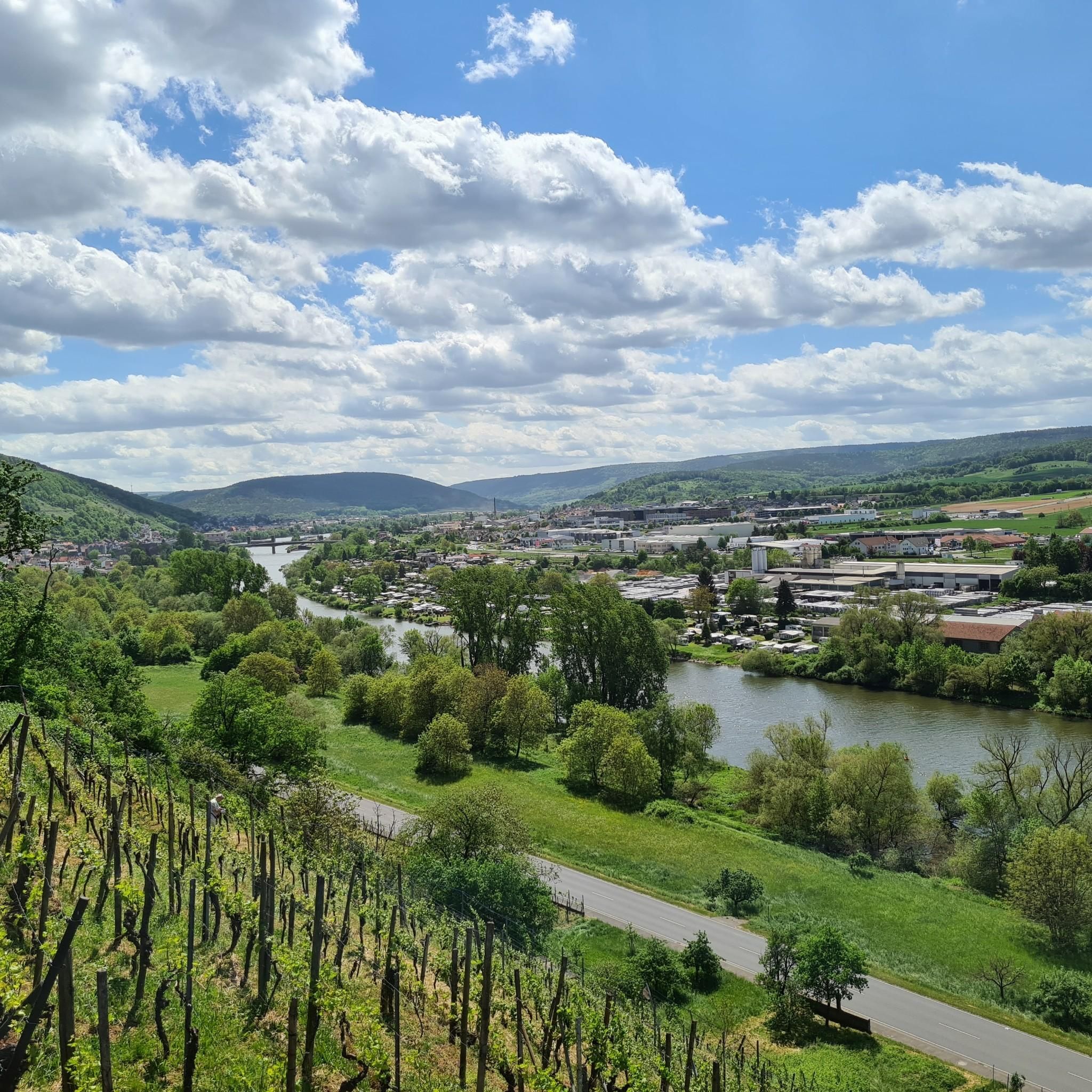
Magnificent view over the Main valley and the Odenwald
3
0
The oldest finds that indicate human life in the Niedernberg area date from the Neolithic period. Radical changes in the landscape were accompanied by Roman rule around the turn of the century. In the first century AD, the Roman Empire reached as far as the Main. To secure their empire's borders, Roman troops built forts at strategically important locations. The origins of Niedernberg go back to such a Roman fort, built between 83 and 150 AD on the so-called "wet Limes", which represented the eastern border of the empire (see Niedernberg Fort). The 144 × 135 meter fort was oriented eastwards, towards the Main. Although it was built over, the layout of today's town center still goes back to the road system of the fort; Hauptstraße and Kirchgasse coincide with the camp roads of the time. Niedernberg was the location of the approximately 500-strong cohort Cohors I Ligurum et Hispanorum, which was recruited in northern Italy and Spain. Interesting finds such as the Marcellus Stone or a burial ground discovered in 1963 provide information about the life of the Romans stationed in Niedernberg. In 1964, a bronze fountain mask was found during construction work on the main street, which is the only original discovered north of the Alps. The mask is the showpiece of the Abbey Museum in Aschaffenburg and is often on loan at Roman exhibitions and is one of the rarest exhibits. The first documented mention of Niedernberg dates back to 1095. At that time, "Diemar von Niderenburc" bequeathed half a Hube of land from his Pfungstadt property to the Lorsch monastery on the Bergstrasse for the maintenance of his daughter monastery Steinbach in the Odenwald. As early as 1340, the Niedernberg chapel, from which the current parish church of St. Cyriakus emerged, was given small bequests. Both the tower and the "old choir" from 1461 have been preserved. Extensive reconstruction and expansion measures were carried out under Pastor Seubert in 1897 and 1931. The gravestone of the district alderman Michael Groß was embedded on the south side of the church tower around 1822. According to legend, his courage saved Niedernberg from destruction by the Swedes in the Thirty Years' War. Source: Wikipedia
5
0
에를렌바흐 암 마인 주변에서 가장 인기 있는 명소


더 살펴보기
다른 지역의 최고의 MTB 트레일를 살펴보세요.
