쿠츨에서 가장 멋진 20개의 천연기념물
천연기념물을 방문하여 쿠츨의 아름다운 풍경을 만나보세요. 쿠츨에 있는 20
개의 천연기념물과 상세 정보를 살펴본 후에 방문하고 싶은 천연기념물을 다음 모험 계획에 추가해보세요!
마지막 업데이트: 10월 27, 2026

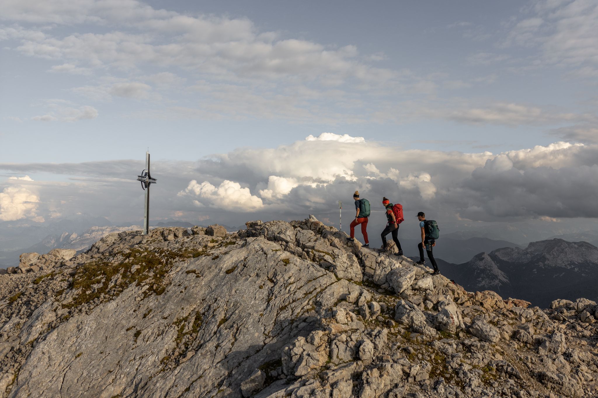
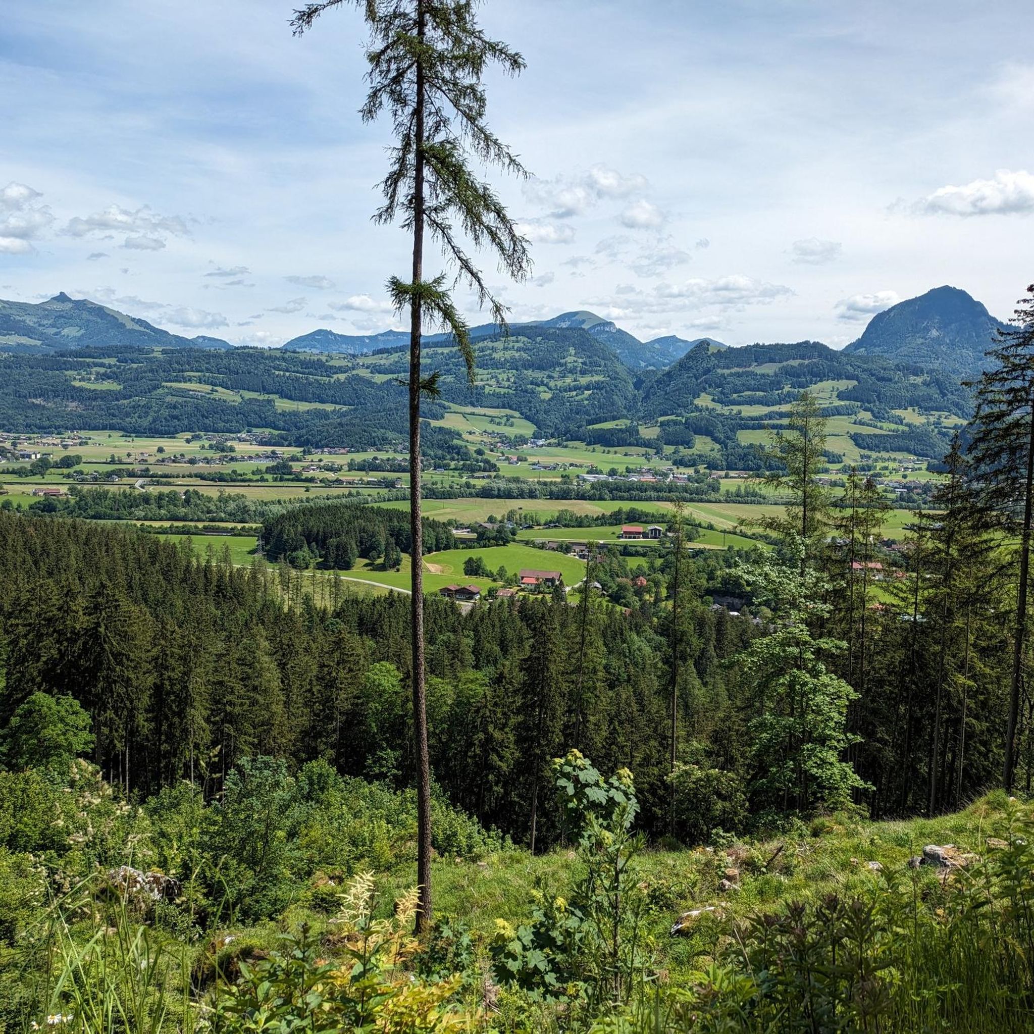
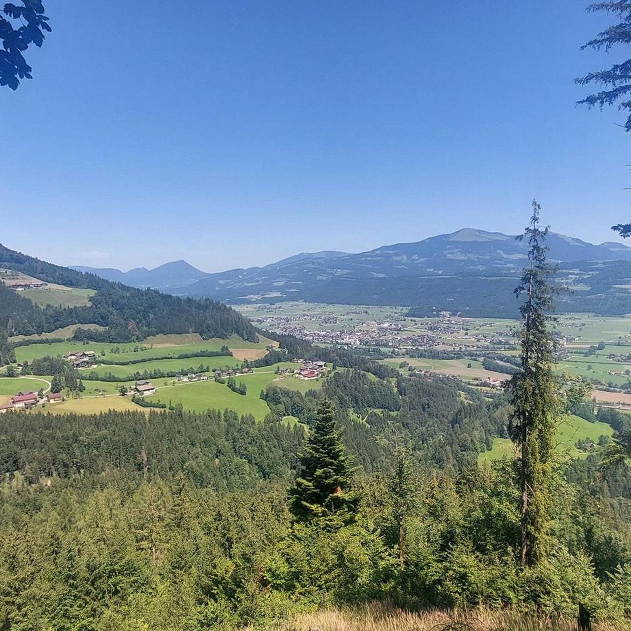
말러빈켈에서 바라본 쾨니히스제 전망
하이라이트 • 전망대
번역자 Google •
팁에 의해

이런 장소를 발견하려면 지금 가입하세요
최고의 싱글 트랙, 봉우리 및 다양한 흥미로운 야외 장소에 대한 추천을 받아보세요.
알름바흐 협곡 (Almbachklamm)
하이라이트 (구간) • 협곡
번역자 Google •
팁에 의해
알름바흐 협곡의 낮은 터널
하이라이트 • 구조물
번역자 Google •
팁에 의해

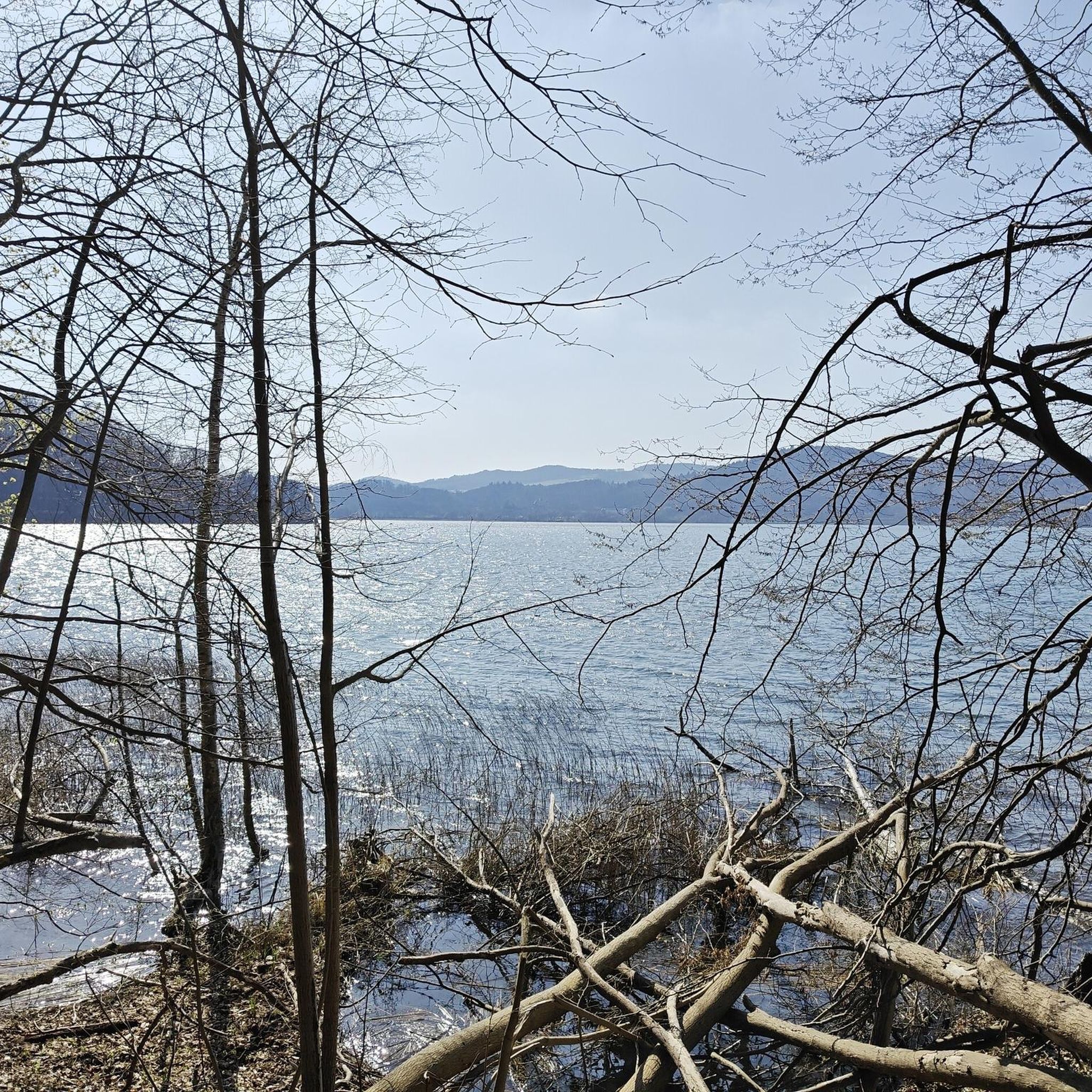
쾨니히스제 보트 선착장
하이라이트 • 휴식 공간
번역자 Google •
팁에 의해

무료로 가입하여 쿠츨 주변의 더 많은 자연 기념물을 발견하세요.
이미 komoot 계정이 있나요?
오늘 무료 계정으로 시작하세요
다음 모험이 기다리고 있어요.


커뮤니티 팁

Very nice hike on partly narrow paths, this time via the Braunlehen route (red hike even if it is still marked as blue in the gorge!!)
4
0

The path leads over 29 footbridges and bridges and several stone stairs through the wild Almbachklamm near Marktschellenberg. Even a tunnel is crossed. At the foot of the Untersberg, the Almbach has formed a deep gorge in the terrain. The path through the Almbachklamm is three kilometers long. Trees line your path, the bubbling and roaring torrent flows next to you. Right at the entrance to the gorge you can visit the oldest marble ball mill in Germany. An adventure for the whole family – even in summer. The Almbachklamm is usually open from the beginning of May to the end of October. However, there may be changes due to weather conditions (it's best to check on the website before starting your tour). The starting point is the free Almbachklamm car park on Kugelmühlweg in Marktschellenberg. If you come by public transport, you can use bus lines 836 and 840. Further information is available at https://www.berchtesgaden.de/almbachklamm.
5
5

Beautiful gorge, very good paths with good security. However, good shoes, enough to drink in high heat. Sure-footedness and a head for heights are required. Good condition, as it is sometimes very steep up and down.
5
0

The Almbachklamm is particularly long. There are many lattice floor steel bridges over the creek with magnificent views. There are also plenty of opportunities to put your feet in the water and relax away from it all and enjoy the spectacle of nature. A special plus is the possibility to extend the hike through the gorge with a circular hike over the Hammerstielwand.
11
2

Tall people have to bend down here; fortunately the tunnel is not particularly long and after a few meters you can walk upright again.
5
1

Hewn through the rock in just 4 weeks in 1894 by 250 men of the 1st Ingolstadt Engineer Battalion. Very low and ducking your head is recommended! 😊
12
1

Please note that this bike/MTB highlight is off the official cycle path network. In the national park, cycling is only permitted on the paths that have been approved for this purpose, in order to protect the sensitive habitats of animals and plants and to avoid conflicts between user groups. Therefore I ask you to explore this highlight only on foot. Currently, according to the 1992 regulation and the 2012 amendment, cycling is only allowed on the following roads: 1. Hirschbichlstraße (state road 2099) and from the Bindalm bus stop to the alpine huts on the Bindalm; 2. Eiskar forest road to the fork in the path to the Schartennalm; 3. Eckau-Forststraße to Eckau-Alm with turnoff to the Schwarzederer-Wendeplatte; 4. Schappachstraße and Hammerstielstraße to Kühroint - turning point in front of the Archenkanzel - and forest road to Herrenroint; 5. Gotzenstraße and Hochbahnweg to Gotzenalm and access to the Stahlhaus; 6. Ligeretstrasse. The supplement to approved cycle paths from 2012 is in the Official Journal for the district of Berchtesgadener Land No. 20 from 05/15/2012 on page 127ff. (https://www.lra-bgl.de/t/das-landratsamt/amtsblaetter/). The ordinance is based on Art. 31 Para. 1 and Art. 43 Para. 2 No. 3 of the Bavarian Nature Conservation Act (BayNatSchG). We would be very grateful for your help to protect nature! If you have any further questions, please do not hesitate to contact us. https://www.nationalpark-berchtesgaden.de/
0
0

In the middle of the road, on the way to the waterfall. Through impressive gorges.
6
1


더 살펴보기
쿠츨 주변의 최고의 동굴을 찾기 위해 이 가이드를 확인해보세요:
