라갈에서 가장 멋진 20개의 산 정상
라갈의 산 정상에 오르면 이 지역의 아름다운 모습을 제대로 구경할 수 있어요. 다만, 20
곳이나 되는 산 정상 중에서 어떤 곳을 가야 할 지 고민된다는 게 문제죠. 라갈에서 가장 멋진 산 정상을 살펴본 후에 마음에 드는 산 정상을 다음 모험 계획에 추가해보세요.
마지막 업데이트: 10월 9, 2026

Mondspitze 정상 십자가
하이라이트 • 정상
번역자 Google •
팁에 의해

이런 장소를 발견하려면 지금 가입하세요
최고의 싱글 트랙, 봉우리 및 다양한 흥미로운 야외 장소에 대한 추천을 받아보세요.


브라우나를슈피체 정상
하이라이트 • 정상
번역자 Google •
팁에 의해

무료로 가입하여 라갈 주변의 더 많은 봉우리를 발견하세요.
이미 komoot 계정이 있나요?
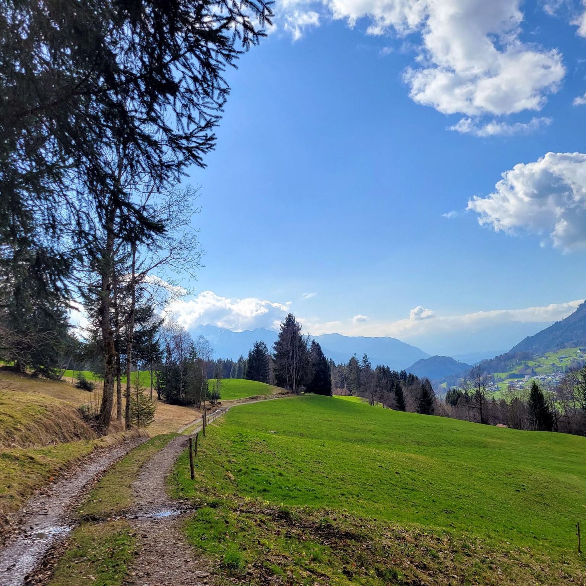


커뮤니티 팁

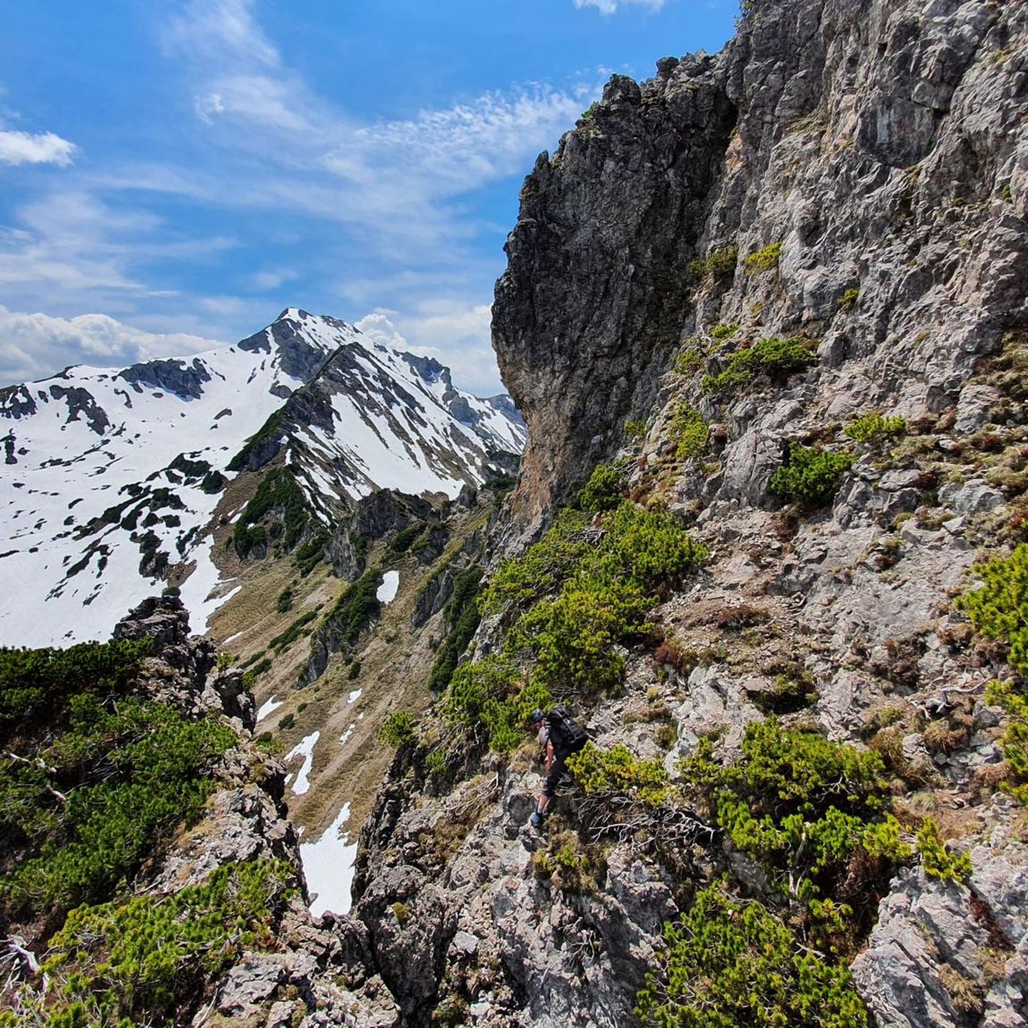
오르막은 예상보다 가파르지만, 능선의 중간 높이부터는 와이어 로프 덕분에 매우 잘 오를 수 있습니다. 하지만 고소공포증이 없고 발걸음이 확실해야 합니다.
1
1
The T4 trail to Schillerkopf, coming from the Tschengla parking lot P3, is relatively easy to manage. There are only a few places where you need to use your hands, the trail is always clearly visible, and only a few sections are exposed.
0
0

The Braunarlspitze (2,649 m, highest peak in the Bregenzerwald Mountains) offers a fantastic panoramic view all around on clear days – both of the striking peaks in the surrounding area and of famous mountains in the distance. To the north/northeast: - Bregenzerwald Mountains with Kanisfluh, Hoher Ifen, and Diedamskopf - Behind them, on a clear day, the Allgäu Alps with Hochvogel and Grosser Krottenkopf To the east/southeast: - Lechquellen Mountains with Roter Wand and Mohnenfluh - In the distance, the Silvretta region with Piz Buin, Piz Linard, and the Ochsental Glacier To the south: - Verwall Group with Hoher Riffler To the west/southwest: - The Rätikon with Zimba, Schedsaplana, and Drusenfluh
1
0

The day begins where the greenery ends, lush indeed, but already slightly slanted by the altitude. Those who reach the Fürggele Pass have long since left everyday life behind – down in the valley, where the Bregenzerwald road winds its way through the hills like an old question no one asks anymore. Up here, however, everything presents itself anew. The wind blowing from the ridge carries no answers, but it doesn't ask questions either. It is simply there. Cooler than the breath of the trees, clearer than any weather forecast, and with that relentless clarity that tells you: Now, how you walk counts. The path to the Braunarlspitze is not a walk in the park. It is a silent test. No drama, but also no tourist theater. The stones don't talk, but they remind you with every step that humans are guests here – with good footwear, if possible. Some paths cling to the slopes like veins to the heart, others climb in a straight line, as if they were sure of their cause. And somewhere in between, the real wonder begins: when you stop looking at your feet and instead raise what you so rarely raise – your gaze. Then the world expands. Remnants of snow lie in the gullies like forgotten letters from winter. The ridges draw jagged lines against the blue, and somewhere a lake shimmers, small as a scrap of thought you haven't yet finished.
3
1


Magnificent ski touring summit, very frequently visited. Fantastic panoramic view. From the ski depot it is usually a 200m walk up the ridge, which, like the southern flank, quickly melts. Powder snow descents are almost guaranteed.
1
0

At 2,134 metres, the Glatthorn is the highest mountain in the Bregener Ore Forest. You reach it via narrow paths and should be experienced and sure-footed. Once you reach the top, you can enjoy a sensational panorama if the weather is clear.
5
1

The most beautiful summit cross I have ever seen. At the top there is a book with a pen to write your name
5
0


더 살펴보기
이 가이드를 통해 라갈 주변의 더 놀라운 정상들을 확인해보세요:
