레온베르크에서 가장 멋진 16개의 산 정상
레온베르크의 산 정상에 오르면 이 지역의 아름다운 모습을 제대로 구경할 수 있어요. 다만, 16
곳이나 되는 산 정상 중에서 어떤 곳을 가야 할 지 고민된다는 게 문제죠. 레온베르크에서 가장 멋진 산 정상을 살펴본 후에 마음에 드는 산 정상을 다음 모험 계획에 추가해보세요.
마지막 업데이트: 9월 12, 2026
그뤼너 하이너 전망대
하이라이트 • 전망대
번역자 Google •
팁에 의해


이런 장소를 발견하려면 지금 가입하세요
최고의 싱글 트랙, 봉우리 및 다양한 흥미로운 야외 장소에 대한 추천을 받아보세요.
Karlshöhe에서 바라본 전망
하이라이트 • 전망대
번역자 Google •
팁에 의해
Rohrer Höhe 자갈길
하이라이트 • 자전거 도로
번역자 Google •
팁에 의해

무료로 가입하여 레온베르크 주변의 더 많은 봉우리를 발견하세요.
이미 komoot 계정이 있나요?




커뮤니티 팁

A breezy experience. It sways a bit up there, but it's worth it: the panoramic view is fantastic. I especially like the view across to the Pragsattel and out into the Neckar Valley. Please don't forget to drop in a one-euro donation. It's inexpensive and helps!
1
0

The hill was artificially raised in the 1950s, mainly using large amounts of rubble. The new hill that was created was initially called Heiner by the locals and soon became a destination for excursions. After it was overgrown with grass and other vegetation, the new conical hill was given the new nickname Green Heiner because of its more pleasing appearance. It owes its popularity in particular to the good view in clear weather.
11
0

Probably the most beautiful, freely accessible viewpoint on Stuttgart and a wonderful rest area. The “shards” of the past make you think, but these days they offer great places to sit and play for the children.
9
2

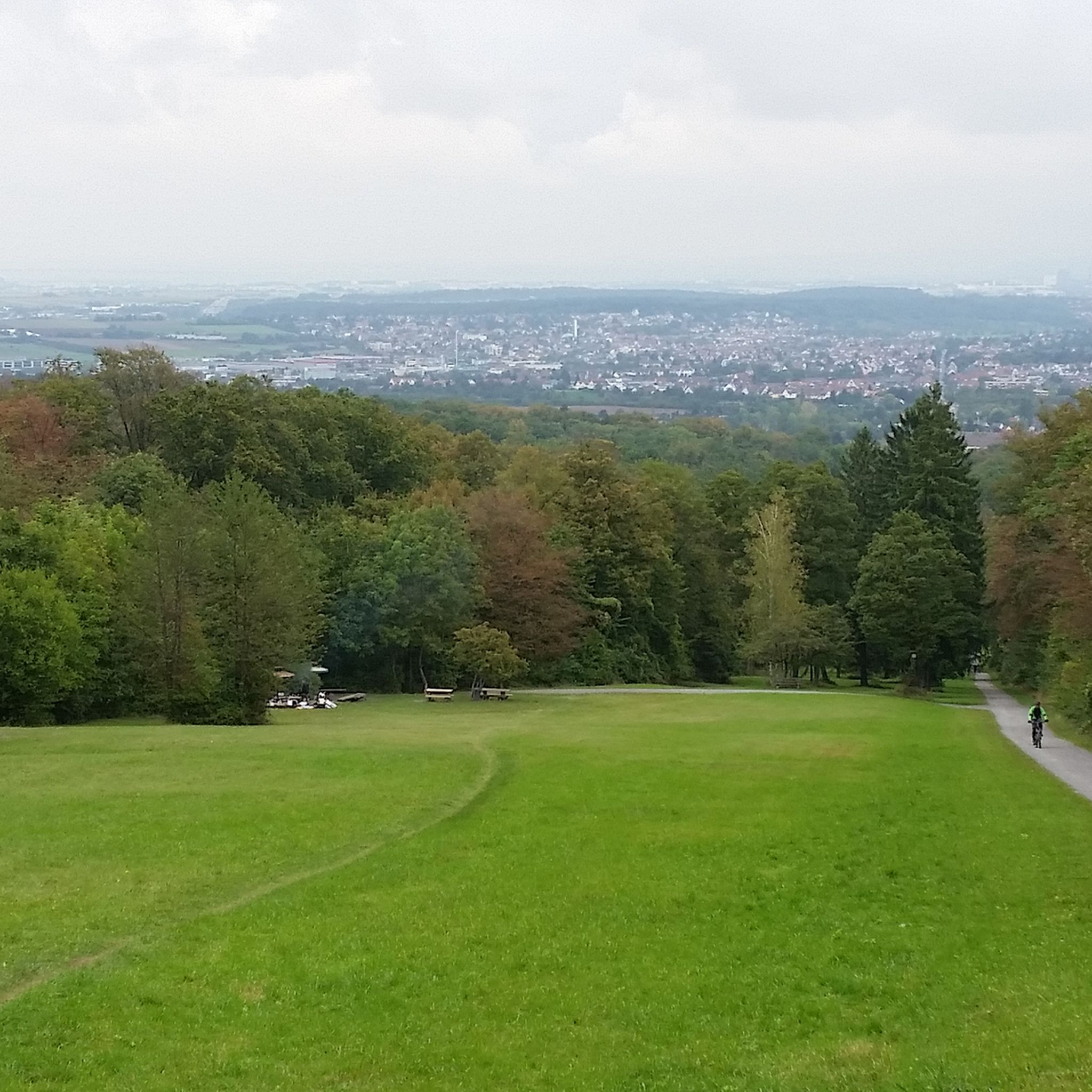
From above there is a unique 360-degree all-round view. Many benches, some with tables, are located all over the mountain and invite you to take a break.
15
1
The local mountain of the model gliding club IG Heiner e.V. It is a designated model flying area. The information boards must be observed.
15
2

Most beautiful in summer with sunbathing lawns, benches and a kiosk.
10
0

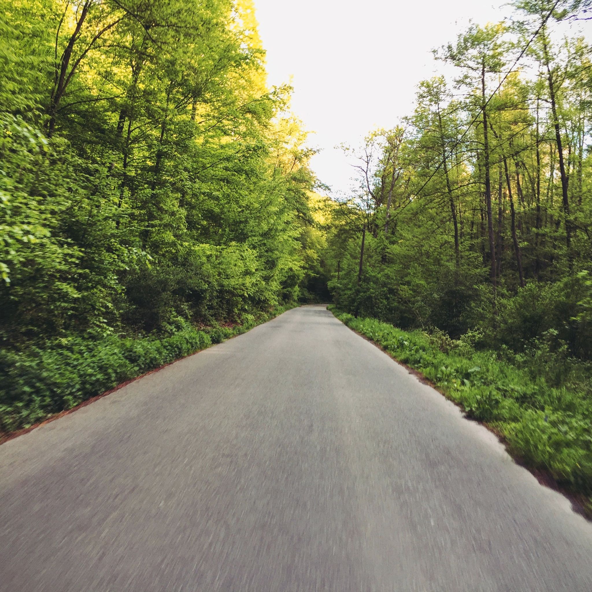
This track is for speed junkies, good brakes are required there, I admittedly drove down there carefully because it was wet, otherwise it's not really for me.
3
0

One of the city's most popular viewing spots is located on the Karlshöhe with its vineyards, gardens and public green spaces. From up here you have a wonderful view over Stuttgart south and center. The top of the hill was originally used as a quarry in the Middle Ages. The stones were used, among other things, for the collegiate church and the old castle in Stuttgart as well as the Ulm Minster. You can still see the crater of the former quarry today - there is now a playground in it. From 1864 onwards, the area was converted into a park by the Stuttgart Beautification Association and renamed “Karlshöhe” in 1889, on the 25th anniversary of the Württemberg King Karl. As part of the Federal Garden Show in 1961, the facility was expanded and added a terrace and a milk bar (now a beer garden). Source: https://www.stuttgart-tourist.de/a-karlshoehe-stuttgart
10
0
레온베르크 주변에서 가장 인기 있는 명소


더 살펴보기
이 가이드를 통해 레온베르크 주변의 더 놀라운 정상들을 확인해보세요:
