뵈르터제에서 가장 멋진 5개의 산 정상
뵈르터제의 산 정상에 오르면 이 지역의 아름다운 모습을 제대로 구경할 수 있어요. 다만, 5
곳이나 되는 산 정상 중에서 어떤 곳을 가야 할 지 고민된다는 게 문제죠. 뵈르터제에서 가장 멋진 산 정상을 살펴본 후에 마음에 드는 산 정상을 다음 모험 계획에 추가해보세요.
마지막 업데이트: 10월 17, 2026
피라미덴코겔 전망대
하이라이트 • 전망대
번역자 Google •
팁에 의해

카트라인코겔 유적지 및 교회
하이라이트 • 역사적 장소
번역자 Google •
팁에 의해

이런 장소를 발견하려면 지금 가입하세요
최고의 싱글 트랙, 봉우리 및 다양한 흥미로운 야외 장소에 대한 추천을 받아보세요.
번역자 Google •
팁에 의해
호허 갈린에서 바라본 뵈르테제 호수 전경
하이라이트 • 전망대
번역자 Google •
팁에 의해


오늘 무료 계정으로 시작하세요
다음 모험이 기다리고 있어요.
뵈르터제 주변 인기 장소
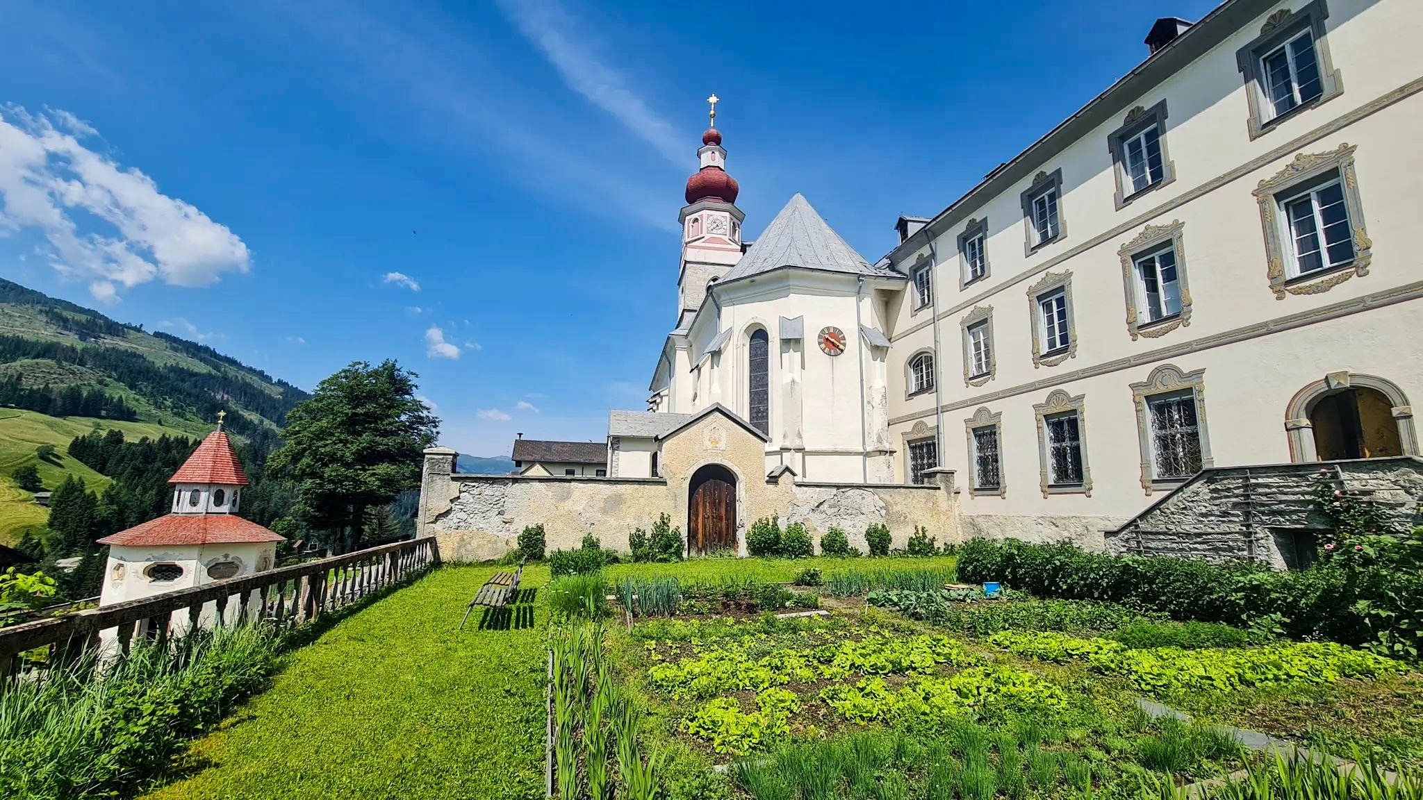
놀라우치고 자신을 찾으세요 - 카린티아 마리아 순례 길

알페-아드리아-트레일: 빙하에서 바다까지의 나의 장거리 하이킹
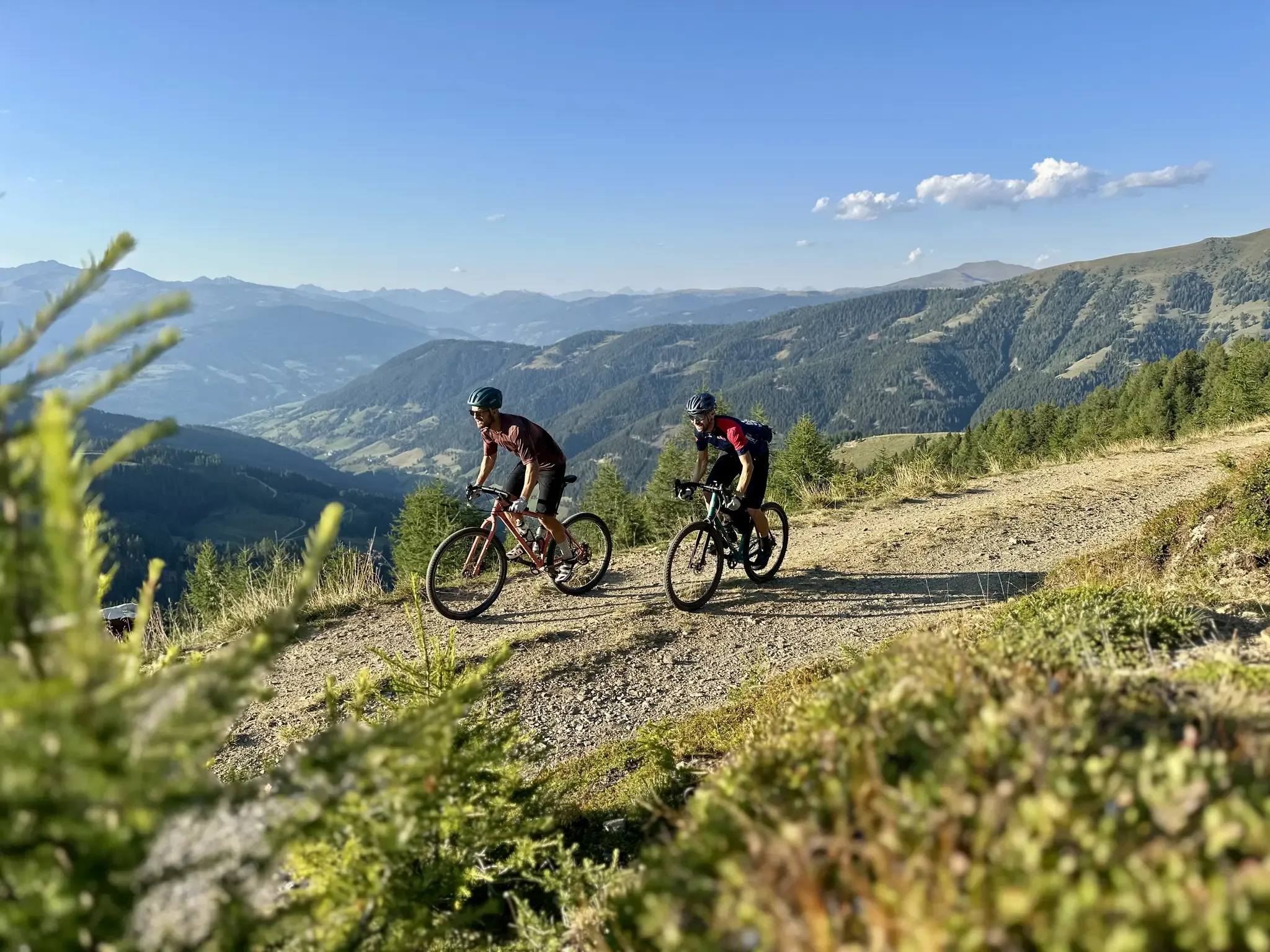
Five Rides Through Gravel Carinthia – Exploring the Nockberge, the Karawanken and Turquoise-Blue Lakes on a Gravel Bike
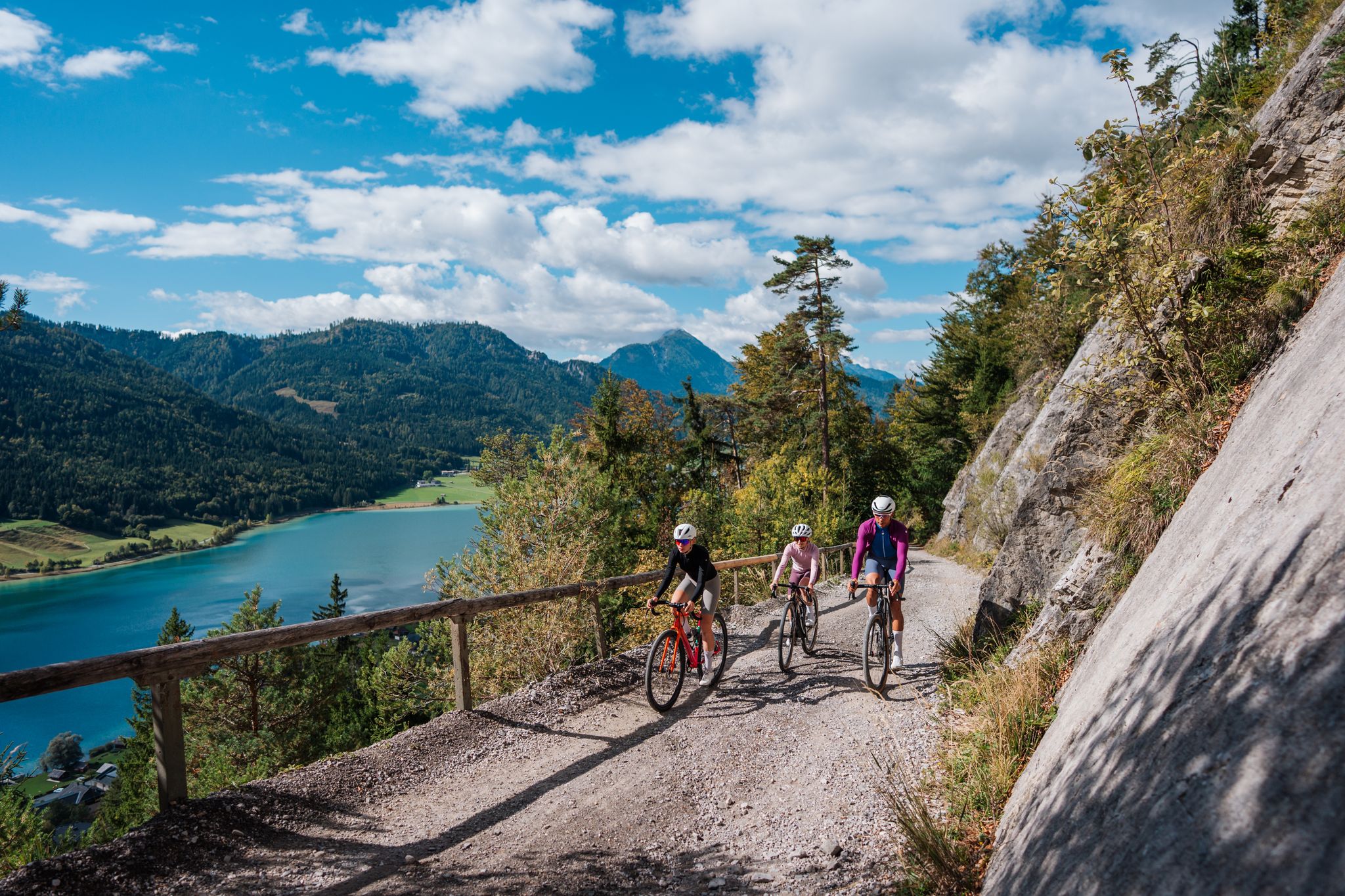
Gravel Carinthia
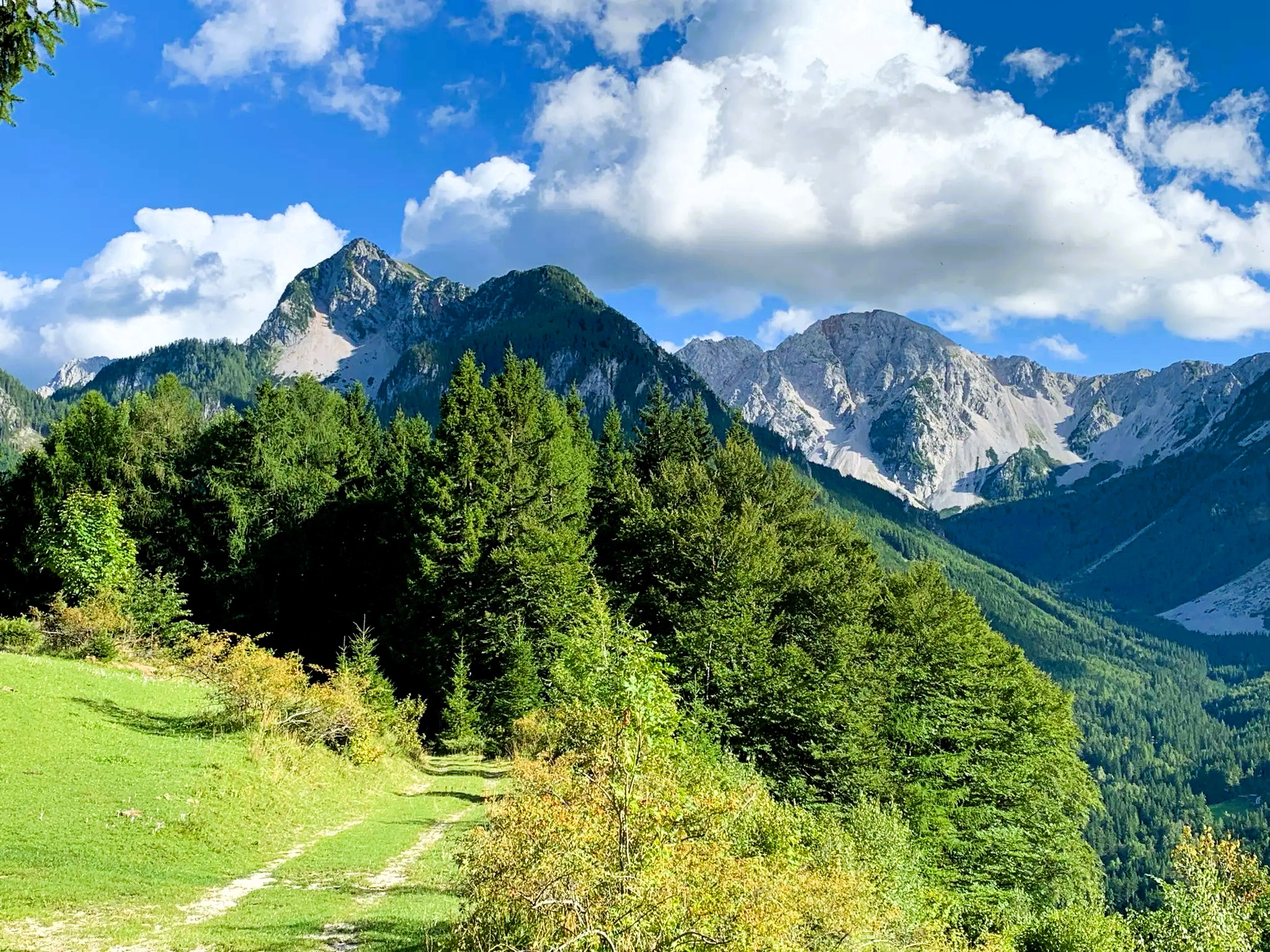
Hiking at Wörthersee – varied trails between lakes and peaks
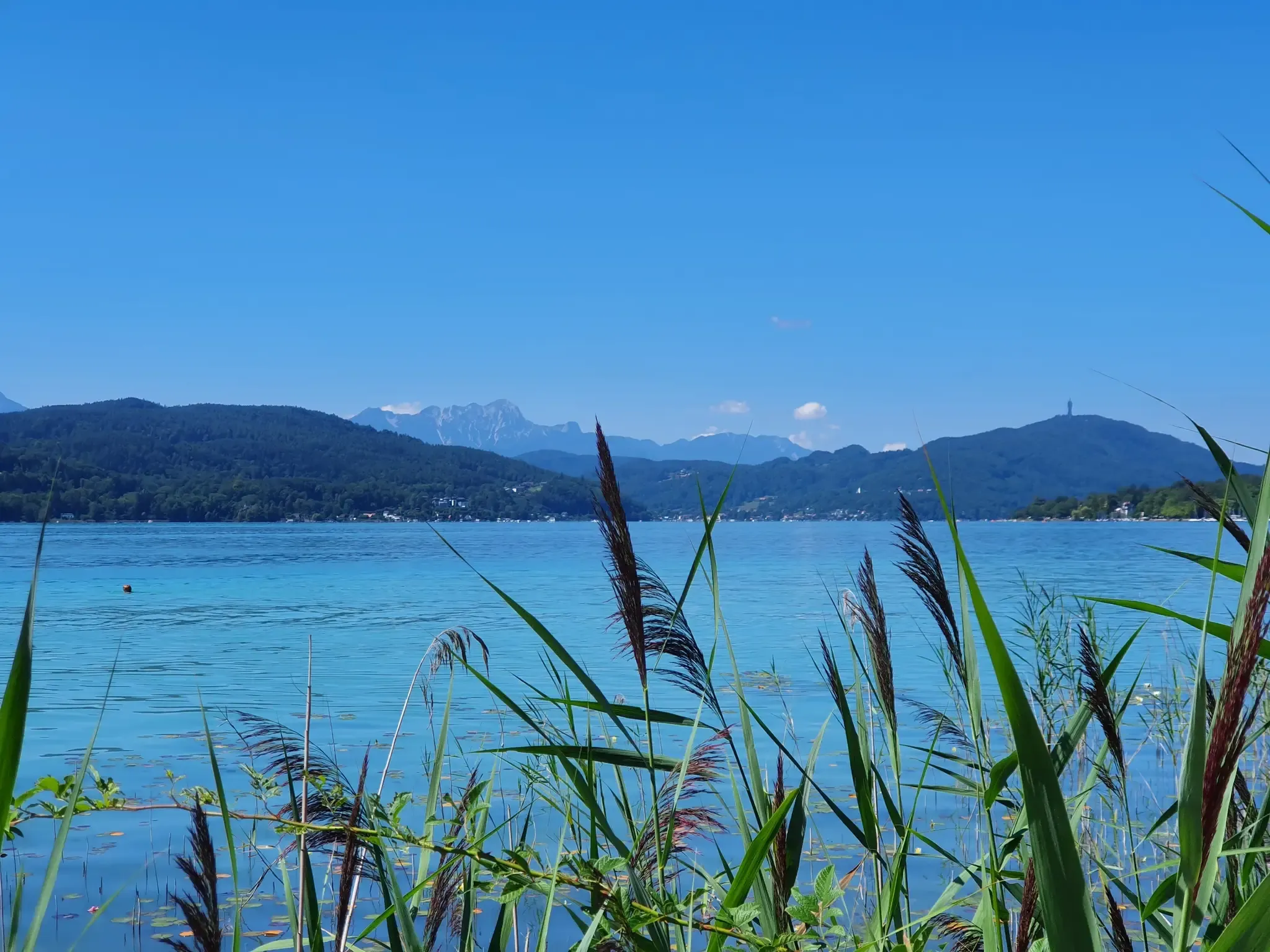
Dreamy rides around Wörthersee for leisure cyclists and gravel enthusiasts
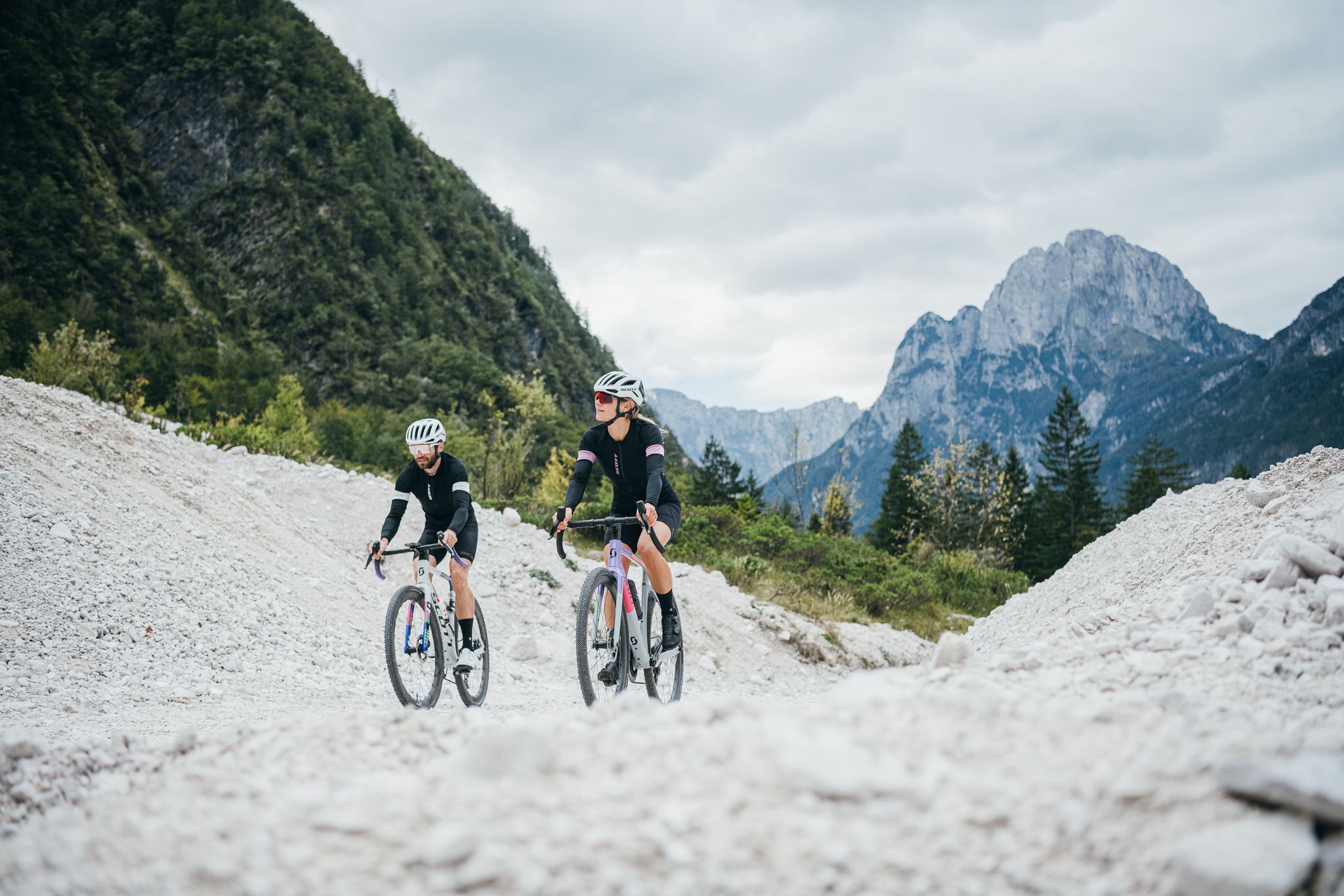
Cross-border riding fun with the W-Gravel Open Routes
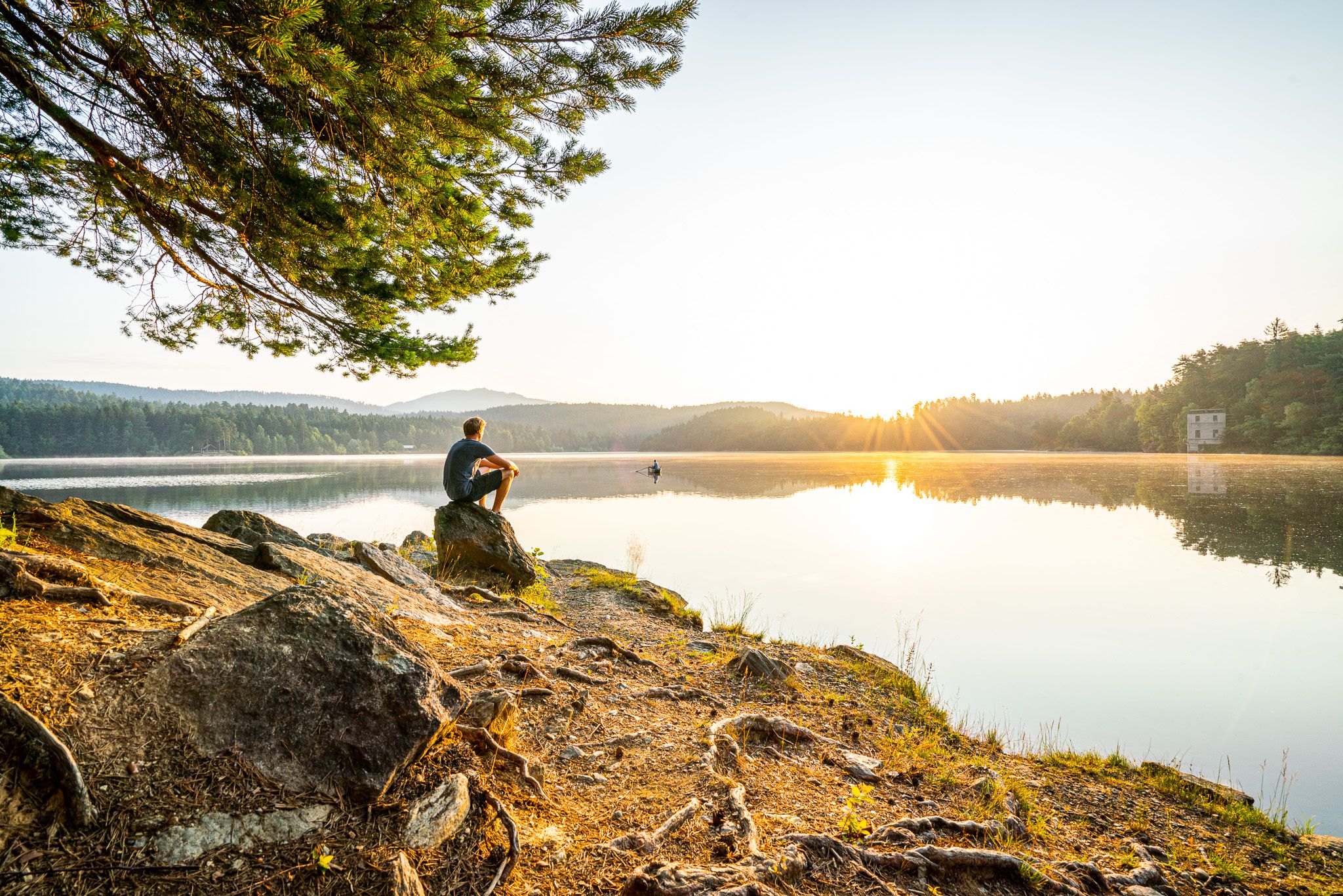
Experience Wörthersee – hiking with views of turquoise-blue
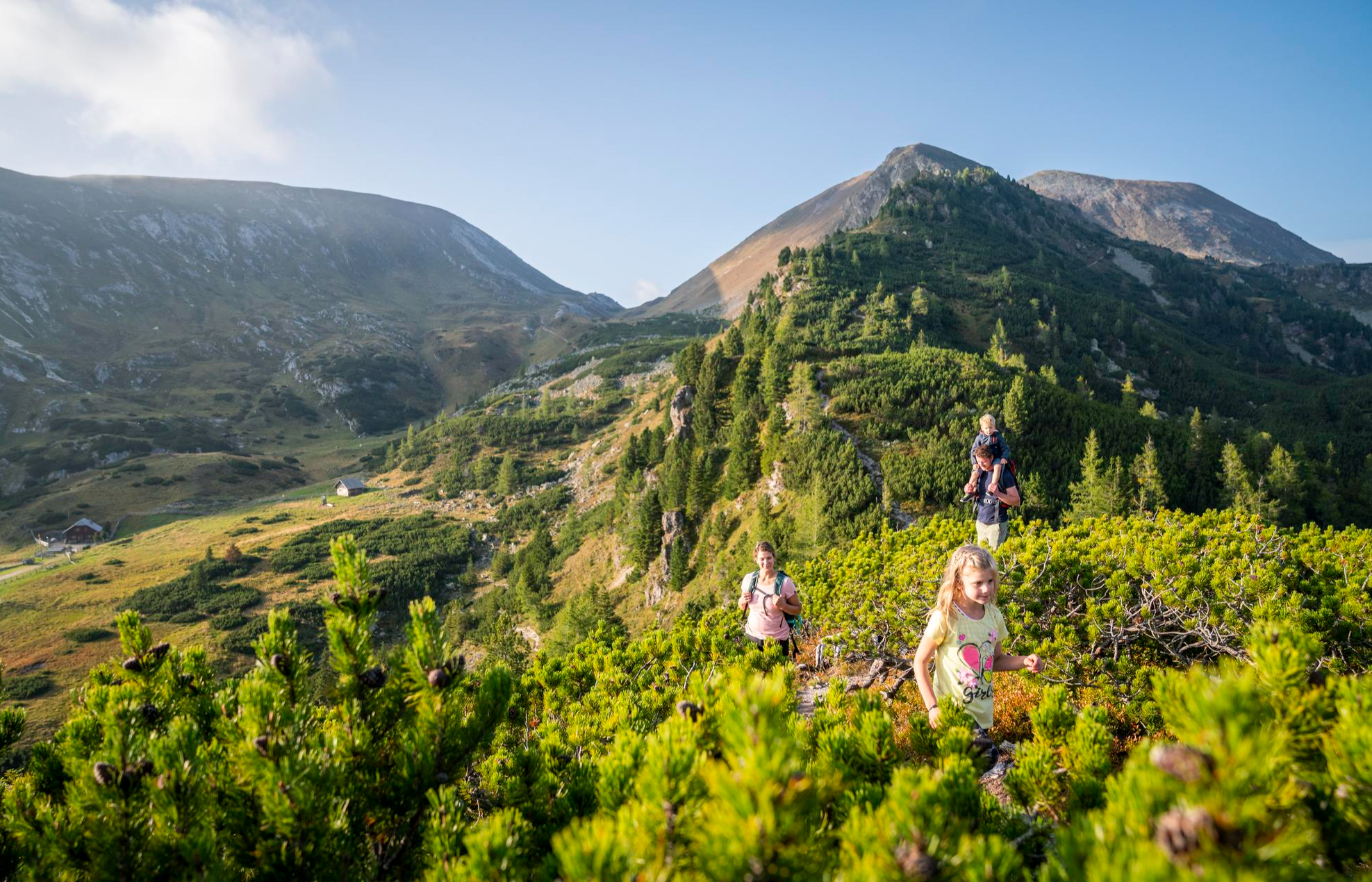
Joyous adventures experienced together – family hiking in Carinthia
Spectacular and historic – long-distance hiking in Carinthia
뵈르터제 주변의 다른 모험


커뮤니티 팁

And then there's the Pirkerkogel – 666 meters above everyday life. The path up isn't long, but long enough to forget the noise below. At the top, a picture like something out of a brochure about an Alpine idyll awaits: lake, mountains, forests – and in the middle of it all, the Pyramidenkogel, rising from the back of the mountain like a distant exclamation point. If you're lucky, you'll still find the bench free – it's half in the light, half in the shade, and, as one commentator wrote, is dry even in the rain. Perhaps that's the true quality of this place: even the weather seems to be considerate here.
0
0

On the Kathreinkogel, huts of various dimensions were found wherever natural depressions in the steep slopes provided absolute protection from the wind. A remarkable farm site dating to the 12th/11th century BC was uncovered on a western slope terrace. The most important find is a prehistoric vertical loom.
1
0
Opening Hours of the House of Archaeology Mid-June to September 30th, 10:00 a.m. to 4:00 p.m. (Closed in rainy weather - the information board at the Kreuzwirt parking lot indicates whether the museum is open). The complex (e.g., the fort with its early Christian church, the burial ground to the southwest) is open to visitors at all times. Information is available at +49 4274 2275-22. Velden/Schiefling/Rosegg Historical Society Chairwoman: Dr. Renate Jernej
0
0


Very nice quiet hike
0
1

The 671 meter high summit is forested, so you don't get a view from here. But there is a small summit cross, which is nice. This is also the start of the Falkenberg Bike Trails.
2
0

While cyclists thronged Lake Wörthersee on car-free day, we drove to St. Bartholomew's. We parked the cars at the small church and followed the signs for "Hoher Gallin Weg" (High Gallin Trail). The path led us uphill through the forest. After a good hour, we reached the summit cross. A magnificent view of Lake Wörthersee opened up before us. After a leisurely rest, we hiked westward downhill to Töpriach. Unfortunately, we had to walk back to our starting point along the asphalt road, which, however, was hardly used by cars. We enjoyed a well-deserved meal after the hike at the Gasthaus Gatternig in Villach.
0
0
뵈르터제 주변에서 가장 인기 있는 명소


더 살펴보기
이 가이드를 통해 뵈르터제 주변의 더 놀라운 정상들을 확인해보세요:
