바이에르브론 최고의 라이딩 경로
4.3
(152)
1,537
자전거 타는 사람
44
라이딩
바이에르브론에서 로드 사이클링을 하실 계획인가요? 바이에르브론의 모든 로드 라이딩 중에서 가장 멋진 라이딩 장소를 엄선했으니 바이에르브론에서 가장 마음에 드는 로드 사이클링 경로를 찾아보세요.
마지막 업데이트: 9월 30, 2026
5.0
(11)
175
자전거 타는 사람
62.3km
02:58
840m
840m
보통 도로 자전거 타기. 좋은 체력 필요. 지면 대부분이 잘 포장되어 있고 라이딩하기 쉬움.
4.7
(7)
69
자전거 타는 사람
126km
07:09
2,880m
2,880m
어려운 도로 자전거 타기. 우수한 체력 필요. 지면 대부분이 잘 포장되어 있고 라이딩하기 쉬움.

4.9
(14)
123
자전거 타는 사람
70.3km
03:41
1,250m
1,250m
어려운 도로 자전거 타기. 우수한 체력 필요. 지면 대부분이 잘 포장되어 있고 라이딩하기 쉬움.
4.4
(14)
92
자전거 타는 사람
43.5km
02:11
650m
650m
보통 도로 자전거 타기. 좋은 체력 필요. 투어 중 라이딩하기 어려운 비포장 구간이 있을 수 있음.
5.0
(3)
81
자전거 타는 사람
73.2km
03:48
1,300m
1,300m
어려운 도로 자전거 타기. 우수한 체력 필요. 지면 대부분이 잘 포장되어 있고 라이딩하기 쉬움.
더 다양한 경로와 다른 탐험가들의 추천을 살펴보세요.
이미 komoot 계정이 있나요?
투어 추천은 다른 사람들이 komoot에서 완료한 수천 개의 활동을 바탕으로 구성되어 있습니다.
오늘 무료 계정으로 시작하세요
다음 모험이 기다리고 있어요.
바이에르브론 주변 인기 장소
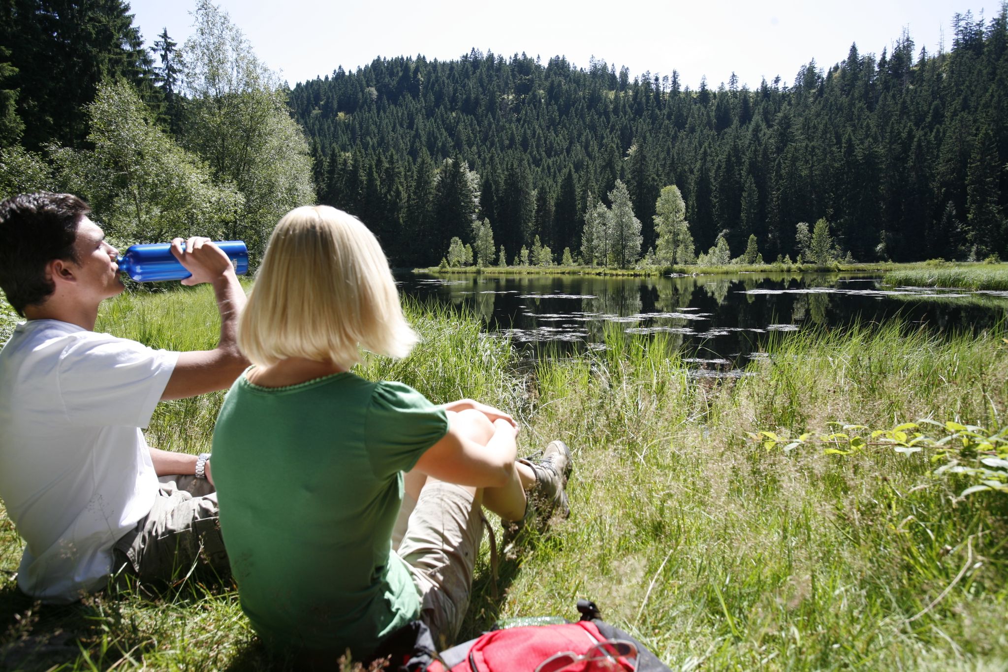
하이킹 천국을 통해 독일 바이에르스브론의 죨라일 트레일 - 블랙 포레스트
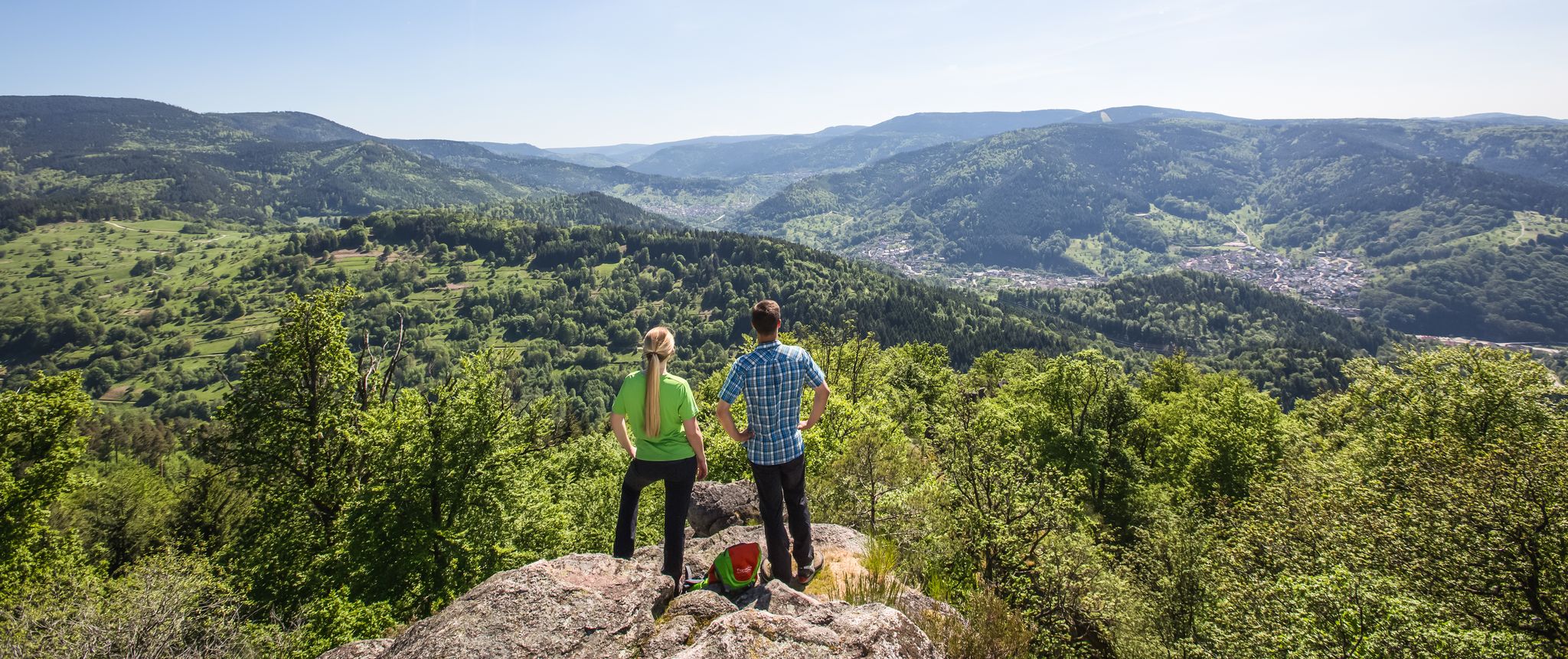
Experience the diverse Murg Valley in 5 stages – Murgleiter Trail
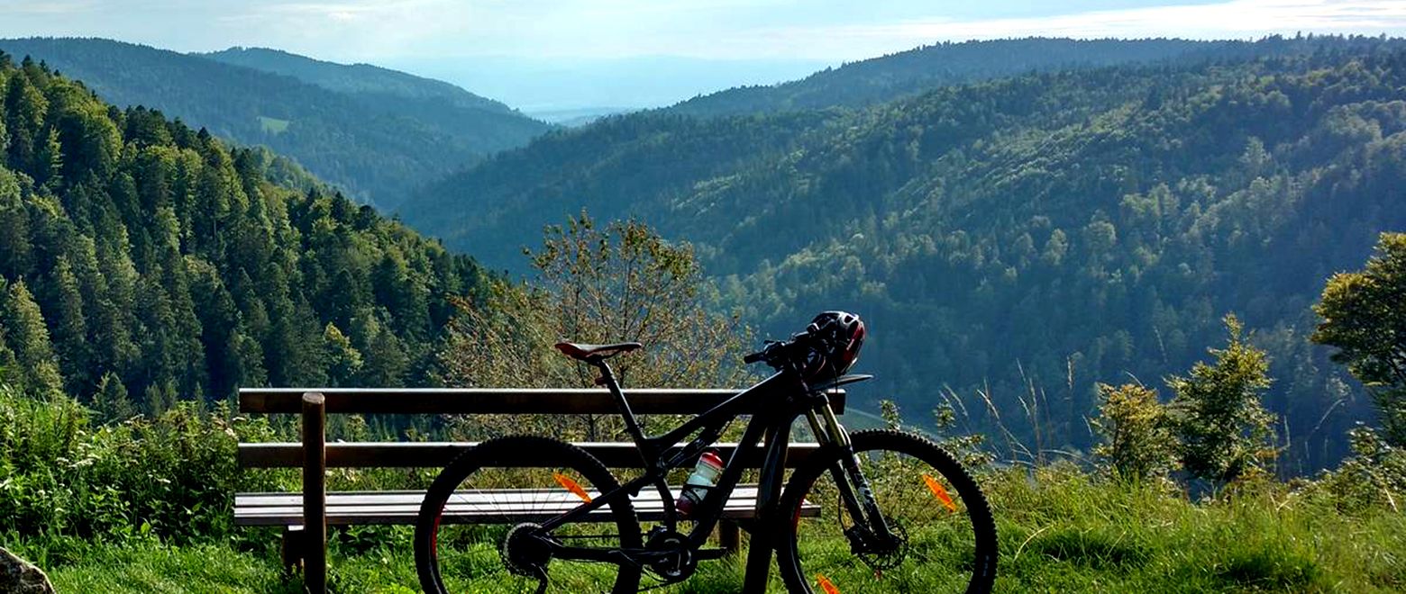
북쪽에서 남쪽으로 여덟 날 동안 - 블랙 포레스트 크로싱
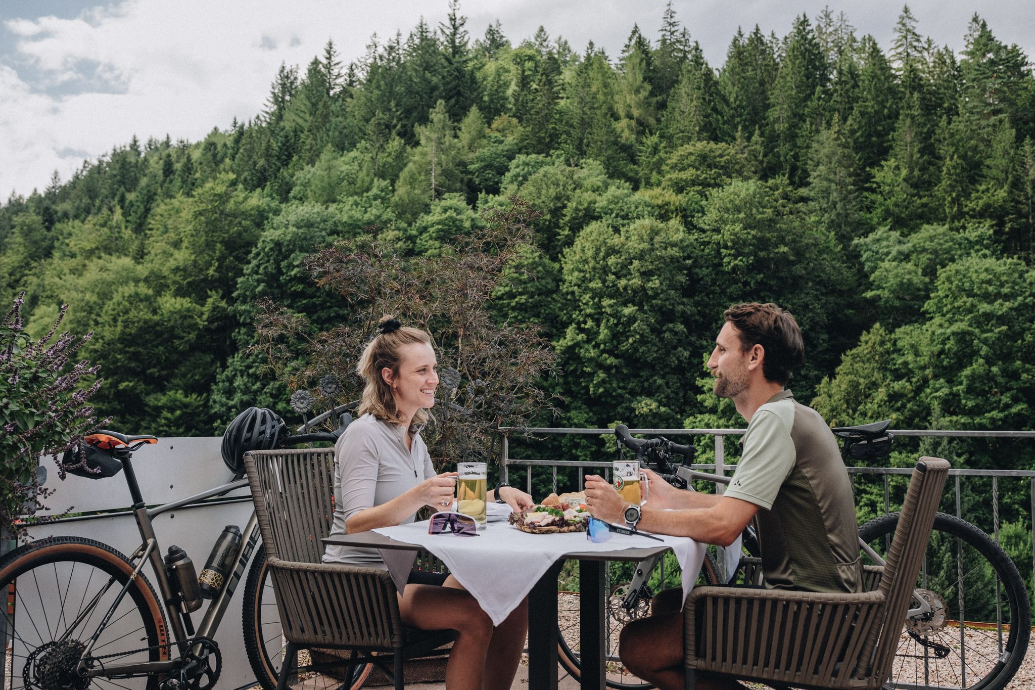
Feast, ride and discover – cycling and pleasure in the Black Forest
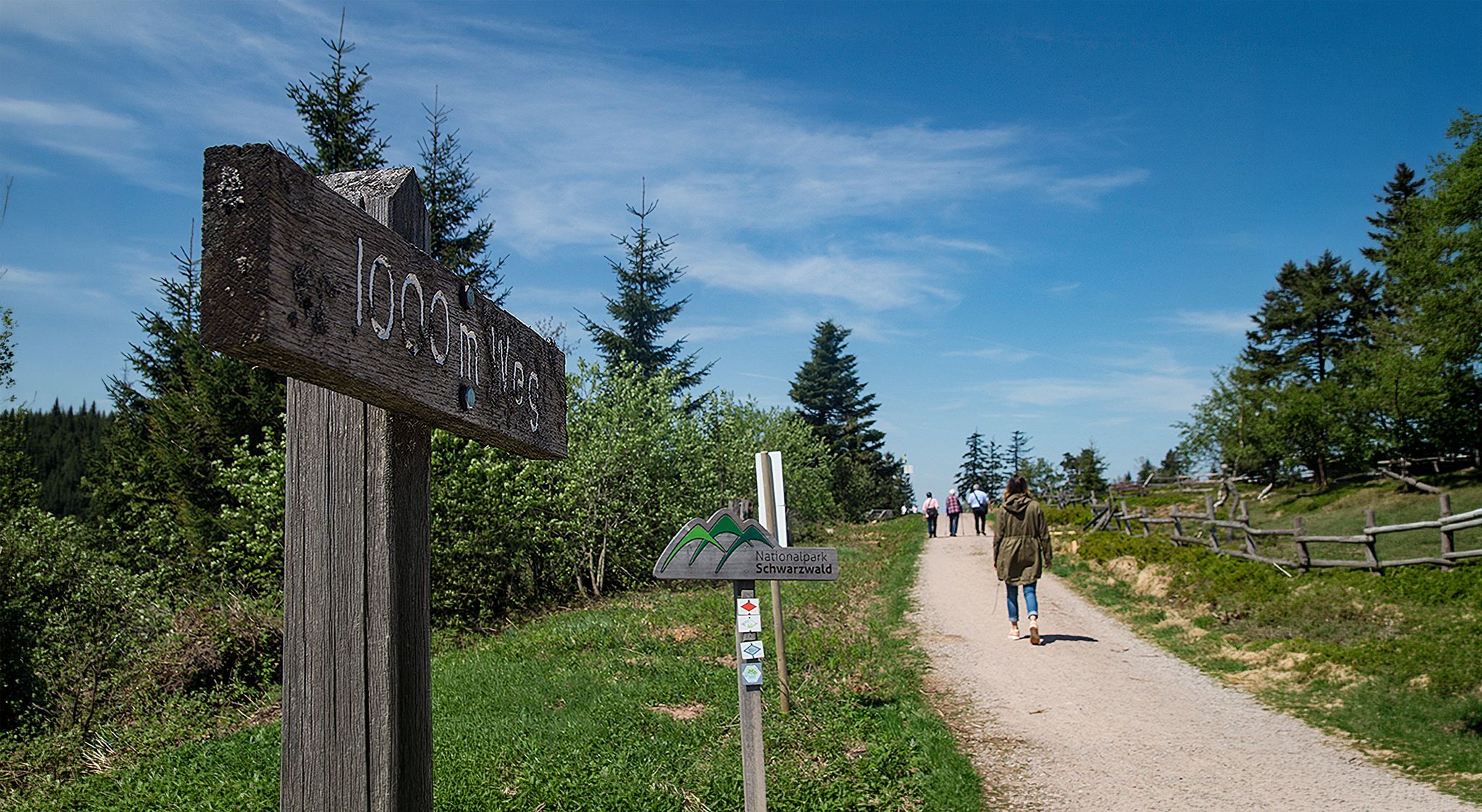
Barrier-free hikes in the Black Forest National Park
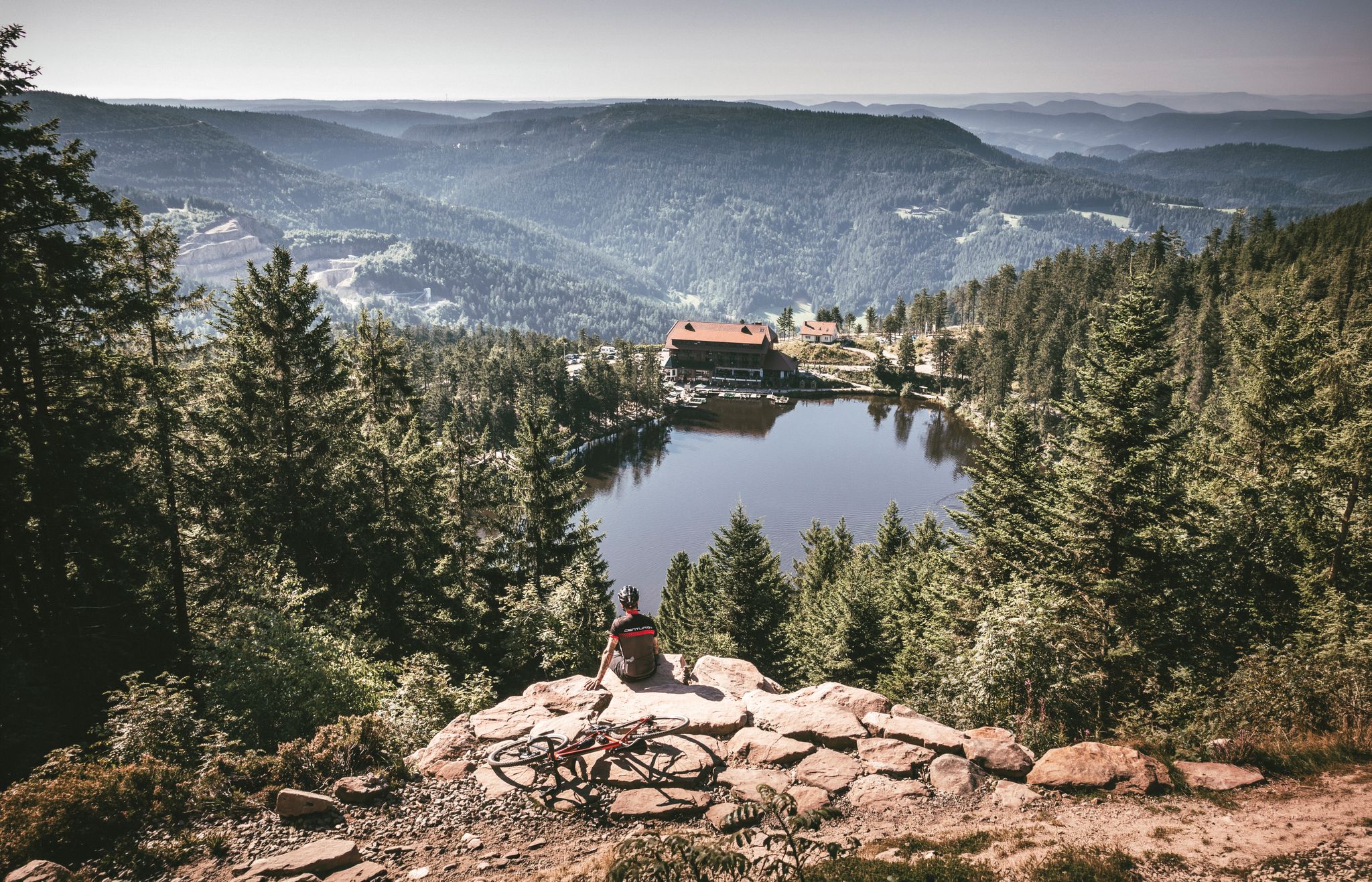
Your Gravel Summer – refreshing rides in the Black Forest
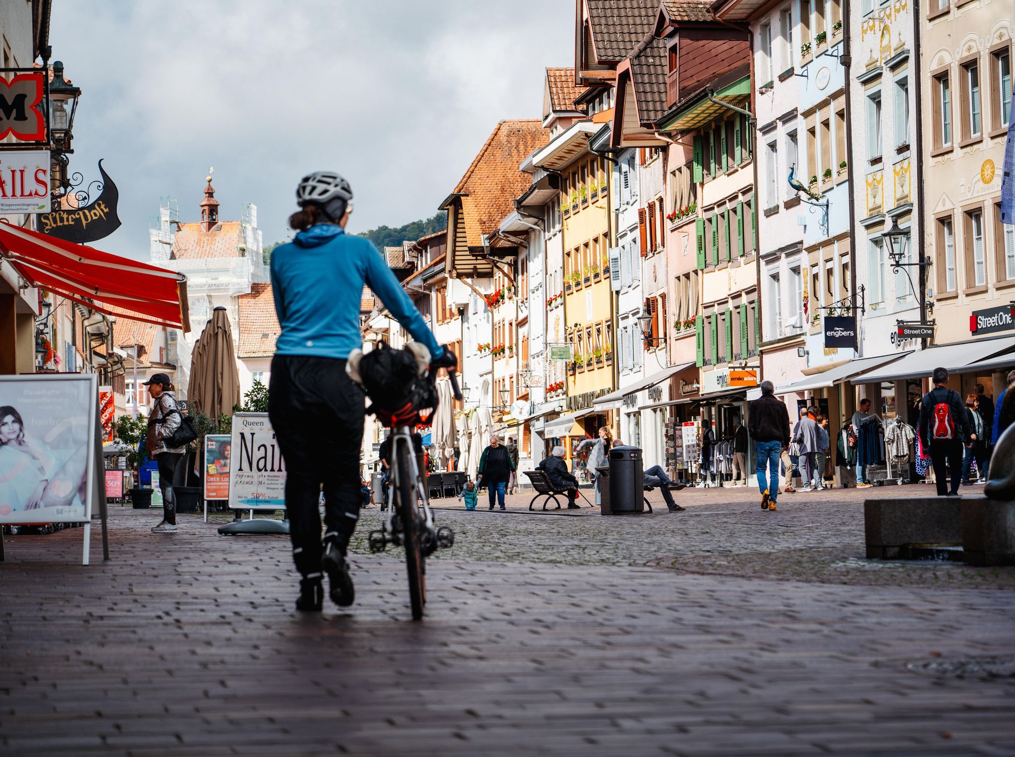
Adventure on two wheels – overnight cycling trips in Baden-Württemberg
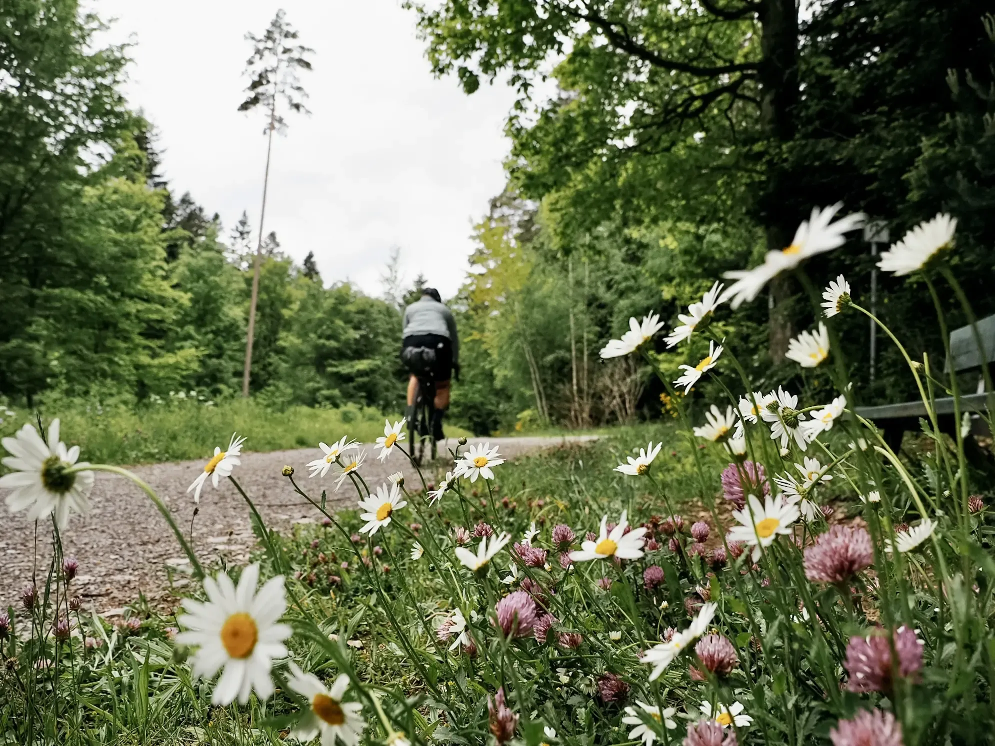
Naturparke-Gravel-Crossing: bikepacking in Baden-Württemberg
Dreaming in the valley – low-lying spring trails in the Black Forest

Coolcation in the Black Forest – hiking and cooling off in summer


커뮤니티 팁

매끄럽고, 일정하게 가파르며 차 없는 도로를 따라 오르는 훌륭한 오르막길입니다. 전망대 위에는 다시 사람들이 많지만, 오르는 동안에는 온전히 혼자입니다.
0
0

„Tour de Murg“)는 북부 슈바르츠발트에서 라인 평원까지 이어지는 약 60~65km 길이의 자전거 도로입니다.
3
0


The Dreifürstenstein (Three Princes' Stone) is a historic boundary stone in the Northern Black Forest, near the Alexanderschanze. It formerly marked the meeting point of the borders of three territories: the Duchy of Württemberg, the Margraviate of Baden, and the Prince-Bishopric of Strasbourg. Dating from the 18th century, the stone is an important testament to the territorial history of the Black Forest. Today, it is a cultural monument and a popular destination for hikers and history enthusiasts.
0
0

It could be so beautiful: good road surface, peaceful nature, a pleasant, consistent incline. Access for motor vehicles is actually only permitted with a "special permit"—but there seem to be a lot of them (it is, after all, a convenient shortcut). Even with just a handful of vehicles, it gets a bit annoying, because the road often only accommodates one modern car (not to mention the trucks that use it during the logging season), and places to pull over are scarce. This means: pull onto the verge and let them pass (if you haven't already been overtaken with only 5 cm of clearance), which, of course, disrupts the flow of traffic. A radar like the Varia is helpful; otherwise, you're constantly looking behind you, paranoid. The official speed limit here is 30 km/h (realistically more of a "recommendation"), but the cars approach much faster. Going downhill, due to the aforementioned road width, it would be quite narrow when there's oncoming traffic, and the cars would block each other. I like the route and will probably continue to drive it from time to time depending on my mood, but unfortunately I can't wholeheartedly recommend it.
0
0


더 살펴보기
다른 지역의 최고의 로드 사이클링 경로를 살펴보세요.
