도마트/엠스 최고의 워킹 & 하이킹 경로
4.4
(106)
701
등산객
47
하이킹
정확한 경로를 찾는 것이 때로는 어렵지만 도마트/엠스에서 하이킹을 하면 다양한 경치를 마음껏 감상할 수 있답니다. 도마트/엠스에서 가장 멋진 하이킹과 워킹 중에서 마음에 드는 활동을 시작해보세요.
마지막 업데이트: 9월 15, 2026
4.7
(23)
81
등산객
6.68km
01:52
130m
130m
초급용 하이킹. 모든 체력 수준에 적합. 실력과 관계없이 누구나 쉽게 갈 수 있는 길.
5.0
(5)
72
등산객
12.5km
03:36
270m
270m
보통 하이킹. 좋은 체력 필요. 실력과 관계없이 누구나 쉽게 갈 수 있는 길.

4.6
(8)
34
등산객
17.8km
04:56
280m
280m
보통 하이킹. 좋은 체력 필요. 대부분 갈 수 있는 길. 미끄러지지 않게 조심해야 함.
3.7
(6)
44
등산객
8.68km
02:13
30m
30m
보통 하이킹. 좋은 체력 필요. 실력과 관계없이 누구나 쉽게 갈 수 있는 길.
5.0
(3)
32
등산객
15.7km
05:24
790m
790m
어려운 하이킹. 우수한 체력 필요. 실력과 관계없이 누구나 쉽게 갈 수 있는 길.
더 다양한 경로와 다른 탐험가들의 추천을 살펴보세요.
이미 komoot 계정이 있나요?
투어 추천은 다른 사람들이 komoot에서 완료한 수천 개의 활동을 바탕으로 구성되어 있습니다.



커뮤니티 팁


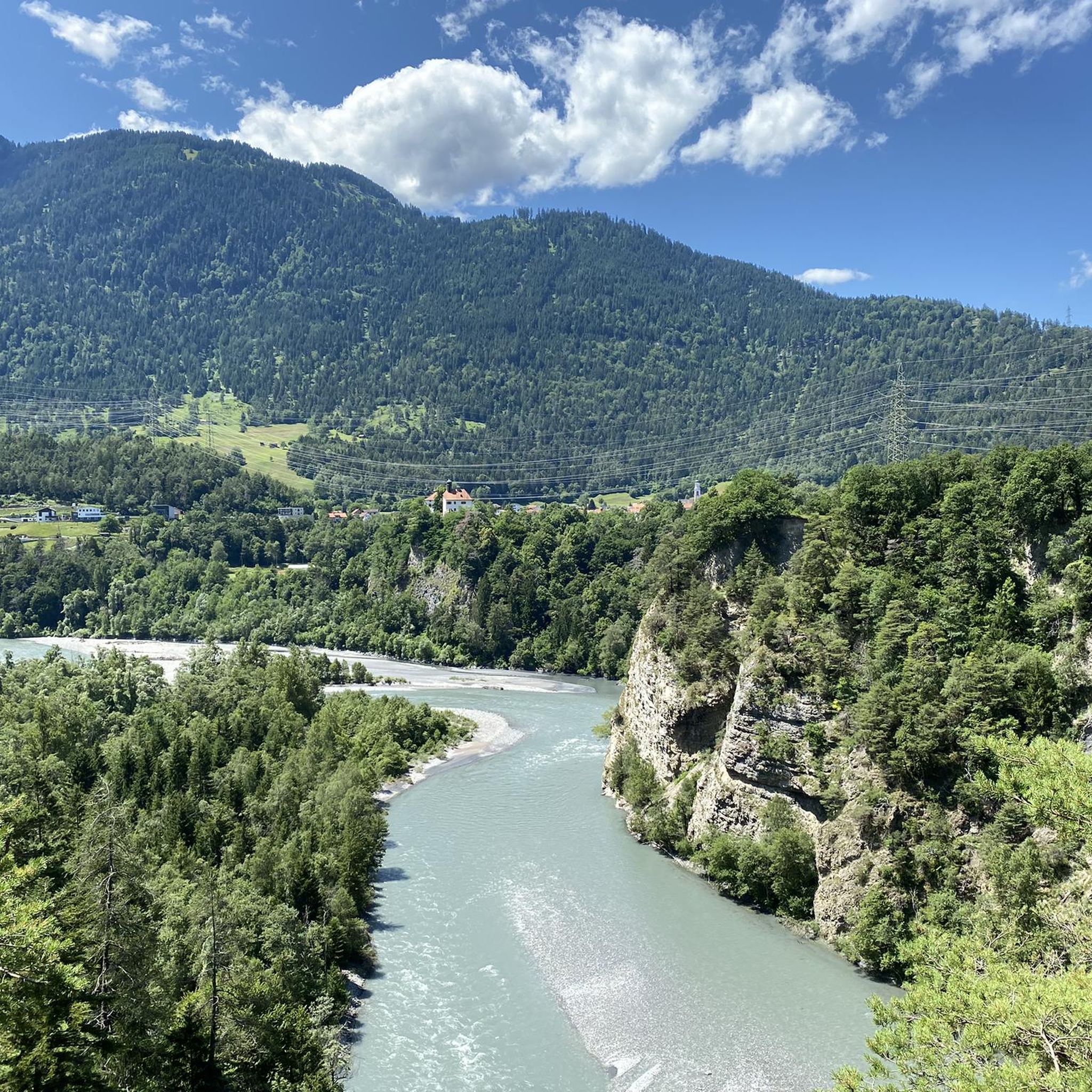
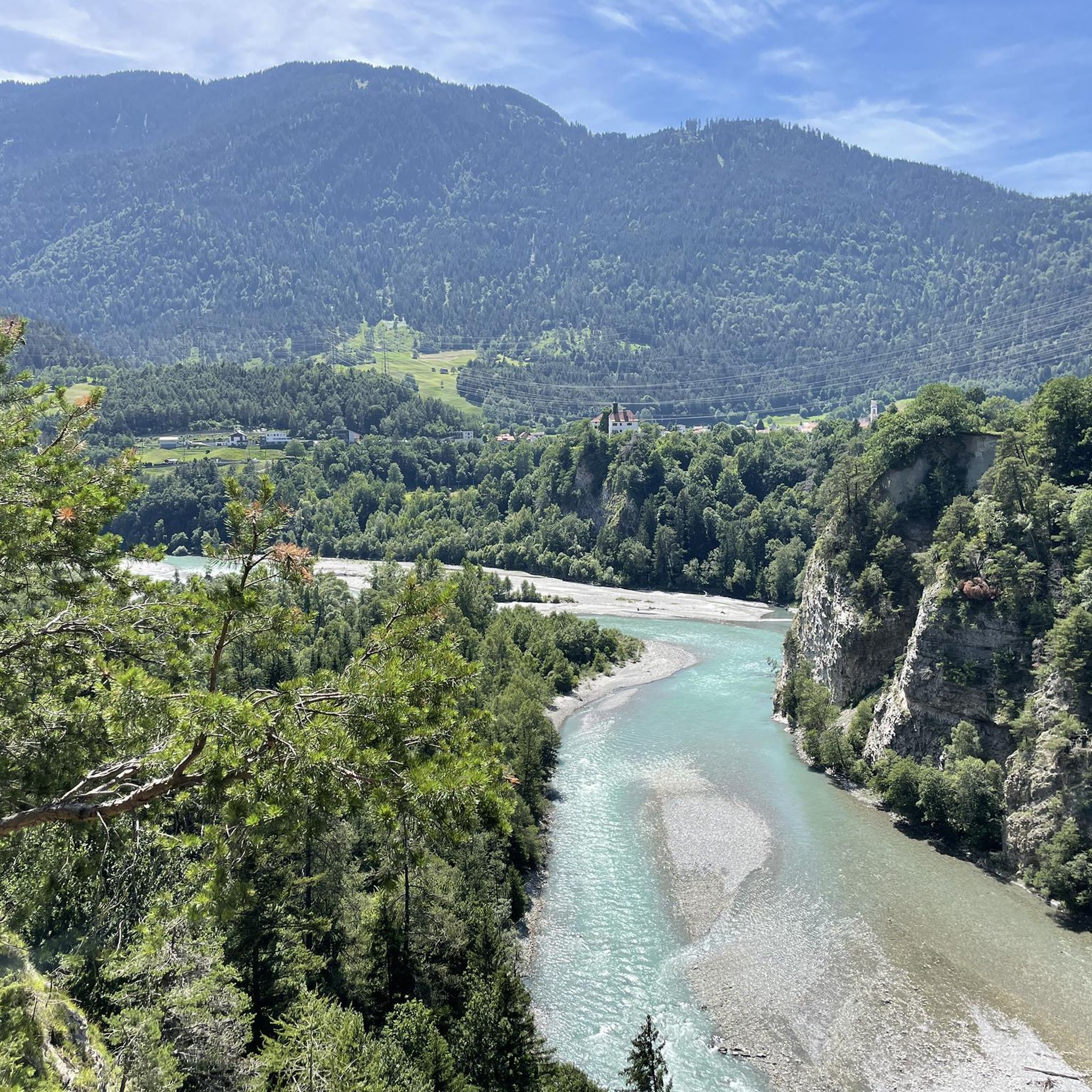
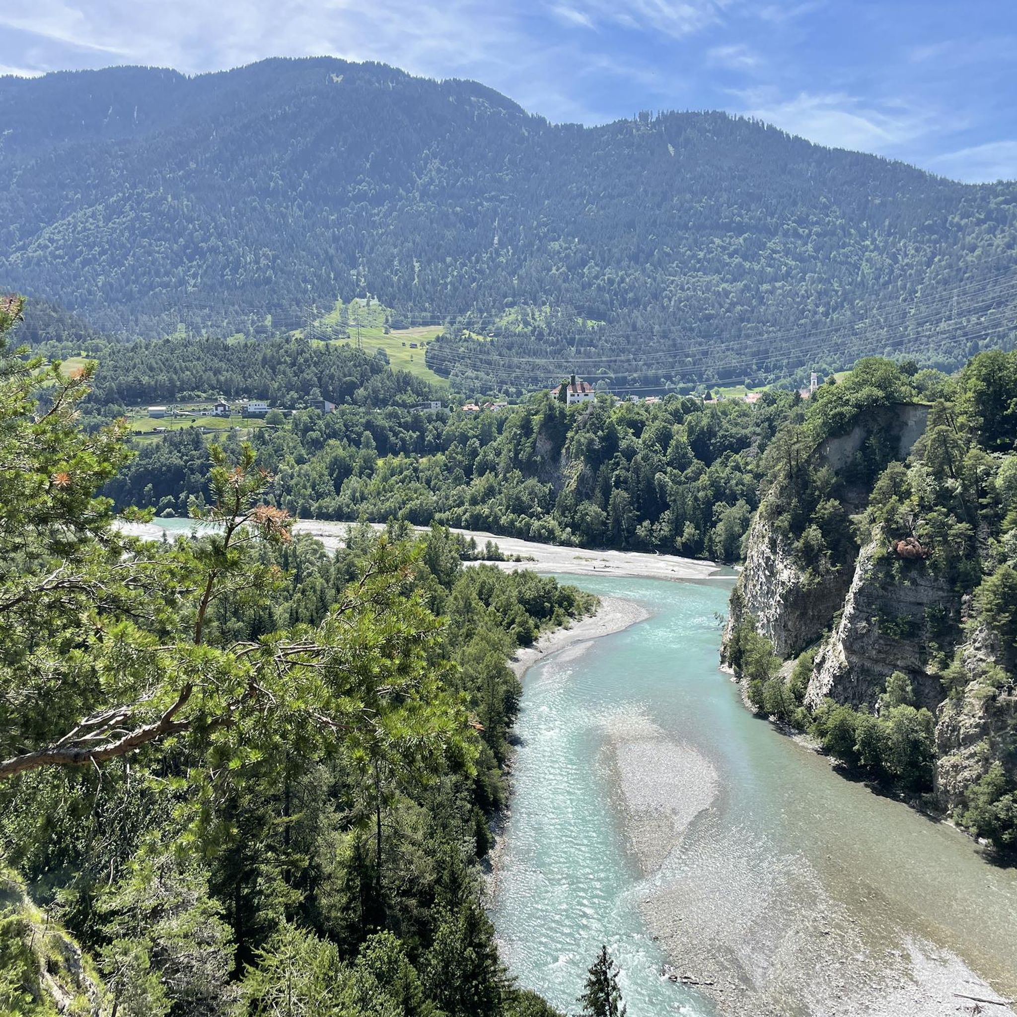
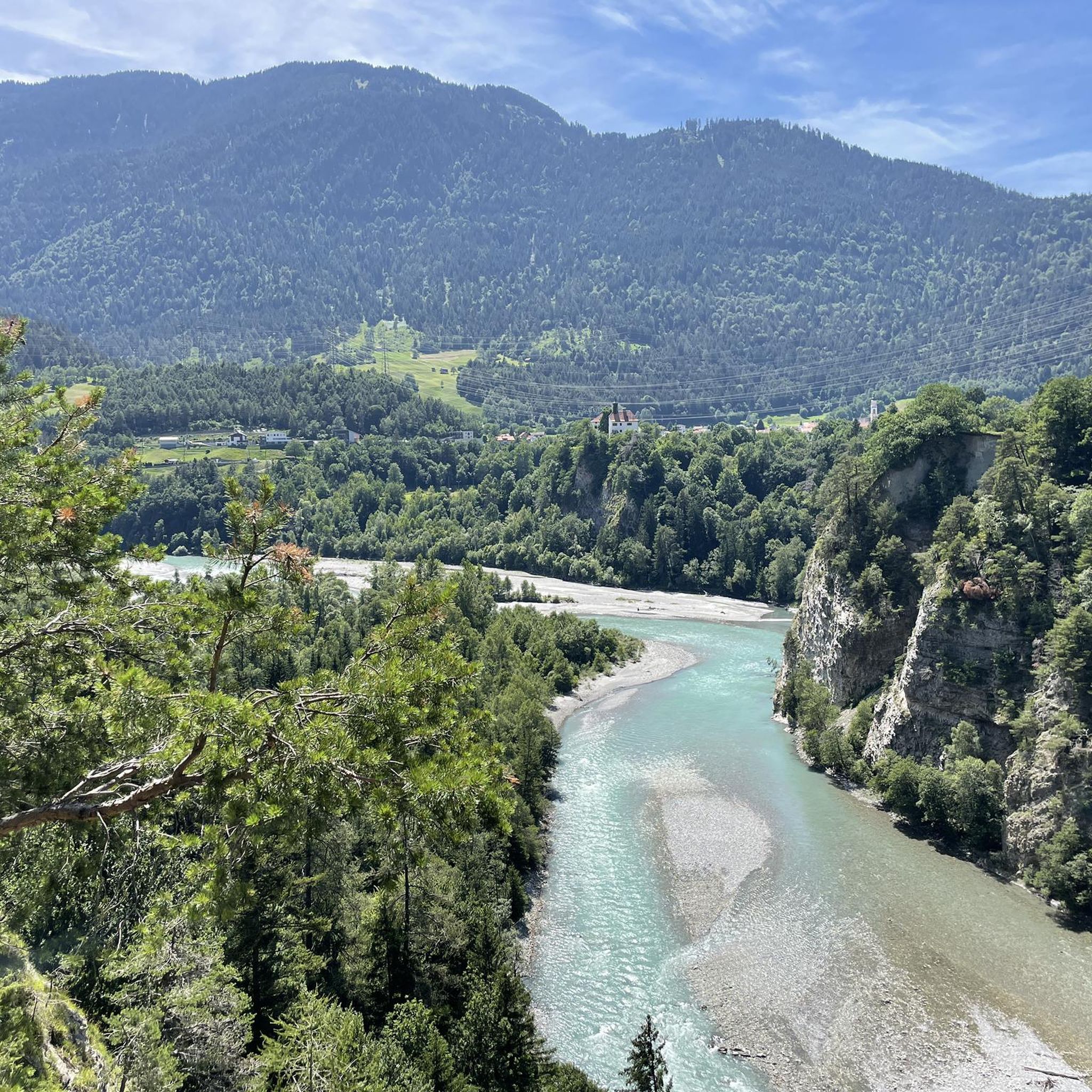
The path is beautiful, even though it continues south, crossing the river under the motorway bridge. At least you can then walk back along the left bank of the river, completing a loop.
0
0
The history of the castle continued after its purchase by the Swiss expatriate community. In 1958, Hovag Domat/Ems, under Dr. Werner Oswald, bought Rhäzüns Castle. Since 1984, it has been owned by Ems-Chemie AG, with residential rights granted to the family of Silvia and Christoph Blocher. Therefore, it is not possible to visit the castle.
0
0
This path is just as beautiful as the Polish Trail on the other side of the river, except that it's not a road.
0
0

A place of power in a special class
0
0

Ruinaulta Rhine Gorge The Ruinaulta, or Rhine Gorge, is a gorge of the Vorderrhein River, up to 400 meters deep and approximately 13 kilometers long, between Ilanz and the mouth of the Hinterrhein River near Reichenau in the canton of Graubünden in Switzerland. The Romansh name 'Ruinaulta' is composed of the two words ruina (scree slope, quarry) and aulta (high). The Ruinaulta was formed after the Flims Landslide almost 10,000 years ago. At that time, over 10 billion cubic meters of rock broke off between the Flimserstein and Piz Grisch, burying the Vorderrhein Valley between the present-day villages of Castrisch and Reichenau under a mass of debris several hundred meters thick. Because the Vorderrhein River could no longer drain away, a lake was dammed over a length of approximately 25 kilometers. Over time, the river cut deep into the landslide, and the resulting lake drained away completely. What remained was the Ruinaulta, with its steep limestone scree cliffs in impressive erosion formations. Text / Source: Wikipedia https://de.wikipedia.org/wiki/Ruinaulta
16
0


