4.6
(887)
2,343
자전거 타는 사람
305
라이딩
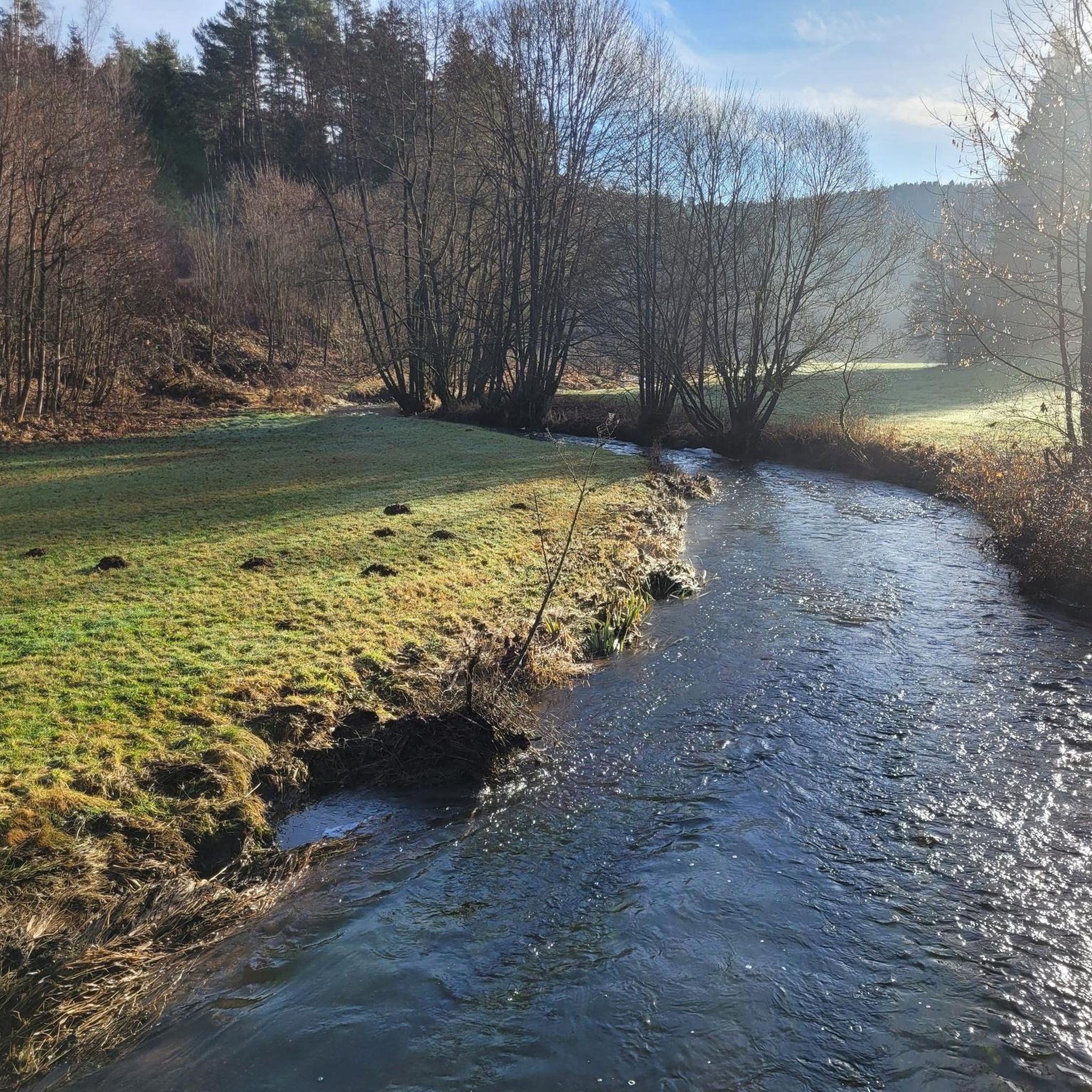
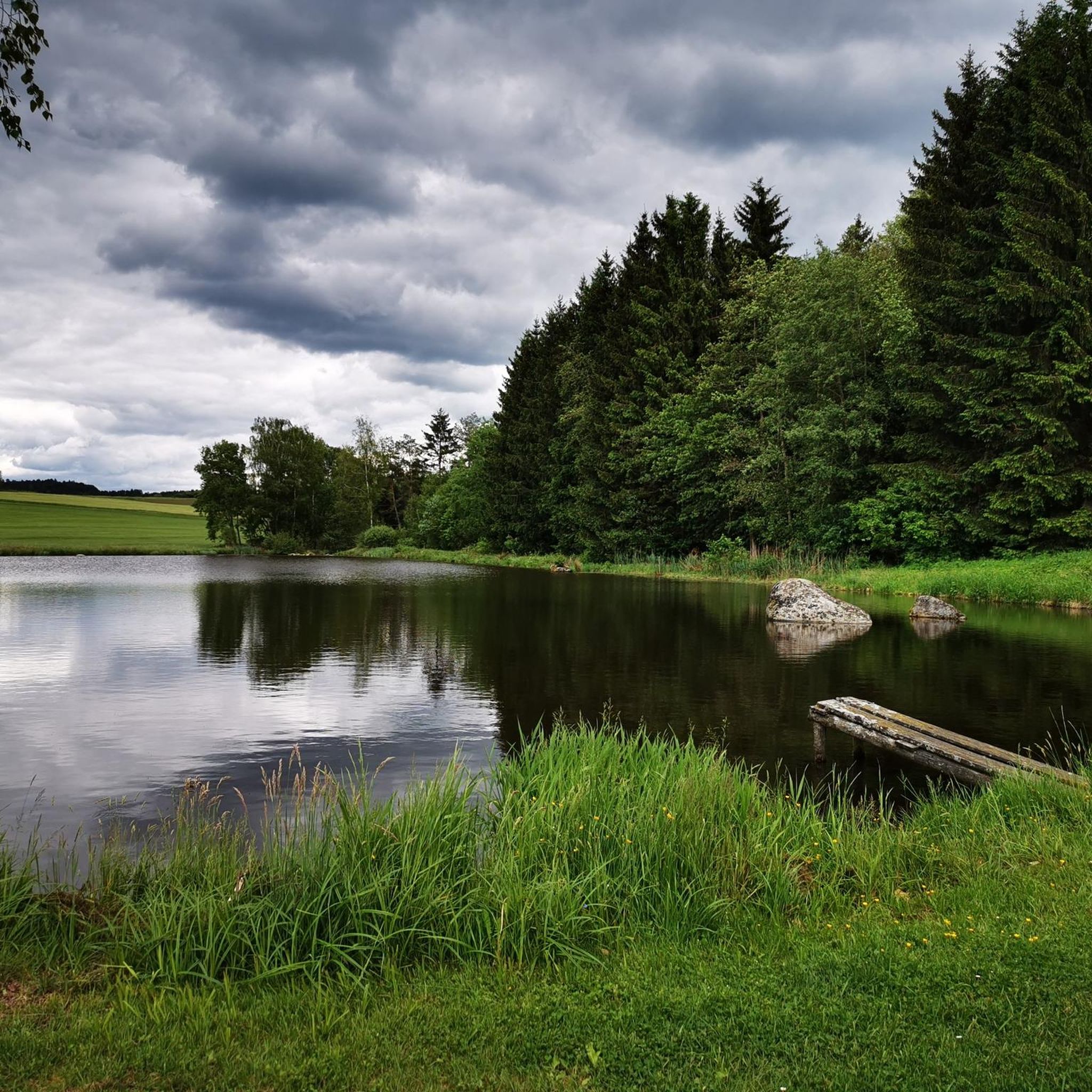
디터스커르헨 주변의 산악자전거 코스는 구릉지대와 숲이 우거진 지역으로 특징지어지는 풍경을 제공하며, 사이클리스트에게 다양한 지형을 선사합니다. 이 지역에는 수많은 계곡과 높은 지대가 있으며, 루트는 종종 숲과 탁 트인 들판을 가로지릅니다. 슈바르차흐 강 계곡과 아이셴도르퍼 저수지는 주목할 만한 자연적 특징입니다. 많은 트레일에서의 고도 상승은 지역 지형을 가로지르는 역동적인 라이딩 경험을 시사합니다.
마지막 업데이트: 5월 20, 2026
3.0
(2)
7
자전거 타는 사람
25.4km
01:57
360m
360m
보통 산악 자전거 타기. 좋은 체력 필요. 실력과 관계없이 누구나 갈 수 있음.
7
자전거 타는 사람
36.5km
03:02
610m
610m
보통 산악 자전거 타기. 좋은 체력 필요. 뛰어난 라이딩 실력이 필요함.

무료 회원 가입
4.0
(1)
6
자전거 타는 사람
30.4km
02:24
520m
520m
보통 산악 자전거 타기. 좋은 체력 필요. 실력과 관계없이 누구나 갈 수 있음.
5
자전거 타는 사람
24.1km
01:42
300m
300m
보통 산악 자전거 타기. 좋은 체력 필요. 실력과 관계없이 누구나 갈 수 있음.
7
자전거 타는 사람
16.3km
01:18
170m
170m
어려운 산악 자전거 타기. 모든 체력 수준에 적합. 뛰어난 라이딩 실력이 필요함. 투어 중 자전거를 끌고 가야 하는 구간이 있을 수 있음.
더 다양한 경로와 다른 탐험가들의 추천을 살펴보세요.
무료 회원 가입
이미 komoot 계정이 있나요?
투어 추천은 다른 사람들이 komoot에서 완료한 수천 개의 활동을 바탕으로 구성되어 있습니다.
오늘 무료 계정으로 시작하세요
다음 모험이 기다리고 있어요.
로그인 또는 가입하기
It's a great place for a short break. Shade and benches are perfect.
1
0
Old train station of Oberviechtach, where the Bavarian-Bohemian cycle path also passes.
0
0
Castle ruins Haus Murach "Gerunc de Mourach" appears for the first time in a document in 1110. At that time he accompanied his feudal lord, the powerful Count Berengar II of Sulzbach, on the Italian campaign of Berengar's protégé, King Henry V. After the male line of the Sulzbach family died out, the Counts of Ortenburg inherited part of their dominion with the main towns of Warberg (Burgstall near Neunburg) and Murach in 1188. Later, the Ortenburgers even called themselves Counts of Murach. The ministerial family with the leading name Gerunc remained present in Obermurach. From 1268 to 1272, Obermurach was sold to the Upper Bavarian Duke Ludwig in a series of contracts. The castle was continually expanded and became famous for its stability; the Hussites besieged it in 1428 and 1433, but were unable to take it. During the course of the 14th century, the Murachers spread out to several castles in the Upper Palatinate region, for example to Thanstein or to Flügelsberg in the Altmühl valley. In 1489, Albrecht von Murach was a member of the Löwler uprising against the Bavarian duke. Obermurach survived these turbulences and even the Thirty Years' War relatively unscathed, but this can be explained by the fact that it had lost its military importance by then. In 1805, Obermurach, which was still well preserved at the time, was partially demolished and the stones used to build houses in the village. It was only secured from 1842 by the Oberviechtach district court; today it belongs to the Free State of Bavaria. You enter the extensive outer bailey through a simple gate, which is surrounded by a still well-preserved, high ring wall. It was mainly used for utility and residential buildings. The older inner bailey, which is located a little higher up, is on the east side of the complex. A 2 m thick shield wall shields it from the attack side in the south. The main castle is dominated by the 20 m high, square keep and a large tower-like residential building. The keep, with an entrance at a height of 8.5 m, was built in the lower part from large, regular granite blocks and probably dates from the 13th century. The castle chapel was probably located to the southwest of the keep, and the remains of a semicircular wall tower can be seen to the west. Source: Extracts from www.burgenseite.de
3
0
다른 지역의 최고의 MTB 트레일를 살펴보세요.