스루크로스 저수지 최고의 워킹 & 하이킹 경로
4.5
(2207)
20,093
등산객
10
하이킹
스루크로스 저수지 최고의 하이킹과 워킹을 찾으시나요? 그렇다면 아름다운 해러게이트 호수 주변에 있는 경로 컬렉션을 아래에서 살펴보세요. 스루크로스 저수지에 있는 하이킹 트레일 중에서 마음에 드는 곳을 선택해 언제든지 야외 활동을 하면 돼요.
마지막 업데이트: 10월 10, 2026
4.5
(22)
183
등산객
7.54km
02:00
70m
70m
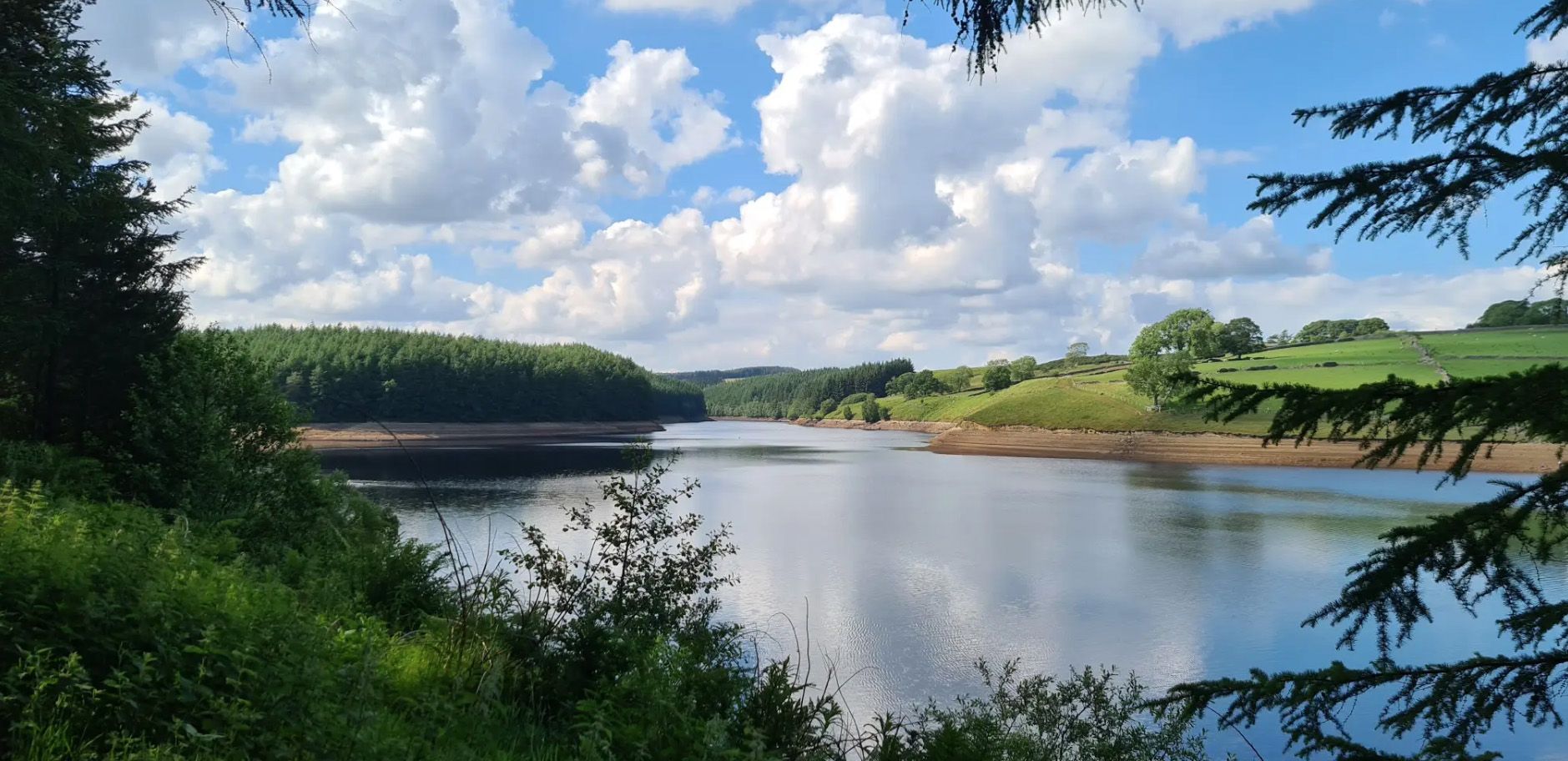
Embark on the Thruscross Reservoir and Cloggers Lane loop, an easy hike that takes you around the tranquil waters of Thruscross Reservoir. This circular route spans 4.7 miles (7.5 km)…
4.7
(9)
39
등산객
21.4km
05:53
360m
360m
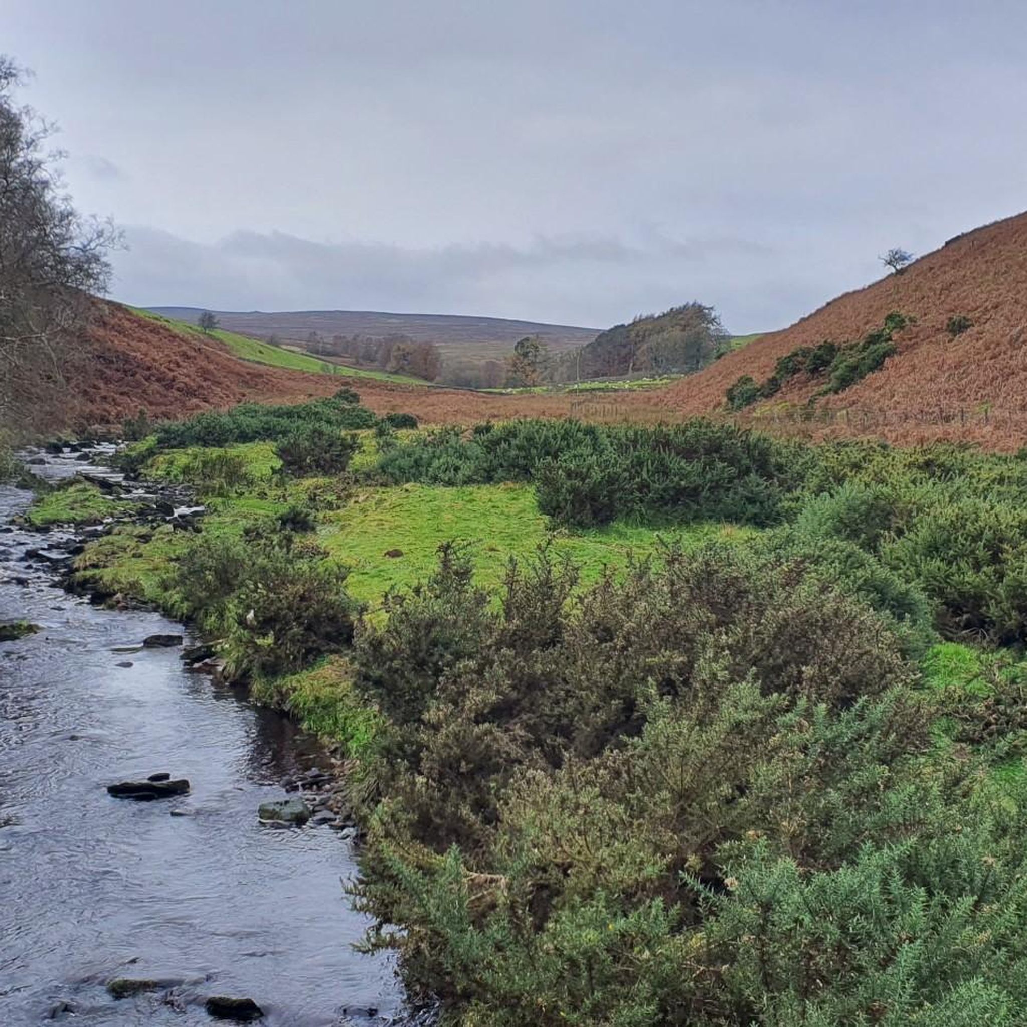
Embark on a challenging yet rewarding hike through the varied landscapes of Nidderdale with the Simon's Seat and Rocking Hall loop. This difficult 13.3-mile (21.4 km) route, featuring an elevation…

5.0
(6)
67
등산객
14.0km
03:46
180m
180m
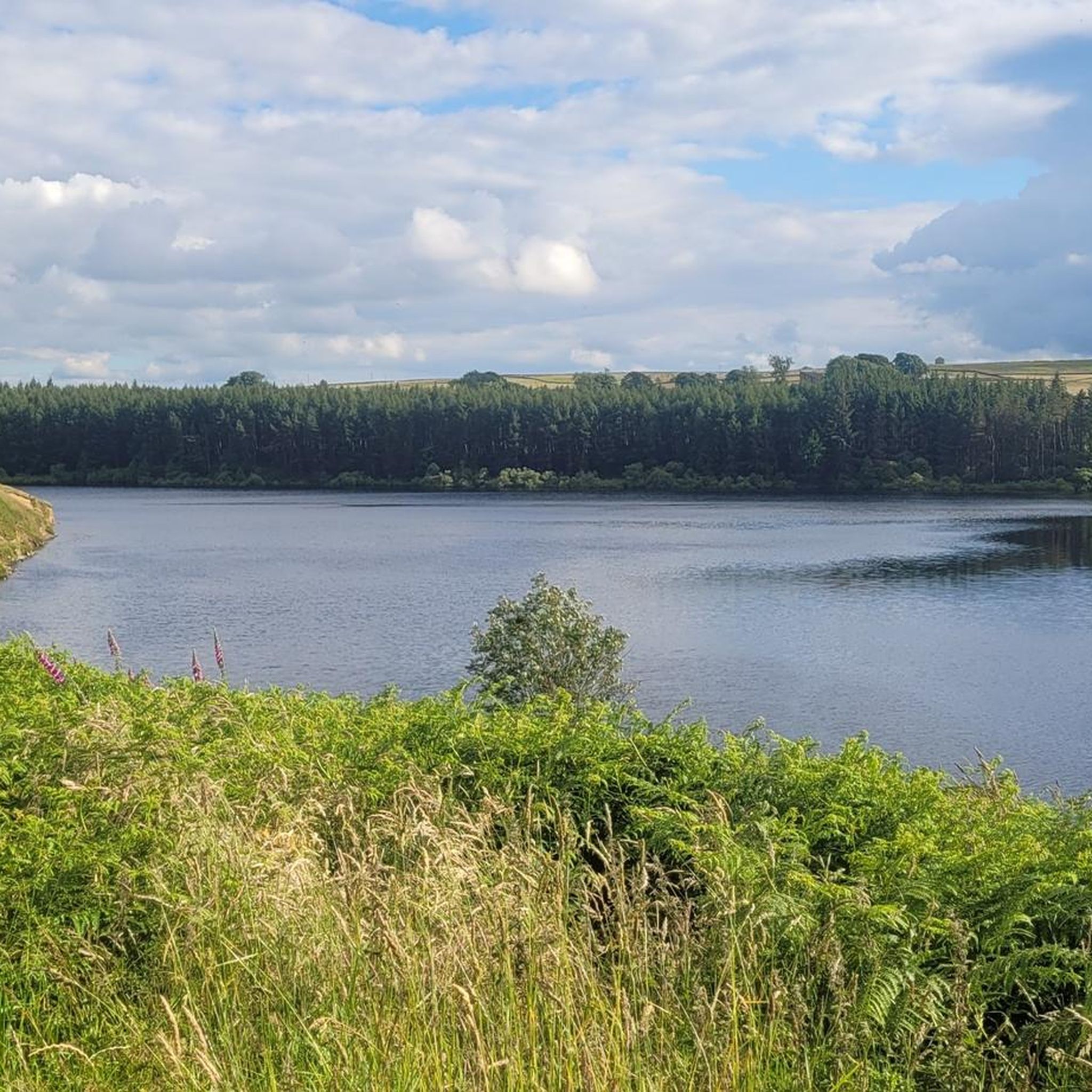
보통 하이킹. 좋은 체력 필요. 실력과 관계없이 누구나 쉽게 갈 수 있는 길.
4.2
(5)
30
등산객
5.59km
01:32
90m
90m
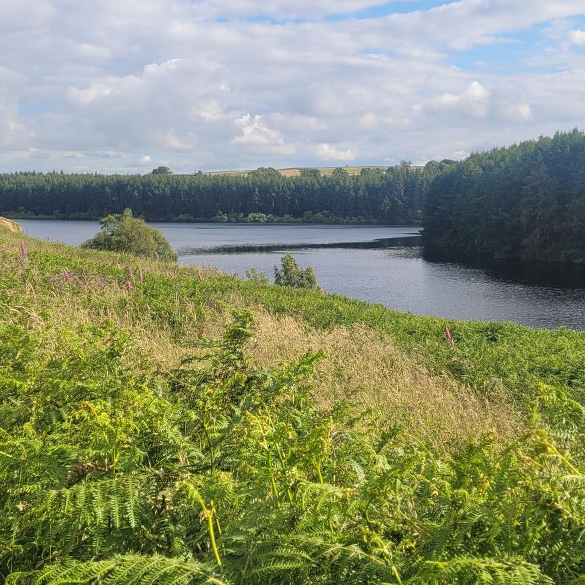
초급용 하이킹. 모든 체력 수준에 적합. 실력과 관계없이 누구나 쉽게 갈 수 있는 길.
2.0
(1)
13
등산객
4.09km
01:04
20m
20m
초급용 하이킹. 모든 체력 수준에 적합. 실력과 관계없이 누구나 쉽게 갈 수 있는 길.
더 다양한 경로와 다른 탐험가들의 추천을 살펴보세요.
이미 komoot 계정이 있나요?
투어 추천은 다른 사람들이 komoot에서 완료한 수천 개의 활동을 바탕으로 구성되어 있습니다.
오늘 무료 계정으로 시작하세요
다음 모험이 기다리고 있어요.
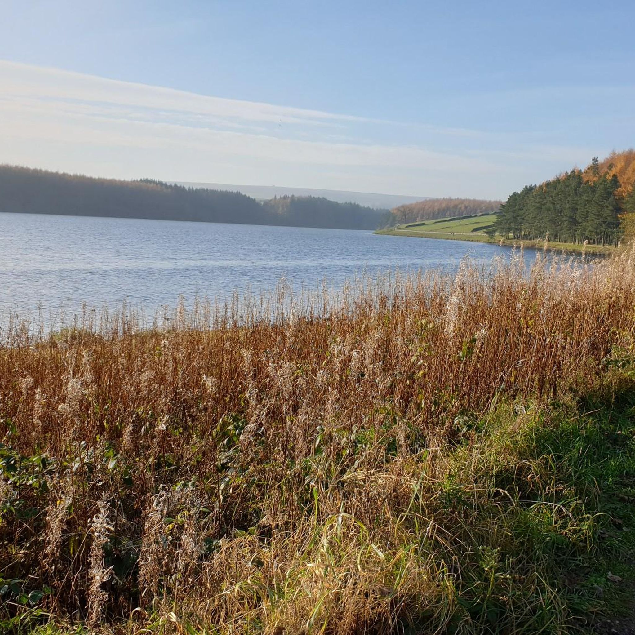
스루크로스 저수지 주변의 다른 모험

커뮤니티 팁


Great views of the moorland to the north, and fairly easy tracks traverse this area on the route around Thruscross Reservoir.
1
0
Imposing and deserted building overlooking the northern end of Thruscross Reservoir. Recorded by the Yorkshire Vernacular Buildings Group in 1976: "The 1841 census return shows it to have been occupied by a young unmarried woman called Ann Young farming over 200 acres; a family with the same surname contemporaneously occupied Whit Moor Farm with a similar acreage."
1
0
Undoubtedly the most scenic of the Washburn reservoirs with the moorland backdrop to the north. The circular route around the reservoir from the car park is about 5 miles, the track on the southwestern side runs along the edge of plantations and offers some shade from the sun and shelter from the elements. The track on the northeastern side is more exposed, and if you do the whole circuit you will cross over Far Comb Hill and the plantation along the edge of the reservoir at Whit Moor - a great route.
0
0
Cracking location from which to explore. Reasonably well-sized car park at Blubberhouses. Head south to walk around Fewston and Swinsty Reservoirs along very easy and well-maintained tracks, or even better, head north up the River Washburn for a serene woodland walk along the babbling river's edge, to eventually pop out at the very imposing face of Thruscross Reservoir dam.
0
0
Delightful walk along the River Washburn between Thruscross Reservoir and Blubberhouses. Easy track to follow along the river's edge, in parts it is a wide gravel track with very easy going, although it does eventually become more of a rabbit-path, narrow in places and riddled with tree routes.
1
0
Fair sized and well-maintained car park with space for at least 30-40+ vehicles. Few picnic tables at the south-eastern end of the car park. There is also space for a few cars if you park off-road next to Thruscross Reservoir Lodge, on Reservoir Road on the eastern side of the dam, but these spots tend to fill up quickly.
1
0
If you are enthusiastic enough to walk around all three reservoirs (Thruscross, Fewston, and Swinsty), clocking in at 15 miles, then you will see that Thruscross has the most spectacular dam of the three. If you follow the track from the car park at the western end of the dam, to the south towards the River Washburn, a track that descends quite steeply, then you will be rewarded with imposing views of the face of the dam.
1
0
스루크로스 저수지 주변에서 가장 인기 있는 명소


더 살펴보기
다른 지역의 최고의 하이킹를 살펴보세요.
