슐리에제 최고의 등산 경로
4.7
(1267)
13,523
등산객
275
하이킹
슐리에제에서 하이킹하며 테게른제 - 슐리에제 구석 부분까지 살펴볼까요? 슐리에제에 있는 모든 하이킹 및 워킹 경로 컬렉션 중 가장 멋진 하이킹 경로를 엄선하여 소개해드릴게요. 다른 하이커가 공유한 실제 팁과 사진을 살펴보고 후기를 읽으며 마음에 드는 슐리에제 워킹 경로를 찾아보세요.
마지막 업데이트: 10월 21, 2026
3.0
(1)
64
등산객
5.78km
01:52
260m
260m
초급용 등산 경로. 모든 체력 수준에 적합. 실력과 관계없이 누구나 쉽게 갈 수 있는 길.
4.5
(2)
27
등산객
13.2km
04:24
570m
570m
보통 등산 코스. 좋은 체력 필요. 대부분 갈 수 있는 길. 미끄러지지 않게 조심해야 함.

5.0
(2)
20
등산객
10.0km
03:03
300m
300m
보통 등산 코스. 좋은 체력 필요. 실력과 관계없이 누구나 쉽게 갈 수 있는 길.
5.0
(2)
17
등산객
9.51km
02:55
300m
300m
보통 등산 코스. 좋은 체력 필요. 실력과 관계없이 누구나 쉽게 갈 수 있는 길.
5.0
(2)
25
등산객
8.56km
03:04
420m
420m
보통 등산 코스. 좋은 체력 필요. 대부분 갈 수 있는 길. 미끄러지지 않게 조심해야 함.
더 다양한 경로와 다른 탐험가들의 추천을 살펴보세요.
이미 komoot 계정이 있나요?
투어 추천은 다른 사람들이 komoot에서 완료한 수천 개의 활동을 바탕으로 구성되어 있습니다.
오늘 무료 계정으로 시작하세요
다음 모험이 기다리고 있어요.

커뮤니티 팁

특별한 진미, 멋진 전망, 매우 친절한 주인과 함께하는 아름다운 알펜. Almbad Huberspitz 개요: - 위치: 뮌헨 남쪽 55km, 해발 1,100m - 수용 인원: 침대 30개, 최대 84명 - 산장에서 직접 혼인 신고 가능 - 이상적인 장소: 결혼식, 회의, 워크숍 연락처: Almbad Huberspitz Huberspitz 1 83734 Hausham 전화: +49 (0)8026-9296760
0
0


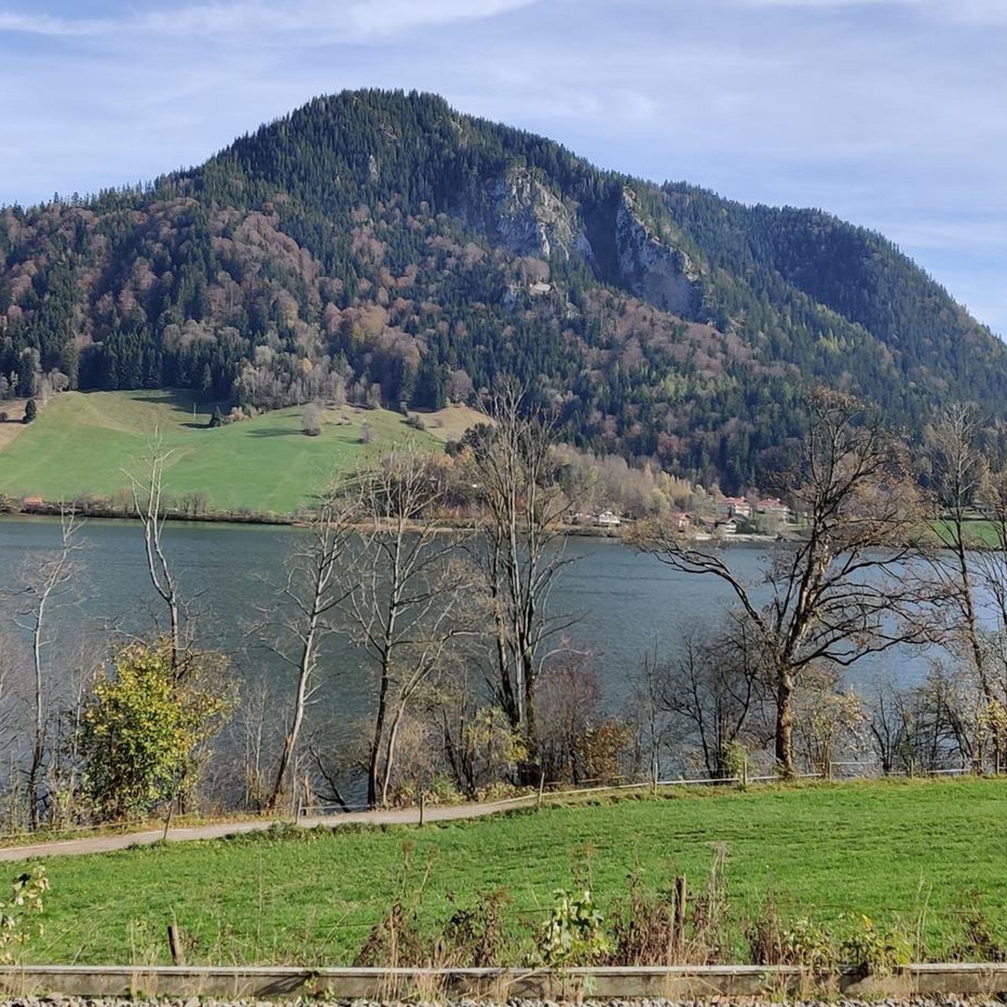
Hiking to the Schliersbergalm is one of the most popular activities at Schliersee and is perfect for a family outing. The serpentine trail winds its way up in 45 minutes and is doable with an (off-road) Thule and the appropriate level of fitness. A stunning view of Schliersee awaits at the top, both in summer and winter. The relatively short route climbs just under 300 meters, but is still very manageable even with moderate fitness.
0
0


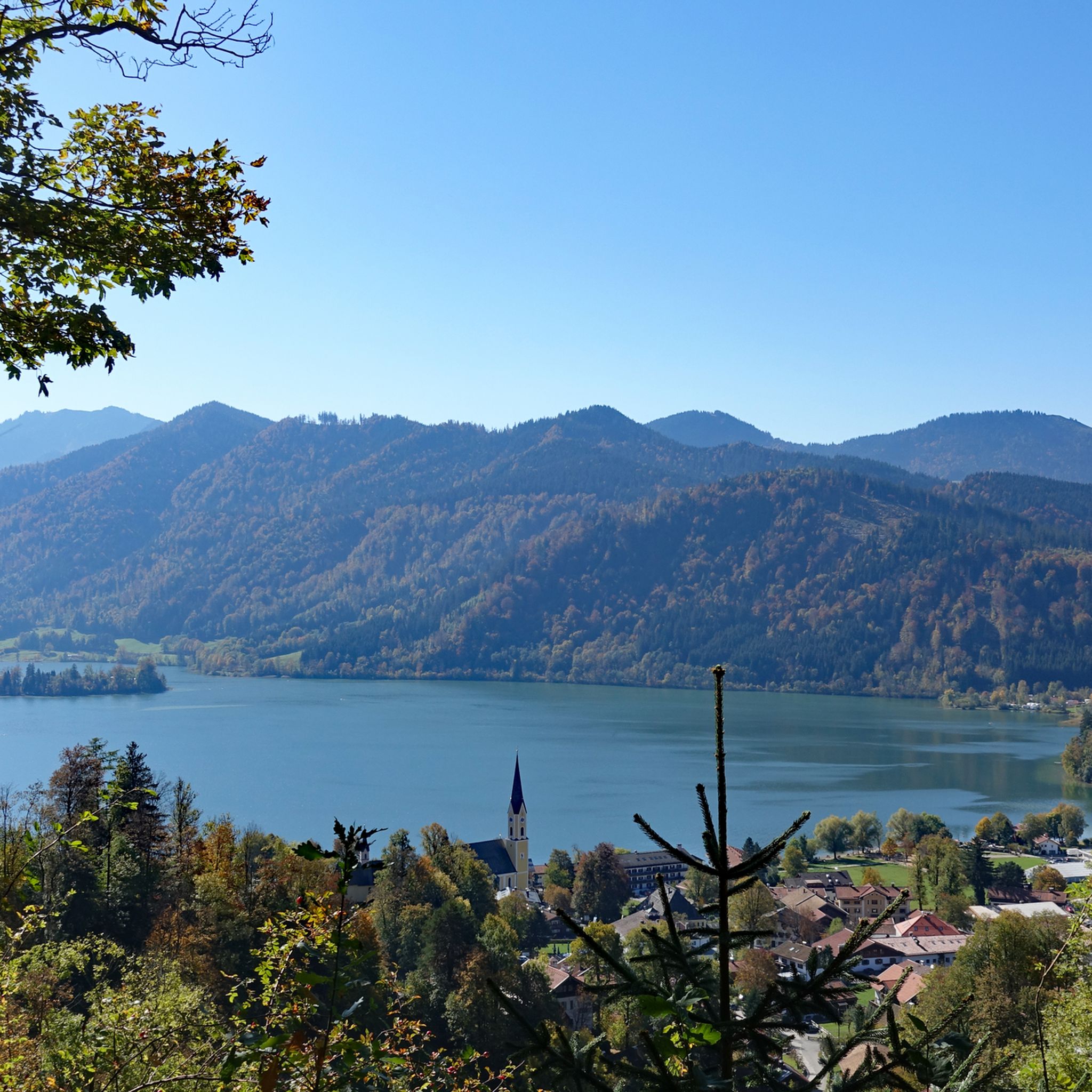
The Hohenwaldeck Castle ruins are well worth seeing because they contain large remains of walls dating back to the High Middle Ages. More important, however, is their stunningly beautiful location high above Schliersee, offering unobstructed views of the lake and the mountains. The Bavarian State Forests have carefully secured the castle ruins, so that this historic and romantic site can now also be visited with children. The climb to the castle is steep and takes 40 minutes from Fischhaus-Neuhaus. Supplying the castle must have been very difficult in the Middle Ages. Access is now via a new wooden bridge, and large sections of the shield wall with some rusticated blocks can still be seen. This makes it easy to narrow down the first construction phase to the second half of the 13th century, the Staufer period. Several new benches have been installed, and the short path down to the viewing point is definitely worth the effort. It offers a fantastic view of Schliersee and the surrounding mountains.
10
0


The Oberlandstadion, built between 1946 and 1948, is located at the foot of the Freudenberg in Schliersee and is a pure natural ice stadium without a refrigeration system. Unfortunately, due to the requirements of the Bavarian Ice Sports Association, league games can no longer be played in a natural ice stadium. The stadium is therefore only used for training and friendly matches as well as for public ice skating and curling. Source and further information www.eisstadion-schliersee.de
1
0
The ice stadium is located on the edge of the forest near the Sliersee
0
0
슐리에제 주변에서 가장 인기 있는 명소


더 살펴보기
다른 지역의 최고의 산악 하이킹 & 경로를 살펴보세요.
