게슈피츠바이허 최고의 워킹 & 하이킹 경로
4.5
(5851)
34,032
등산객
1,272
하이킹
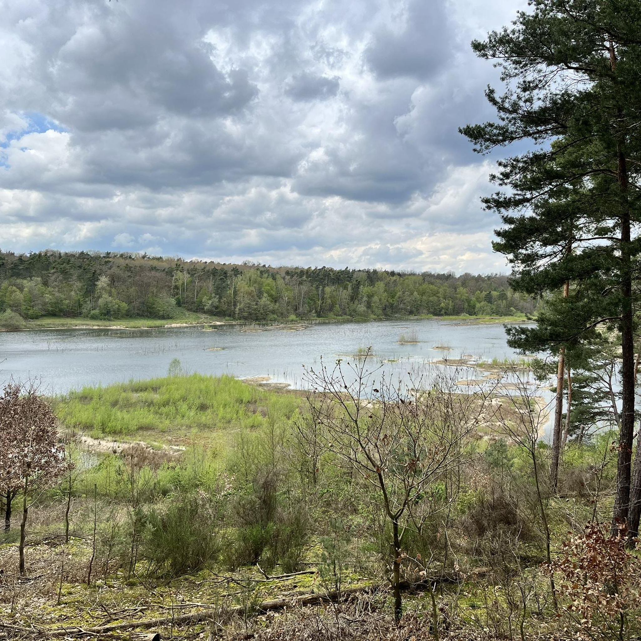
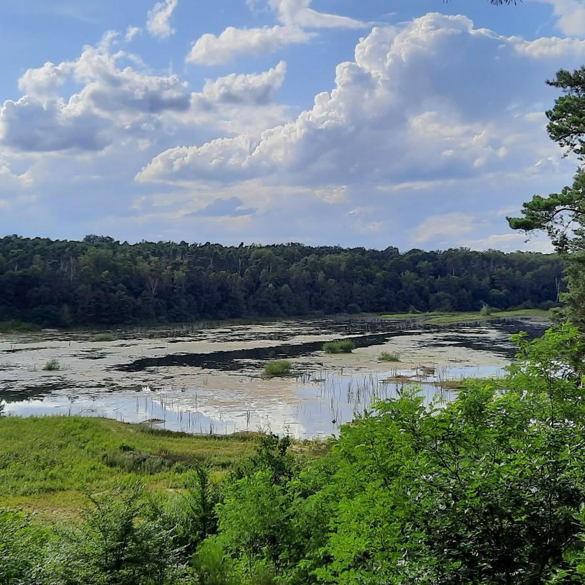
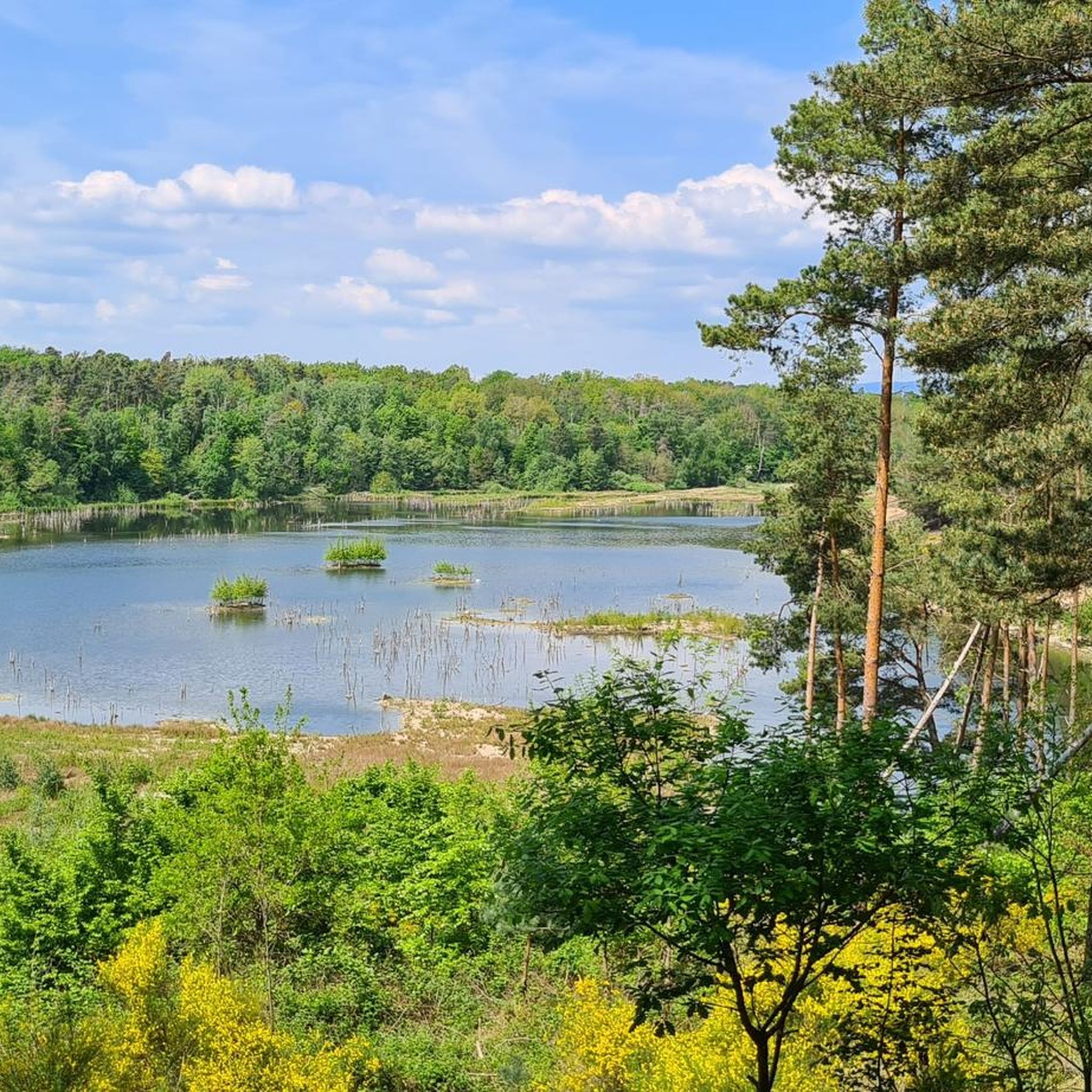
하이킹은 독일 노이-이젠부르크 남서쪽에 위치한 자연 보호 구역을 통과하는 트레일을 제공합니다. 이 지역은 점토 채굴장이었던 과거가 특징이며, 이는 다양한 자연 서식지로 변모했습니다. 종종 소나무 향이 나는 혼합림이 삼림 내 중요한 수역인 게슈피츠바이허 연못을 둘러싸고 있습니다. 이 다양한 지형은 풍부한 생물 다양성을 지원하여 자연 관찰에 적합합니다.
게슈피츠바이허 주변 최고의 하이킹 트레일
- 가장 인기 있는 하이킹 경로는 게슈피츠바이허 자연 보호 구역 – 체펠린하임에서 바라본 게슈피츠바이허 루프로, 2.0마일(3.3km) 길이이며 완료하는 데 51분이 걸립니다. 이 쉬운 경로는 자연 보호 구역 내 게슈피츠바이허 연못의…
마지막 업데이트: 8월 24, 2026
4.9
(23)
124
등산객
3.27km
00:51
20m
20m
초급용 하이킹. 모든 체력 수준에 적합. 실력과 관계없이 누구나 쉽게 갈 수 있는 길.
4.7
(6)
14
등산객
5.38km
01:23
20m
20m
초급용 하이킹. 모든 체력 수준에 적합. 실력과 관계없이 누구나 쉽게 갈 수 있는 길.

무료 회원 가입
4.5
(2)
10
등산객
4.11km
01:03
20m
20m
초급용 하이킹. 모든 체력 수준에 적합. 실력과 관계없이 누구나 쉽게 갈 수 있는 길.
4.0
(2)
6
등산객
5.31km
01:22
20m
20m
초급용 하이킹. 모든 체력 수준에 적합. 실력과 관계없이 누구나 쉽게 갈 수 있는 길.
4
등산객
3.04km
00:47
10m
10m
초급용 하이킹. 모든 체력 수준에 적합. 실력과 관계없이 누구나 쉽게 갈 수 있는 길.
더 다양한 경로와 다른 탐험가들의 추천을 살펴보세요.
무료 회원 가입
이미 komoot 계정이 있나요?
투어 추천은 다른 사람들이 komoot에서 완료한 수천 개의 활동을 바탕으로 구성되어 있습니다.
오늘 무료 계정으로 시작하세요
다음 모험이 기다리고 있어요.
로그인 또는 가입하기
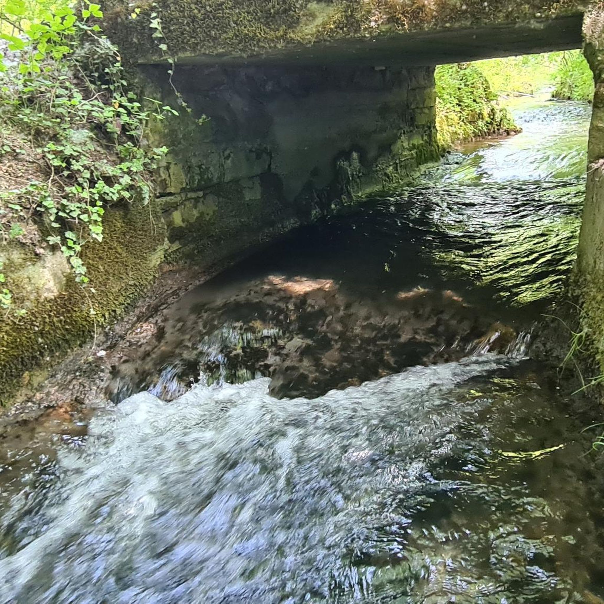
커뮤니티 팁

아름다운 Gehspitzweiher 전망을 갖춘 완벽한 자전거 도로입니다.
0
0

역사적 배경 옛 영토 경계: 이 길은 1600년부터 1816년까지 풍경을 가로질렀던 역사적인 경계를 보여줍니다. 이 경계는 이젠부르크(Ysenburg) 공국의 영토와 헤센-다름슈타트(Hessen-Darmstadt) 변경백령을 분리했습니다. 경로: 역사적인 경계선은 프랑크푸르트 시립 숲의 남쪽 가장자리, 소위 게슈피츠(Gehspitz)에서 시작하여 미텔디커 숲(Mitteldicker Wald)을 지나 현재의 드라이아이히-부흐슐라크(Dreieich-Buchschlag)를 거쳐, 랑겐 뮐탈(Langen Mühltal)을 통과한 후 하그(Haag)의 코베르슈타트(Koberstadt)까지 이어집니다. 길을 따라 있는 특징 및 볼거리 역사적 경계석: 길을 따라 등산객들은 잘 보존된 수많은 역사적 경계석을 지나게 됩니다. 특히 1783년에 세워진 12개의 큰 경계석과 하나우(Hanau)의 코베르슈타트(Koberstadt) 경계에 있는 예술적인 문장석이 눈에 띕니다. 중세 방어벽: 한 구간은 부흐-슐라크(Buch-Schlag)에 있는 역사적인 드라이아이히(Dreieich) 고리 방어벽에 할애됩니다. 하이너 트리프트(Hainer Trift) 근처에는 이 중세 벽의 일부와 경계 도랑, 상징적인 나무 바리케이드가 재건되었습니다. 자연과 수역: 이 길은 울창한 숲 지역과 풍경의 하이라이트를 연결합니다. 예를 들어, 한 구간은 이젠부르거 베크(Isenburger Weg)를 따라 호흐발트(Hochwald)를 지나고, 홀츠만 호수(Holzmann-Weiher)의 북동쪽 기슭을 지납니다.
6
0


Hike around the Gehspitzweiher with numerous information boards
2
0

The Gehspitzweiher pond was created from a gravel pit. In my childhood/youth I occasionally went to the lake, which was then used as a bathing lake. Today it is a nature reserve. Many water birds have their habitat here.
1
0

The beautifully laid out path around the lake is highly recommended.
3
0

The border between Ysenburg and Hesse-Darmstadt once ran along this spot, and some stone markers of it still exist. With the Congress of Vienna in 1816, the Principality of Ysenburg was divided between the Grand Duchy of Hesse-Darmstadt and the Electorate of Hesse-Kassel, making the border superfluous.
2
0
You are standing here on a historical border line that was already described around the year 840. From 1600 onwards it formed the dividing line between the county of Ysenburg and the landgraviate of Hesse-Darmstadt. It runs from the Frankfurt city forest at Gehspitz via Buchschlag and Rostadt along the Hainer forest to Koberstadt. In 1783 the border was re-marked with large stones. Of the original 115 examples, 73 are still there. They are labelled with Y for Ysenburg, HD for Hesse-Darmstadt, the year 1783 and a consecutive number. There were many of these territorial borders at the time. There were 10 independent small states within a radius of 20 km. It was only with the unification of Germany in 1871 that these inhibiting border lines were largely overcome. Borders separate areas and people from one another. With their markings on the ground, however, they are necessary to determine responsibilities and authority. In this sense, clear border lines serve to ensure local legal peace. The old boundary stones now provide a vivid insight into the development of the region. They are a cultural asset worth protecting. See also: www.dreyeicher-grenzweg.de
3
0


더 살펴보기
다른 지역의 최고의 하이킹를 살펴보세요.
