쾨지처 타이히 최고의 사이클링 경로
4.6
(299)
921
자전거 타는 사람
142
라이딩
쾨지처 타이히에 자전거 라이딩을 할 수 있는 경로는 많은데, 어디서 출발해야 할지 모르시겠다고요? 아름다운 호수를 구경할 수 있도록 가장 멋진 경로를 알려드릴게요. 망설이지 말고, 마음에 드는 쾨지처 타이히 사이클링 경로를 아래에서 찾아보세요.
마지막 업데이트: 10월 30, 2026
5.0
(3)
7
자전거 타는 사람
24.5km
01:28
100m
100m
초급용 자전거 라이딩. 대부분 포장된 노면.
6
자전거 타는 사람
초급용 자전거 라이딩. 대부분 포장된 노면.

7
자전거 타는 사람
11.3km
00:41
20m
20m
어려운 자전거 타기. 투어 중 자전거를 끌고 가야 하는 구간이 있을 수 있음.
5.0
(1)
7
자전거 타는 사람
어려운 자전거 타기. 투어 중 자전거를 끌고 가야 하는 구간이 있을 수 있음.
5.0
(1)
6
자전거 타는 사람
6.68km
00:25
10m
10m
어려운 자전거 타기. 투어 중 자전거를 끌고 가야 하는 구간이 있을 수 있음.
더 다양한 경로와 다른 탐험가들의 추천을 살펴보세요.
이미 komoot 계정이 있나요?
투어 추천은 다른 사람들이 komoot에서 완료한 수천 개의 활동을 바탕으로 구성되어 있습니다.
오늘 무료 계정으로 시작하세요
다음 모험이 기다리고 있어요.
쾨지처 타이히 주변 인기 장소
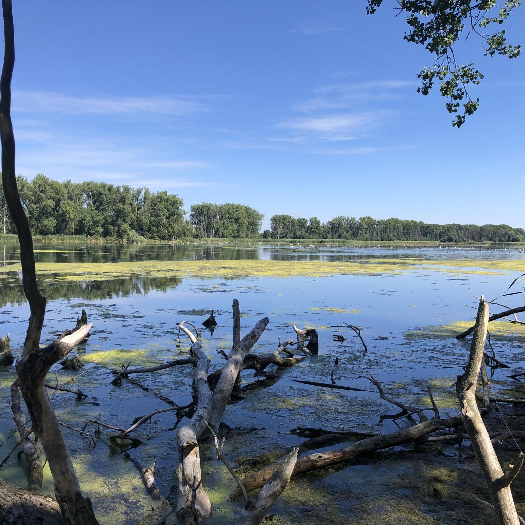
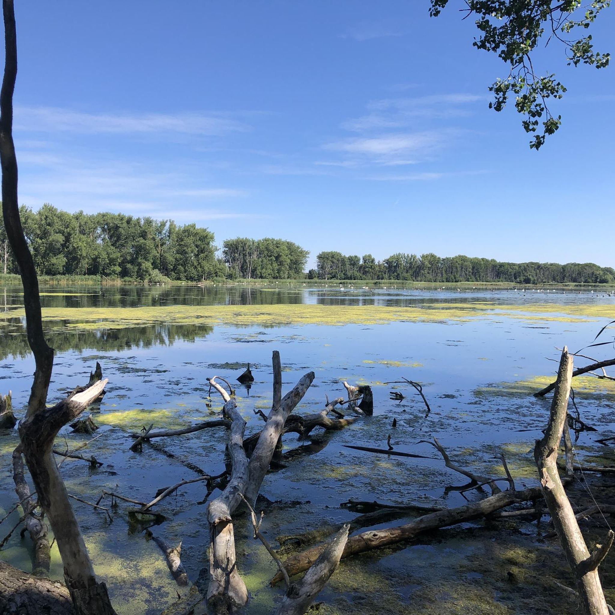
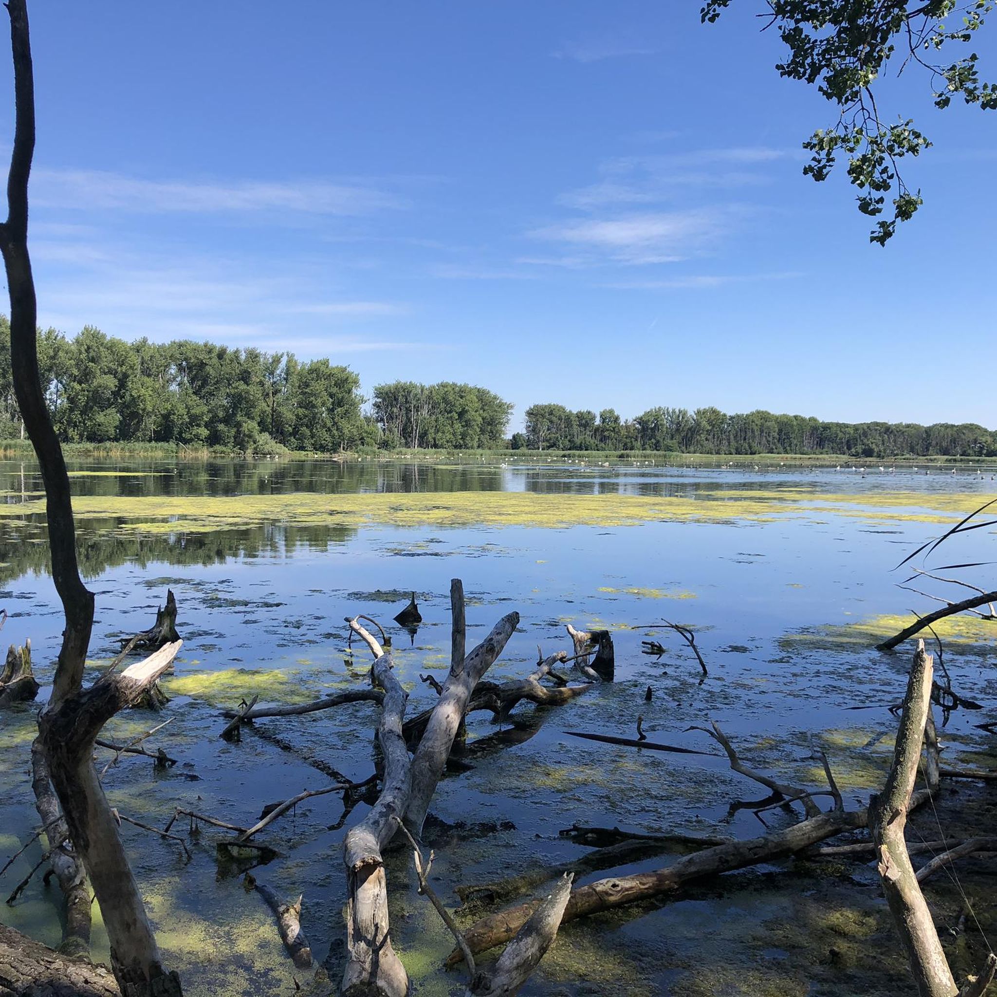
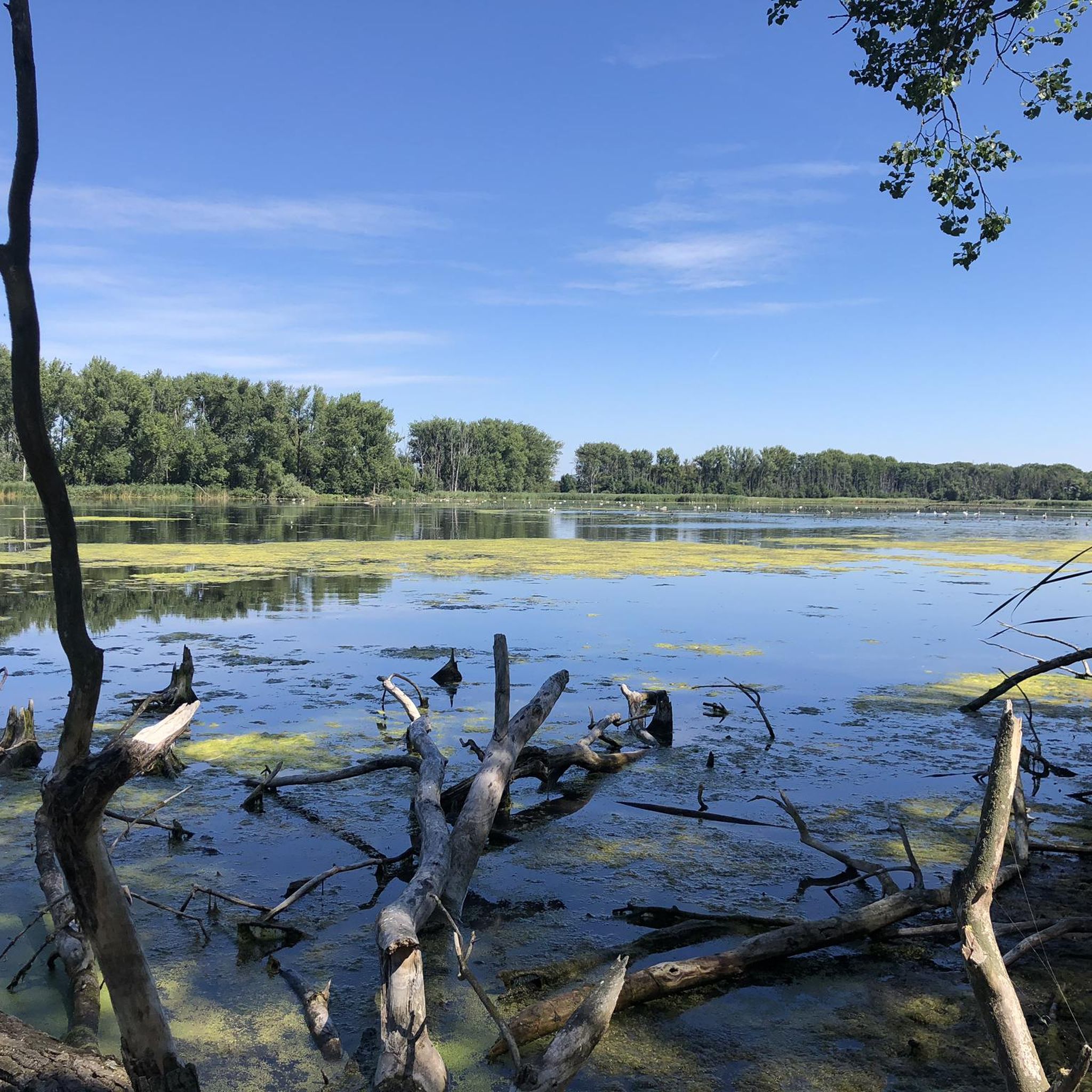
커뮤니티 팁

The Theure Christian is a road construction monument. It is considered the oldest road construction monument in Saxony-Anhalt. It is located on the old connecting road between Radegast, a district of the town of Southern Anhalt, and Zörbig in the state of Saxony-Anhalt, Anhalt-Bitterfeld district, on the former state border between the Duchy of Saxony-Merseburg or later the Electorate of Saxony and the Principality of Anhalt-Dessau, later the Duchy of Anhalt. Until June 30, 2007, this was also the border of the districts of Bitterfeld and Köthen, which were merged in Saxony-Anhalt as a result of the second district reform. The monument was built in 1688 in the Baroque style to commemorate the fortification of the dam through the Fuhne lowlands between Radegast and Zörbig. It consists of a 5 m high substructure with a square base, the sides of which are each about 2 m long. It consists of quarry stone underpinning, sandstone base and shaft made of plastered bricks and sandstone cornice. The top, which is about 4 m high up to the top of the ball, is made of red sandstone and is divided into a pedestal, a pyramid and finally a large ball. The monument has little figurative decoration, but has the lavish decorations on the inscriptions typical of the Baroque period. Source https://de.wikipedia.org/wiki/Theurer_Christian
5
0

Here you can find information about the former lignite mine.
0
0
There's delicious ice cream here.
0
0

The Cösitz manor (also Cösitz Castle or Cösitz Manor) In the year 750, there was already a Sorbian rampart on the site of today's manor, which was mentioned in documents in 839 when it was conquered by the Saxons. From 1370 to the middle of the 16th century, the complex was the ancestral seat of the Kositz family. After the plague of 1636 and pillage by Swedish troops in the Thirty Years' War, the village and the manor were desolate. In 1877, the rampart of the castle was demolished, which later enabled the construction of the east wing of the building. The building known today as the castle was built on behalf of Hubert Freiherr von dem Bussche-Lohe and his wife Jeannette von Wuthenau in 1891. The west wing was built in 1937, as was the English landscape park. The design for the new wing was drawn up by the retired senior building inspector and architect Hans Volkmann. The Baron had already had a small living space extension to the building planned by the man from Halle in 1933/34. It remained in the von dem Bussche family until it was put up for auction in 1945. In recent years, the manor has been renovated and apartments have been built. In the landscape park there is still a beech tree with a trunk diameter of six meters and a crown of 38 meters, making it one of the thickest beech trees in Germany. Remnants of the ramparts up to five meters high have been preserved. Source: Wikipedia
0
0
Delicious ice cream in Schortewitz.
1
0
The Fuhne has two flow directions.
1
0


더 살펴보기
다른 지역의 최고의 자전거 경로를 살펴보세요.
