크레시아노 최고의 라이딩 경로
4.4
(232)
5,363
자전거 타는 사람
21
라이딩
크레시아노의 로드 사이클링 경로를 찾으시나요? 그렇다면 크레시아노 로드 라이딩 컬렉션 중에서 가장 멋진 라이딩 장소를 아래에서 살펴보세요.
마지막 업데이트: 9월 27, 2026
48
자전거 타는 사람
107km
06:42
2,750m
2,750m
어려운 도로 자전거 타기. 우수한 체력 필요. 지면 대부분이 잘 포장되어 있고 라이딩하기 쉬움.
4.5
(50)
872
자전거 타는 사람
43.0km
01:43
170m
170m
초급용 로드 라이딩. 모든 체력 수준에 적합. 지면 대부분이 잘 포장되어 있고 라이딩하기 쉬움.

4.6
(21)
574
자전거 타는 사람
105km
06:05
2,000m
2,000m
어려운 도로 자전거 타기. 우수한 체력 필요. 지면 대부분이 잘 포장되어 있고 라이딩하기 쉬움.
4.5
(22)
597
자전거 타는 사람
108km
05:58
2,240m
2,240m
어려운 도로 자전거 타기. 우수한 체력 필요. 지면 대부분이 잘 포장되어 있고 라이딩하기 쉬움.
4.8
(9)
193
자전거 타는 사람
124km
06:45
2,420m
2,410m
어려운 도로 자전거 타기. 우수한 체력 필요. 지면 대부분이 잘 포장되어 있고 라이딩하기 쉬움.
더 다양한 경로와 다른 탐험가들의 추천을 살펴보세요.
이미 komoot 계정이 있나요?
투어 추천은 다른 사람들이 komoot에서 완료한 수천 개의 활동을 바탕으로 구성되어 있습니다.
오늘 무료 계정으로 시작하세요
다음 모험이 기다리고 있어요.
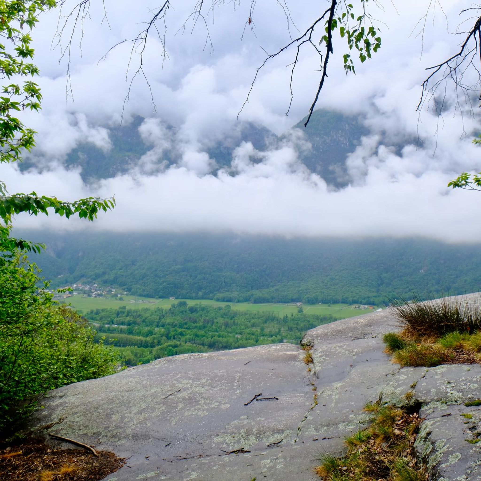
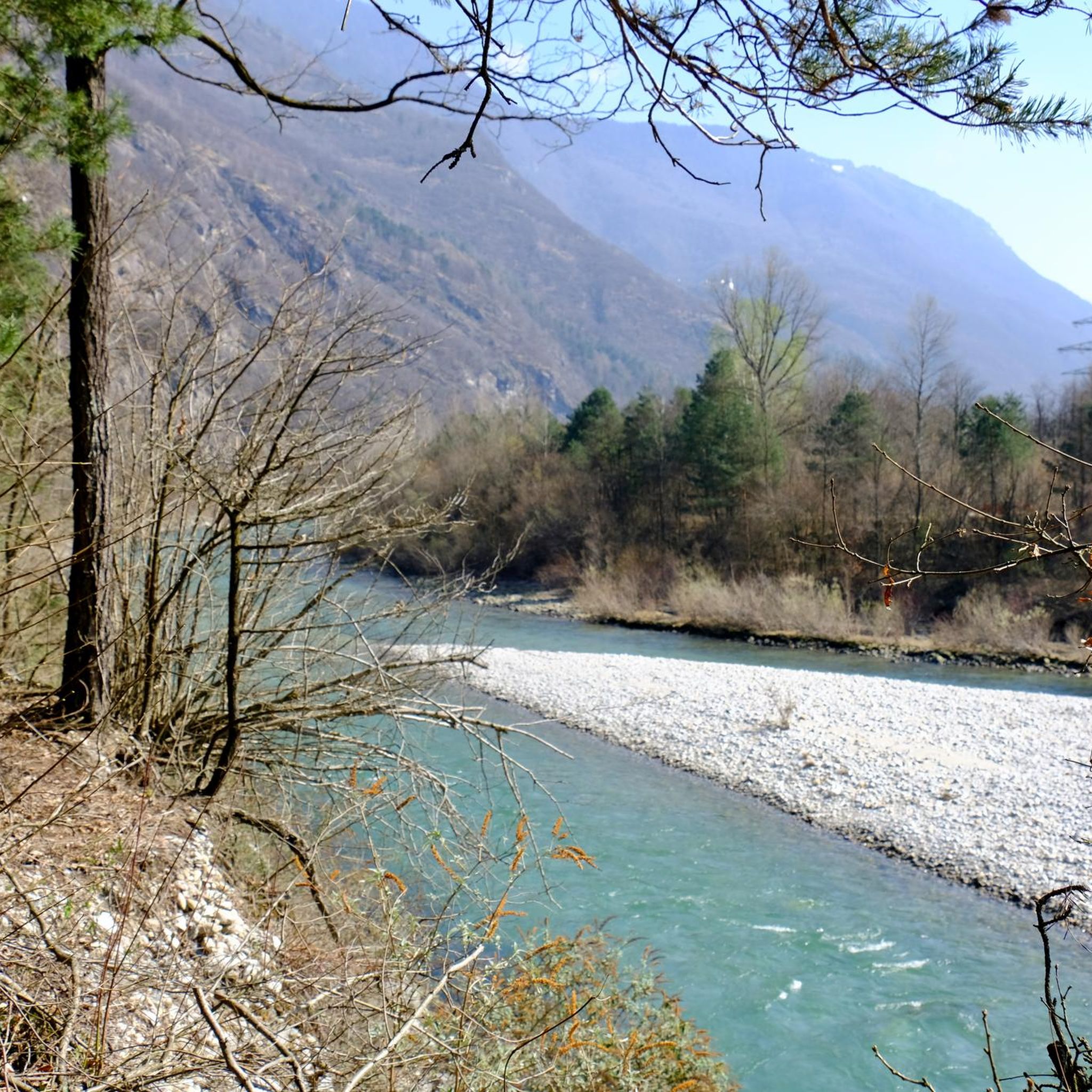
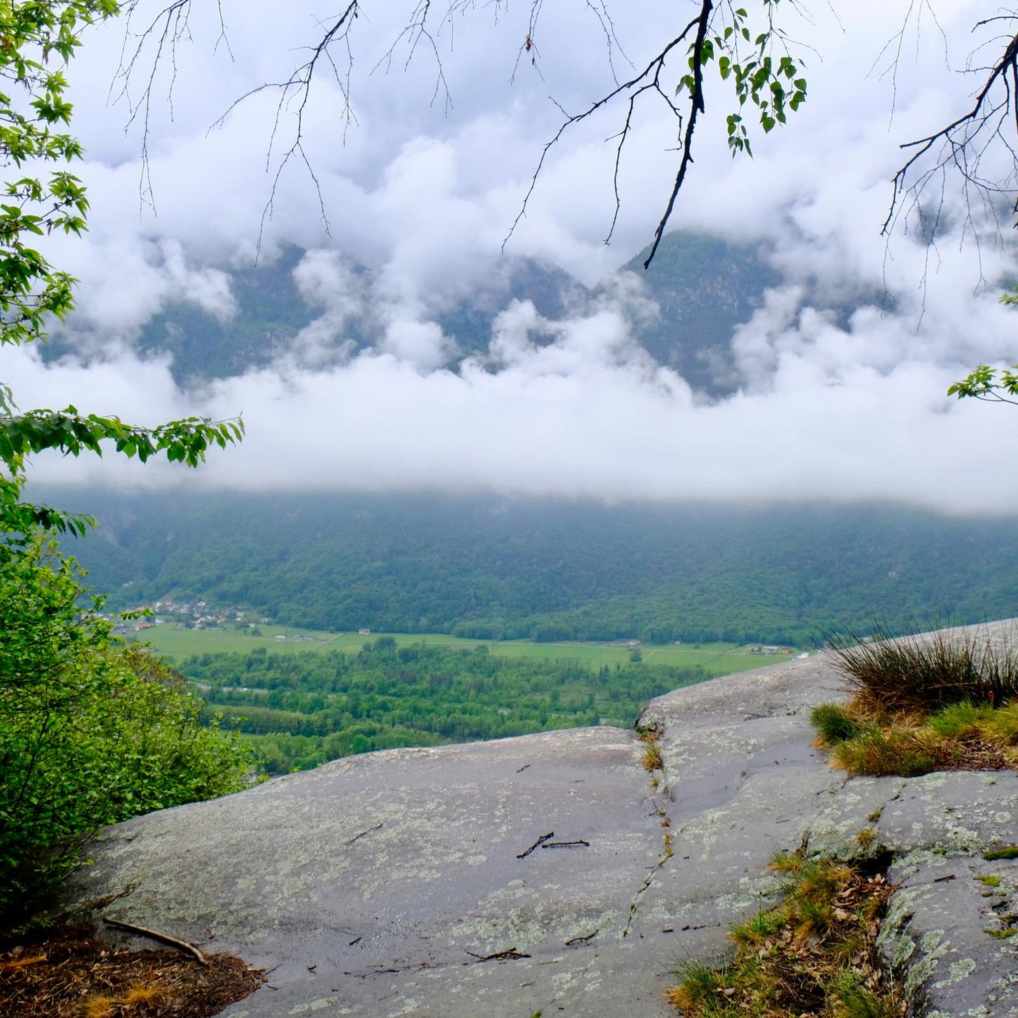
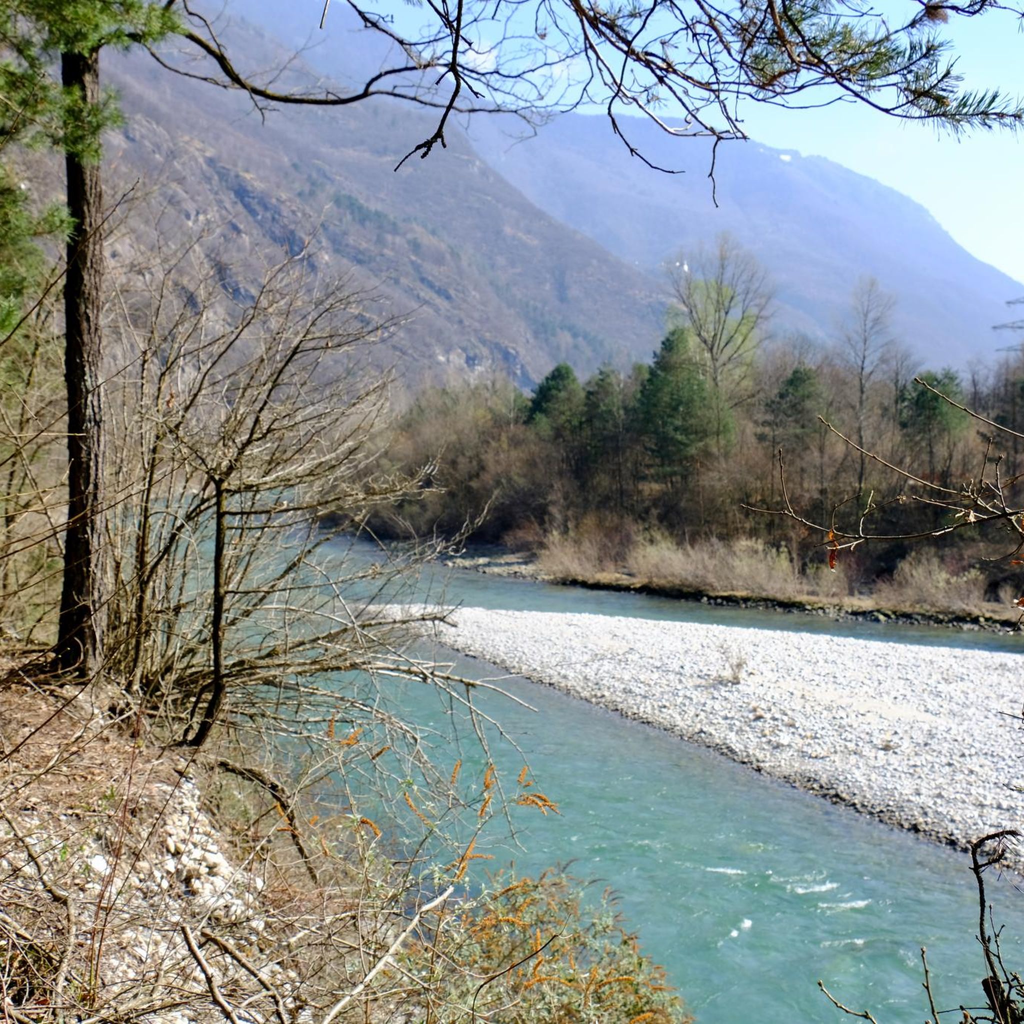
커뮤니티 팁

여러 번 갔습니다 - 아스코나 출발 - 아름답지만 이번 6월은 태양이 우리를 지치게 했습니다
0
0

St. Gotthard Pass The Gotthard Pass divides waterways and connects various cultural and linguistic areas. Its significance as an "Alpine transversal" began at the beginning of the 13th century with the construction of the legendary Devil's Bridge in the Schöllenen Gorge. For many centuries, trade caravans (trading cattle and cheese for grain, wine, rice, and salt), mercenaries, messengers, and even entire armies crossed the pass. Between 1818 and 1836, the canton of Uri, with the help of other cantons, expanded the pass road, thus achieving its predominance among Swiss Alpine passes. The Gotthard Pass has significantly shaped the economy and culture of Central Switzerland for centuries. Until the opening of the Gotthard Railway in 1882, the Gotthard Pass was also used in winter. Dozens of roadmen and shovel workers were employed for this purpose. In 1922, the post bus replaced the stagecoach, and with the introduction of gasoline duties in 1923, the expansion of the pass roads began, continuing to this day. The old pass road on the south side, the Tremola between the top of the pass and Airolo, is still preserved and passable. This stretch of road recalls more tranquil journeys over the Gotthard that occurred not so long ago. In the 19th and 20th centuries, the Gotthard Pass was "condensed" into a myth, a symbol of Switzerland's independence, unity, and identity. Text / Source: Interest Group for Alpine Passes IAP, PO Box 11, 6491 Realp https://alpen-paesse.ch/de/alpenpaesse/gotthardpass
15
1

Doing the Tremola by bike is something unique, and I recommend everyone to do it, you will be enchanted by all those curves and the unique landscape.
2
0

Biaschina kliniğinin eteğinde ve Ticino vadisinin alüvyal ovasının başlangıcında yer alan Giornico'nun coğrafi konumu, bu bölgeyi yüzyıllar boyunca Gotthard yolu boyunca transit faaliyetleri için temel bir yer haline getirmiştir. Önünüzde, aşağıda, Ticino Nehri üzerindeki adaya erişim sağlayan iki kemerli veya sırt köprüsü bulunmaktadır. Vadinin sağ tarafında şunlar öne çıkmaktadır: San Michele Paro kilisesi, San Nicola (veya San Nicolao) kilisesi ve tepedeki Santa Maria del Castello kilisesi.
0
0

Shopping opportunities
0
0
Absolutely worth seeing photo motif
1
0


더 살펴보기
다른 지역의 최고의 로드 사이클링 경로를 살펴보세요.
