경로플래너기능업데이트
App
로그인 또는 가입
앱 다운로드
로그인 또는 가입
경로
Places to see
Mountain Peaks
북아메리카
미국
캘리포니아

리버사이드 카운티

리버사이드 카운티‬에서 가장 멋진 ‪20‬개의 산 정상


리버사이드 카운티의 산 정상에 오르면 이 지역의 아름다운 모습을 제대로 구경할 수 있어요. 다만, 20
곳이나 되는 산 정상 중에서 어떤 곳을 가야 할 지 고민된다는 게 문제죠. 리버사이드 카운티에서 가장 멋진 산 정상을 살펴본 후에 마음에 드는 산 정상을 다음 모험 계획에 추가해보세요.

마지막 업데이트: 10월 23, 2026

산 하신토 봉우리

하이라이트 • 정상

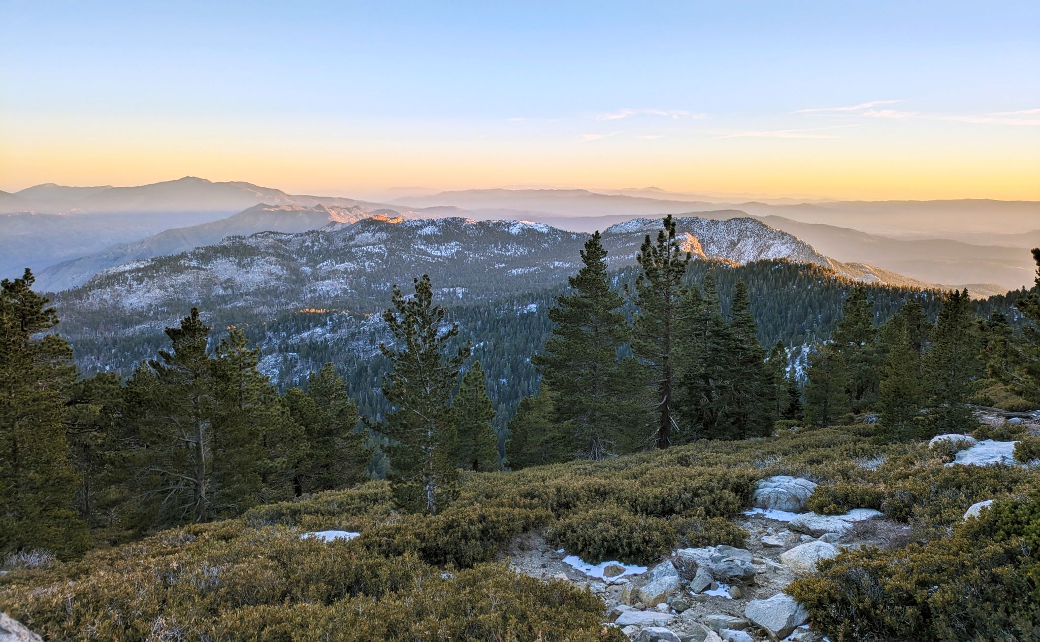
With 10,883 feet Mount San Jacinto is the highest peak in the San Jacinto Mountains. There is a network of hiking trails around the summit and the San Jacinto State Park itself. If the weather turns for the worst, you can find shelter in a little hut close to the summit.

You can either take a hike from Idyllwild on the west side of the mountain or Palm Springs on the east side. There is also an aerial tramway you can use to get into the San Jacinto Wilderness. If you feel adventurous, you can cross the mountain range using the Pacific Crest Trail.

팁에 의해

하이킹 보기휴대폰으로 전송
저장

마스토돈 피크

하이라이트 • 정상

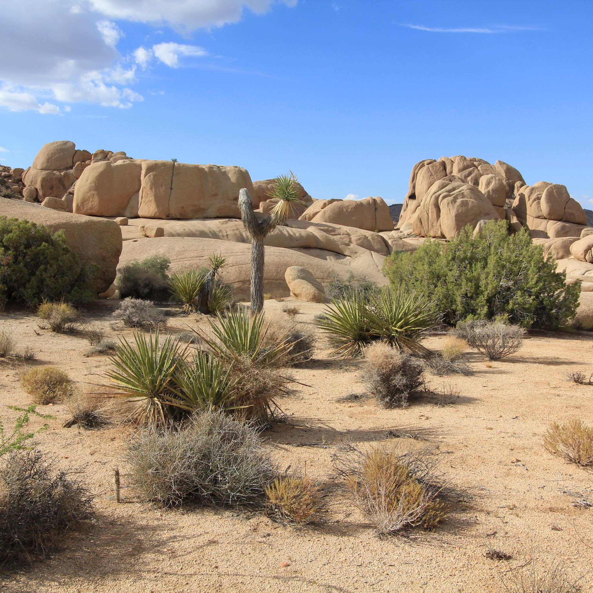
This small mountain in the lower part does not see as many visitors as the center of Joshua Tree National Park. Leave the crowds behind and enjoy a hike to this peak and the scenic ruins of the old Mastodon Mine. In the 1930s, the Hulsey Family found some gold ore, but was not able to get to the main vain, so the mine was abandonded pretty soon.

팁에 의해

저장

이런 장소를 발견하려면 지금 가입하세요

최고의 싱글 트랙, 봉우리 및 다양한 흥미로운 야외 장소에 대한 추천을 받아보세요.

무료 회원 가입

루비두 산 정상과 십자가

하이라이트 • 정상

Some historians believe America's first Easter sunrise service took place atop Rubidoux in 1909 and inspired similar observances around the continent.

팁에 의해

저장

라이언 마운틴에서의 전망

하이라이트 • 전망대

The hike up to Ryan Mountain is one of the more strenuous within Joshua Tree National Park. But your effort is worth the open panoramic views over the park and the tall Joshua Trees.

팁에 의해

저장

타퀴츠 피크

하이라이트 • 정상

Tahquitz Peak is a great hiking destination with picture postcard views to the southeast and the Salton Sea. It got its name from a Native American legend saying that a demon wanted to possess the area. When the demon was killed, the spirit escaped and is now living in a cave in the San Jacinto Wilderness. San Bernadino National Forest operates the seasonal fire lookout at the summit of Tahquitz Peak which is mainly staffed by volunteers and is also the highest within the National Forest. The trail up to the mountain can be very dangerous in winter conditions, so bring proper gear.

You need to obtain a free of charge wilderness permit from the Ranger Station in Idyllwild or call (909) 382-2921.

팁에 의해

저장

유레카 피크

하이라이트 • 정상

Eureka Peak is not the highest mountain in Joshua Tree National Park, but worth a hike if you like to get away from the crowds. At a height of 5,518 feet the summit offers a scenic panorama over the park, its canyons, and snow capped mountains in the distance.

팁에 의해

저장

San Jacinto 정상 대피소

하이라이트 • 산장

In the stone shelter you will find four bunk beds. It should be considered for emergencies, but especially PCT-Thruhikers are likely to spend the night in the hut.

팁에 의해

저장

수어사이드 록

하이라이트 • 정상

After the climb, hikers are greeted with a large slab of granite with 360 views of the surrounding mountains. Swing by the San Jacinto Ranger Station office to grab a simple permit to hike.

팁에 의해

저장

박스 스프링스 마운틴 피크

하이라이트 • 정상

Box Springs Mountain Reserve is located on 3,400 beautiful acres of land that overlook the cities of Riverside and Moreno Valley. The Reserve once was covered in dense Coastal Sage Scrub, but recent wildfires have allowed non-native grasses to thrive. Visitors should be conscious of their activities while visiting the Reserve in order to protect wildlife and their delicate ecosystem.

팁에 의해

저장

피크 트레일

하이라이트 • 트레일

As you might expect, the Peak Trail leads you to the summit of Mount San Jacinto and the shelter hut below. There is snow very likely at least until late spring if not into early summer.

팁에 의해

저장

무료로 가입하여 리버사이드 카운티의 더 많은 봉우리를 발견하세요.

무료 회원 가입

이미 komoot 계정이 있나요?

오늘 무료 계정으로 시작하세요

다음 모험이 기다리고 있어요.

로그인 또는 가입하기

리버사이드 카운티 주변 인기 장소

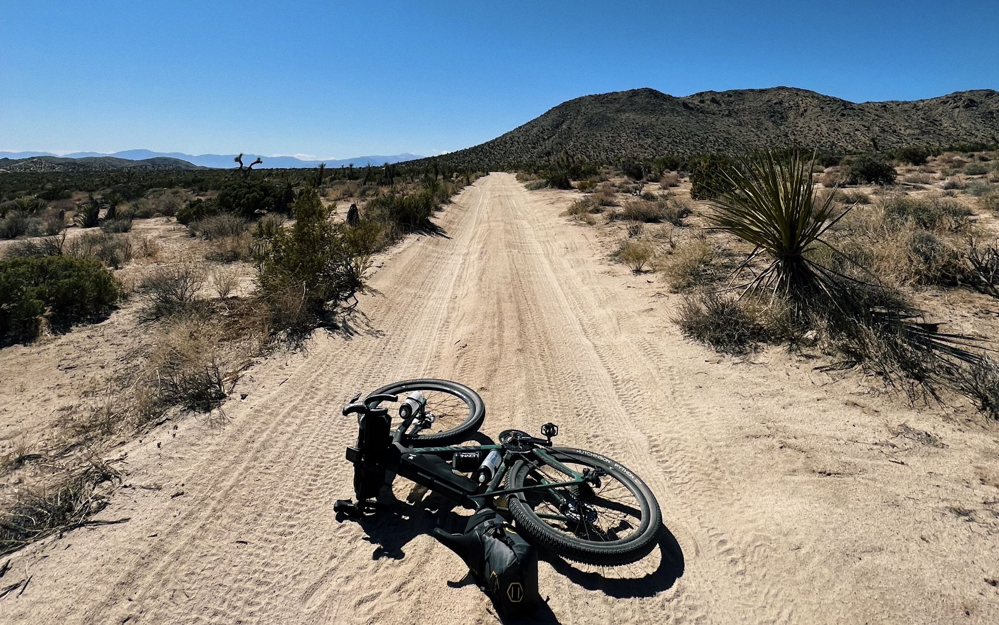
사막으로 — 캘리포니아 자전거 백팩킹

4,200 킬로미터의 원정 - 태평양 꼭대기 트레일 멕시코에서 캐나다까지

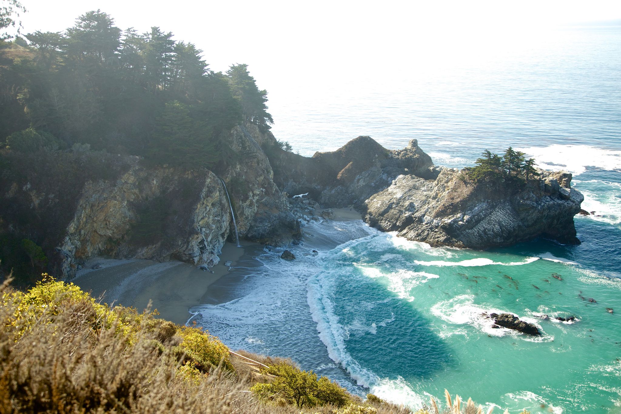
The tour of your life – music trails on the Pacific coast

덧 스프링스 트레일에서 산하시안토 등산

리버사이드 카운티 하이킹

리버사이드 카운티 사이클링

리버사이드 카운티 MTB 트레일

리버사이드 카운티 러닝 트레일

리버사이드 카운티 로드 사이클링 경로

리버사이드 카운티 그래블 라이딩

리버사이드 카운티의 다른 모험

사막으로 — 캘리포니아 자전거 백팩킹

사이클링 컬렉션 에 의해

Liam Yates

커뮤니티 팁

dr.te
9월 14, 2026, Mastodon Peak

정말 이 스크램블 정상(1030m)의 작은 "하이라이트"입니다. 아마도 (전반적으로 남쪽 입구처럼) 자주 방문하지는 않겠지만, 확실히 (짧은?) 우회할 가치가 있습니다! 가장 좋은 경로는 주 경로의 갈림길에서 산을 오른쪽으로 돌아가는 것이며, 작은 바위 돌출부의 뒷면에서 오르막길이 잘 보입니다. 실제로 어렵지는 않지만, 확실히 고소공포증이 없어야 하며 마찰에 강한 밑창이 있는 신발도 도움이 될 것입니다. 정상에서는 360° 파노라마 전망을 감상할 수 있습니다 - 메카 힐 근처의 큰 소금 호수까지...

번역: Google•

0

0

dr.te
9월 13, 2026, Tahquitz Peak

타퀴츠 피크(2696m)는 샌 자신토 산맥에 있는 유명한 봉우리로, 역사적인 "전망대"가 아닌, 1937년에 민간 보존단(Civilian Conservation Corps)이 건설한 역사적인 목조 탑이 있습니다. 이 탑은 여름철에 자원봉사자들이 산불 감시 임무를 수행하기 위해 사용하도록 만들어졌습니다. 실제로 국유림 전체에서 가장 오랫동안 중단 없이 운영된 산불 감시 탑인 것으로 보입니다. 트레일 - 사우스 릿지 트레일 - 은 이딜와일드 근처의 사우스 릿지 로드/포레스트 로드 5S11에서 시작됩니다. 마지막 접근 도로는 꽤 험한 자갈길입니다. 사륜구동과 높은 지상고가 확실히 유리하며, 그런 차량이 있는 사람은 아스팔트 도로가 자갈길로 바뀌는 곳에 주차하면 됩니다. 그러면 왕복 3km가 더 길어집니다. 트레일 자체는 주차 위치에 따라 왕복 11~14km이며, 항상 걷기 좋습니다. 정상 부근에서는 훨씬 더 가파르고 햇볕에 더 많이 노출됩니다. 역사적인 산불 감시 탑에 도착하면 주변 산과 사막의 환상적인 360도 전망을 볼 수 있습니다... 그리고 휴식을 취하고 경치를 감상할 수 있는 작은 바위들이 많이 있습니다. 가볼 만한 가치가 있습니다!

번역: Google•

0

0

라이언 산(1663m)은 초기 목장주이자 광산업자인 J.D. 라이언의 이름을 따서 명명되었습니다(그는 1890년대 중반부터 이곳에 거주했으며 – 1896년에 그의 목장 건설을 시작했습니다 – 그리고 근처의 로스트 호스 광산도 운영했습니다. – 로스트 호스 광산은 1894년에서 1931년 사이에 총 10,000온스 이상의 금(약 280kg)과 16,000온스 이상의 은(약 450kg)을 채굴했습니다). 이 길 자체는 "어려움"으로 분류되며, 잘 정비되어 있어 우리에게는 정상까지 적당히 가파릅니다. 정상에서는 360° 파노라마 전망을 즐길 수 있습니다! 주의: 정상의 쌓인 돌 더미 아래에는 방울뱀이 "서식하고 있다"고 하니 눈과 귀를 활짝 열어두세요!

번역: Google•

0

0

Looking west from the summit you can see across Pinto Basin to Joshua Tree National Park. Indeed, Ryan Mountain has its own display of unique desert flora. The trail starts flat and becomes more steep as you climb, offering spectacular panoramic views and plenty of space to explore at the summit.

0

0

robam
7월 7, 2024, Suicide Rock

Great hike in beautiful scenery!

번역: Google•

0

0

This small mountain in the lower part does not see as many visitors as the center of Joshua Tree National Park. Leave the crowds behind and enjoy a hike to this peak and the scenic ruins of the old Mastodon Mine. In the 1930s, the Hulsey Family found some gold ore, but was not able to get to the main vein, so the mine was abandonded pretty soon.

0

0

Mount Rubidoux boasts several historic landmarks, including the Peace Tower, built in 1925 to honor Frank A. Miller. The cross at its summit symbolizes the city's cultural heritage and provides a serene spot for reflection and appreciation of Riverside's history. Additionally, the Save Mount Rubidoux Committee has worked tirelessly to preserve these landmarks and maintain the mountain's significance in the community.

0

0

With 10,883 feet, Mount San Jacinto is the highest peak in the San Jacinto Mountains. There is a network of hiking trails around the summit and the San Jacinto State Park itself. If the weather turns for the worst, you can find shelter in a little hut close to the summit. You can either take a hike from Idyllwild on the west side of the mountain or Palm Springs on the east side. There is also an aerial tramway you can use to get into the San Jacinto Wilderness. If you feel adventurous, you can cross the mountain range using the Pacific Crest Trail.

0

0

리버사이드 카운티에서 가장 인기 있는 경로

리버사이드 카운티 하이킹

리버사이드 카운티에서 가장 인기 있는 명소

Places to see

Store rating

komoot 모바일 앱으로 영감을 받아보세요

무료 komoot 계정로 끝없는 야외 모험을 손쉽게 찾고, 맞춤 설정하며 길안내할 수 있어요.

또는

지금 komoot에 가입하세요
Store rating

찾고 계신 것을 찾지 못하셨나요?

리버사이드 카운티의 최고의 봉우리와 정상들을 지역별로 발견해보세요:

CoronaTemescal ValleyIdyllwild-Pine CoveSanta Rosa And San Jacinto National Monument샌재신토 산맥Palm SpringsJoshua Tree National ParkMountain CenterLakeland VillageJoshua Tree Wilderness

근처 어드벤처 가이드

Mecca Hills Wilderness 즐길거리

background

새로운 정복을 위한 준비를 하세요

무료로 가입하기
탐험하기
경로경로 플래너기능바우처 사용하이킹MTB 트레일로드 사이클링 경로바이크패킹사이트맵
앱 다운로드
소셜 미디어에서 팔로우하기

© komoot GmbH

개인 정보 보호 정책