캄피냐 알타 최고의 라이딩 경로
4.6
(52)
5,625
자전거 타는 사람
411
라이딩
캄피냐 알타에서 하이킹하며 코르도바 구석 부분까지 살펴볼까요? 캄피냐 알타에 있는 모든 하이킹 및 워킹 경로 컬렉션 중 가장 멋진 하이킹 경로를 엄선하여 소개해드릴게요. 다른 하이커가 공유한 실제 팁과 사진을 살펴보고 후기를 읽으며 마음에 드는 캄피냐 알타 워킹 경로를 찾아보세요.
마지막 업데이트: 10월 10, 2026
73
자전거 타는 사람
78.1km
04:11
1,490m
1,490m
This difficult 48.6-mile road cycling route from Cabra in Parque Natural Sierras Subbeticas offers dramatic scenery and challenging climbs.
20
자전거 타는 사람
52.2km
02:23
580m
590m
This moderate 32.4-mile road cycling route from Puente Genil explores the Andalusian countryside, featuring olive groves and river views.

15
자전거 타는 사람
59.8km
02:59
890m
890m
This moderate 37.2-mile road cycling route from Baena explores Andalusian olive groves, historic viaducts, and Alcaudete Castle views.
9
자전거 타는 사람
84.8km
03:53
1,030m
1,030m
어려운 도로 자전거 타기. 우수한 체력 필요. 투어 중 라이딩하기 어려운 비포장 구간이 있을 수 있음.
10
자전거 타는 사람
52.7km
02:32
650m
650m
This moderate 32.8-mile road cycling route from Aguilar de la Frontera connects Monturque and Montilla, winding through vineyards and olive
8
자전거 타는 사람
35.9km
02:08
810m
810m
Cycle a moderate 22.3-mile loop through olive groves and historic railway lines, climbing to the Cueva de los Murciélagos.
7
자전거 타는 사람
107km
05:43
2,100m
2,100m
This difficult 66.4-mile road cycling route in Parque Natural Sierras Subbéticas offers 6899 feet of climbing and panoramic views.
8
자전거 타는 사람
54.2km
04:03
910m
910m
어려운 도로 자전거 타기. 우수한 체력 필요. 투어 중 라이딩하기 어려운 비포장 구간이 있을 수 있음.
2
자전거 타는 사람
87.5km
04:10
820m
830m
This moderate 54.4-mile road cycling route from Lucena explores Andalusia's olive groves and historic sites like Castillo del Moral.
2
자전거 타는 사람
79.2km
03:48
1,060m
1,060m
A difficult 49.2-mile (79.2 km) road cycling route around Porcuna and Baena, featuring historical landmarks and significant elevation gain.
더 다양한 경로와 다른 탐험가들의 추천을 살펴보세요.
이미 komoot 계정이 있나요?
투어 추천은 다른 사람들이 komoot에서 완료한 수천 개의 활동을 바탕으로 구성되어 있습니다.


커뮤니티 팁


Aguilar de la Frontera [2] is a Spanish municipality in the southwest of the province of Córdoba, in the autonomous community of Andalusia. The municipality is located in the region of Campiña Sur Cordobesa [3] and is the seat of the judicial district of the same name. [4] It lies at an altitude of 280 m above sea level [5] and about 47 km from the provincial capital, Córdoba. [6] In 2017, it had 13,476 inhabitants and a population density of 82.01 inhabitants/km². [7]
0
0

The Fuente del Río in Cabra, is a picturesque natural park considered the origin of the Río Cabra. The park combines the natural beauty of a karst spring with landscaped gardens and a diverse tree landscape. It was declared a “Sitio de Interés Natural” in 1929 and today offers recreational areas and picnic areas for visitors. The spring rises at the foot of the Sierra de Cabra, an area with high rainfall and calcareous rock that leads to the formation of such karst springs. The water flows through a series of waterfalls and artificial springs and supplies the entire municipality. The Fuente del Río is part of the “Ruta del Agua” in the Subbética Cordobesa and offers a harmonious interplay of nature and human design. The park is a popular place for locals and visitors who want to enjoy the tranquility and beauty of this unique place. A visit to the Fuente del Río offers the opportunity to experience the natural beauty of the region and explore the origins of the Río Cabra.
3
0

The viewpoint gives you impressive views of the canyon formed by the Bailón River and the town of Zuheros.
1
0

A natural area where the Cabra River is born. A natural spring surrounded by vegetation that transmits peace and tranquility. Highly recommended for a break on the route.
1
0

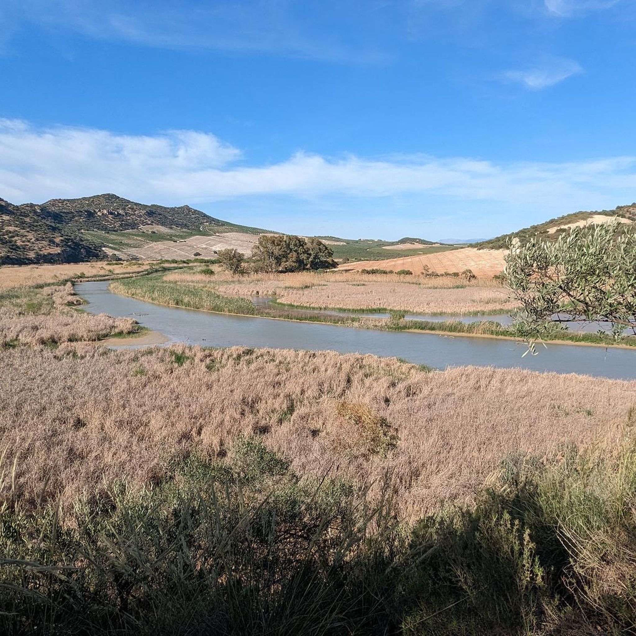
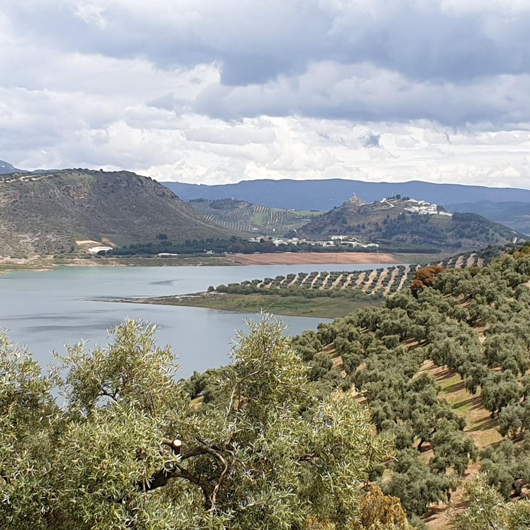
Beautiful views of the Malpasillo Reservoir and you can also see the continuity of the Río Genil!
0
0
A population center located between the Ríos Genil and Ríos de Anzuro, where it is located on a small ridge on both sides of the river. The center is small with a spectacular Iglesia Parroquial de la Expectación.
0
1
At the top of the Sierra de Cabra we find the Ermita de Nuestra Señora de la Sierra with impressive views of the entire Sierra Subbéticas y de Cabra Natural Park. With a demanding path but worth saving those meters to get to the top!
0
0
캄피냐 알타 주변에서 가장 인기 있는 명소


찾고 계신 것을 찾지 못하셨나요?
캄피냐 알타에서 더 많은 로드 사이클링 경로를 확인하고 목적지에서 완벽한 경로를 찾아보세요.
