브리엔저제 최고의 러닝 경로
4.5
(36)
1,302
달리기 하는 사람
41
러닝
Brienzersee 주변 조깅은 터키석 물과 가파른 산비탈을 배경으로 다양한 코스를 제공합니다. 이 지역은 호수를 따라 대부분 포장된 표면부터 알프스 풍경을 가로지르는 상당한 고도 상승이 있는 더 까다로운 트레일까지 다양한 지형을 특징으로 합니다. Giessbach 폭포와 같은 자연 명소와 Eiger, Mönch, Jungfrau 봉우리를 포함한 Bernese Oberland 산의 전망은 많은 길을 따라 흔히 볼 수 있습니다. 이 지역은 다양한 체력 수준에 맞는 다양한 달리기 경험을 제공합니다.
Brienzersee 주변 최고의 조깅 코스
- 가장 인기 있는 조깅 코스는 Bönigen에서 출발하는 Aare 전망 – Harder Kulm…
마지막 업데이트: 8월 31, 2026
4.8
(12)
240
달리기 하는 사람
10.0km
01:02
30m
30m
보통 조깅. 좋은 체력 필요. 대부분 포장된 지면. 실력과 관계없이 누구나 갈 수 있음.
82
달리기 하는 사람
7.94km
00:50
70m
70m
보통 조깅. 좋은 체력 필요. 대부분 포장된 지면. 실력과 관계없이 누구나 갈 수 있음.

무료 회원 가입
4.0
(4)
63
달리기 하는 사람
7.59km
00:47
30m
20m
보통 조깅. 좋은 체력 필요. 대부분 포장된 지면. 실력과 관계없이 누구나 갈 수 있음.
69
달리기 하는 사람
10.9km
01:12
130m
130m
보통 조깅. 좋은 체력 필요. 대부분 포장된 지면. 실력과 관계없이 누구나 갈 수 있음.
5.0
(1)
54
달리기 하는 사람
5.79km
00:36
10m
10m
보통 조깅. 좋은 체력 필요. 대부분 포장된 지면. 실력과 관계없이 누구나 갈 수 있음.
더 다양한 경로와 다른 탐험가들의 추천을 살펴보세요.
무료 회원 가입
이미 komoot 계정이 있나요?
투어 추천은 다른 사람들이 komoot에서 완료한 수천 개의 활동을 바탕으로 구성되어 있습니다.
오늘 무료 계정으로 시작하세요
다음 모험이 기다리고 있어요.
로그인 또는 가입하기
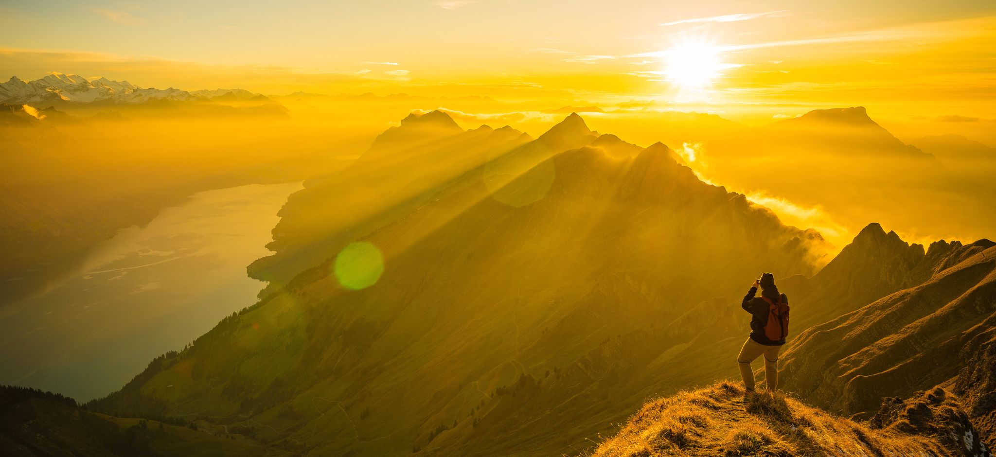
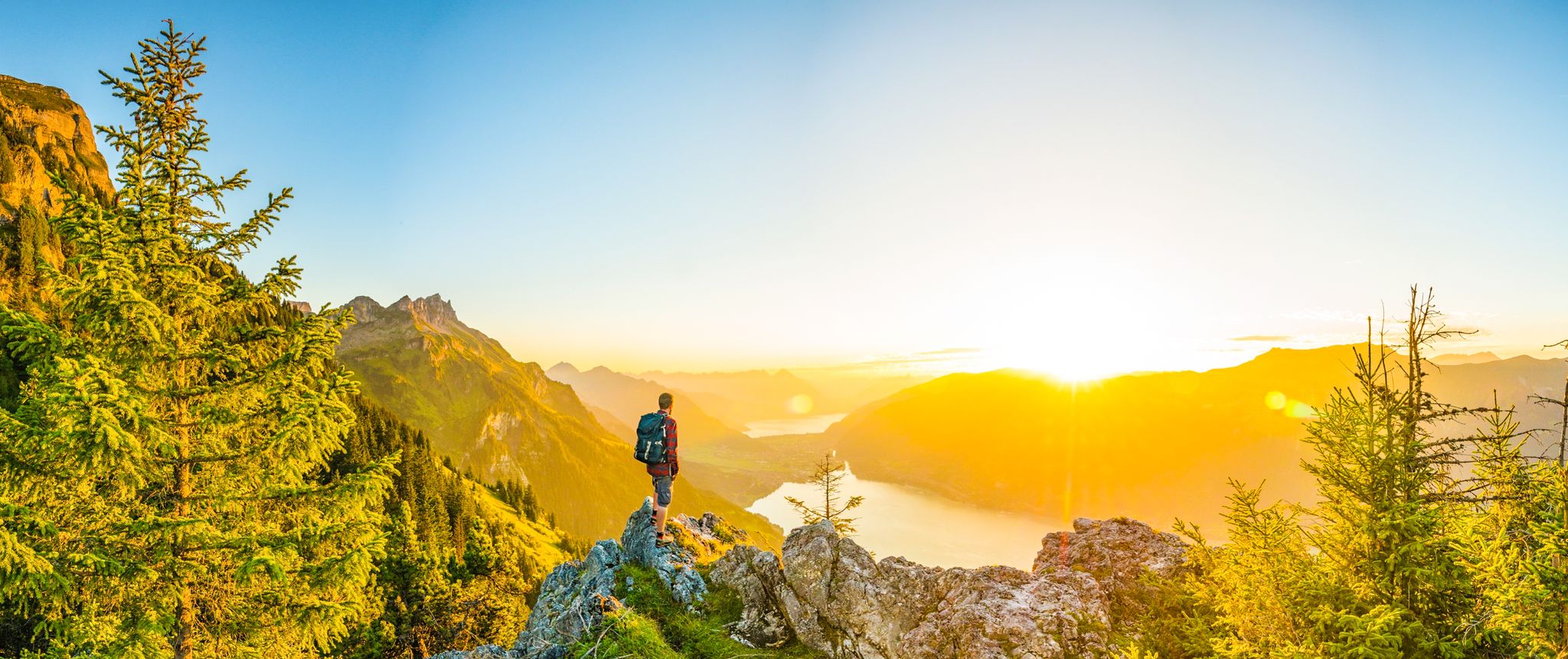
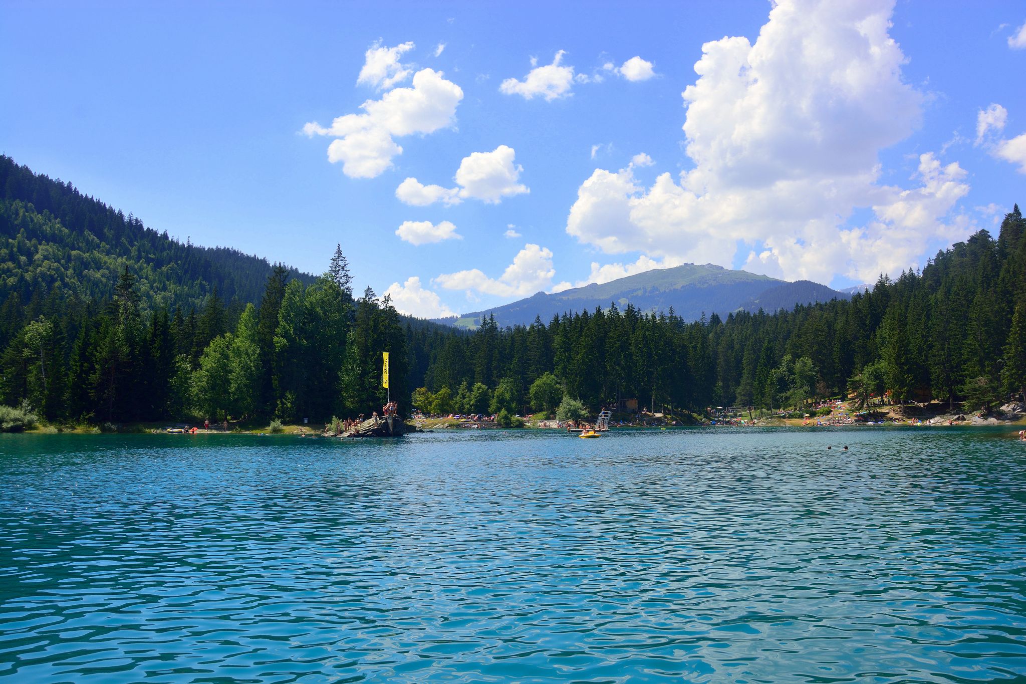
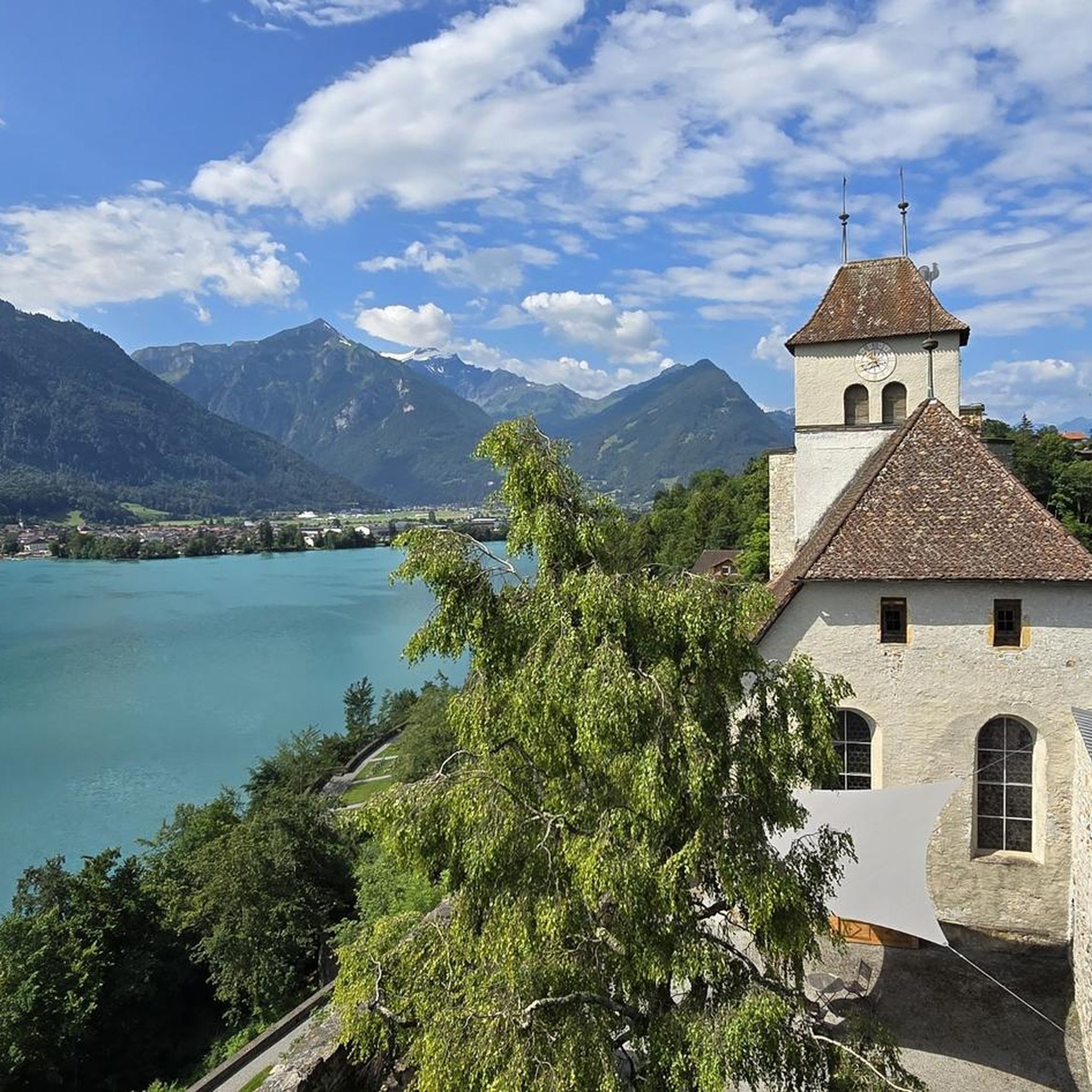
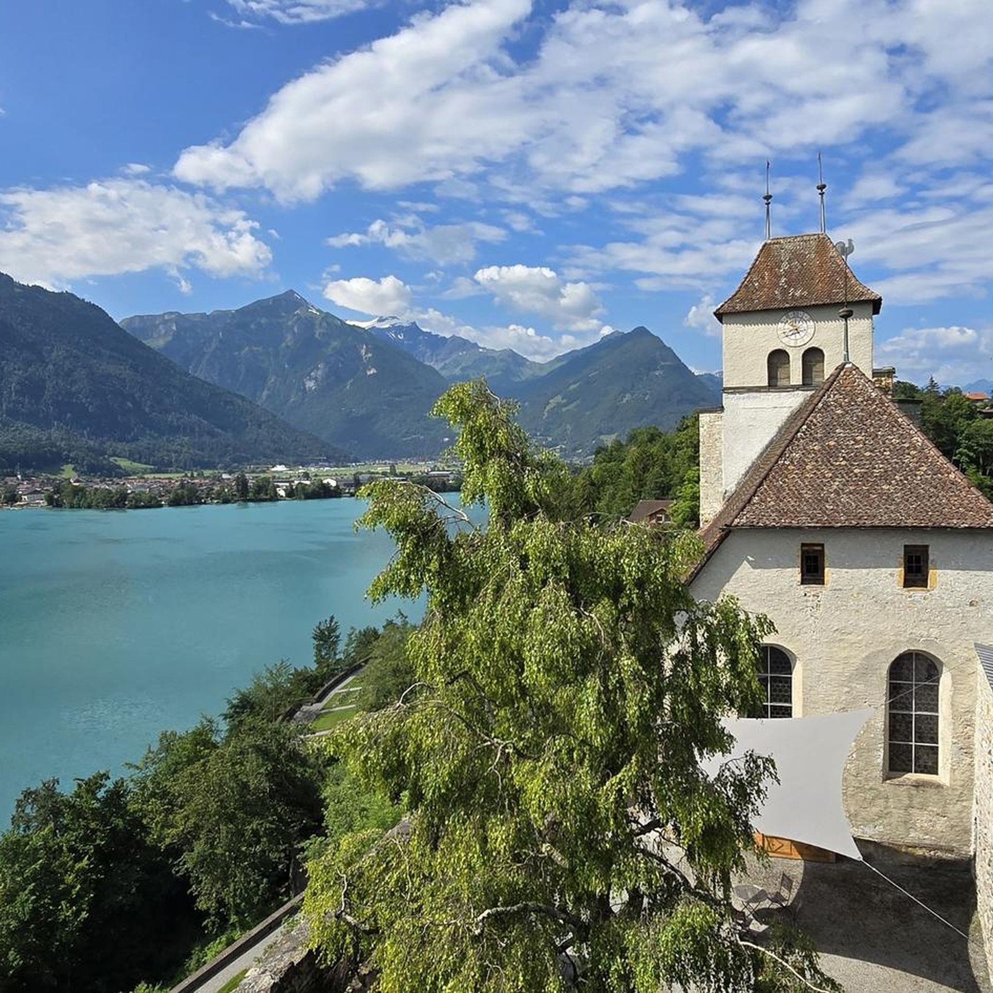
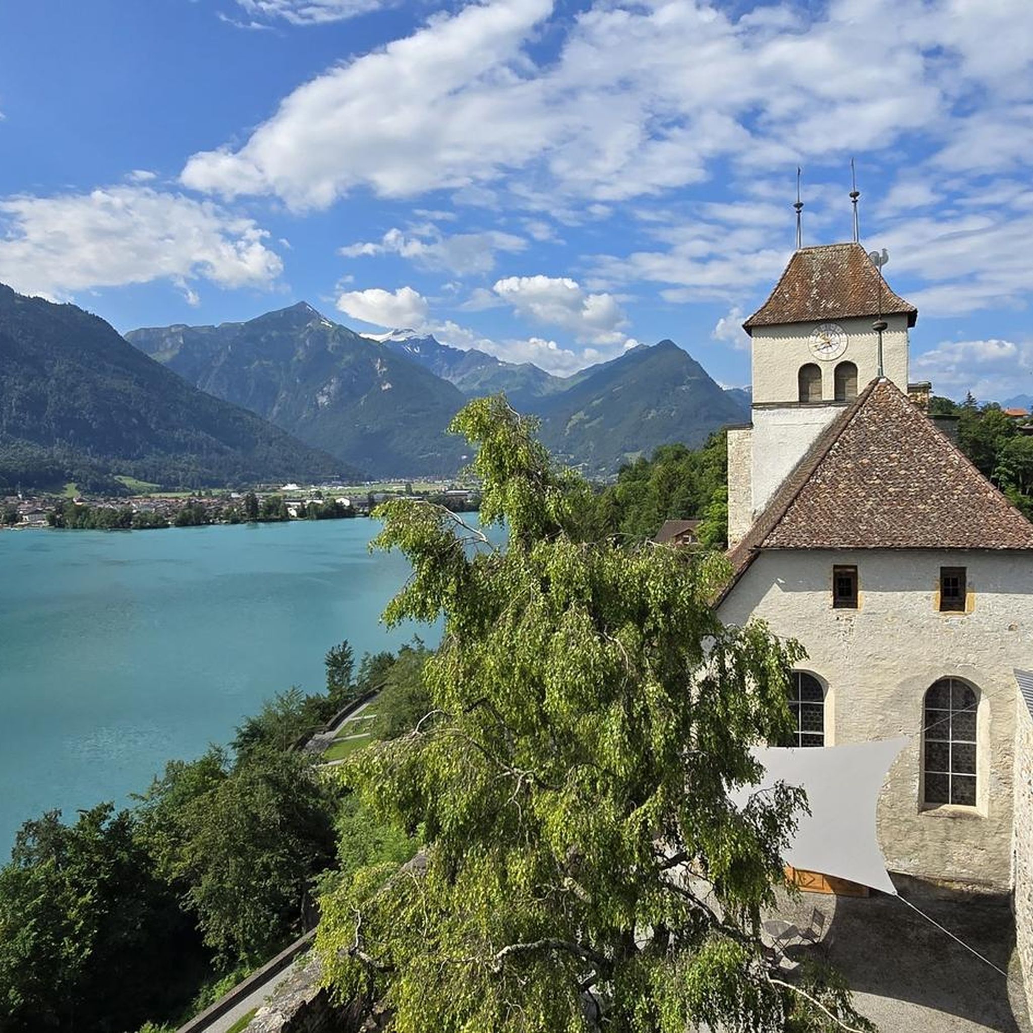
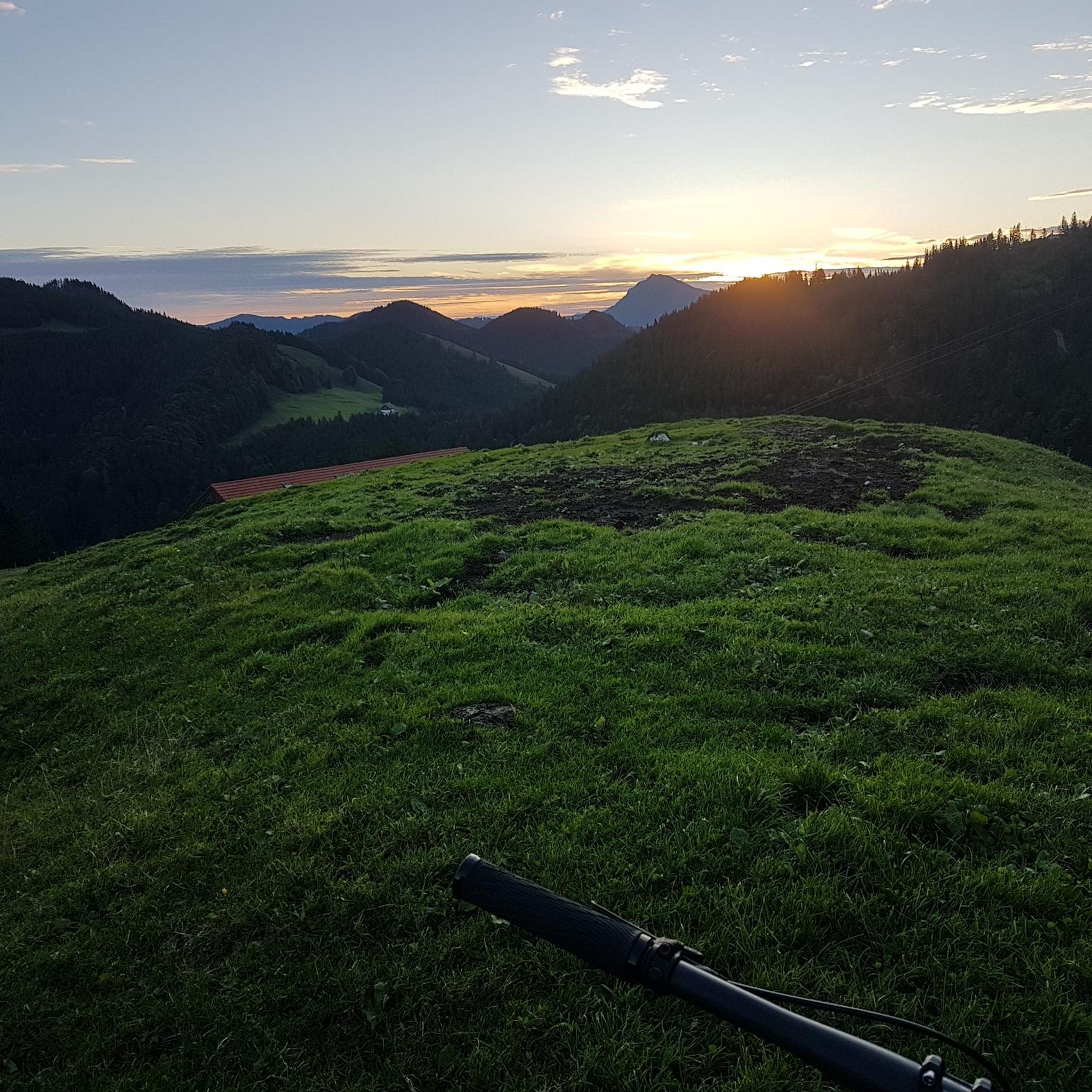
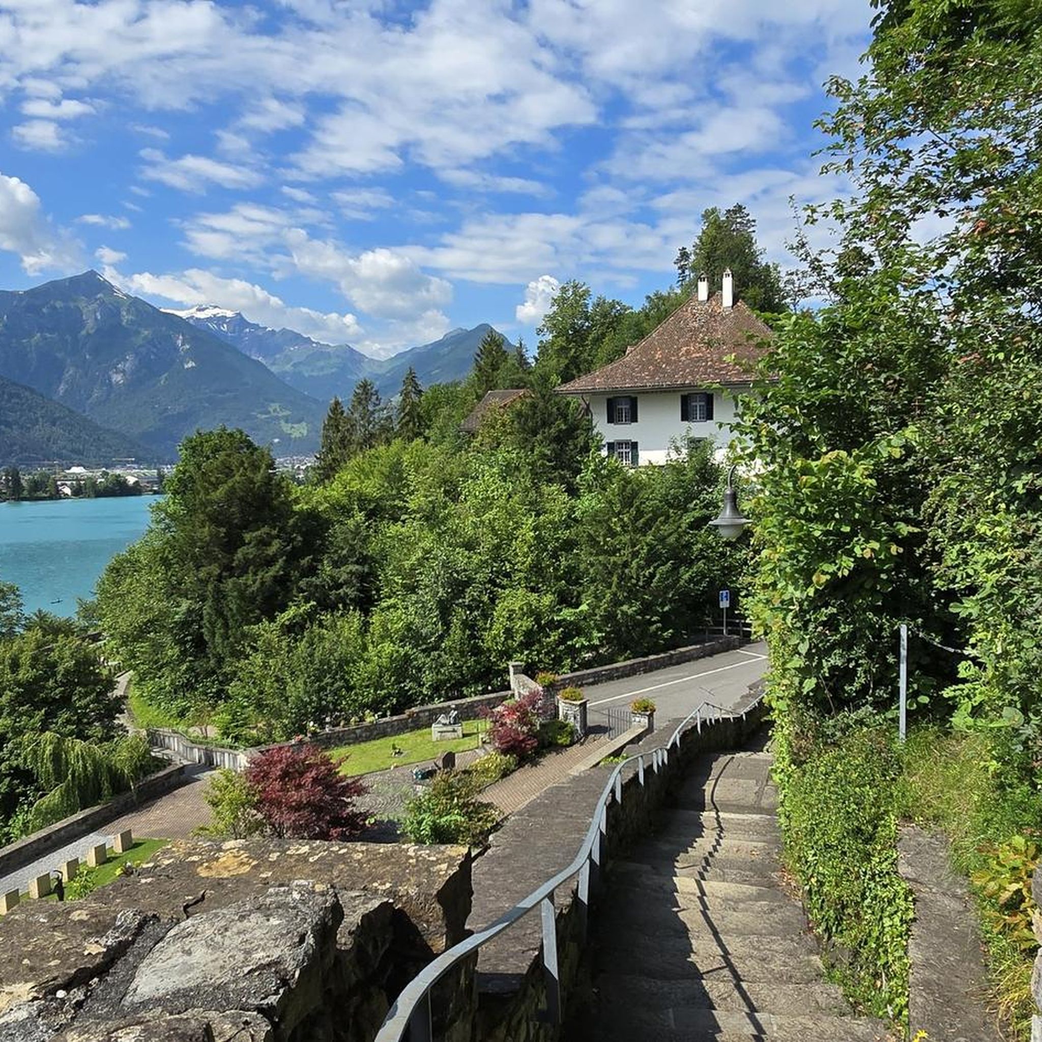


커뮤니티 팁


An incredibly vibrant emerald green color under the right lighting conditions.
1
0
The waterfront promenade is a real highlight. And it's not yet overrun with tourists.
0
0

There are 2 whitewater rivers that look gray and are incredibly wild flowing into that mega-large, almost stagnant green/blue lake
0
0

The tandem paragliders land in the heart of Interlaken. Coachmen invite them on a tourist ride. Many Asians stroll through the city, where it's all about sightseeing and taking selfies.
0
1

Very nice restaurant at the pool for a relaxing break. 🥰
2
0

Lake Brienz Lake Brienz is located in the Bernese Oberland between the communities of Interlaken in the west and Brienz in the east. The lake area is located in the communities of Ringgenberg, Niederried, Oberried and Brienz on the northern shore of the lake and Interlaken, Bönigen and Iseltwald on the southern shore. The large Bernese Oberland lake is fed by many mountain streams, mainly by the Aare in the east and the Lütschine in the west. At Interlaken, the Aare flows out of the turquoise-blue Lake Brienz and flows back into Lake Thun a little later in the Weissenau area. At normal water levels, the lake is at an altitude of 564 meters above sea level. With an area of almost 30 square kilometers, Lake Brienz is the eleventh largest lake in Switzerland and the third largest in the canton of Bern after Lake Thun and Lake Biel. It stretches 14km in an east-west direction and is almost three kilometers wide. There is only one island in Lake Brienz. The snail island - dialect: Schnäggeninseli - is located around 250m from the shore near Iseltwald. The circumference of Lake Brienz is almost 35km. The annual Lake Brienz Run circles the lake along the shore. Text / Source: Schweizersee.ch https://www.schweizersee.ch/brienzersee/
12
0
Swimming in Lake Brienz The clear but often cold Lake Brienz offers only a few wild bathing spots due to the steep slopes, but is considered the cleanest lake in Switzerland. There are four lidos spread around the lake. These are the Niederried outdoor pool, the Bönigen lido, the Iseltwald lido and the Brienz lido. An overview of the four lidos can be found here: «Lake Brienz lidos». If you need warmer temperatures for your bathing fun, the nearby Burgseeli in Ringgenberg is recommended. Text / Source: Schweizersee.ch https://www.schweizersee.ch/brienzersee/
12
0
브리엔저제 주변에서 가장 인기 있는 명소


더 살펴보기
다른 지역의 최고의 러닝 트레일 & 경로를 살펴보세요.
