그림젤제 최고의 등산 경로
4.8
(26)
186
등산객
15
하이킹
그림젤제에서 하이킹하며 인터라켄 오버하슬리 구석 부분까지 살펴볼까요? 그림젤제에 있는 모든 하이킹 및 워킹 경로 컬렉션 중 가장 멋진 하이킹 경로를 엄선하여 소개해드릴게요. 다른 하이커가 공유한 실제 팁과 사진을 살펴보고 후기를 읽으며 마음에 드는 그림젤제 워킹 경로를 찾아보세요.
마지막 업데이트: 9월 26, 2026
5.0
(1)
12
등산객
6.35km
03:16
540m
540m
어려운 등산 코스. 좋은 체력 필요. 튼튼한 신발을 신고 미끄러지지 않게 조심해야 하며, 높은 산을 오른 경험이 있어야 함.
4.0
(2)
5
등산객
10.8km
05:06
730m
730m
어려운 등산 코스. 우수한 체력 필요. 튼튼한 신발을 신고 미끄러지지 않게 조심해야 하며, 높은 산을 오른 경험이 있어야 함.

4.6
(10)
39
등산객
13.1km
05:44
590m
590m
어려운 등산 코스. 우수한 체력 필요. 튼튼한 신발을 신고 미끄러지지 않게 조심해야 하며, 높은 산을 오른 경험이 있어야 함.
5.0
(2)
9
등산객
8.42km
03:56
460m
460m
어려운 등산 코스. 좋은 체력 필요. 튼튼한 신발을 신고 미끄러지지 않게 조심해야 하며, 높은 산을 오른 경험이 있어야 함.
5.0
(1)
6
등산객
4.61km
01:48
130m
130m
어려운 등산 코스. 모든 체력 수준에 적합. 튼튼한 신발을 신고 미끄러지지 않게 조심해야 하며, 높은 산을 오른 경험이 있어야 함.
더 다양한 경로와 다른 탐험가들의 추천을 살펴보세요.
이미 komoot 계정이 있나요?
투어 추천은 다른 사람들이 komoot에서 완료한 수천 개의 활동을 바탕으로 구성되어 있습니다.
오늘 무료 계정으로 시작하세요
다음 모험이 기다리고 있어요.

커뮤니티 팁

Spectacular climb on the wall, easy to climb but still a thrill.
1
0

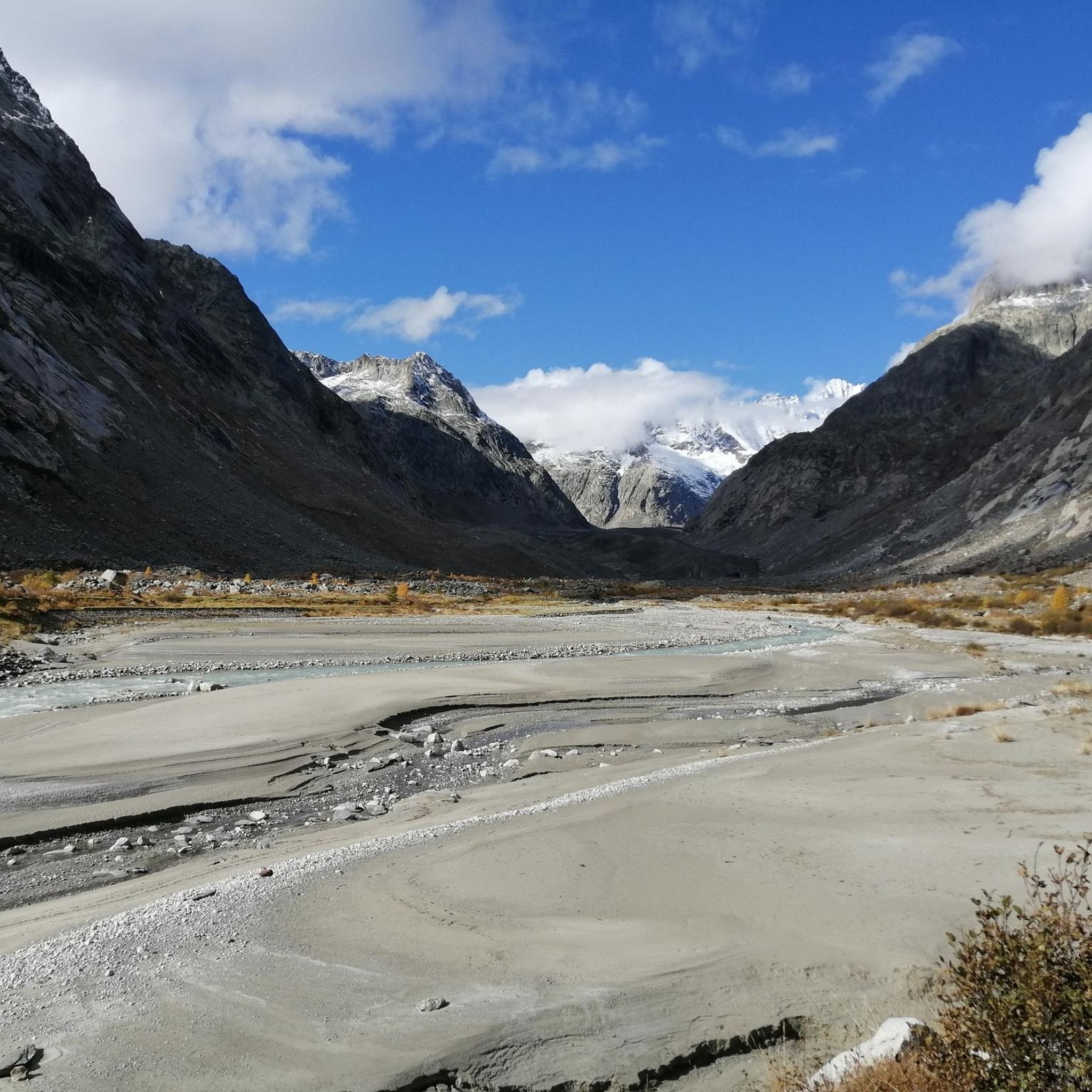
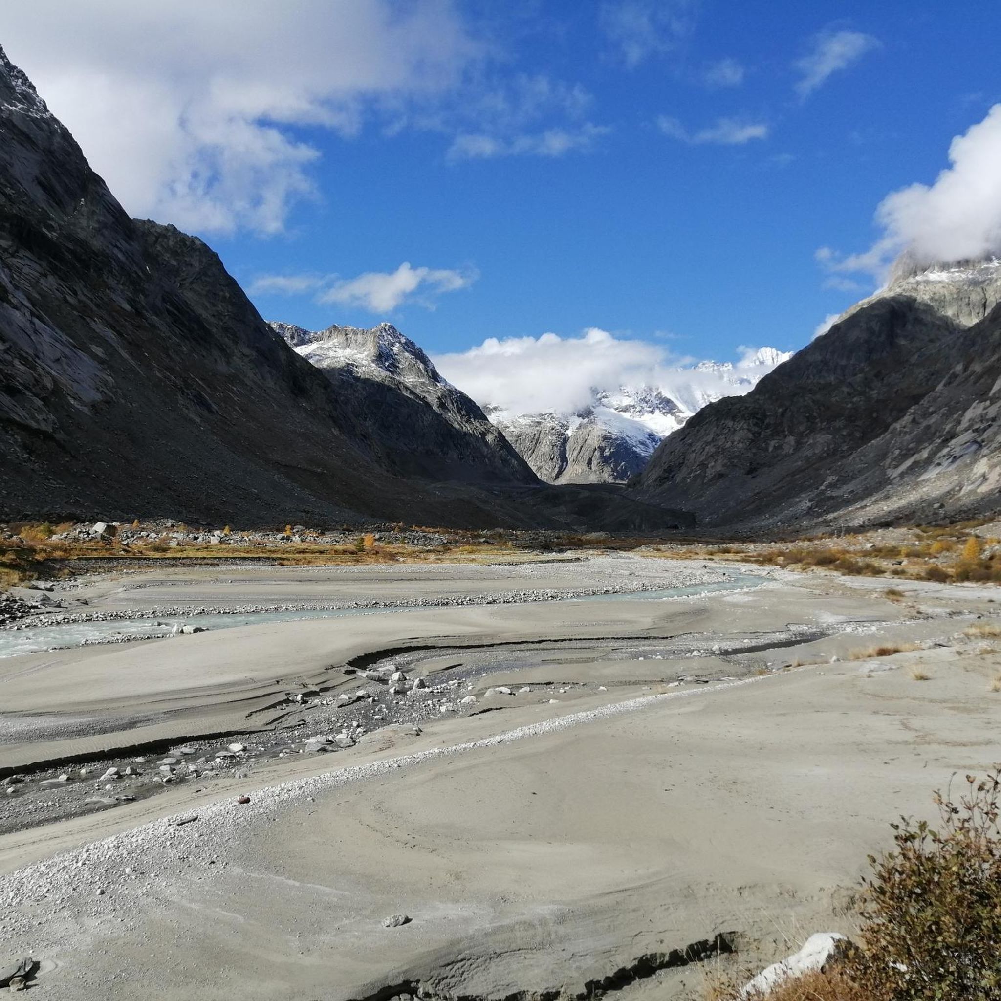
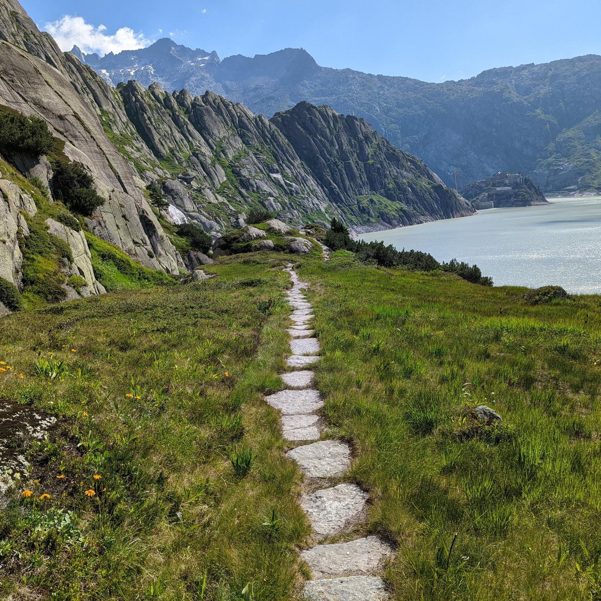
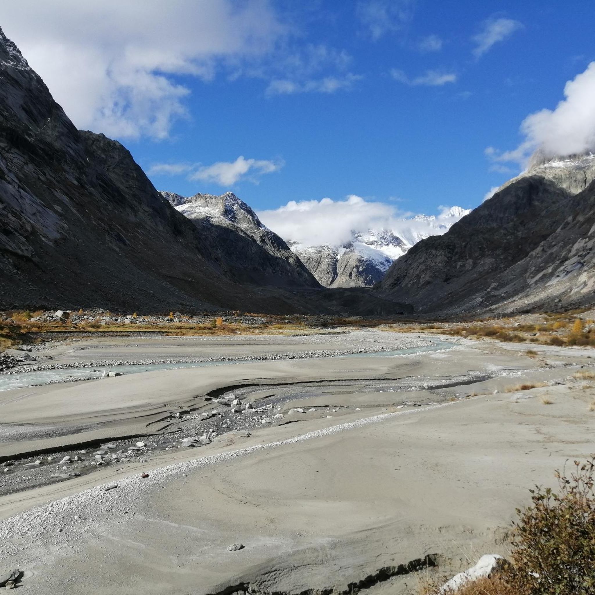
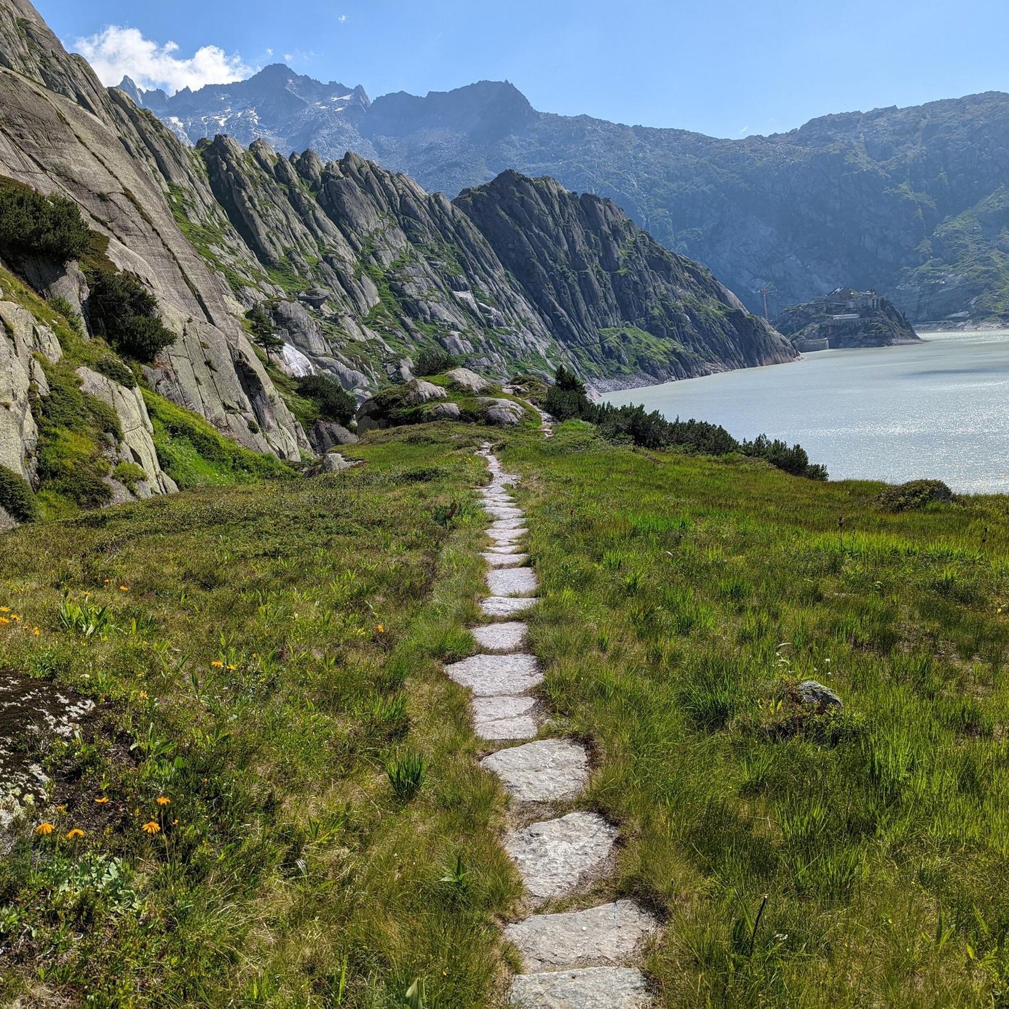
The Gelmer Dam above Handegg is 35 meters high and 370 meters long. It dams the turquoise-colored Gelmersee at 1,850 meters, which is used to generate electricity. The steep Gelmerbahn cable car (up to 106% gradient) takes you spectacularly to the dam in just 12 minutes – from there, the circular hike around the lake begins (4.5 km / 2–3 hours / T2–T3). Surefootedness is required: narrow rocky paths, secured with ropes – not suitable for strollers. 🔹 Panoramic trail around the lake 🔹 Ascent to the Gelmerhütte SAC (2,412 meters) is possible
0
0

The Sidelhorn is a 2764 m high mountain in the Bernese Alps massif in Switzerland. It lies on the border of the cantons of Valais and Bern and on the European main watershed. https://de.m.wikipedia.org/wiki/Sidelhorn
4
0

In foggy weather you can't sunbathe, but it is still worth seeing and definitely worth a visit.
0
0
You should bring sturdy shoes and surefootedness. If it rains, hiking poles are highly recommended.
0
0
Sturdy shoes and surefootedness are recommended. Hiking poles would be ideal.
0
0

The path consists of large stones that serve as steps. They are of different heights and widths and the path is narrow in places and goes steeply downhill.
0
0

The Grimsel offers a very respectable difference in altitude, particularly from Innertkirchen, spectacular views in the upper third and a beautiful pass - definitely worth a ride. If you can, we recommend riding in the morning hours, the sunrise at the top of the pass is something very special.
4
0


