슈타인제 최고의 등산 경로
4.9
(74)
747
등산객
14
하이킹
슈타인제에서 하이킹하며 인터라켄 오버하슬리 구석 부분까지 살펴볼까요? 슈타인제에 있는 모든 하이킹 및 워킹 경로 컬렉션 중 가장 멋진 하이킹 경로를 엄선하여 소개해드릴게요. 다른 하이커가 공유한 실제 팁과 사진을 살펴보고 후기를 읽으며 마음에 드는 슈타인제 워킹 경로를 찾아보세요.
마지막 업데이트: 10월 9, 2026
5.0
(3)
60
등산객
9.18km
06:25
820m
820m
어려운 등산 코스. 우수한 체력 필요. 튼튼한 신발을 신고 미끄러지지 않게 조심해야 하며, 높은 산을 오른 경험이 있어야 함.
5.0
(2)
7
등산객
4.37km
01:46
230m
230m
보통 등산 코스. 모든 체력 수준에 적합. 대부분 갈 수 있는 길. 미끄러지지 않게 조심해야 함.

4.9
(18)
179
등산객
4.81km
05:00
670m
670m
어려운 등산 코스. 좋은 체력 필요. 튼튼한 신발을 신고 미끄러지지 않게 조심해야 하며, 높은 산을 오른 경험이 있어야 함.
5.0
(2)
70
등산객
8.83km
07:00
920m
920m
어려운 등산 코스. 우수한 체력 필요. 튼튼한 신발을 신고 미끄러지지 않게 조심해야 하며, 높은 산을 오른 경험이 있어야 함.
13
등산객
2.36km
02:11
290m
290m
어려운 등산 코스. 좋은 체력 필요. 튼튼한 신발을 신고 미끄러지지 않게 조심해야 하며, 높은 산을 오른 경험이 있어야 함.
더 다양한 경로와 다른 탐험가들의 추천을 살펴보세요.
이미 komoot 계정이 있나요?
투어 추천은 다른 사람들이 komoot에서 완료한 수천 개의 활동을 바탕으로 구성되어 있습니다.
오늘 무료 계정으로 시작하세요
다음 모험이 기다리고 있어요.
슈타인제 주변 인기 장소
커뮤니티 팁

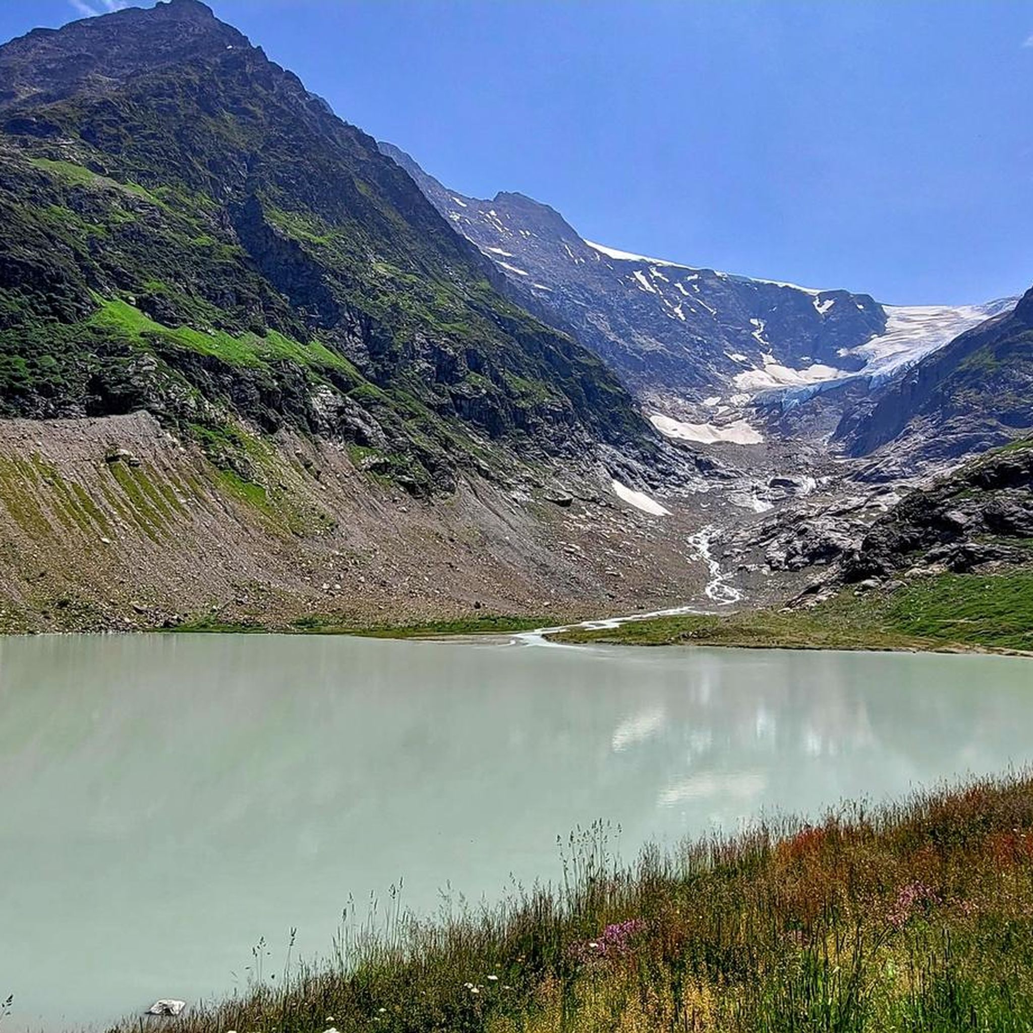
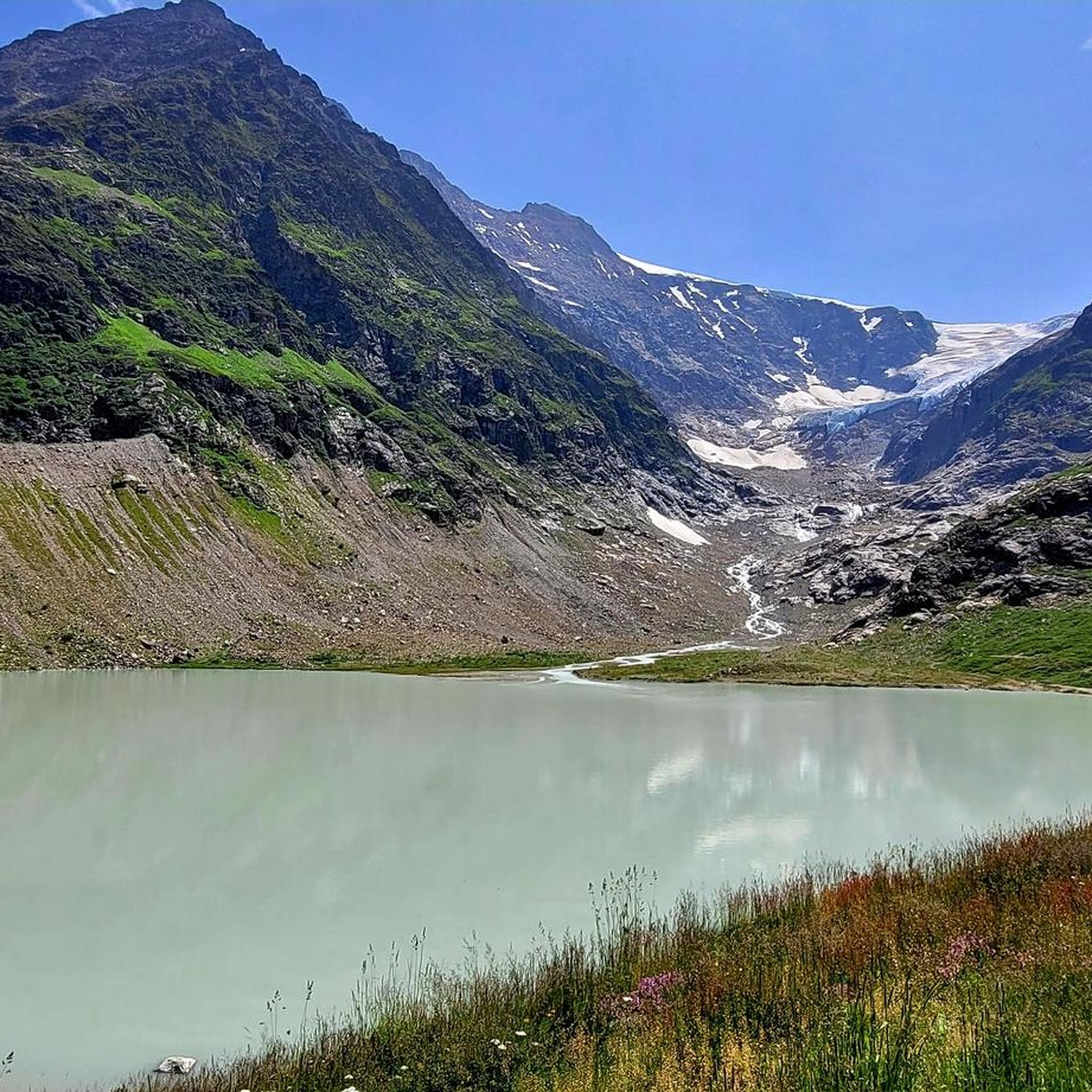
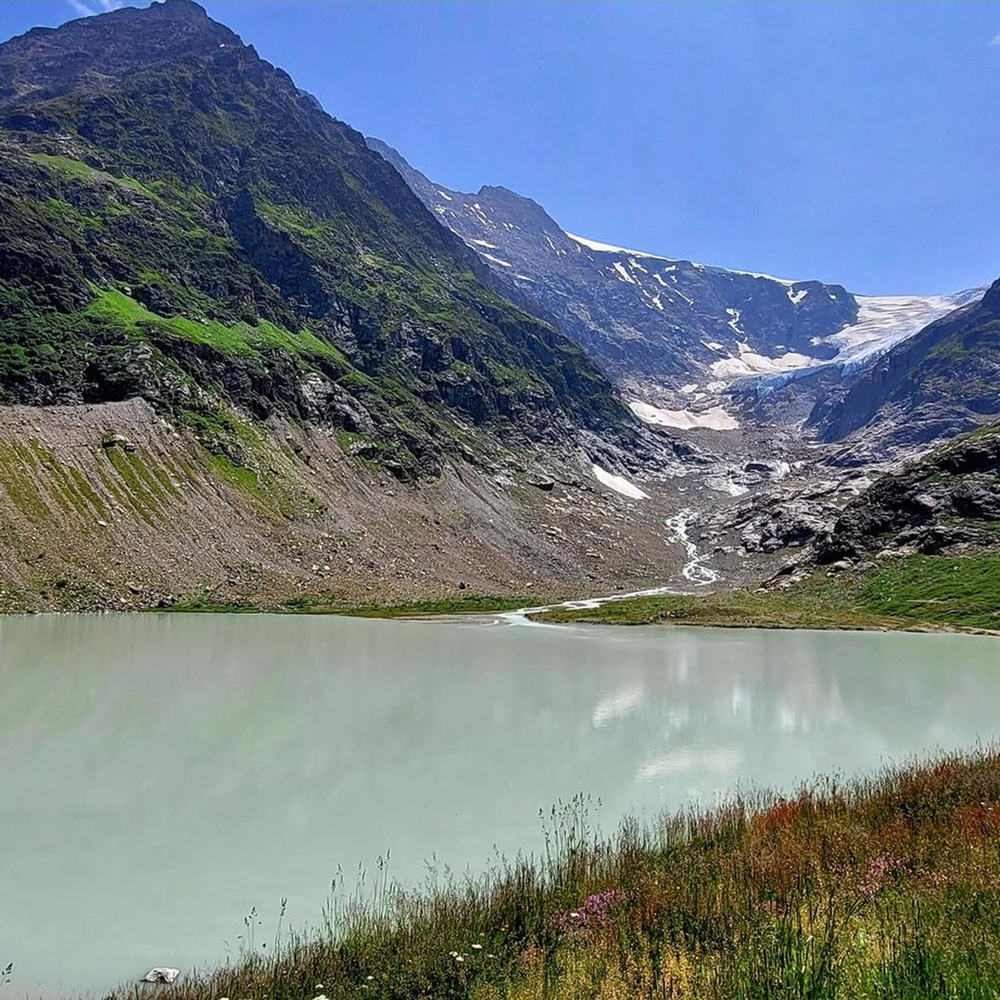
Very pretty but as with all such glaciers receding quickly
0
0
Relatively easy but in shadow early on so can be cold &/or damp
0
0

Alpine adventure with a glacier view! From the Umpol parking lot (2,111 m), the route leads directly onto the varied via ferrata (K4/B/C) 🧗♂️ – from moderate passages to the slightly overhanging crux (optional) 💪🔗. The view of the Steingletscher and peaks like the Sustenhorn and Vorder Tierberg is simply breathtaking 🤩❄️. After the exit, a marked trail leads through scree and rocky ledges up to the Tierberglihütte SAC (2,795 m) 🛖☀️ – a perfect place for a break with a stunning panorama 🏞️. Descend via the Alpine hiking trail (white, blue, white) back to the parking lot. 📌 Facts & Figures 🥾 Distance: approx. 4.5 km ⏱️ Duration: 4–5 hours (total) ⛰ Elevation Gain: approx. 680 m ⚠️ Difficulty: K4/B/C, T3 – surefooted, free from vertigo, and full via ferrata equipment required! 🎒🪢
1
0

Total time for both sections of the via ferrata is 4.5 hours, of which the via ferrata takes 2.5 hours, the further section to the hut takes 30 minutes, and the descent takes 1.5 hours.
1
0
The via ferrata, an alternative to the approach from the Tierbergli Hut, takes place against a wonderful Alpine backdrop. This is where the first stage of the via ferrata starts. It is a very scenic ferrata, although the course is not very uniform: the first section is mostly K2, at most K3, but with a tough crux quite high up (K4). The route includes a loop over lots of scree and moderately steep rock to a slightly overhanging wall section, which is quite challenging as a crux despite the ample protection. After the first stage, the descent takes a T3 hiking route back to the starting point (car park). The second section is somewhat more difficult than the first. At the top, you can get food and drink at the Tierbergli Hut. The total time for both sections is 4.5 hours, of which both sections of the via ferrata take 2.5 hours, the walk to the hut takes 30 minutes, and the descent takes 1.5 hours.
0
0
The via ferrata, an alternative to the approach from the Tierbergli Hut, takes place against a stunning Alpine backdrop. At this point, you can exit the first stage and descend via a T3 hiking route back to the starting point (parking lot). This point also marks the start of the second section of the via ferrata. The second section is somewhat more difficult than the first. The second section is predominantly K3 with scree sections in between. Only attempt this route in good weather; in wet (or icy) conditions, the blocky rocks are dangerously slippery. At the top, you can get food and drink at the Tierbergli Hut.
1
0

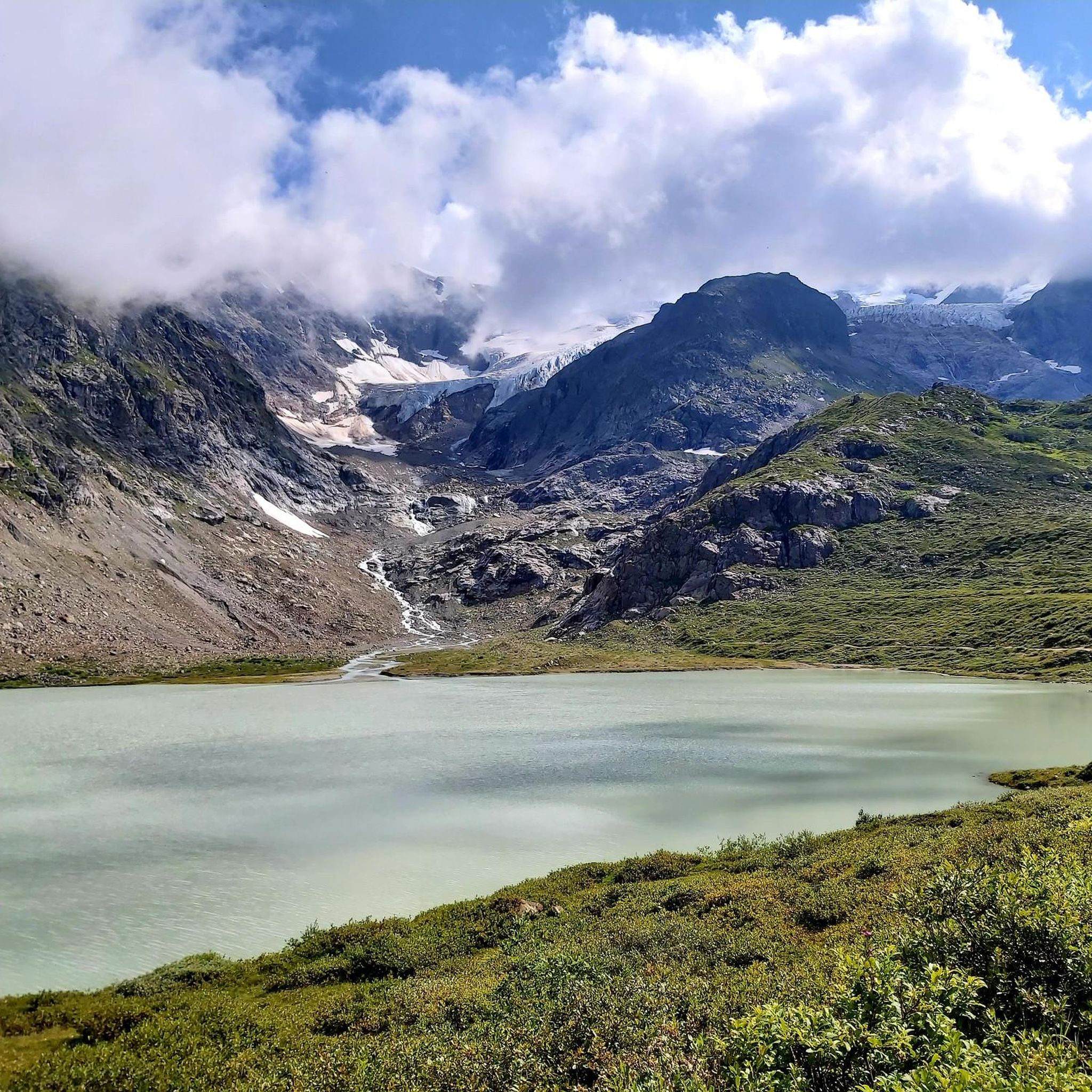
You are at the top of the Tierbärgli, at an altitude of 2,800 metres. But more than the summit, the star here is called the Stein Glacier. In front of you, it presents itself in all its splendour.
0
0


