판타 데 다르니우스 보아델라 최고의 사이클링 경로
4.1
(89)
986
자전거 타는 사람
91
라이딩
판타 데 다르니우스 보아델라에 자전거 라이딩을 할 수 있는 경로는 많은데, 어디서 출발해야 할지 모르시겠다고요? 아름다운 호수를 구경할 수 있도록 가장 멋진 경로를 알려드릴게요. 망설이지 말고, 마음에 드는 판타 데 다르니우스 보아델라 사이클링 경로를 아래에서 찾아보세요.
마지막 업데이트: 10월 15, 2026
16
자전거 타는 사람
43.5km
04:25
1,290m
1,290m
어려운 자전거 타기. 우수한 체력 필요. 투어 중 자전거를 끌고 가야 하는 구간이 있을 수 있음.
5.0
(4)
29
자전거 타는 사람
40.8km
03:09
220m
400m
보통 자전거 타기. 좋은 체력 필요. 대부분 포장된 지면. 실력과 관계없이 누구나 갈 수 있음.

4.7
(10)
72
자전거 타는 사람
31.0km
02:39
630m
630m
어려운 자전거 타기. 우수한 체력 필요. 대부분 포장된 지면. 실력과 관계없이 누구나 갈 수 있음.
5.0
(1)
24
자전거 타는 사람
28.3km
01:48
290m
290m
보통 자전거 타기. 좋은 체력 필요. 대부분 포장된 지면. 실력과 관계없이 누구나 갈 수 있음.
2.0
(1)
9
자전거 타는 사람
22.5km
01:46
420m
420m
보통 자전거 타기. 좋은 체력 필요. 대부분 포장된 지면. 실력과 관계없이 누구나 갈 수 있음.
더 다양한 경로와 다른 탐험가들의 추천을 살펴보세요.
이미 komoot 계정이 있나요?
투어 추천은 다른 사람들이 komoot에서 완료한 수천 개의 활동을 바탕으로 구성되어 있습니다.
오늘 무료 계정으로 시작하세요
다음 모험이 기다리고 있어요.
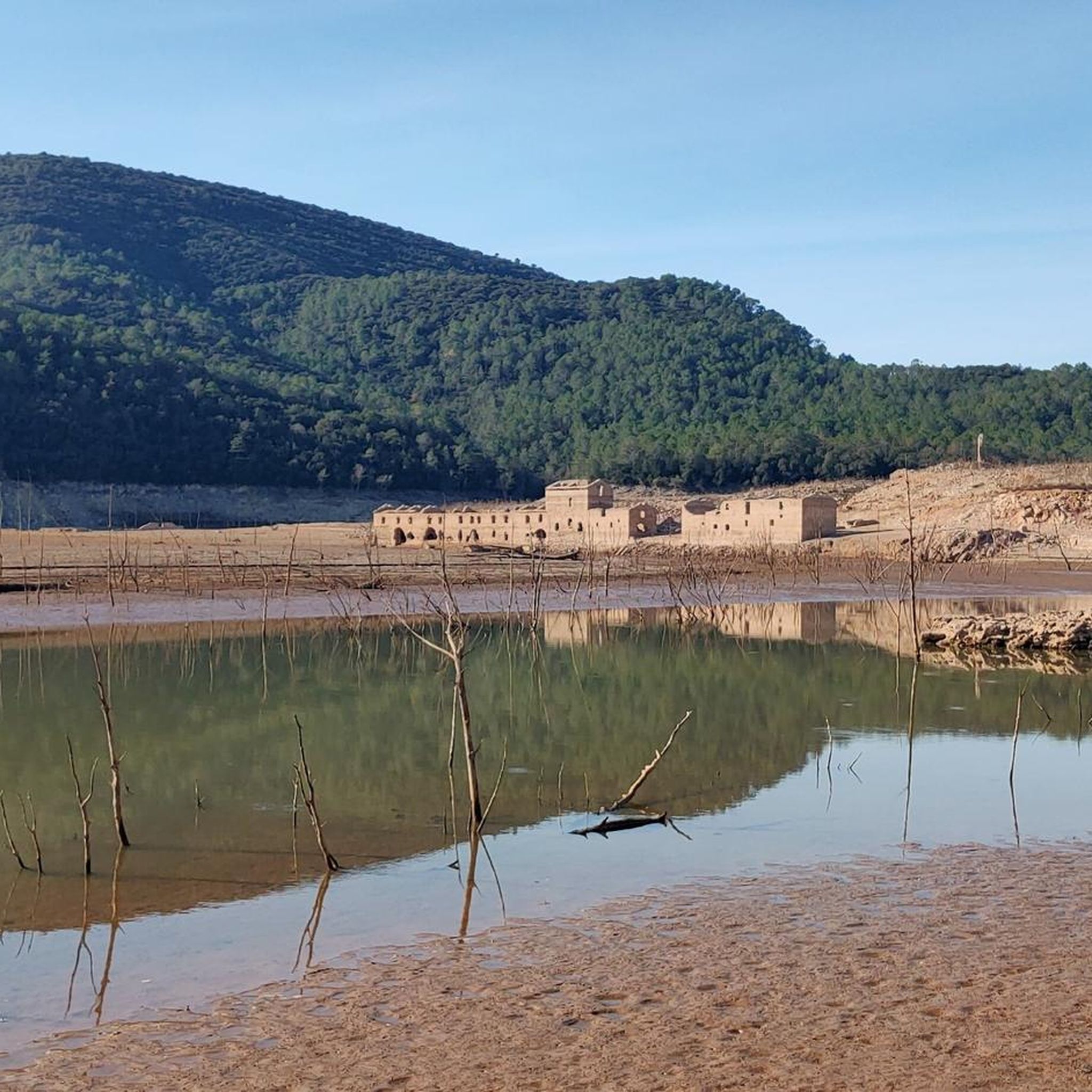
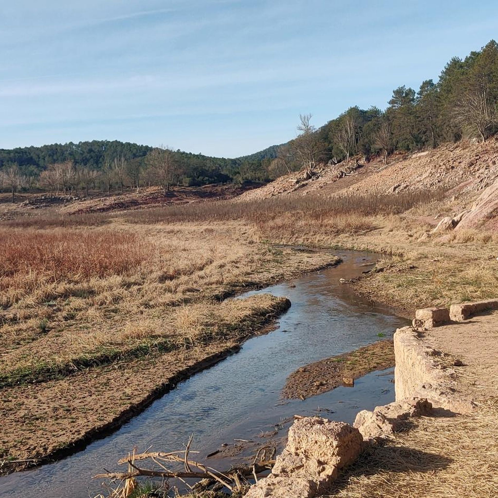
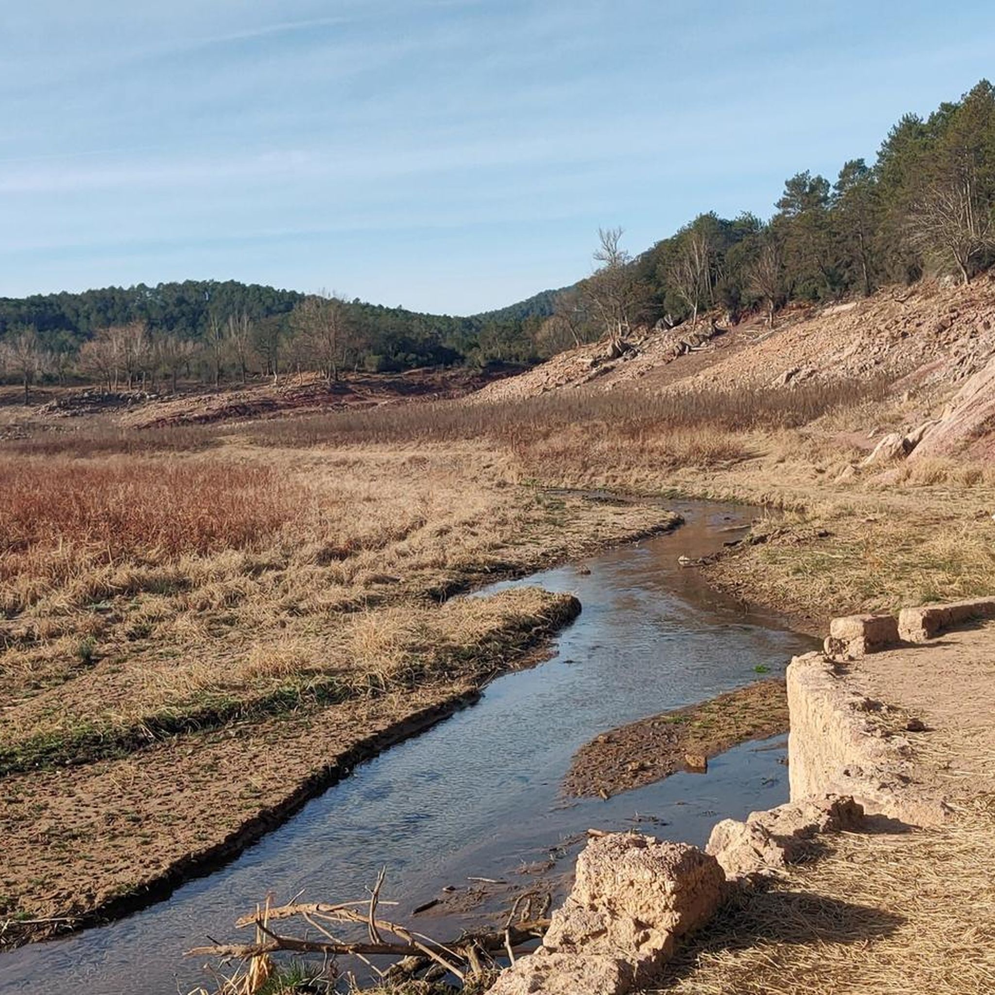

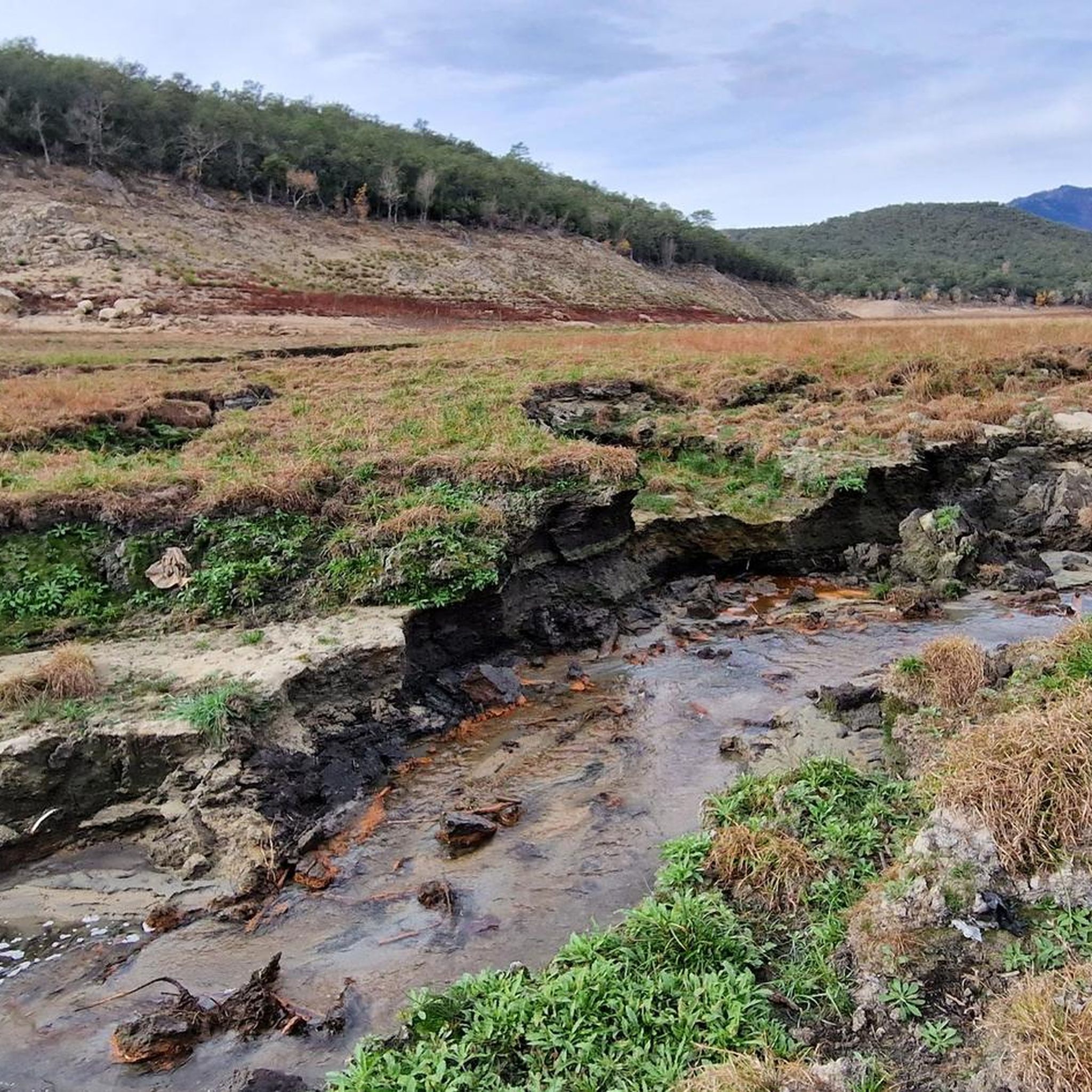
커뮤니티 팁

Small fountain 15 meters from the track and the river.
0
0


Motorhome campsite and also start and finish of cycle route.
0
0

This pass was important as a passage between regions, especially in activities such as transhumance or the transport of goods. The snow wells that give the place its name were also key elements in the economy of the mountainous areas. The term "Pou de la Neu" refers to the snow or ice wells that were traditionally used to store snow during the winter. These structures, dug into the ground or built with stones, served to preserve ice that was later transported to the lower areas for use in food, medicine or food preservation.
1
0

La Resclosa del Molí de Calvet, located in the charming town of Pont de Molins, is a place of great natural beauty and historical value. This dam, built on the Muga River, originally served to divert water to the old Calvet mill, which was an integral part of the agricultural and economic life of the region. Today, the resclosa is a point of tourist interest and an excellent example of Girona's hydraulic heritage, offering visitors a glimpse into the ingenuity and history of the ancient irrigation systems and mills. In addition to its historical interest, the Resclosa del Molí de Calvet is a perfect place for rest and recreation. Next to the rest area, there is a rest area equipped with tables, ideal for enjoying a picnic in a quiet and picturesque environment. This space offers visitors the opportunity to relax by the river, enjoy nature and recharge before continuing to explore the region. It is a popular destination for families as well as hikers and cyclists who travel the nearby routes, providing a welcoming respite amidst the natural landscape of Pont de Molins.
1
0
The Muga Natural Trail is a spectacular route that invites hikers and cyclists to discover the beauty of the Girona regions. This trail follows the course of the Muga River, offering a route of approximately 40 kilometers that connects the mouth in Empuriabrava with the Pyrenees mountains. One of the most notable features of this path is the impressive panoramic view of the Pyrenees. The path passes through a variety of landscapes, from forested areas and agricultural fields to charming rural villages, allowing users to enjoy the biodiversity and cultural richness of the region. The combination of varied landscapes and impressive views of the Pyrenees makes this path a gem to discover in Girona.
0
0
무가강은 알트 엠포르다 지역을 구불구불 흐르는 자연의 보석으로, 다양한 풍경과 풍부한 생물 다양성을 제공합니다. 피레네 산맥 기슭에서 발원한 무가강은 약 58킬로미터를 흘러 지중해, 특히 카스텔로 데 엠푸리에스 시의 엠푸리아브라바 지역에서 최종 목적지를 만납니다. 엠푸리아브라바에서 무가강의 하구는 그 자체로 장관입니다. 엠푸리아브라바는 광범위한 항해 가능한 운하 네트워크로 인해 "지중해의 베네치아"로 알려져 있으며, 강이 바다와 만나는 지점은 담수와 해수의 만남의 장소가 됩니다. 이 지역은 바람과 물의 유리한 조건 덕분에 항해 및 카이트서핑과 같은 수상 스포츠 애호가들에게 특히 인기가 있습니다. 또한, 무가강 하구와 그 주변은 카탈루냐에서 가장 중요한 습지 중 하나인 엠포르다 습지 자연공원의 일부를 형성합니다. 이 공원은 수많은 철새 종들에게 중요한 안식처이며 이 지역의 자연의 아름다움을 보여주는 장관입니다.
0
0

판타 데 다르니우스 보아델라 주변에서 가장 인기 있는 경로
판타 데 다르니우스 보아델라 주변에서 가장 인기 있는 명소


더 살펴보기
다른 지역의 최고의 자전거 경로를 살펴보세요.
