엠발스 드 엘 부르기요 최고의 라이딩 경로
4.3
(9)
1,759
자전거 타는 사람
58
라이딩
엠발스 드 엘 부르기요 최고의 로드 사이클링 경로를 찾으시나요? 그렇다면 아름다운 발레 바조 알베르체 호수 주변의 라이딩 컬렉션을 아래에서 살펴본 후, 엠발스 드 엘 부르기요의 여러 가지 모습을 직접 만나보세요.
마지막 업데이트: 8월 21, 2026
61
자전거 타는 사람
71.8km
03:19
880m
880m
보통 도로 자전거 타기. 좋은 체력 필요. 지면 대부분이 잘 포장되어 있고 라이딩하기 쉬움.
17
자전거 타는 사람
34.1km
01:39
480m
480m
보통 도로 자전거 타기. 좋은 체력 필요. 지면 대부분이 잘 포장되어 있고 라이딩하기 쉬움.

무료 회원 가입
3.7
(3)
72
자전거 타는 사람
72.9km
03:47
1,290m
1,290m
어려운 도로 자전거 타기. 우수한 체력 필요. 투어 중 라이딩하기 어려운 비포장 구간이 있을 수 있음.
33
자전거 타는 사람
48.4km
02:15
590m
590m
보통 도로 자전거 타기. 좋은 체력 필요. 지면 대부분이 잘 포장되어 있고 라이딩하기 쉬움.
19
자전거 타는 사람
64.0km
03:25
1,260m
1,260m
어려운 도로 자전거 타기. 우수한 체력 필요. 지면 대부분이 잘 포장되어 있고 라이딩하기 쉬움.
더 다양한 경로와 다른 탐험가들의 추천을 살펴보세요.
무료 회원 가입
이미 komoot 계정이 있나요?
투어 추천은 다른 사람들이 komoot에서 완료한 수천 개의 활동을 바탕으로 구성되어 있습니다.
오늘 무료 계정으로 시작하세요
다음 모험이 기다리고 있어요.
로그인 또는 가입하기
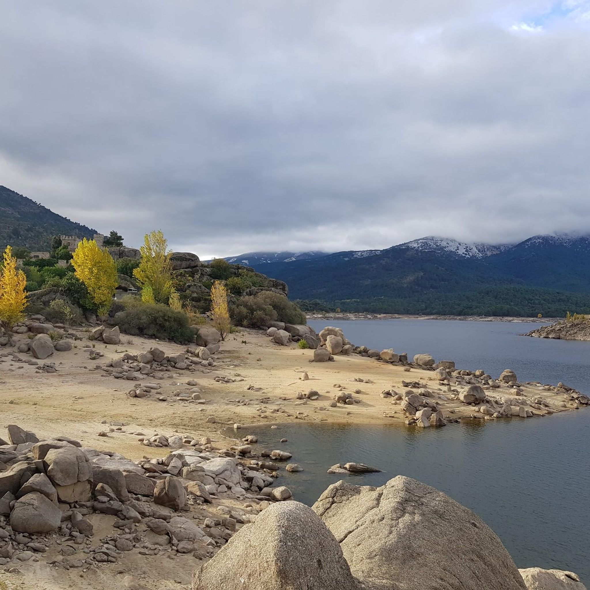

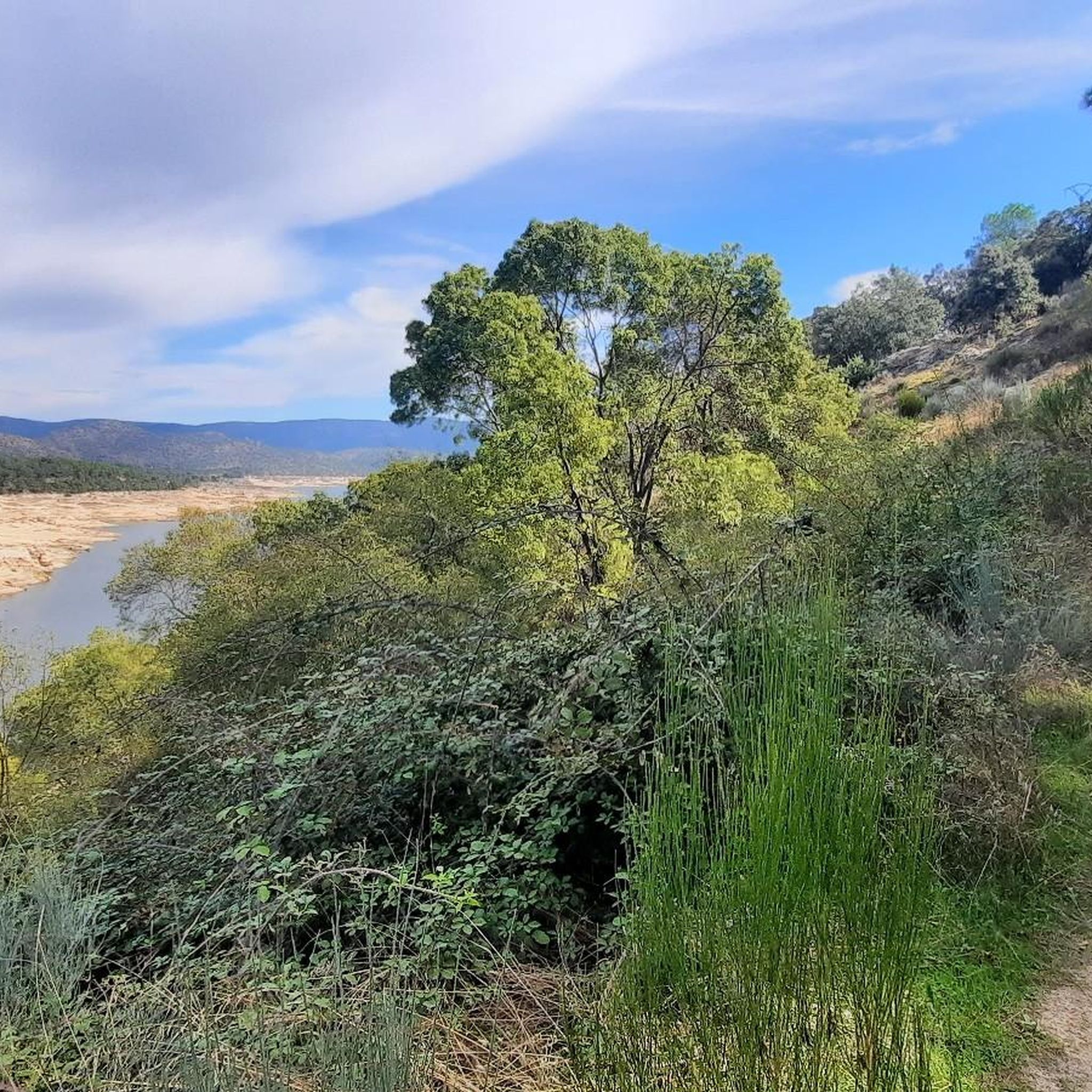
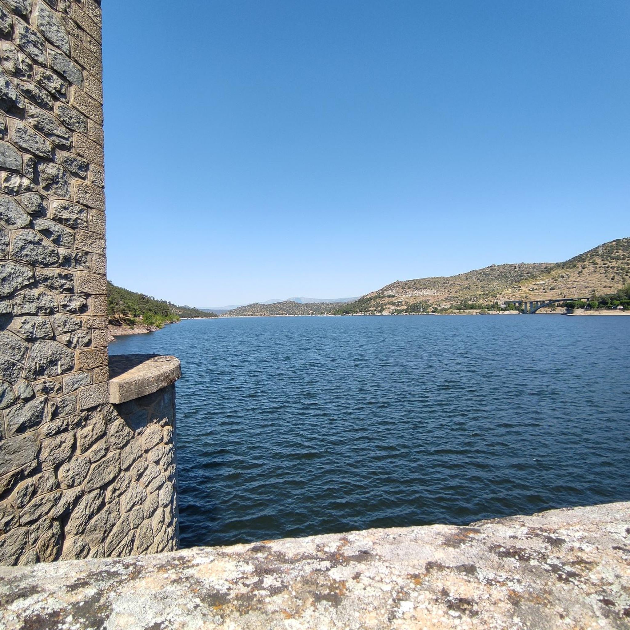

커뮤니티 팁

로스 토로스 데 기산도(Los Toros de Guisando)는 기원전 4세기에서 2세기 사이에 화강암으로 조각된 베톤족의 동물 조각품 모음입니다. 아마도 황소나 베라코스를 나타내며 가축 보호 및 영토 경계 의식과 관련이 있었습니다.
0
0

Beautiful road alongside the reservoir, very quiet. It has no paved exit.
0
0

The cycle trip continues along the lane of the Jacobean route until it connects with the Cebreros highway. The route continues along the side of the road, passing through the popular port of Arrebatacapas and another descent to Cebreros, a mountain town with a wine-growing tradition that would be a good place to finish the second stage when organized as a three-day trip. The Camino de Levante descends from the port along a mountain path that is quite technical and difficult by bicycle, suitable for trail experts and everyone can choose. The path begins next to the port sign and ends where the road enters the urban complex. The track goes down the road, crosses the town and continues the descent along the old Camino Real de Toledo, used by the funeral procession of Isabel la Católica when they carried her remains from Medina del Campo to Granada. At the Cebreros exit there are remains of the old medieval road and on the Alberche River there are the monumental bridges of Valsordo and Santa Yusta, used since Roman times, although they have undergone several reconstructions throughout history. The climb coincides with the last arrows of the Camino de Levante and deviates through the Puente Nuevo urbanization towards San Martín de Valdeiglesias, following the markings of the GR-10 long-distance path, with several hard ramps on the Camino de la Aliseda.
0
0
Stage 2. Ávila/Madrid 140 km. 2,500 m positive. On the way back to Madrid we followed the route of the Camino de Santiago de Levante to the Alberche River with some variations to maintain cyclability and an acceptable average. The yellow arrows on the Jacobean route point towards Santiago de Compostela and at some intersections it is not easy to see them in the opposite direction. The track is essential to follow these “author” routes. The route leaves Ávila along the plain of the Chico River to Tornadizos de Ávila and continues along the cattle trails from the sources of the Tornadizos River to some spectacular pastoral meadows in the hills of El Cabezuelo. The final stretch of the climb follows a path that has good cyclability with good grinding technique and expertise on mountain trails. The path passes a gate with yellow arrows and goes down to the port of Boquerón, between the Cuerda de los Polvisos and the Malagón mountain range, one of the entrances to the great Herradón de Pinares grave. The descent along the Camino de Santiago is an uncomfortable and complicated trial with the bags due to the pavement and the vegetation and to maintain the pace we go down the road gliding over a deceptive landscape, we pass through El Herradón and continue to San Bartolomé de Pinares. The climb through the cobblestone streets of the town is tough and the exit through the forks of the Camino de Levante ends with an infernal wall, until the slope ends on a hill adorned with a milestone of the Jacobean route that has indications of the distances to different places. in the world, from Ávila and Madrid to Beijing or New Zealand.
0
0

The arrangement of the sculptures is interesting: they are side by side, forming a line in a north-south direction and all of them facing west, to the hill of Cerro de Guisando, from which they receive their name. The Tórtolas stream, which is located behind it, marks the natural border between the communities of Castilla y León and Madrid.
13
0

It is a place where you can admire stone carvings that are more than 2,000 years old that were recovered and taken there so that they can be contemplated by visitors who wish to do so. You have to pay a small entrance fee of €2 to ensure the conservation and maintenance of the sculptures, but it is definitely worth it. These are 4 bulls carved in stone from the 3rd century BC. next to an old inn or inn called "Juradera" in which the pact was signed between Enrique IV and his sister Isabel.
21
0

The Guisando Bulls are an outstanding example of Vetona sculpture, a pre-Roman art, found in the municipality of El Tiemblo, in the province of Ávila. These are four large granite statues that represent bulls. These sculptures date from the 6th or 3rd century BC. and they are considered one of the most outstanding examples of Veton sculpture, associated with Celtic culture. Although their exact meaning is unclear, it is believed that the Guisando Bulls could have a symbolic or religious purpose related to fertility and the protection of livestock. There has also been speculation about its possible connection with ritual ceremonies.
12
0

Robledo de Chavela is a crossroads between the high mountains of Guadarrama and the western mountains of Madrid. It is an ideal place for a stop along the way and to get supplies.
0
1
엠발스 드 엘 부르기요 주변에서 가장 인기 있는 명소


더 살펴보기
다른 지역의 최고의 로드 사이클링 경로를 살펴보세요.
