산 바르톨로메 데 피나레스 최고의 라이딩 경로
3.6
(21)
1,631
자전거 타는 사람
59
라이딩
산 바르톨로메 데 피나레스의 로드 사이클링 경로를 찾으시나요? 그렇다면 산 바르톨로메 데 피나레스 로드 라이딩 컬렉션 중에서 가장 멋진 라이딩 장소를 아래에서 살펴보세요.
마지막 업데이트: 10월 17, 2026
46
자전거 타는 사람
82.8km
04:28
1,690m
1,690m
어려운 도로 자전거 타기. 우수한 체력 필요. 지면 대부분이 잘 포장되어 있고 라이딩하기 쉬움.
5.0
(2)
48
자전거 타는 사람
58.0km
03:03
990m
990m
어려운 도로 자전거 타기. 우수한 체력 필요. 지면 대부분이 잘 포장되어 있고 라이딩하기 쉬움.

42
자전거 타는 사람
70.5km
03:23
980m
980m
어려운 도로 자전거 타기. 우수한 체력 필요. 지면 대부분이 잘 포장되어 있고 라이딩하기 쉬움.
31
자전거 타는 사람
54.9km
02:49
980m
980m
어려운 도로 자전거 타기. 우수한 체력 필요. 지면 대부분이 잘 포장되어 있고 라이딩하기 쉬움.
17
자전거 타는 사람
57.6km
02:52
930m
940m
어려운 도로 자전거 타기. 우수한 체력 필요. 지면 대부분이 잘 포장되어 있고 라이딩하기 쉬움.
더 다양한 경로와 다른 탐험가들의 추천을 살펴보세요.
이미 komoot 계정이 있나요?
투어 추천은 다른 사람들이 komoot에서 완료한 수천 개의 활동을 바탕으로 구성되어 있습니다.
오늘 무료 계정으로 시작하세요
다음 모험이 기다리고 있어요.
산 바르톨로메 데 피나레스 주변 인기 장소
커뮤니티 팁

The Church of San Miguel Arcángel in Tornadizos de Ávila is a church of great historical and cultural significance. Built of ashlar and masonry, it is liturgical in nature. The Brotherhood of the Holy True Cross, an institution of great importance in local religious life, was founded in this parish more than four centuries ago.
1
0
The Alcázar Gate is one of the most impressive entrances to the Ávila wall. Located to the east of the walled area, it is distinguished by its two large towers, each over 20 meters high, connected by a semicircular arch. This gate was one of the first to be built, along with the San Vicente Gate, and retains its Romanesque style.
5
0
The Walls of Ávila are an impressive medieval fortification that surrounds the old town of Ávila, in Castile and León. These walls, built in the 11th century, are one of the best-preserved walled enclosures in Spain and were declared a UNESCO World Heritage Site in 1985.
11
0
This bridge was built to facilitate crossing the Adaja River and connect the Roman city of Ávila with the opposite bank. Although only the hidden abutments on the edges of the original Roman bridge remain, the bridge visible today dates back to the 12th century.
13
0

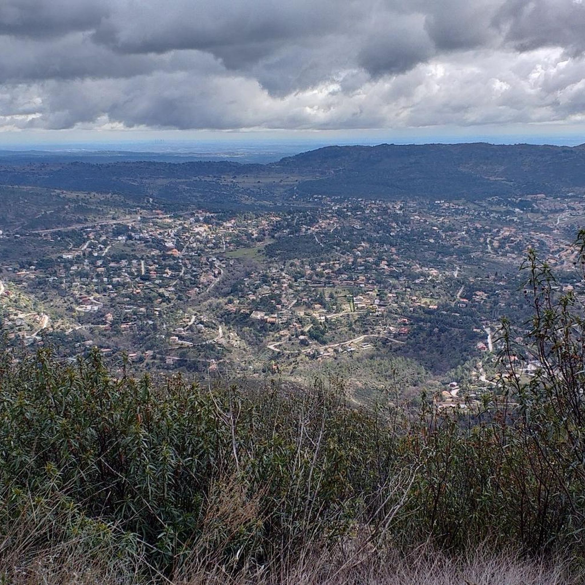
The truth is that it is a wonderful viewpoint of Ávila.
1
0
Perhaps the most beautiful gate of all those in the wall.
2
1

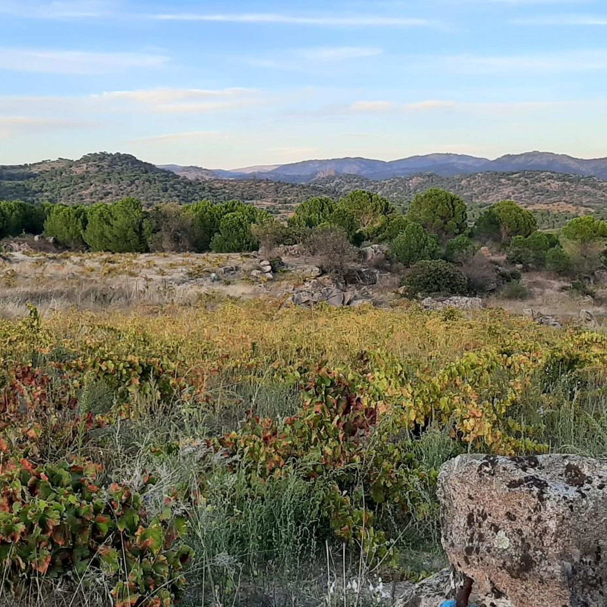
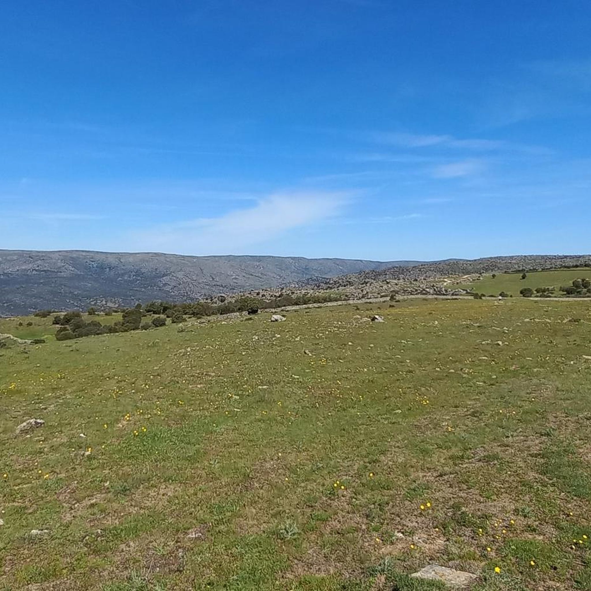
Stage 2. Ávila/Madrid 140 km. 2,500 m positive. On the way back to Madrid we followed the route of the Camino de Santiago de Levante to the Alberche River with some variations to maintain cyclability and an acceptable average. The yellow arrows on the Jacobean route point towards Santiago de Compostela and at some intersections it is not easy to see them in the opposite direction. The track is essential to follow these “author” routes. The route leaves Ávila along the plain of the Chico River to Tornadizos de Ávila and continues along the cattle trails from the sources of the Tornadizos River to some spectacular pastoral meadows in the hills of El Cabezuelo. The final stretch of the climb follows a path that has good cyclability with good grinding technique and expertise on mountain trails. The path passes a gate with yellow arrows and goes down to the port of Boquerón, between the Cuerda de los Polvisos and the Malagón mountain range, one of the entrances to the great Herradón de Pinares grave. The descent along the Camino de Santiago is an uncomfortable and complicated trial with the bags due to the pavement and the vegetation and to maintain the pace we go down the road gliding over a deceptive landscape, we pass through El Herradón and continue to San Bartolomé de Pinares. The climb through the cobblestone streets of the town is tough and the exit through the forks of the Camino de Levante ends with an infernal wall, until the slope ends on a hill adorned with a milestone of the Jacobean route that has indications of the distances to different places. in the world, from Ávila and Madrid to Beijing or New Zealand.
0
0
산 바르톨로메 데 피나레스 주변에서 가장 인기 있는 명소


더 살펴보기
다른 지역의 최고의 로드 사이클링 경로를 살펴보세요.
