자코피네 호수 최고의 사이클링 경로
4.6
(38)
439
자전거 타는 사람
17
라이딩
투어링 사이클링 코스는 지아코피아네 호수 주변에 있으며 아펜니노 산맥 내 해발 약 1,000미터 고도에 위치해 있습니다. 이 지역은 전나무, 낙엽송, 너도밤나무 숲으로 특징지어지는 인공 호수 시스템을 갖추고 있습니다. 지형에는 호수를 둘러싸는 마차 도로가 있어 대부분 평탄한 코스를 제공하며, 더 넓은 지역에는 상당한 고도 변화가 있는 더 도전적인 트레일이 있습니다. 야생마가 주변 리구리아 언덕을 자유롭게 돌아다닙니다.
지아코피아네 호수 주변 최고의 투어링 사이클링 코스
- 가장 인기 있는 투어링 사이클링 코스는 파르코 레지오날레 델라베토에서 출발하는 파소 델 키오도 – 몬테 페나 숲 루프…
마지막 업데이트: 8월 23, 2026
31
자전거 타는 사람
51.1km
05:08
1,680m
1,680m
어려운 자전거 타기. 우수한 체력 필요. 대부분 포장된 지면. 실력과 관계없이 누구나 갈 수 있음.
8
자전거 타는 사람
67.2km
06:27
2,190m
2,200m
어려운 자전거 타기. 우수한 체력 필요. 대부분 포장된 지면. 실력과 관계없이 누구나 갈 수 있음.

무료 회원 가입
8
자전거 타는 사람
63.2km
05:52
2,000m
2,000m
어려운 자전거 타기. 우수한 체력 필요. 대부분 포장된 지면. 실력과 관계없이 누구나 갈 수 있음.
3.8
(5)
54
자전거 타는 사람
38.8km
02:31
440m
440m
보통 자전거 타기. 좋은 체력 필요. 대부분 포장된 지면. 실력과 관계없이 누구나 갈 수 있음.
5.0
(3)
12
자전거 타는 사람
34.3km
03:27
1,290m
1,290m
어려운 자전거 타기. 우수한 체력 필요. 대부분 포장된 지면. 실력과 관계없이 누구나 갈 수 있음.
더 다양한 경로와 다른 탐험가들의 추천을 살펴보세요.
무료 회원 가입
이미 komoot 계정이 있나요?
투어 추천은 다른 사람들이 komoot에서 완료한 수천 개의 활동을 바탕으로 구성되어 있습니다.
오늘 무료 계정으로 시작하세요
다음 모험이 기다리고 있어요.
로그인 또는 가입하기
자코피네 호수 주변 인기 장소
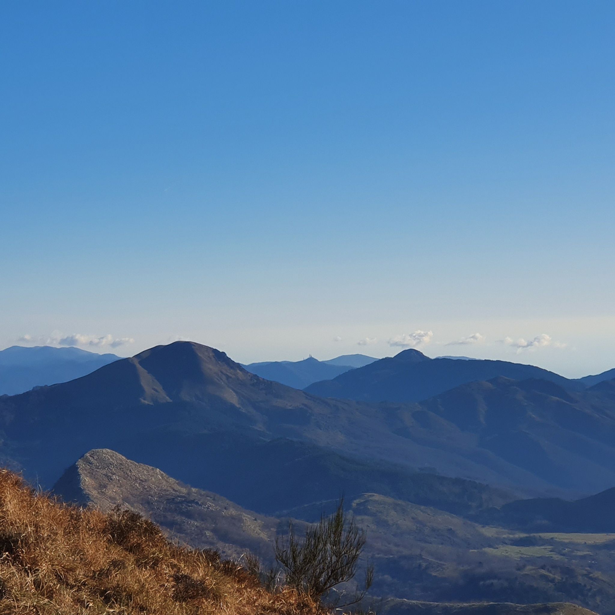
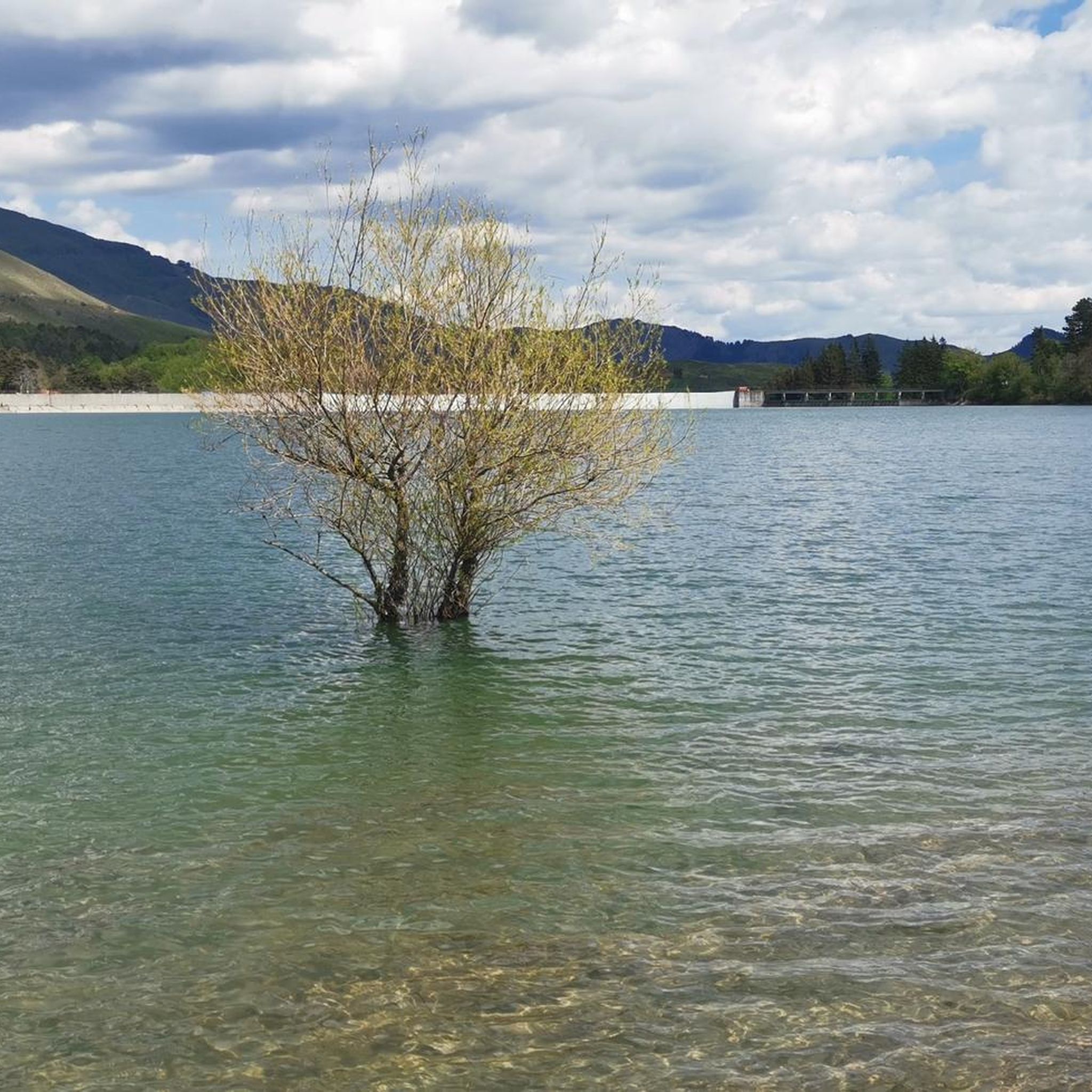
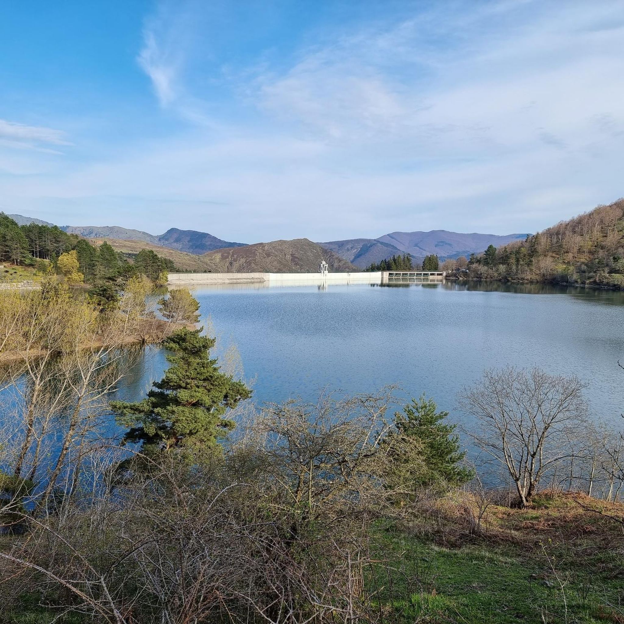
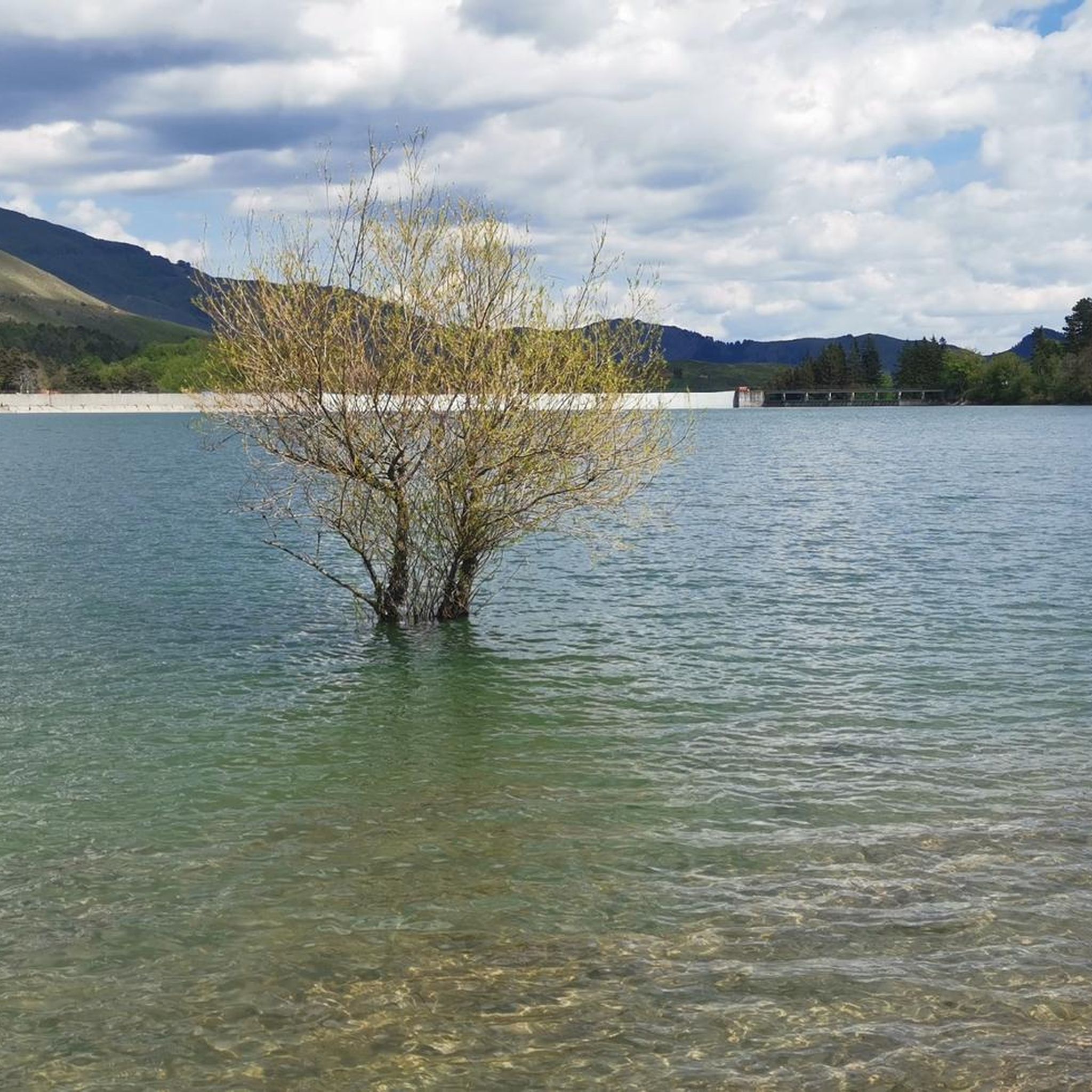
커뮤니티 팁

산길을 따라 표지판이 잘 되어 있습니다.
0
0
1.400m 고도에 위치한 아름다운 하이킹 시설로, 너도밤나무에 둘러싸여 있으며 파르마 현의 Bedonia 및 Tornolo 지자체, 제노바 대도시권의 Santo Stefano d'Aveto와 접해 있습니다. 시설은 최근에 지어졌고 좋은 상태임에도 불구하고 절대 열리지 않는다는 점이 아쉽습니다.
0
0
Bel valico dell'Appennino Ligure situato a 1.468 metri. Punto strategico che offre varie alternative per iniziare una passeggiata o una lunga escursione.
0
0
해발 1,452m에 위치한 아펜니노 리구레 고개는 자동차로 접근할 수 있으며, 다양한 하이킹 트레일이 갈라지는 교차로입니다.
0
0
오래된 막사를 복구하여 탄생한 이곳은 식사와 숙박이 모두 가능한 멋진 휴식처입니다. 위치가 훌륭하여 이 지역을 방문할 때 꼭 들르는 곳이 되었습니다.
0
0

Pria Burgheisa (Pietra Borghese) is a massive outcrop of mantle peridotites, among the best-known and most significant in the area. It lies on the southwestern edge of the Prato Mollo plateau, on the southern slopes of Mount Aiona, at an altitude of 1,465 m. It is a geosite of considerable petrographic, mineralogical, and regional geological interest, allowing us to study the evolution of a portion of the lithospheric mantle subsequently involved in the Apennine orogeny. The outcrop has a highly irregular shape: 30 m long, 10 m wide at its maximum, and 7–8 m high. The rocks are dark in color, ranging from blackish to brownish; the mass is affected by three main fracture systems, more or less orthogonal to each other, which fragment it into numerous square-shaped blocks. The surface of the blocks has a pitted appearance, as the pyroxene crystals, more resistant to erosion than olivine, remain prominent. At the outcrop, mantle foliation is evident, due to the presence of frequent pyroxenite bands. Source: Liguria Geosite Registry.
0
0

In the heart of the village of Prati di Mezzanego, right near the town hall, stands a magnificent centuries-old wisteria, listed in the Ligurian Regional Register of Monumental Trees. The plant has entwined itself around an old metal structure, now completely engulfed in branches, creating a natural display reminiscent of an art installation. The most evocative time to admire it is early spring, when the blossoms offer a truly unique display of colors and scents.
0
0
The Rifugio Casermette del Penna (1,400 m) is located within the Aveto Park, in a beautiful beech forest at the foot of Mount Penna, where the Forestry Corps barracks once stood. Renovated sustainably using local wood, photovoltaic panels, and a biomass boiler, the refuge offers 25 beds in both rooms and dormitories, as well as home-cooked meals prepared using local produce. Today, it is a popular destination for hikers, families, and groups, thanks in part to the large green lawn in front of the building: in summer, it's ideal for relaxing in the sun, picnicking, or letting children play freely. The location is perfect for exploring the trails of Mount Penna, the Lago Penna loop, the Pennino forests, or tackling more technical climbs to the rocky peaks. In winter, it's an ideal base for snowshoeing and cross-country skiing.
0
0


더 살펴보기
다른 지역의 최고의 자전거 경로를 살펴보세요.
