락 뒤 샹봉 최고의 사이클링 경로
4.4
(476)
33,203
자전거 타는 사람
99
라이딩
락 뒤 샹봉에 자전거 라이딩을 할 수 있는 경로는 많은데, 어디서 출발해야 할지 모르시겠다고요? 아름다운 호수를 구경할 수 있도록 가장 멋진 경로를 알려드릴게요. 망설이지 말고, 마음에 드는 락 뒤 샹봉 사이클링 경로를 아래에서 찾아보세요.
마지막 업데이트: 9월 21, 2026
5.0
(1)
24
자전거 타는 사람
32.7km
03:41
1,130m
1,130m
어려운 자전거 타기. 우수한 체력 필요. 대부분 포장된 지면. 실력과 관계없이 누구나 갈 수 있음.
12
자전거 타는 사람
17.9km
01:21
430m
440m
보통 자전거 타기. 좋은 체력 필요. 대부분 포장된 지면. 실력과 관계없이 누구나 갈 수 있음.

4.2
(6)
239
자전거 타는 사람
24.4km
02:00
770m
770m
어려운 자전거 타기. 우수한 체력 필요. 대부분 포장된 지면. 실력과 관계없이 누구나 갈 수 있음.
12
자전거 타는 사람
62.8km
06:13
2,300m
2,300m
어려운 자전거 타기. 우수한 체력 필요. 대부분 포장된 지면. 실력과 관계없이 누구나 갈 수 있음.
57
자전거 타는 사람
18.9km
01:57
500m
500m
어려운 자전거 타기. 우수한 체력 필요. 대부분 포장된 지면. 실력과 관계없이 누구나 갈 수 있음.
더 다양한 경로와 다른 탐험가들의 추천을 살펴보세요.
이미 komoot 계정이 있나요?
투어 추천은 다른 사람들이 komoot에서 완료한 수천 개의 활동을 바탕으로 구성되어 있습니다.
오늘 무료 계정으로 시작하세요
다음 모험이 기다리고 있어요.

커뮤니티 팁


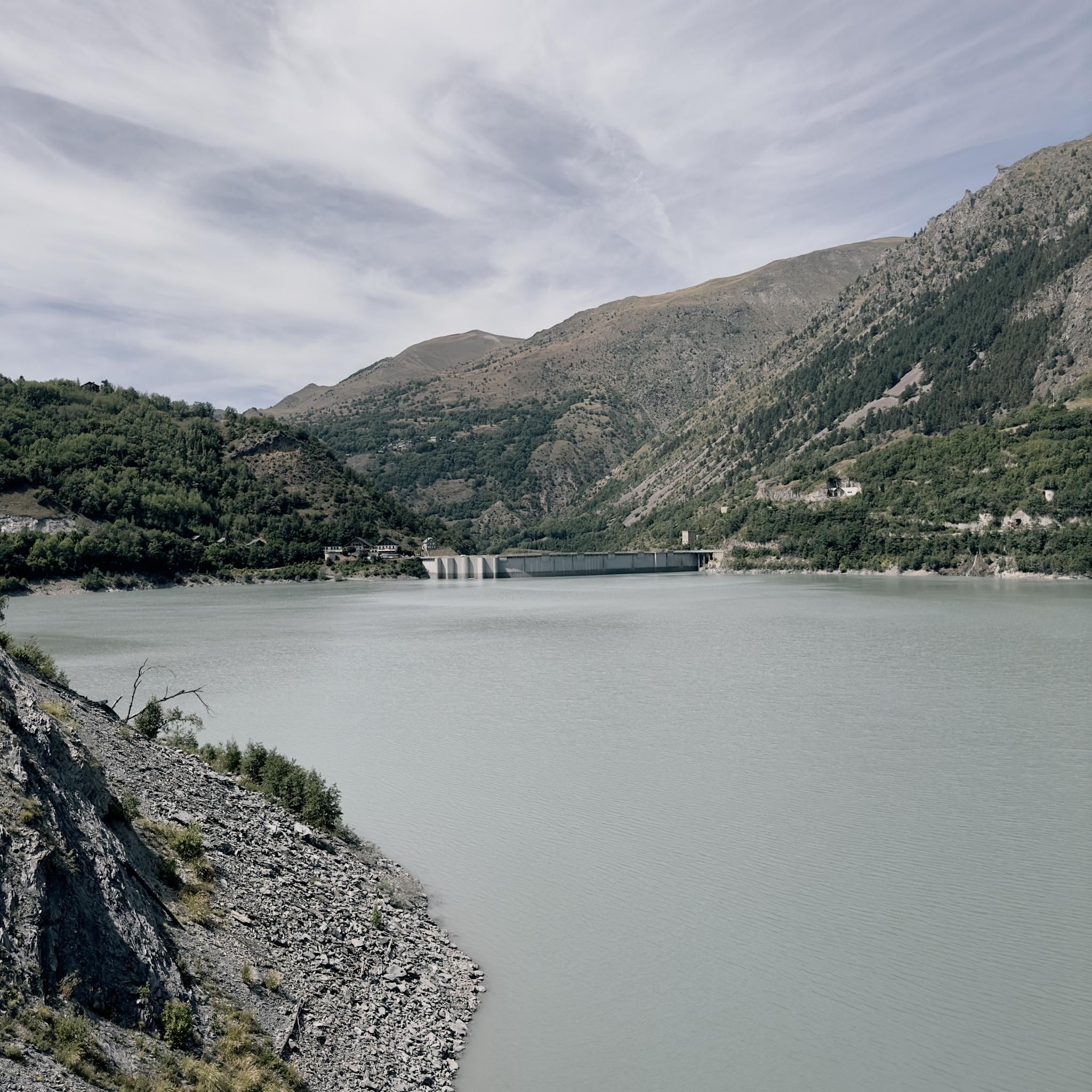
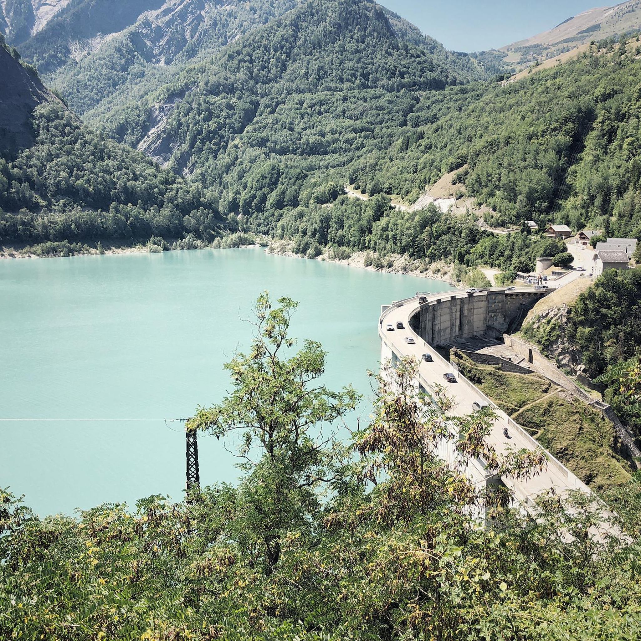
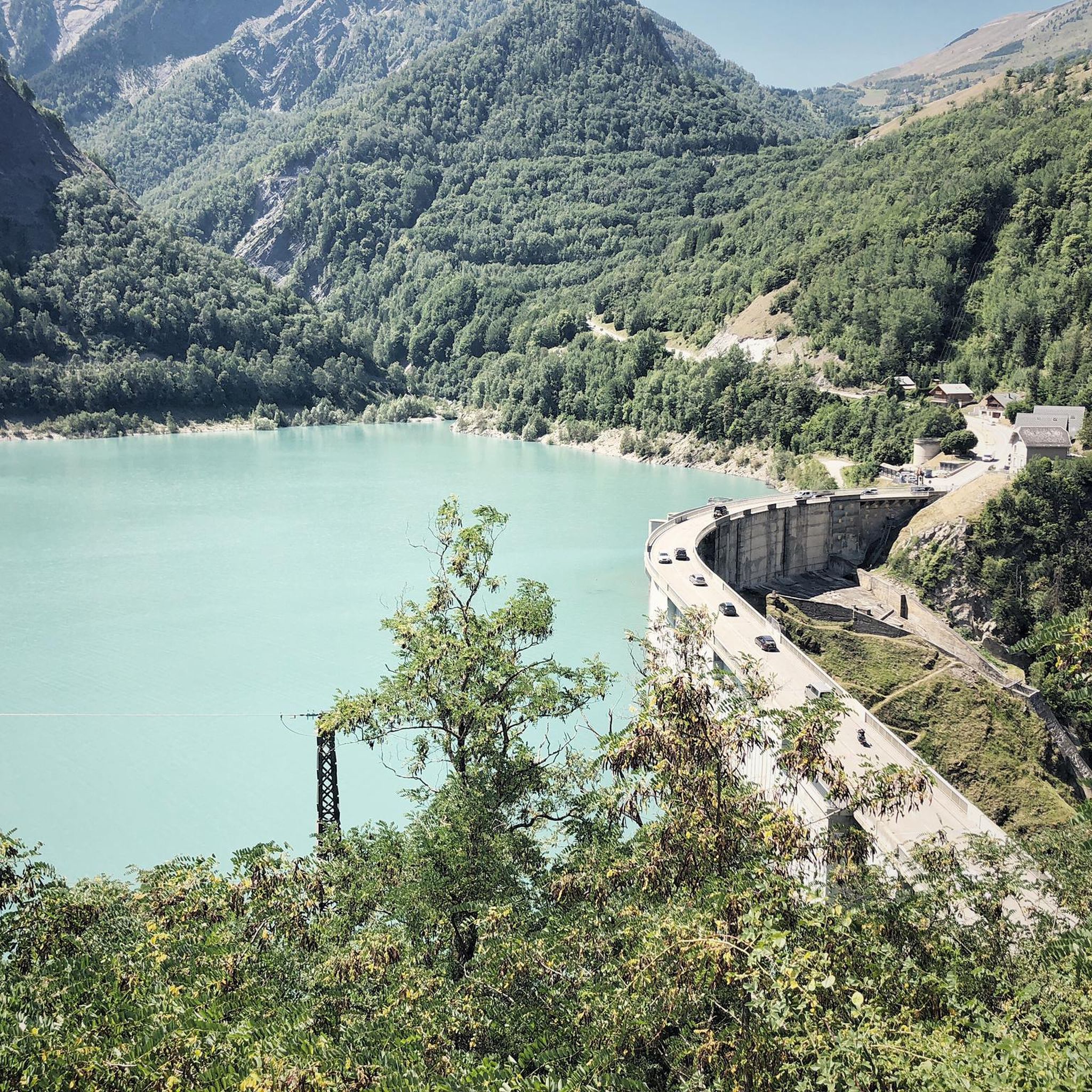
The village of Mizoen, located in the Isère department of France (Auvergne-Rhône-Alpes region), is a typical mountain settlement at the entrance to the Écrins National Park, near Le Bourg-d'Oisans. Its history is deeply linked to mountain agriculture, livestock farming, and, more recently, tourism development thanks to its proximity to the renowned Les Deux Alpes ski resort, offering a peaceful and panoramic setting overlooking Lake Chambon.
4
0
The most beautiful hill to climb in these areas.
12
0

There are no crowds here, just you, the mountain, the wind, and the sensation of pedaling on one of the remote peaks of the French Alps. The summit, at almost 2,000 meters, offers a 360° panorama that erases fatigue and ignites the cycling spirit.
5
0

An easy climb from Besse. Initially paved, it quickly transitions to gravel. No extremely steep gradients, but a long climb with fantastic views!
0
0

A beautiful route, though challenging, with the last 4 kilometers reaching between 8.5 and 10%. The descent is on a rough road with many potholes. After 5 kilometers, it becomes easier again. A truly stunning route with little to no traffic and beautiful scenery.
0
0
락 뒤 샹봉 주변에서 가장 인기 있는 명소


더 살펴보기
다른 지역의 최고의 자전거 경로를 살펴보세요.
