체르니아스키에 호수 최고의 라이딩 경로
4.7
(38)
1,247
자전거 타는 사람
42
라이딩
체르니아스키에 호수 최고의 로드 사이클링 경로를 찾으시나요? 그렇다면 아름다운 Cieszyn 호수 주변의 라이딩 컬렉션을 아래에서 살펴본 후, 체르니아스키에 호수의 여러 가지 모습을 직접 만나보세요.
마지막 업데이트: 10월 27, 2026
4.7
(3)
52
자전거 타는 사람
20.0km
01:03
360m
360m
보통 도로 자전거 타기. 좋은 체력 필요. 투어 중 라이딩하기 어려운 비포장 구간이 있을 수 있음.
12
자전거 타는 사람
21.9km
01:18
440m
440m
보통 도로 자전거 타기. 좋은 체력 필요. 투어 중 라이딩하기 어려운 비포장 구간이 있을 수 있음.

11
자전거 타는 사람
20.1km
00:54
150m
150m
초급용 로드 라이딩. 지면 대부분이 잘 포장되어 있고 라이딩하기 쉬움.
11
자전거 타는 사람
19.6km
00:51
180m
180m
초급용 로드 라이딩. 지면 대부분이 잘 포장되어 있고 라이딩하기 쉬움.
6
자전거 타는 사람
46.3km
02:37
910m
910m
어려운 도로 자전거 타기. 우수한 체력 필요. 투어 중 라이딩하기 어려운 비포장 구간이 있을 수 있음.
더 다양한 경로와 다른 탐험가들의 추천을 살펴보세요.
이미 komoot 계정이 있나요?
투어 추천은 다른 사람들이 komoot에서 완료한 수천 개의 활동을 바탕으로 구성되어 있습니다.
오늘 무료 계정으로 시작하세요
다음 모험이 기다리고 있어요.
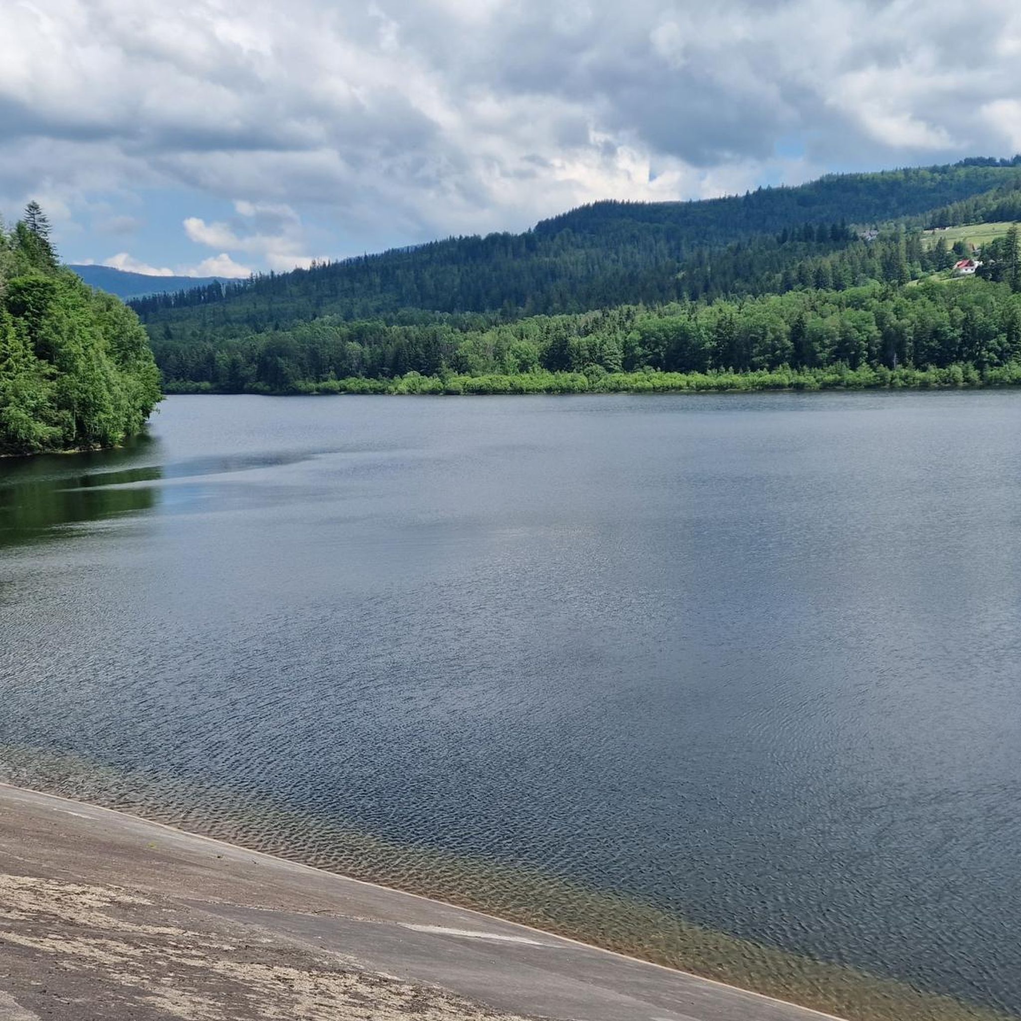
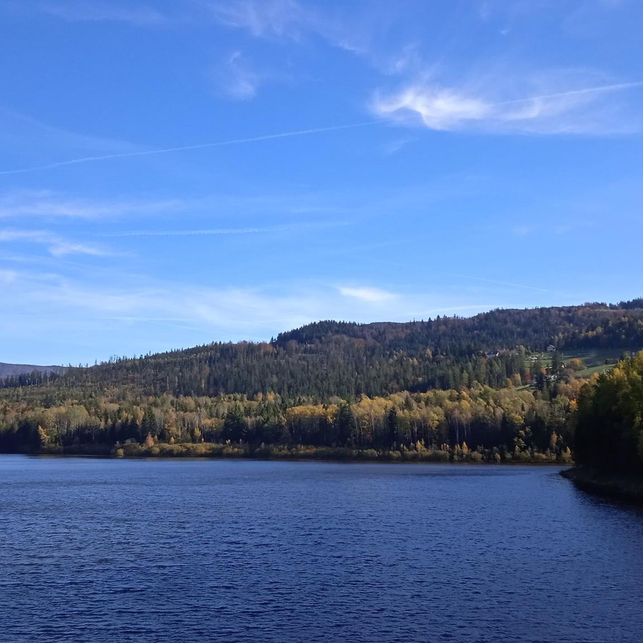
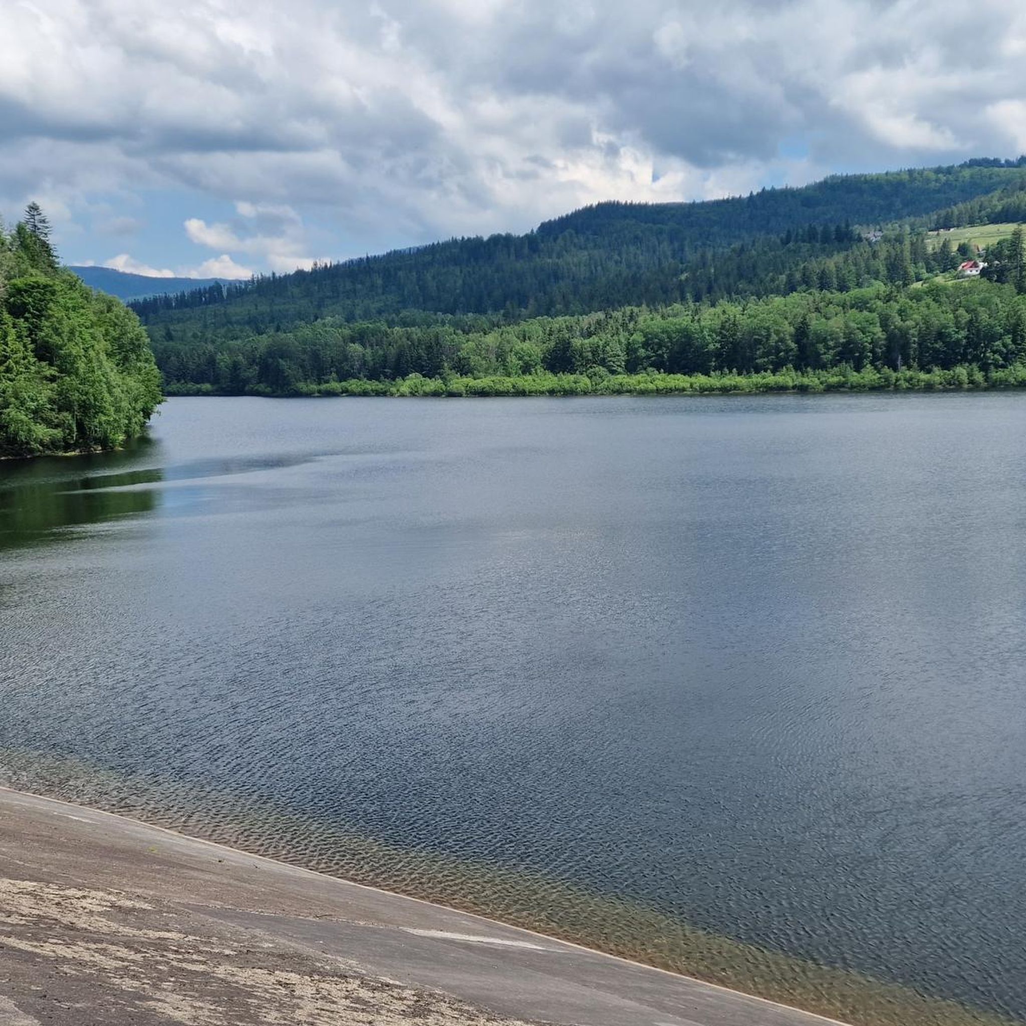
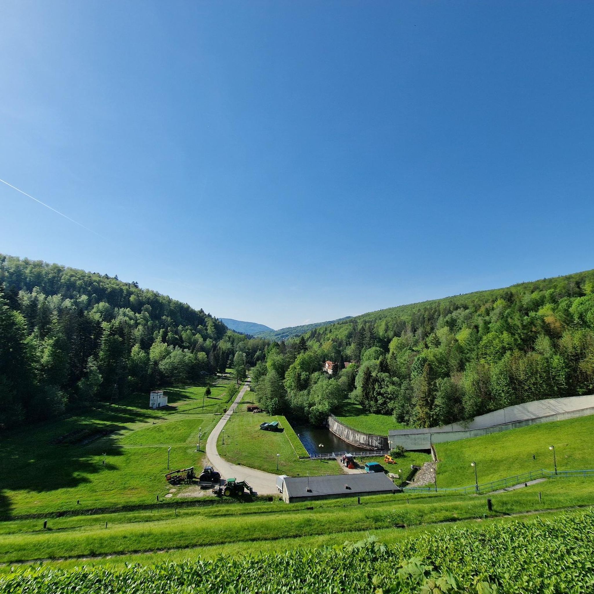
커뮤니티 팁

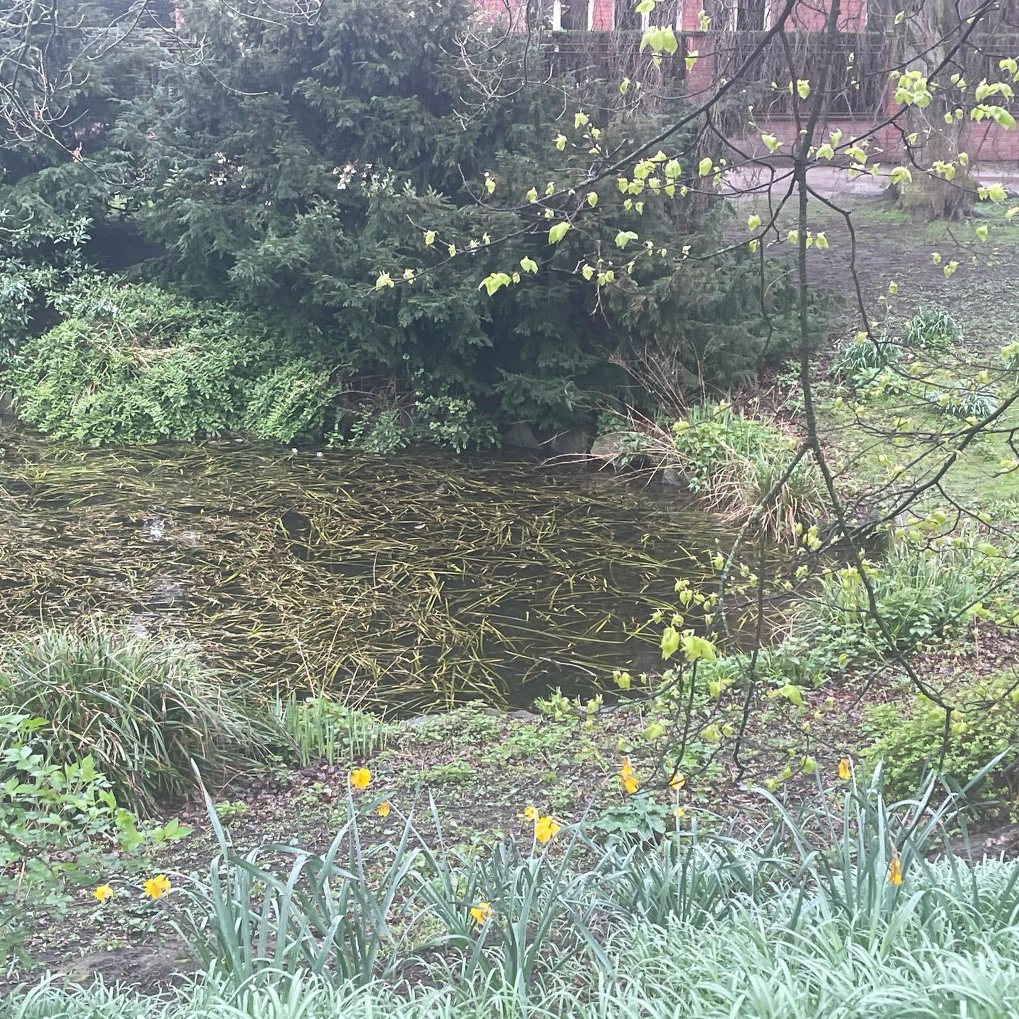
비스와 노바 오사다 소규모 댐 참고로 – 이 장소는 체르니아ńskie 호수를 형성하는 큰 흙댐에서 강 하류로 약 4.5km 떨어진 곳에 위치합니다. 폭포: 1950년대 Wisełka 강에 건설된 높이 8미터의 인공 수로입니다. 물고기 통로: 주요 폭포 바로 아래에 보이는 특징적인 콘크리트 계단과 보행로입니다. 물고기(주로 송어)가 강을 거슬러 올라갈 수 있도록 합니다. 왼쪽 건물: 이곳은 관광객들이 전통적인 베스키디 요리를 맛볼 수 있는 역사적인 목조-석조 여관 "Drewutnia"(원래 1833년부터)입니다.
0
0

An 8m high artificial waterfall built in the 1950s on the Vistula River
0
0

the driveway from the Zubrzyca side slowly rises upwards, where in the final phase there is a steeper driveway. It's not terrible
0
0


"All the train stations of the old Austro-Hungarian Empire resembled one another, the small stations in the small provincial towns. Yellow and tiny, they resembled lazy cats, sleeping in the snow in winter and in the sun in summer, protected, as it were, by the platform's traditional crystal glass roof and watched over by the black double-headed eagle on a yellow background." Joseph Roth, the Capuchin Crypt.
1
0

Border station on the Cadca-Zywiec railway line, built in 1884. As of May 2025: Due to the renewal of the tracks on the Polish side, the station is currently only accessible by train from the Slovak side. Rail replacement services operate on the Polish side, albeit less frequently than the trains.
3
0

The Szarcula Pass (759 m above sea level) in the Silesian Beskids is a shallow saddle located on the main watershed ridge of Poland, separating the Vistula and Olza river basins. It is located between the Kubalonka peak and the Szarcula hill and has historical significance related to old-time hut farming. An asphalt road runs through the pass, connecting the Kubalonka Pass with the Czarna Wisełka valley, making it an attractive section for road cyclists. The road is scenic and well suited for a quiet, mountain route. The place is also the border between the towns of Wisła and Istebna.
0
0
The ascent to the Kubalonka Pass from Wisła is 7.5 km long and has a 310 m elevation gain. The average gradient is 4.2%, with one more difficult section before the serpentines reaching 10-12%. The asphalt is perfect, and there is an inn at the pass (761 m).
1
0


더 살펴보기
다른 지역의 최고의 로드 사이클링 경로를 살펴보세요.
