알리야 델 인판타도 최고의 워킹 & 하이킹 경로
13
등산객
13
하이킹
정확한 경로를 찾는 것이 때로는 어렵지만 알리야 델 인판타도에서 하이킹을 하면 다양한 경치를 마음껏 감상할 수 있답니다. 알리야 델 인판타도에서 가장 멋진 하이킹과 워킹 중에서 마음에 드는 활동을 시작해보세요.
마지막 업데이트: 8월 26, 2026
5
등산객
7.83km
02:13
170m
170m
Hike the moderate 4.9-mile El Balcón de Basilia y Cima del Coto circular trail near Morales de Rey, offering panoramic views.
13.4km
03:24
30m
30m
Hike a moderate 8.3-mile (13.4 km) circular route from Morales de Rey, exploring the banks of the Eria and Órbigo rivers.

무료 회원 가입
13.7km
03:43
200m
200m
보통 하이킹. 좋은 체력 필요. 실력과 관계없이 누구나 쉽게 갈 수 있는 길.
8.46km
02:29
230m
230m
보통 하이킹. 좋은 체력 필요. 대부분 갈 수 있는 길. 미끄러지지 않게 조심해야 함.
12.3km
03:14
110m
100m
Hike a moderate 7.6-mile circular trail from San Esteban de Nogales, following the Río Ería and passing historical ruins.
더 다양한 경로와 다른 탐험가들의 추천을 살펴보세요.
무료 회원 가입
이미 komoot 계정이 있나요?
투어 추천은 다른 사람들이 komoot에서 완료한 수천 개의 활동을 바탕으로 구성되어 있습니다.
오늘 무료 계정으로 시작하세요
다음 모험이 기다리고 있어요.
로그인 또는 가입하기
알리야 델 인판타도 주변 인기 장소

커뮤니티 팁

The traditional wineries dug into the slopes of El Teso and Peña Redonda are located in Morales de Rey, in the region of Benavente and Los Valles, in the province of Zamora. These popular buildings were and continue to be places of leisure and gathering for local residents, in addition to being used for winemaking and storage. Morales de Rey has the largest number of wineries and the best-preserved ones in the region. These wineries are a testament to the rich winemaking tradition of the area and offer a unique experience for visitors interested in the history and culture of wine.
5
0
The Balcón de Basilia is a viewpoint located in Morales de Rey, in the region of Benavente and Los Valles, in the province of Zamora. This spot is known for offering one of the best panoramic views of Morales de Rey and its surroundings. Traditionally, the town's young people used to gather here every April 25th to celebrate the Tortillero, a local festival. The Balcón de Basilia is a popular destination for hiking enthusiasts, with several trails that allow you to enjoy the landscape and nature of the area. One of the recommended trails is the one that runs from Morales de Rey to the summit of Coto, passing through the Balcón de Basilia.
2
0

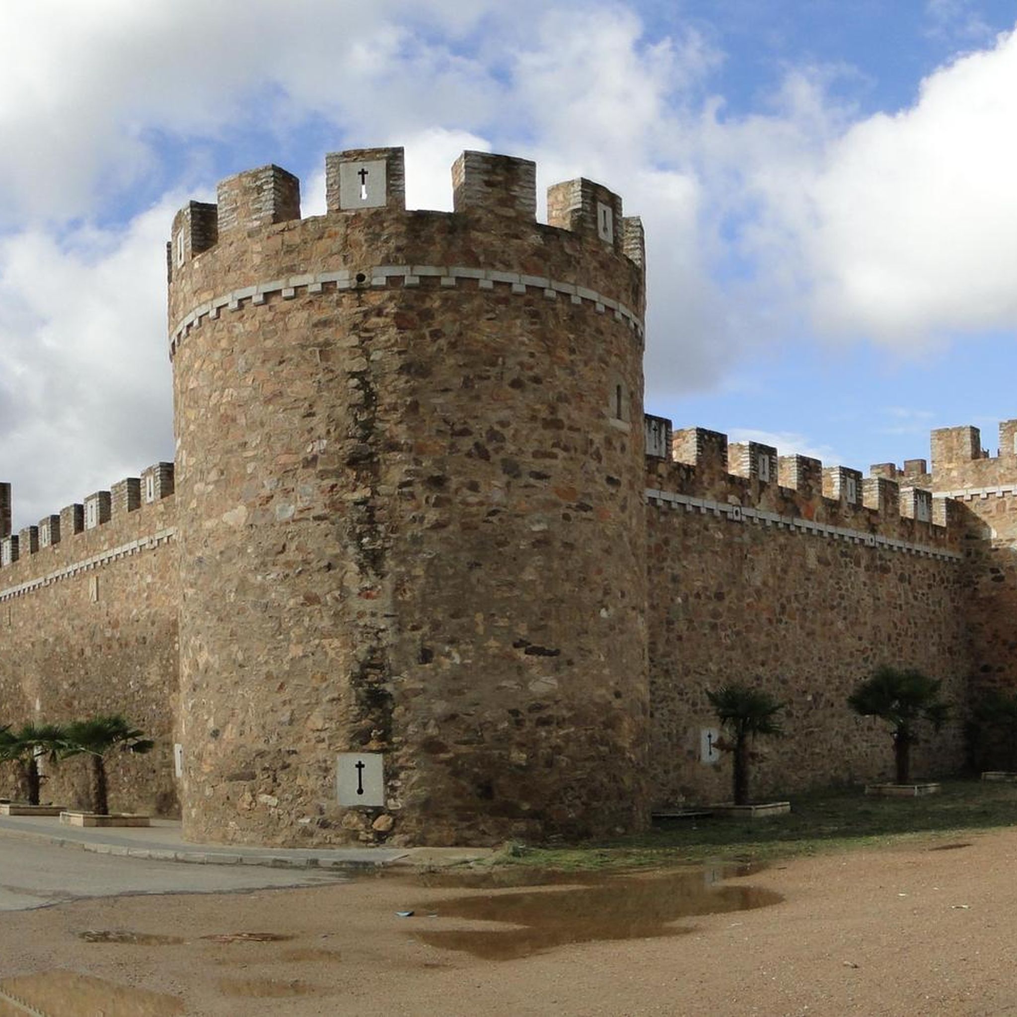
On December 20, 1164, the widow of the Noble Vela Gutiérrez, Doña Sancha Ponce, transferred to the Cistercian Order of Santa María de Moreruela all the possessions and belongings of the territory of Nogales in hereditary right so that they could build another monastery that would be called Santa María from Nogales. From this moment and until the monks abandoned the monastery, in the mid-19th century, the Eria Region was governed according to the guidelines of the Order. This settlement established the model of repopulation and new management at all levels; social, cultural, agricultural and economic. At the same time it marked the appearance of the Villa de Nogales, which was initially made up of the servants and servants of the Monks. Without a sumptuous construction, Santa María de Nogales is located according to the criteria of the Cistercian order: a valley of fertile lands, abundance of water, and impressive solitude. For more than seven centuries it stood out for being the cradle of great men, an emporium of letters and science, where royal advisors and professors for the University of Alcalá emerged. Currently, only the ruins and remains of its greatness remain: scattered walls, the belfry of the Church and the main entrance arch with its heraldic shield. However, the surrounding area, fertile orchard, abundant vegetation, fruit trees and the waters of the Eria River, invite you to relax, contemplate and enjoy nature.
1
0

A prehistoric rock formation on the outskirts of the town of Arrabalde in the foothills of the Sierra de las Labradas.
2
0
Arrabalde is a small town located between the Eria River and the Sierra de Carpurias that rises above it at 1000 meters above sea level. Head to the main square to admire the local church.
1
0
At an altitude of 1000 meters above sea level, there is a rocky outcrop, used to house animals and smugglers. Spectacular views of Arrabalde below.
1
1
A beautiful hiking route along the crest of the Sierra de Carpurias. Panoramic views of the surrounding valleys. The road reaches a small wild rock settlement, called the robbers' fort, at an altitude of 1,000 meters above sea level.
2
0
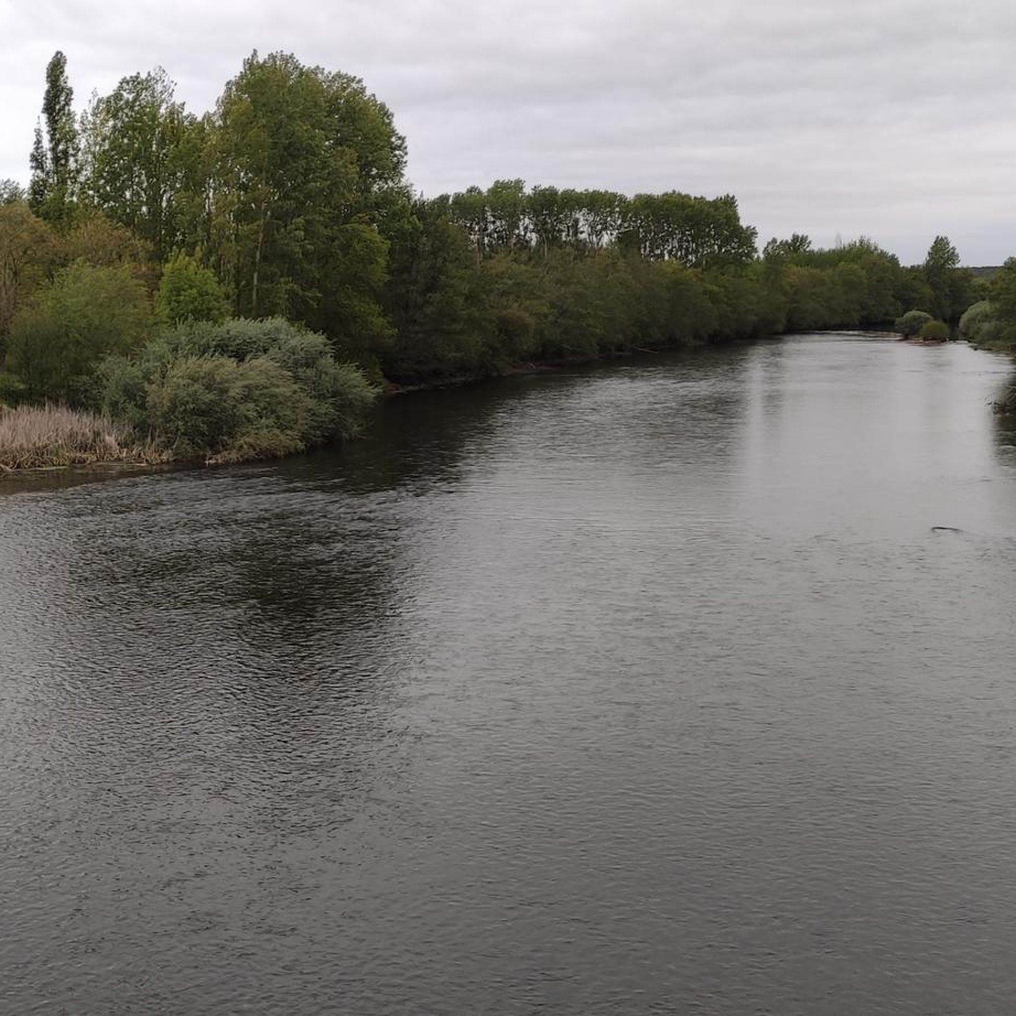
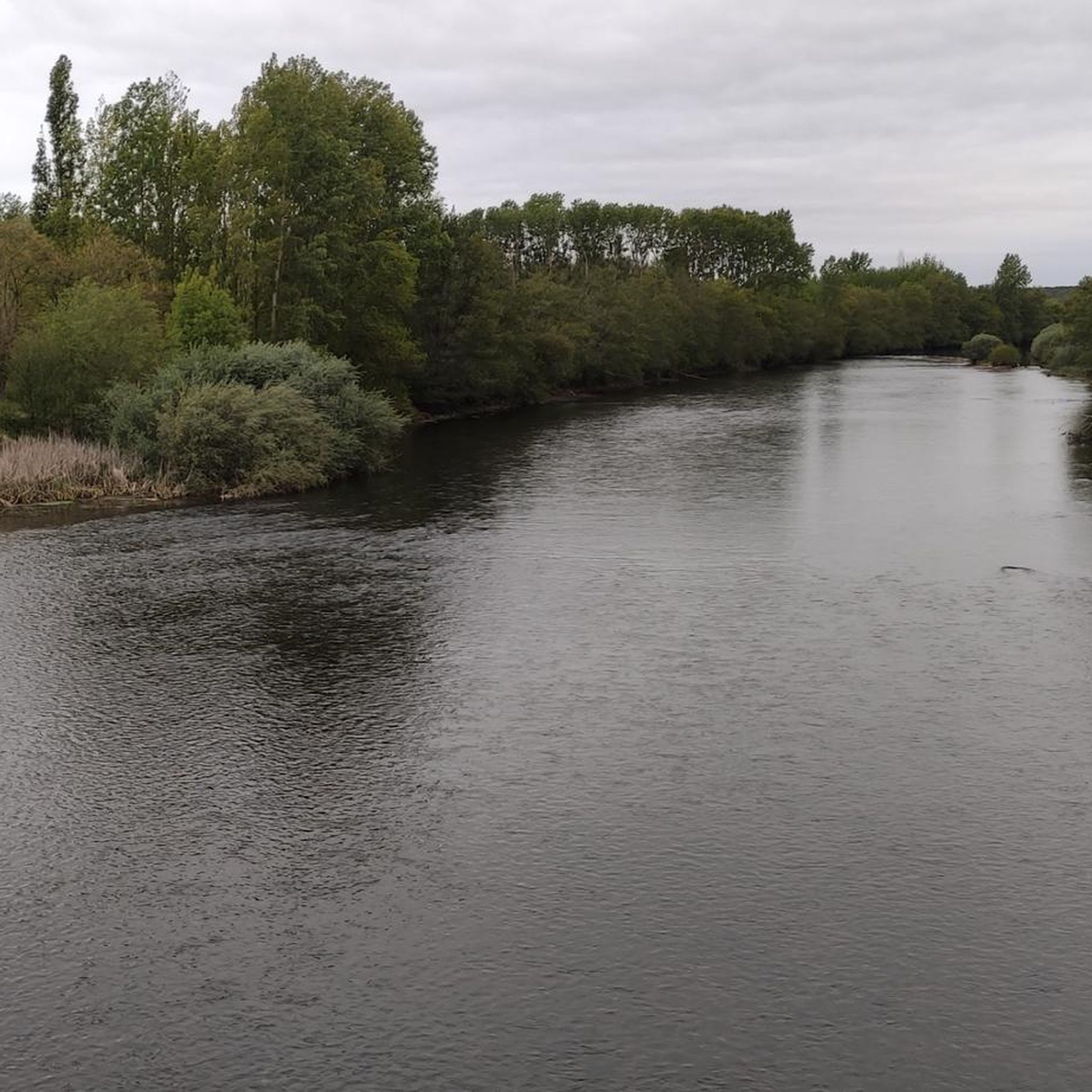
A nature walk around the Eria river. The river runs through the provinces of León and Zamora. It begins in the Teleno mountains of the León region. The Salix trees lining the river banks whistling in the wind.
2
0
알리야 델 인판타도 주변에서 가장 인기 있는 명소


더 살펴보기
다른 지역의 최고의 하이킹를 살펴보세요.
