라 셀레라 데 테르 최고의 러닝 경로
4.4
(5)
1,167
달리기 하는 사람
12
러닝
라 셀레라 데 테르에서 하이킹하며 셀바 구석 부분까지 살펴볼까요? 라 셀레라 데 테르에 있는 모든 하이킹 및 워킹 경로 컬렉션 중 가장 멋진 하이킹 경로를 엄선하여 소개해드릴게요. 다른 하이커가 공유한 실제 팁과 사진을 살펴보고 후기를 읽으며 마음에 드는 라 셀레라 데 테르 워킹 경로를 찾아보세요.
마지막 업데이트: 8월 22, 2026
32
달리기 하는 사람
16.5km
02:35
950m
950m
어려운 조깅. 우수한 체력 필요. 대부분 포장된 지면. 실력과 관계없이 누구나 갈 수 있음.
18
달리기 하는 사람
13.3km
01:25
160m
160m
보통 조깅. 좋은 체력 필요. 대부분 포장된 지면. 실력과 관계없이 누구나 갈 수 있음.

무료 회원 가입
21
달리기 하는 사람
13.9km
01:51
650m
650m
어려운 조깅. 우수한 체력 필요. 대부분 포장된 지면. 실력과 관계없이 누구나 갈 수 있음.
13
달리기 하는 사람
6.91km
00:44
40m
30m
보통 조깅. 좋은 체력 필요. 대부분 포장된 지면. 실력과 관계없이 누구나 갈 수 있음.
3
달리기 하는 사람
7.09km
00:45
50m
50m
보통 조깅. 좋은 체력 필요. 대부분 포장된 지면. 실력과 관계없이 누구나 갈 수 있음.
더 다양한 경로와 다른 탐험가들의 추천을 살펴보세요.
무료 회원 가입
이미 komoot 계정이 있나요?
투어 추천은 다른 사람들이 komoot에서 완료한 수천 개의 활동을 바탕으로 구성되어 있습니다.
오늘 무료 계정으로 시작하세요
다음 모험이 기다리고 있어요.
로그인 또는 가입하기
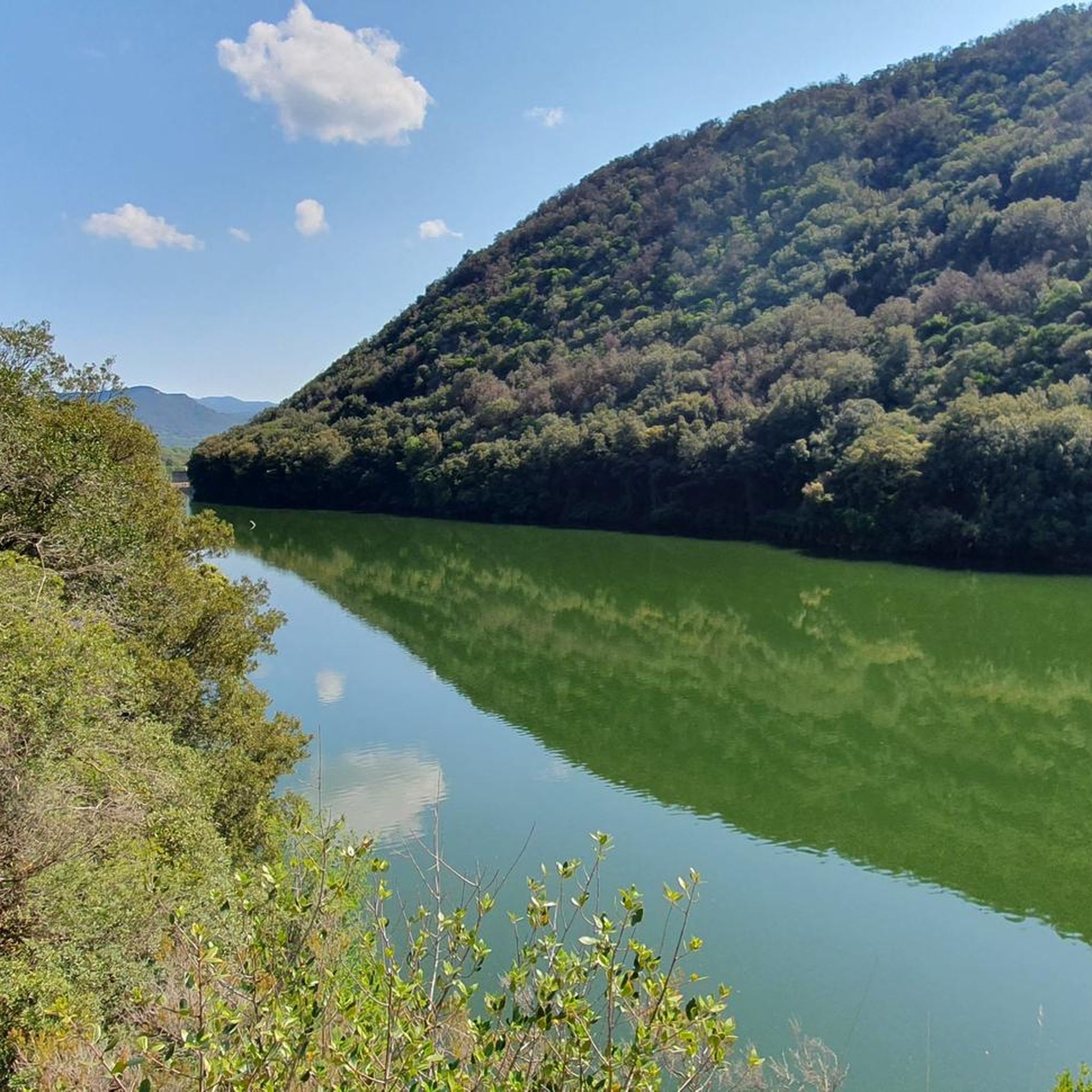
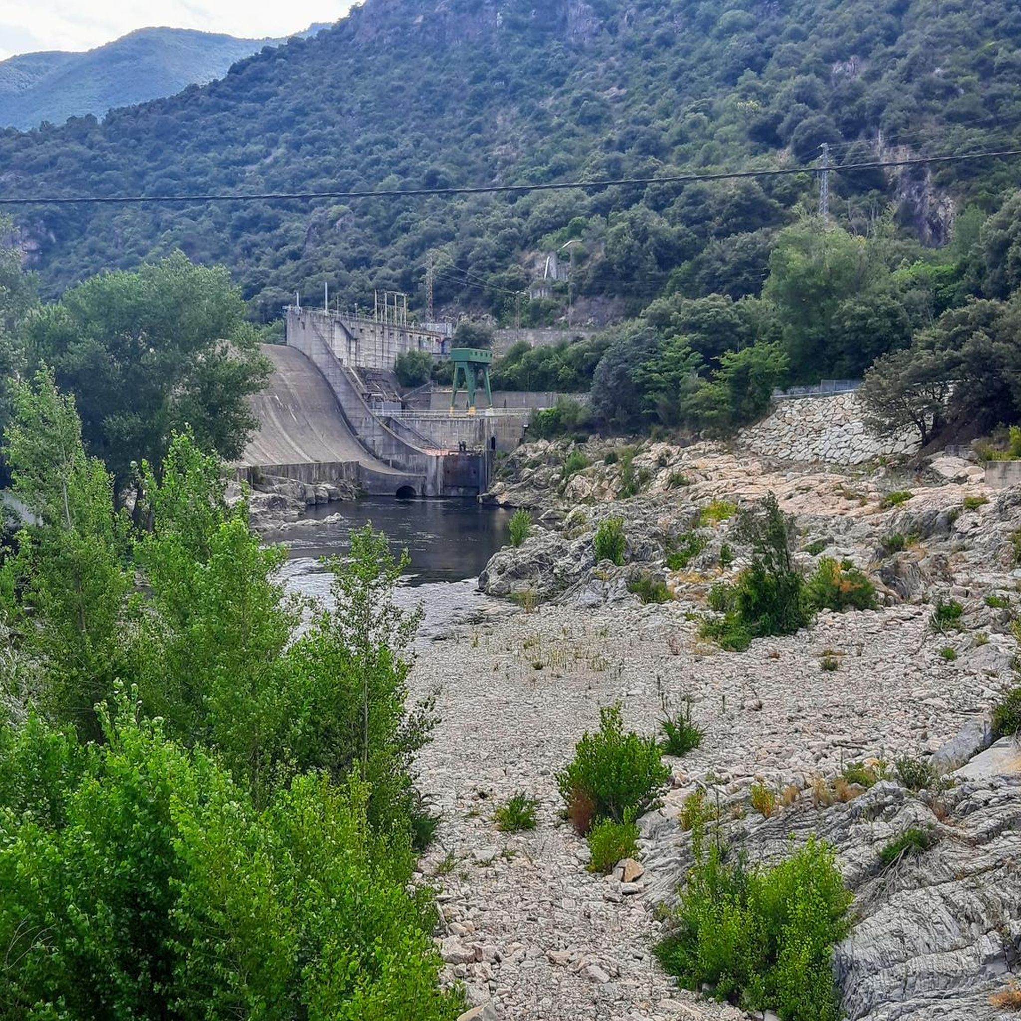
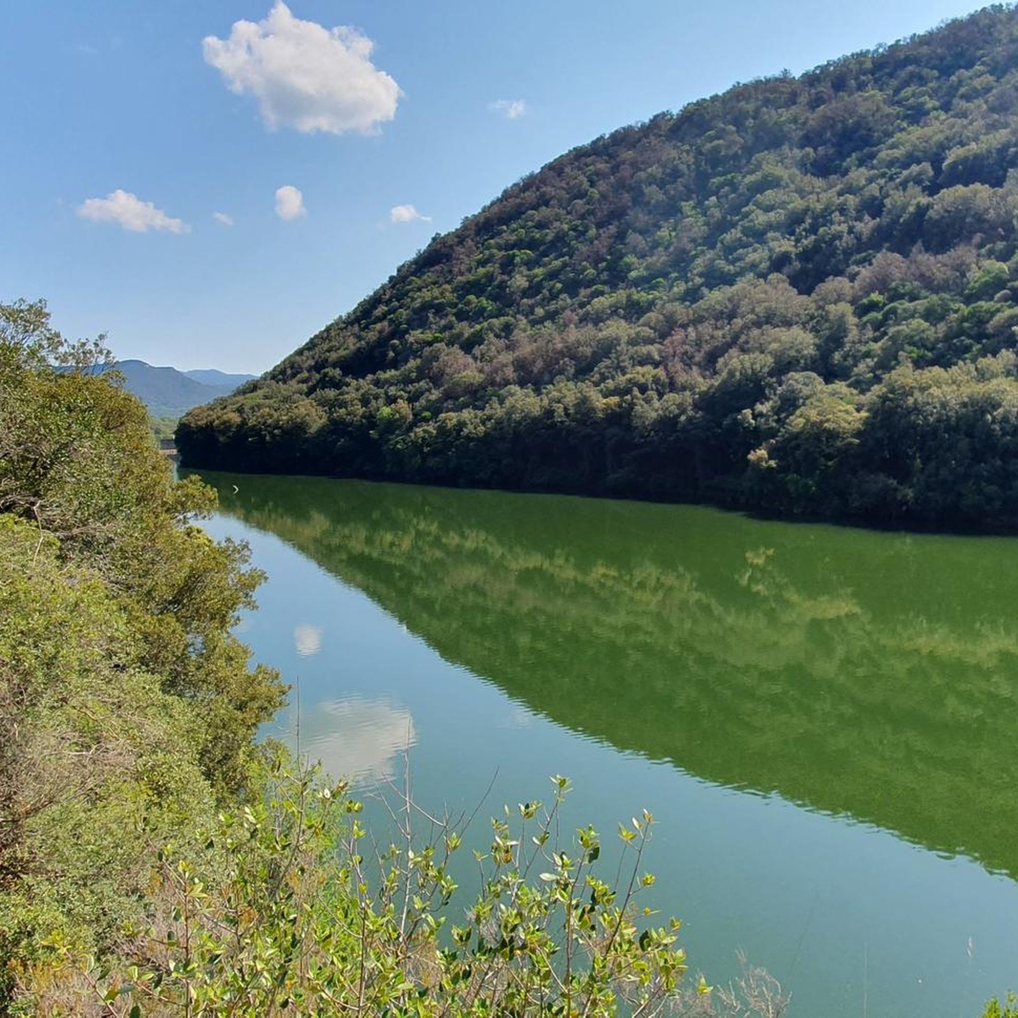

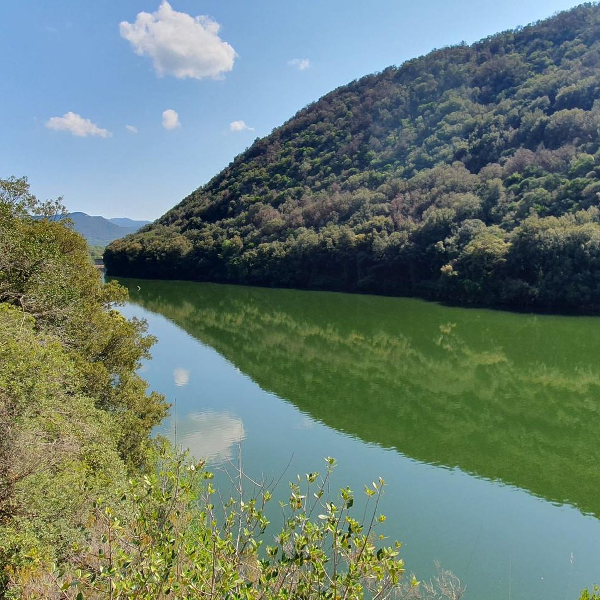
커뮤니티 팁

Beautiful little square in a traditional village
0
0

Large town that is crossed by the Ter River itself and that is located at the northern gate of Les Guilleries. It is located at the foot of the mountains of Santa Bárbara and Puig de Frou.
0
0

Amer is located halfway between Olot and Girona and is a town with more than a thousand years of history, where you can still breathe its medieval past. Amer has been the birthplace of several presidents of the Generalitat; four were abbots of the monastery between the 15th and 17th centuries, and two were born in Amer. The Amer Valley has great forest wealth, and the forests of chestnut, hazel, oak and pine stand out. Bordering the eastern part of the town is the Brugent River, formerly called the Amera River, which merges with the Ter River. The Carrilet route is one of the access entrances to the town. Its old railway station is today a mandatory stop and in the past it was one of the most important, since the train workshops and warehouses were also located here.
0
0

The pretty little market place of Amer - here you will find various cafes and bars for a little breather.
1
0

The most representative summit of Cellera del Ter that rises to 839 meters from where you can see the Pica de Canigó and the Medes Islands.
4
0

Spectacular views of the Plana de la Selva and the Guilleries, a must-see.
0
0
843 meters. It is the mountain that governs the valley of the Cellera de Ter. From the summit we will contemplate splendid views towards the valley, the plain of the Forest and the mountains of the Guilleries. The large wooden cross was first installed in 1966 by the Scout Group of the same name.
0
0

Steep climb to arrive up to Puig d'Afrou but worth the effort, you have a 360º view of all mountains near by
0
0
라 셀레라 데 테르 주변에서 가장 인기 있는 명소


더 살펴보기
다른 지역의 최고의 러닝 트레일 & 경로를 살펴보세요.
