올모스 데 오제다 최고의 워킹 & 하이킹 경로
4.3
(117)
856
등산객
35
하이킹
정확한 경로를 찾는 것이 때로는 어렵지만 올모스 데 오제다에서 하이킹을 하면 다양한 경치를 마음껏 감상할 수 있답니다. 올모스 데 오제다에서 가장 멋진 하이킹과 워킹 중에서 마음에 드는 활동을 시작해보세요.
마지막 업데이트: 8월 25, 2026
4.7
(37)
306
등산객
9.14km
03:00
390m
390m
Hike the moderate Tejeda de Tosande Trail in Montaña Palentina, exploring ancient yew and beech forests with panoramic mountain views.
4.5
(46)
242
등산객
13.3km
03:53
350m
350m
보통 하이킹. 좋은 체력 필요. 대부분 갈 수 있는 길. 미끄러지지 않게 조심해야 함.

무료 회원 가입
4.5
(2)
4
등산객
10.9km
02:59
180m
180m
Hike the moderate 6.7-mile Fuente la Gallina y Mojón de la Abadesa circular trail from Alar del Rey, exploring the Canal de Castilla's sourc
5.0
(1)
2
등산객
20.4km
05:38
340m
340m
Hike the difficult 12.7-mile Carbón de Cok Route: Stage 2 through Palencia's Romanesque heritage, offering panoramic views and inclines.
4.0
(1)
3
등산객
13.2km
03:44
280m
270m
보통 하이킹. 좋은 체력 필요. 실력과 관계없이 누구나 쉽게 갈 수 있는 길.
더 다양한 경로와 다른 탐험가들의 추천을 살펴보세요.
무료 회원 가입
이미 komoot 계정이 있나요?
투어 추천은 다른 사람들이 komoot에서 완료한 수천 개의 활동을 바탕으로 구성되어 있습니다.
오늘 무료 계정으로 시작하세요
다음 모험이 기다리고 있어요.
로그인 또는 가입하기


커뮤니티 팁


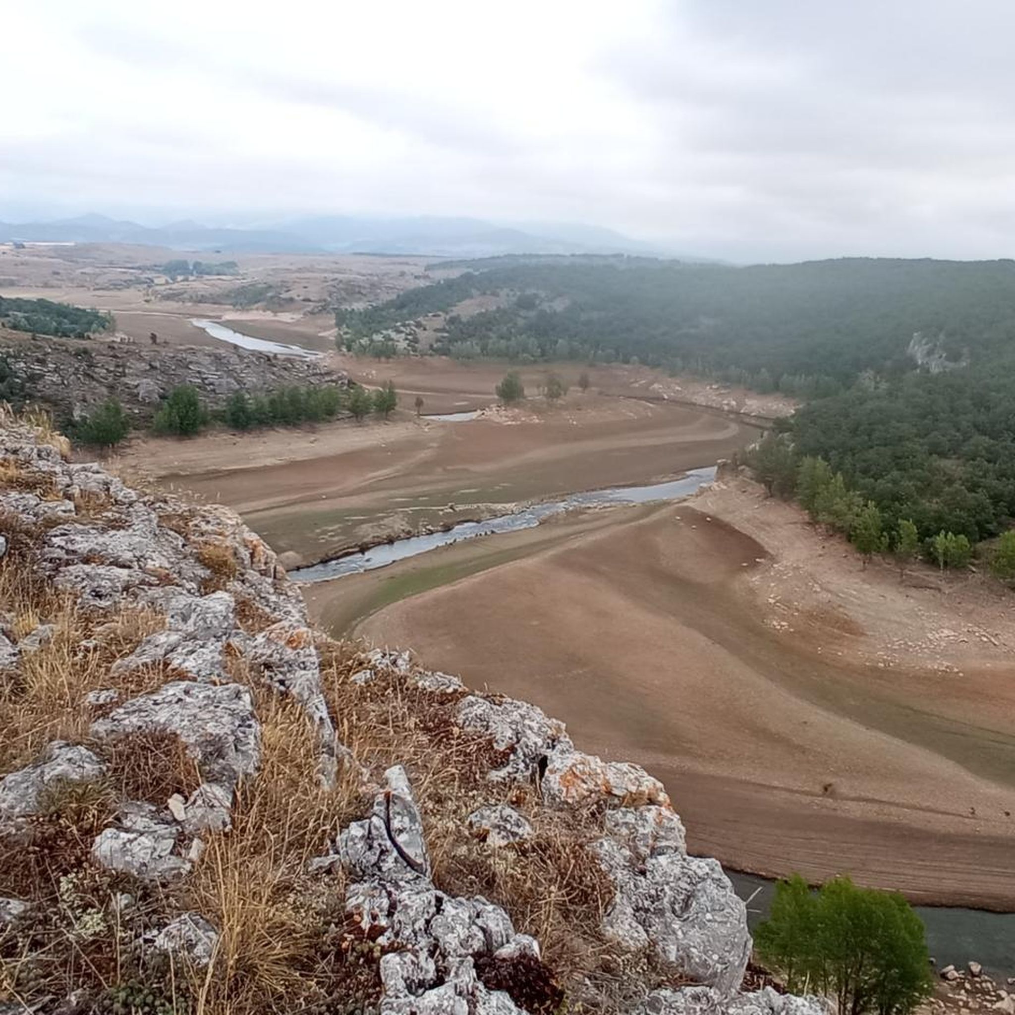
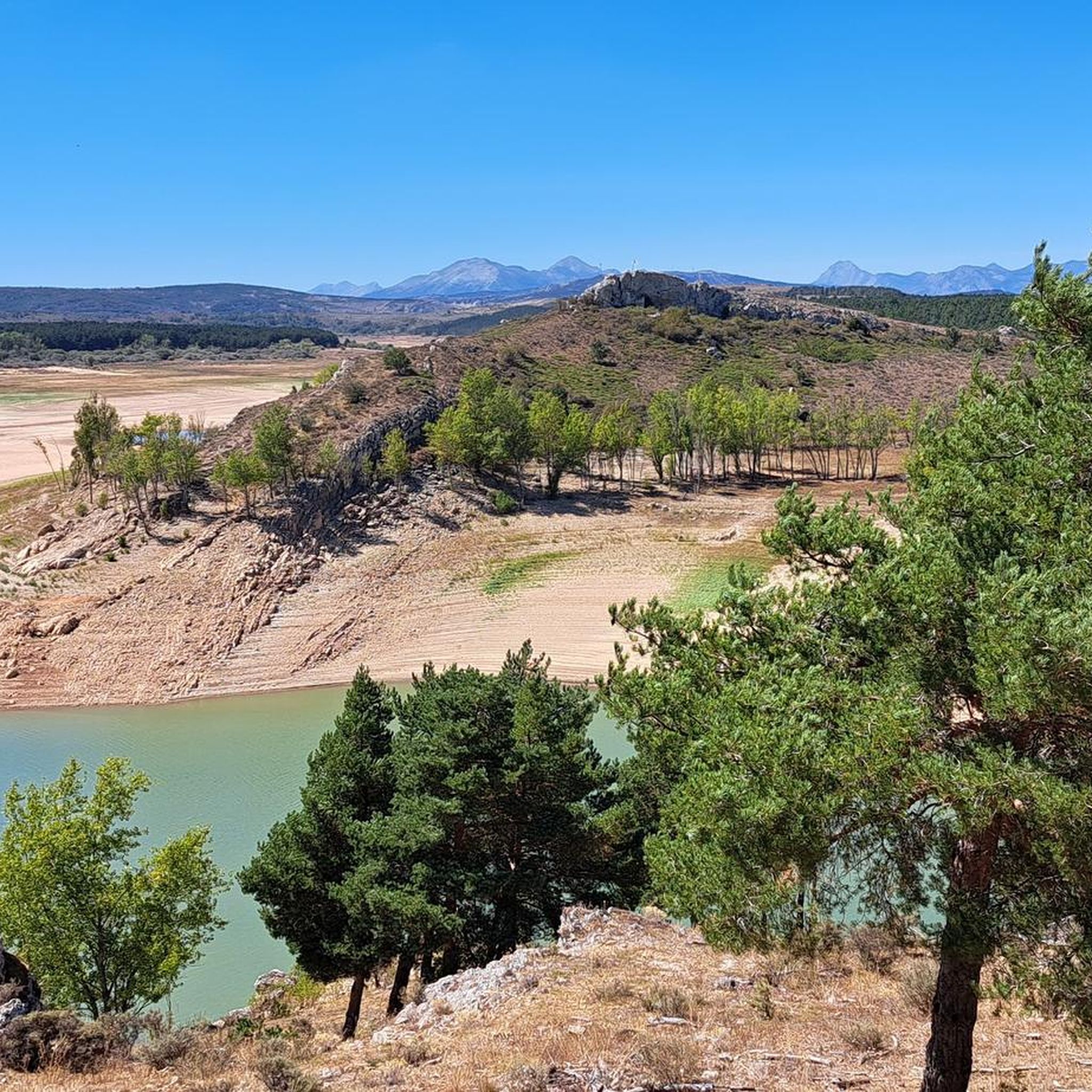
The Bear Trail in Cervera de Pisuerga is a circular hiking route of approximately 11 kilometres. It begins at the San Roque bridge and follows the right bank of the Pisuerga River, passing through the village of Arbejal and reaching the Requejada reservoir.
5
0

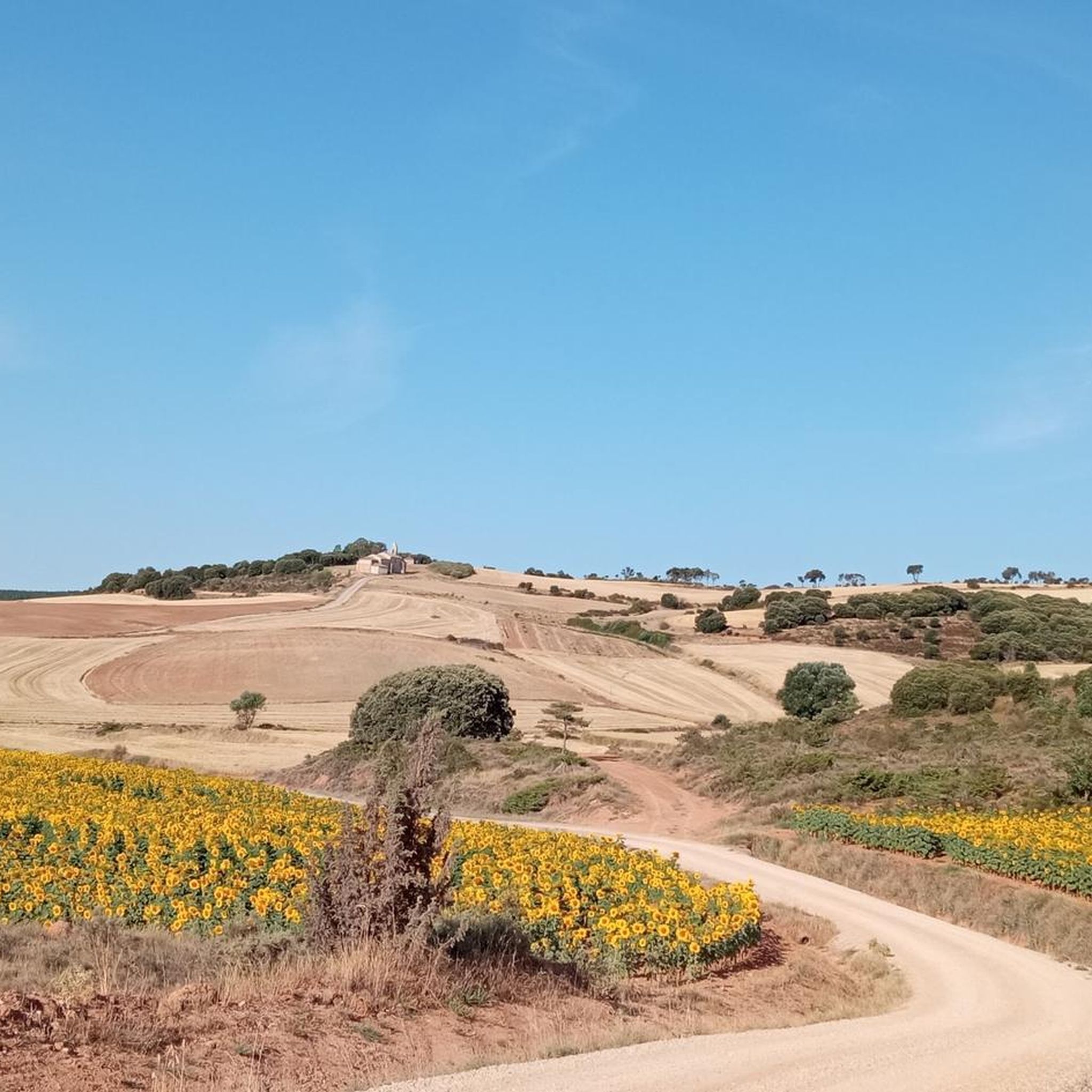
The next town is Vallespinoso de Aguilar. The hermitage of Santa Cecilia, immediately standing out on a castle hill, is dated to the 12th century and was declared a historical-artistic monument in 1951. The portico has well-carved capitals and the location conveys the atmosphere of a fortress sanctuary.
0
0

Church from the 14th century, built on top of the remains of a castle.
2
0
It is a limestone rock 120 cm high, which served for centuries to mark the property and jurisdiction limits of the convent of San Andrés de Arroyo. The place has an information panel.
2
0
Fuente de la Gallina recreational area has benches and tables to eat or have a snack. Beautiful place that invites you to observe, rest, and walk along the path that leads the Pisuerga River. A quiet and charming landscape.
2
0
At this place the Canal de Castilla begins its journey - a masterpiece of Spanish hydraulic engineering from the 18th / 19th century. The canal is 207 km long. Here we can see the commemorative monolith for the 200 years of the North Branch of the canal, installed in 1991.
3
0
올모스 데 오제다 주변에서 가장 인기 있는 명소


더 살펴보기
다른 지역의 최고의 하이킹를 살펴보세요.
