로스 코랄레스 데 부엘나 최고의 워킹 & 하이킹 경로
4.4
(212)
1,395
등산객
36
하이킹
정확한 경로를 찾는 것이 때로는 어렵지만 로스 코랄레스 데 부엘나에서 하이킹을 하면 다양한 경치를 마음껏 감상할 수 있답니다. 로스 코랄레스 데 부엘나에서 가장 멋진 하이킹과 워킹 중에서 마음에 드는 활동을 시작해보세요.
마지막 업데이트: 8월 31, 2026
4.8
(20)
113
등산객
10.7km
03:26
460m
460m
Hike a moderate 6.7-mile loop with 1515 feet of elevation gain, exploring waterfalls, forests, and panoramic views in Cantabria.
4.7
(19)
109
등산객
7.62km
02:28
340m
340m
보통 하이킹. 좋은 체력 필요. 실력과 관계없이 누구나 쉽게 갈 수 있는 길.

무료 회원 가입
4.3
(4)
14
등산객
8.87km
03:00
420m
420m
보통 하이킹. 좋은 체력 필요. 실력과 관계없이 누구나 쉽게 갈 수 있는 길.
11
등산객
5.98km
01:32
20m
20m
초급용 하이킹. 모든 체력 수준에 적합. 실력과 관계없이 누구나 쉽게 갈 수 있는 길.
5.0
(2)
12
등산객
15.8km
05:34
850m
850m
어려운 하이킹. 우수한 체력 필요. 실력과 관계없이 누구나 쉽게 갈 수 있는 길.
더 다양한 경로와 다른 탐험가들의 추천을 살펴보세요.
무료 회원 가입
이미 komoot 계정이 있나요?
투어 추천은 다른 사람들이 komoot에서 완료한 수천 개의 활동을 바탕으로 구성되어 있습니다.
오늘 무료 계정으로 시작하세요
다음 모험이 기다리고 있어요.
로그인 또는 가입하기

커뮤니티 팁

The San Andrés Bridge is in Somahoz (Los Corrales de Buelna) over the Besaya River, which gives access to the San Andrés neighbourhood. It is divided into a narrow lane for vehicles and a pedestrian crossing, and from it we see a railway bridge that we have to go under to enter the neighbourhood. And that railway bridge (or overpass) that we crossed is part of the historic "Ferro-carril de Isabel II" (Isabel II Railway) that began to be built in the mid-19th century with the project of joining the towns of Alar del Rey with Santander and whose section from Bárcena de Pie de Concha to the Cantabrian capital must have been finished in 1858.
0
0
The leguarios are large boundary stones made of local sandstone, placed, in this case, in La Bandera, near the town hall of Los Corrales de Buelna, which marked seven leagues. It was placed in this place on the occasion of the construction of the Camino Real, in 1753, and marked the distance of seven leagues to the city of Santander, the league being the most common unit of length in Castilian lands, equivalent to 5,572 metres, until the implementation of the decimal metric system on 1 July 1880. In this way, the walker knew the distance from the boundary stone to the city of Santander and, given that a person could travel a league in approximately one hour, this leguario with its seven-league inscription reminded the walker that he was seven hours from the city.
0
0
The leguarios are large boundary markers made of local sandstone and placed, in this case, very close to the town hall of Los Corrales de Buelna, almost in front of the Estelas park. It was placed in this place on the occasion of the construction of the Camino Real, in 1753, and marked the distance of seven leagues to the city of Santander, the league being the most common unit of length in Castilian lands, equivalent to 5,572 metres, until the implementation of the decimal metric system on 1 July 1880. In this way, the walker knew the distance from the boundary marker to the city of Santander and, given that a person could travel a league in approximately one hour, this leguario with its seven-league inscription reminded the walker that he was seven hours from the city.
0
0
The church of San Román is located in Somahoz (Corrales de Buelna). It is an emblematic place. This church dates back to the 13th century and is believed to have been built by local craftsmen, using techniques and materials typical of Romanesque architecture. Over the centuries, the church has undergone various modifications and restorations, but has managed to largely preserve its original structure. The Church of Somahoz has witnessed important events throughout the history of Cantabria, including religious ceremonies, weddings, baptisms and funerals. During the Spanish Civil War, the church suffered damage to its structure, but was later restored thanks to the efforts of the local community and the ecclesiastical authorities.
0
0
The Casona de Somahoz, in Los Corrales de Buelna and at the foot of the Besaya River, now restored and converted into a hostel, was built in the first half of the 15th century and houses a good example of civil and religious architecture in the mountain style. Its coat of arms includes the most prestigious lineages of the region such as the Fernández Castillo, the Bustamantes and the Liaño.
0
0

A path that goes into the forest and is shared by two routes: on the left, the LCB-6A that ascends to the peaks of Acebo and Mozagro. On the right, the LCB-6B that remains in the Coo forest through El Castañal.
0
0
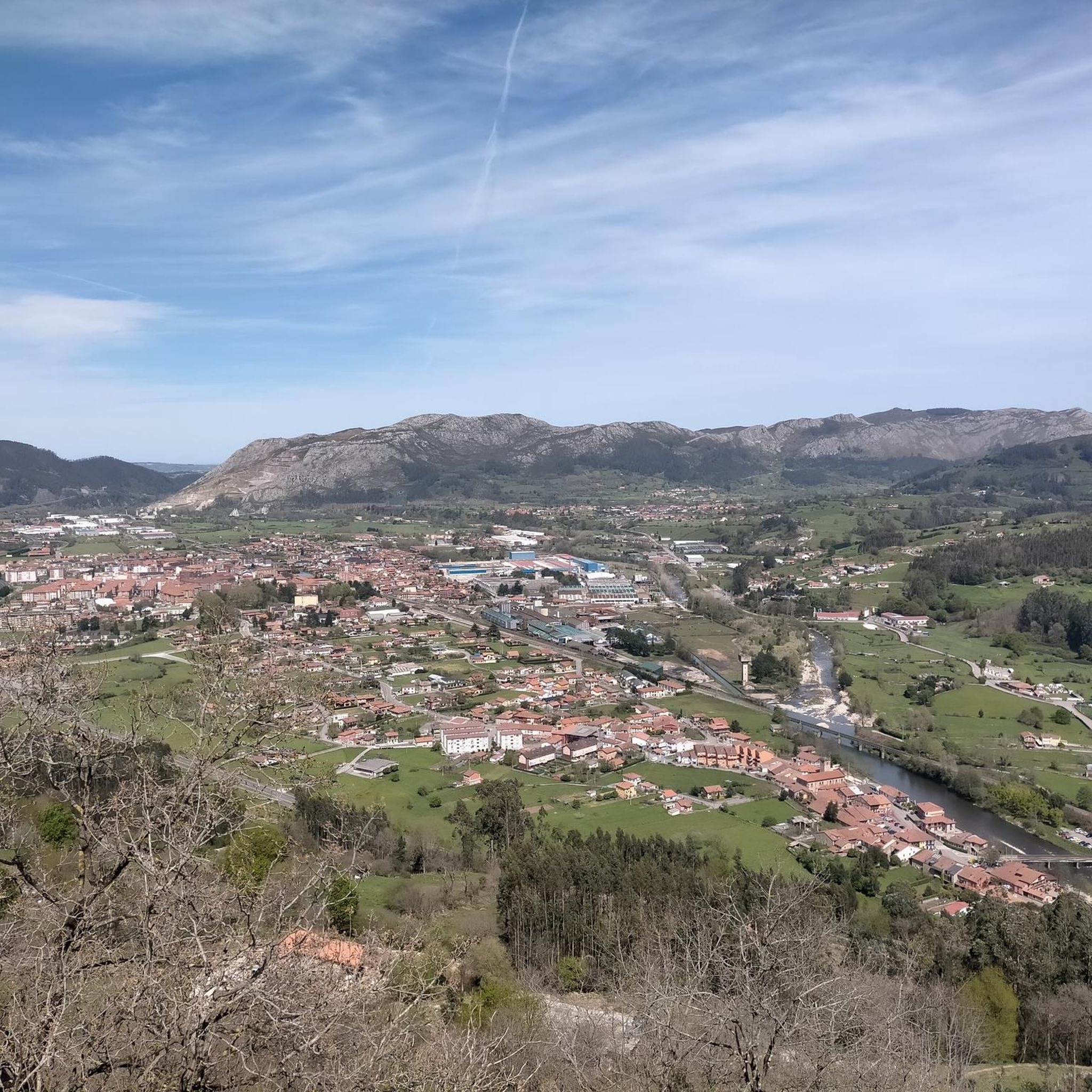
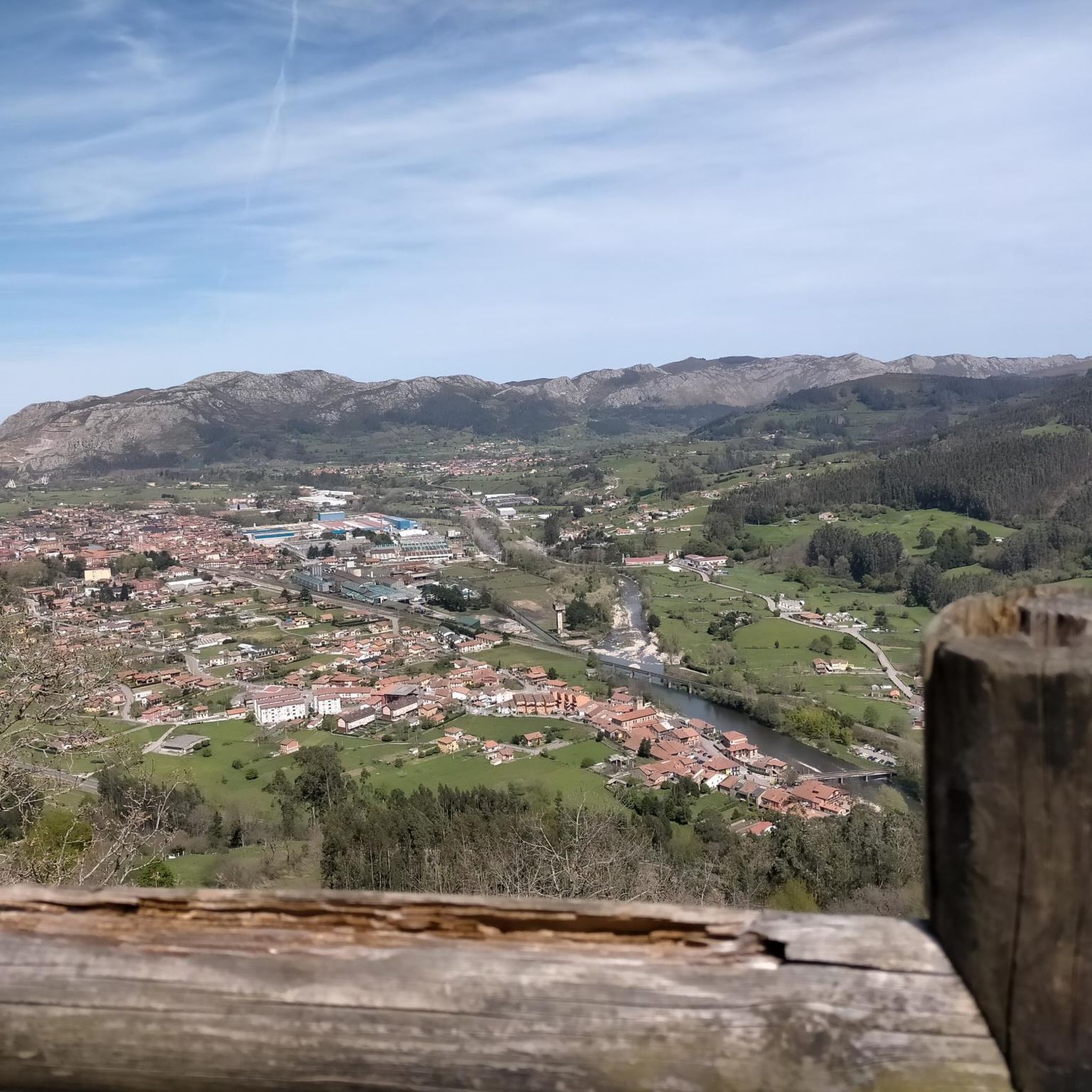
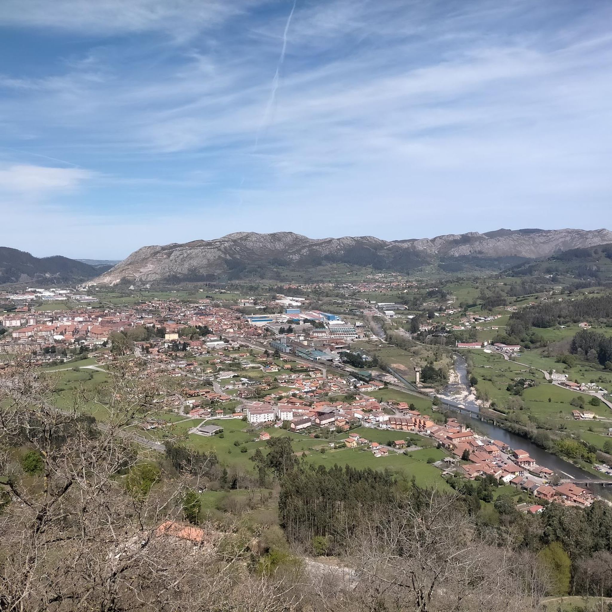
At the beginning of the San Andrés neighbourhood, in Somahoz, the views upstream from the Besaya are beautiful. This is the starting point for several routes.
1
0
The Redondo River makes a few waterfalls along the route (about 11 if I'm not mistaken), some of which are truly beautiful and in an enviable location.
0
0
로스 코랄레스 데 부엘나 주변에서 가장 인기 있는 명소


더 살펴보기
다른 지역의 최고의 하이킹를 살펴보세요.
