타베나 최고의 러닝 경로
4.4
(76)
5,561
달리기 하는 사람
208
러닝
타베나에서 하이킹하며 본부 구석 부분까지 살펴볼까요? 타베나에 있는 모든 하이킹 및 워킹 경로 컬렉션 중 가장 멋진 하이킹 경로를 엄선하여 소개해드릴게요. 다른 하이커가 공유한 실제 팁과 사진을 살펴보고 후기를 읽으며 마음에 드는 타베나 워킹 경로를 찾아보세요.
마지막 업데이트: 9월 1, 2026
5.0
(1)
203
달리기 하는 사람
8.89km
01:21
300m
300m
어려운 조깅. 우수한 체력 필요. 튼튼한 신발을 신고 미끄러지지 않게 조심해야 하며, 높은 산을 오른 경험이 있어야 함.
2
달리기 하는 사람
10.2km
01:36
460m
460m
어려운 조깅. 우수한 체력 필요. 튼튼한 신발을 신고 미끄러지지 않게 조심해야 하며, 높은 산을 오른 경험이 있어야 함.

무료 회원 가입
49
달리기 하는 사람
15.4km
02:15
710m
720m
어려운 조깅. 우수한 체력 필요. 튼튼한 신발을 신고 미끄러지지 않게 조심해야 하며, 높은 산을 오른 경험이 있어야 함.
13
달리기 하는 사람
14.7km
02:17
560m
560m
어려운 조깅. 우수한 체력 필요. 튼튼한 신발을 신고 미끄러지지 않게 조심해야 하며, 높은 산을 오른 경험이 있어야 함.
8
달리기 하는 사람
11.9km
01:32
500m
500m
어려운 조깅. 우수한 체력 필요. 대부분 포장된 지면. 실력과 관계없이 누구나 갈 수 있음.
더 다양한 경로와 다른 탐험가들의 추천을 살펴보세요.
무료 회원 가입
이미 komoot 계정이 있나요?
투어 추천은 다른 사람들이 komoot에서 완료한 수천 개의 활동을 바탕으로 구성되어 있습니다.
오늘 무료 계정으로 시작하세요
다음 모험이 기다리고 있어요.
로그인 또는 가입하기
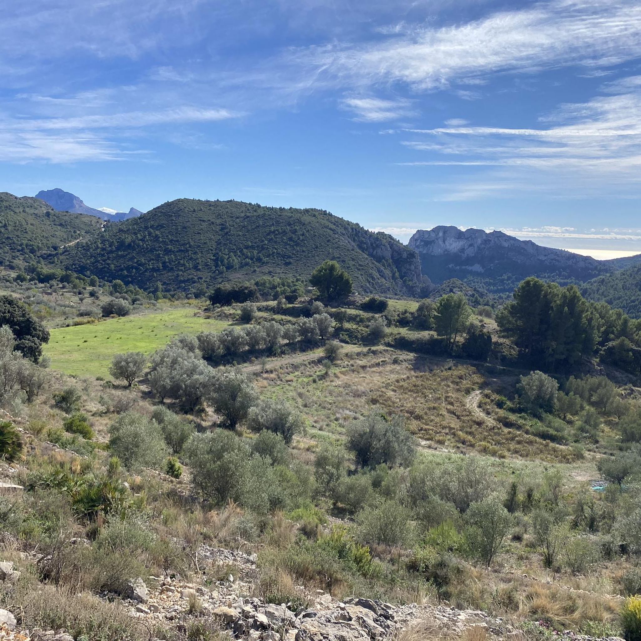
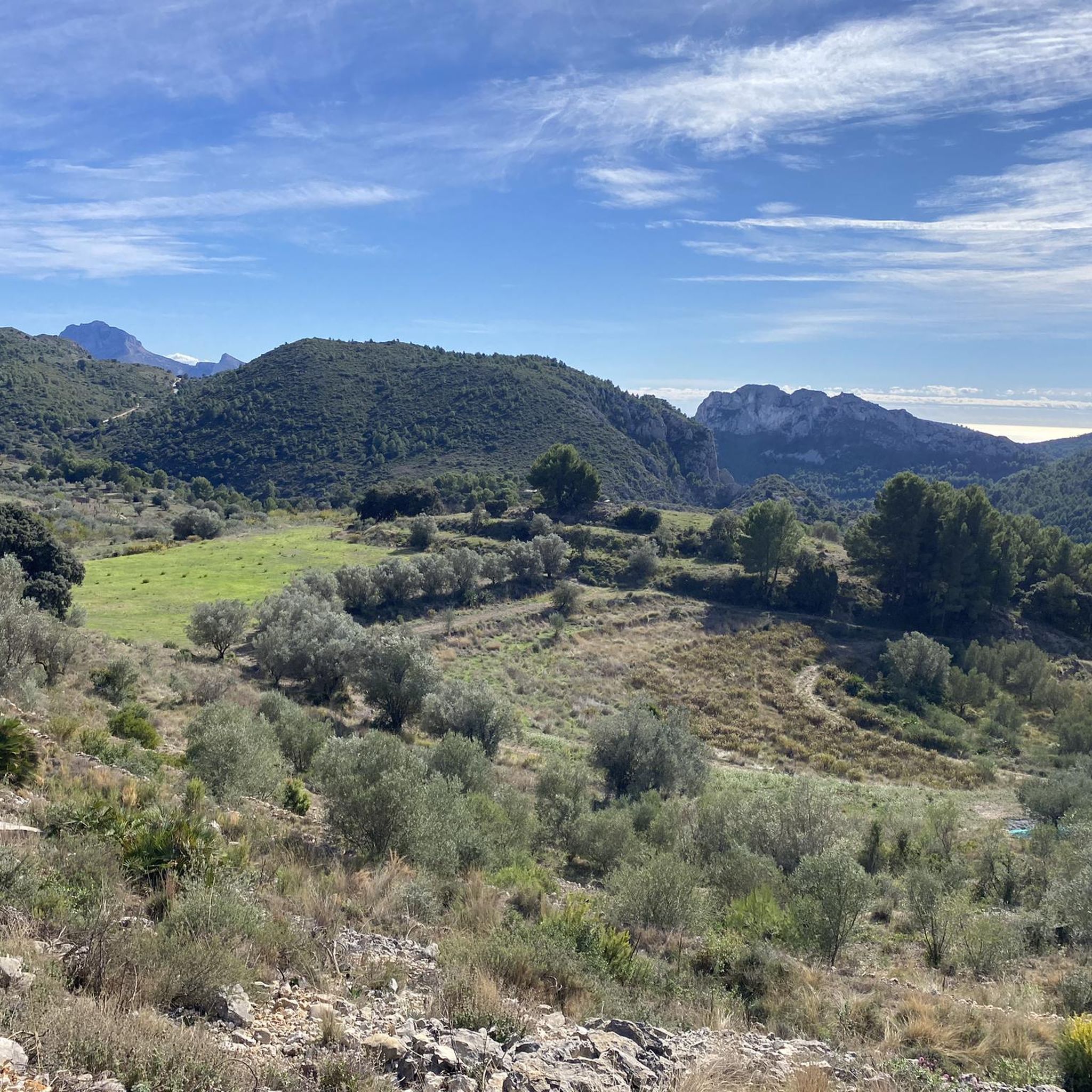
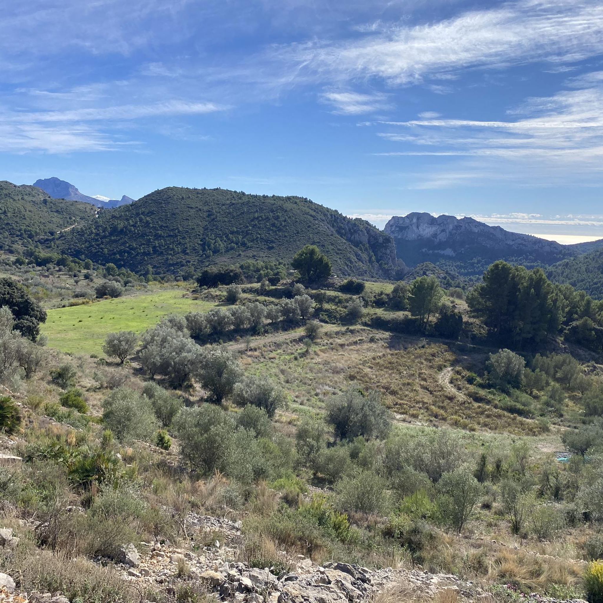
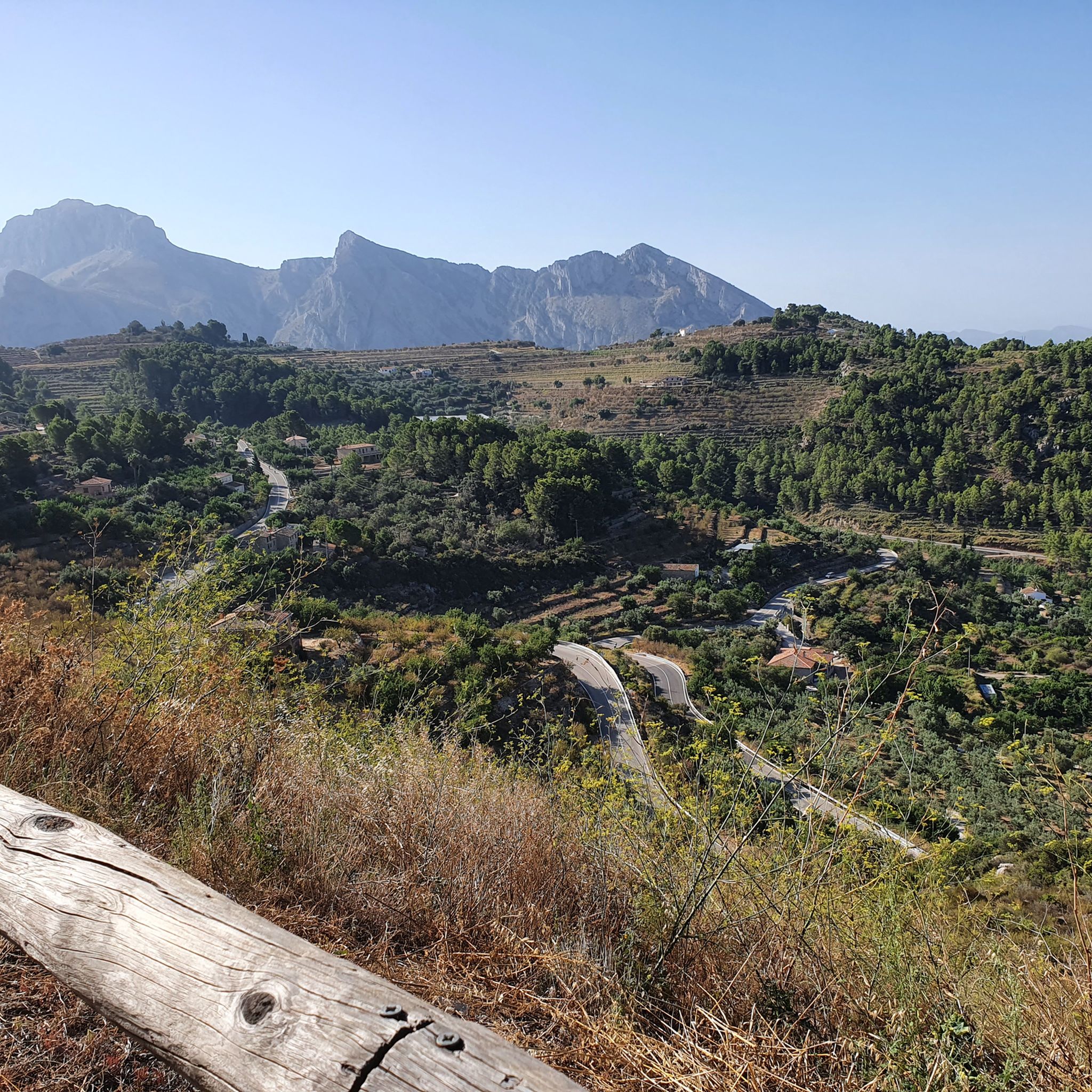
커뮤니티 팁


This house isn’t the only one.Benigembla and other villages in the Vall de Pop, like Llíber and Senija, also feature beautiful wall murals. Keep your eyes open as you explore local street art pops up in unexpected places.
3
0

The Forat de Bèrnia is an impressive place in the Sierra de Bèrnia, located in the Valencian Community, Spain. This natural tunnel, about 15 to 20 meters long, crosses the mountain range from north to south. At its widest entrance, it offers panoramic views of Altea, the Serra Gelada and the Mediterranean. The Forat de Bèrnia is presented as a spacious natural shelter that becomes a magnificent viewpoint of the Costa Blanca. If you decide to do this route, I recommend avoiding weekends and holidays to avoid the crowds and preserve the natural environment. I hope you enjoy this natural wonder! 😊🏞️
4
0

One of the ideal towns for mountain biking in the Marina Alta is Castell de Castells. From there you can climb to the Cima del Cocoll. It is an ascent of moderate difficulty in which you can climb to the geodesic vertex which is next to a forest observatory. From the top there is a beautiful panoramic view. The route to this summit can be started from Benigembla. Or, from Castell de Castells passing quite close to the natural area of Els Arcs. The last section towards the Cim del Cocoll along the PR-CV 427 runs near the Paraje de Els Arcs. In fact, you begin to climb along a track in good condition at just over 722 meters above sea level that leads towards the location of the Corrales de Plans d'Aialt. Although, the first 400 meters along this track do not have a slope. There is no doubt that it is a spectacular natural environment. And, walking along the track that leads to Cocoll, you will also see Es Crestall and Es Pla de Sa Cova.
0
0

Anticlockwise tour resulting in more difficult descent of the head of the vally. Possibly safer if undertaken clockwise, Ascent or descent in wet weather would be potentially dangerous due to wet rock and steep slippery mud sections.
0
1

Built by the Kingdom of Valencia during the time of Philip II (16th century), it is an important exponent of Italian-style Renaissance military architecture. Its function was the defense of the coast in combination with the watchtowers such as the Torre Bombarda de l'Albir, the Torre de l'Aguiló in Finestrat or the Torre de la Punta del Cavall in Racó de l'Oix (all of them visitable on other excursions). They housed military reinforcements that were sent when the fleets of Barbary corsairs were sighted by the watchmen of the watchtowers, thus preventing the invasion of coastal towns. The Berbers plundered towns and kidnapped their people who were later sold in the slave markets of Oman or Algiers. From the Fort we enjoyed the impressive views of the coast and the interior of the Marina Baixa, the towns of Altea, Afas del Pi, l'Albir, Benidorm, la Nucía and Polop. The valleys of the Guadalest and Algar Rivers, the sea of plastic. The Gelada and Cortina mountains. And the greatest thing is the fantastic Aitana Massif: and the Puig Campana (1406 m).
1
0


더 살펴보기
다른 지역의 최고의 러닝 트레일 & 경로를 살펴보세요.
