푼타고르다에서 가장 멋진 12개의 산 정상
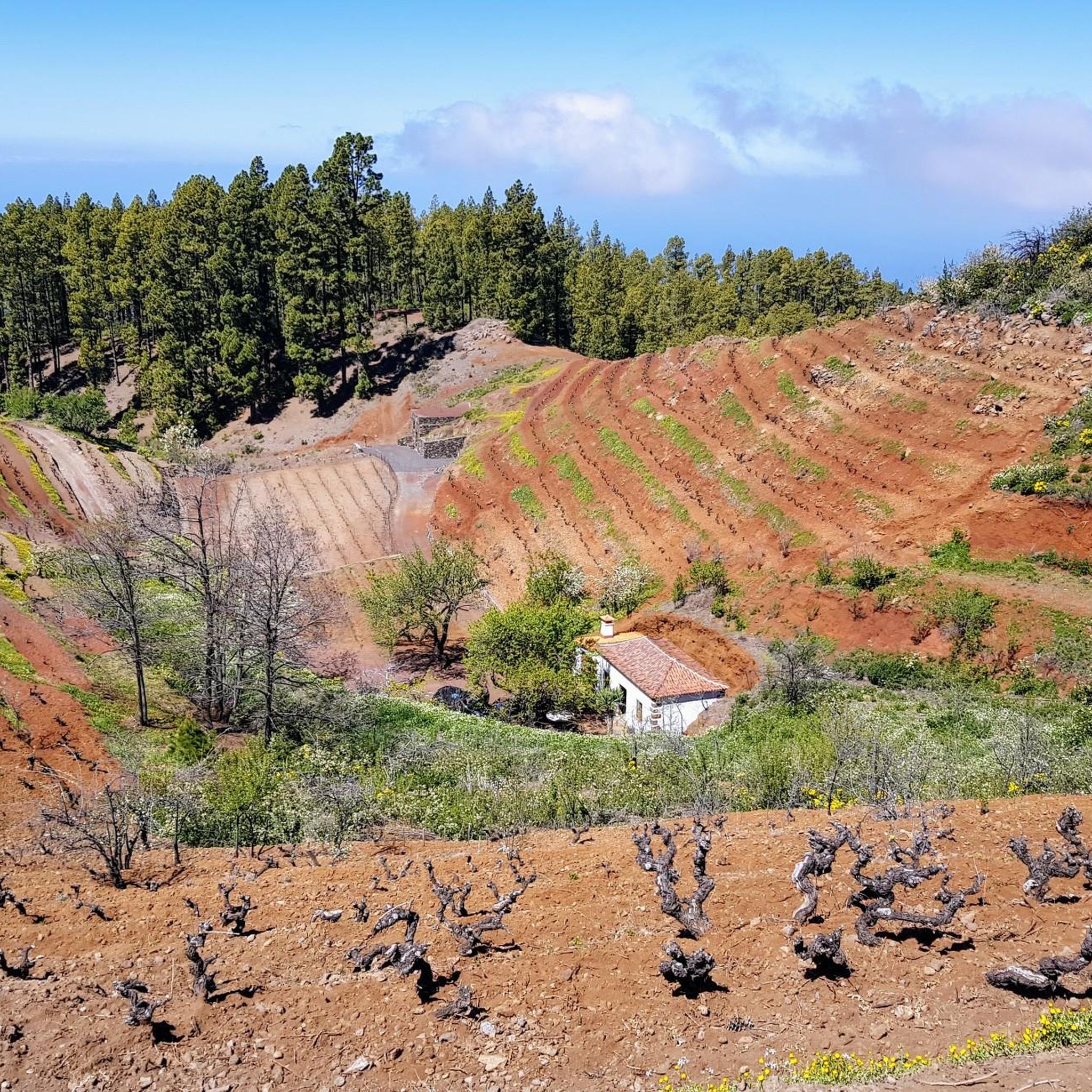
산봉우리 주변의 푼타고르다 라 팔마는 카나리아 제도의 라 팔마의 화산 지형과 산악 지형을 특징으로 합니다. 이 지역은 해수면부터 2,000미터 이상까지 상당한 고도 변화를 보이며, 깊은 협곡, 광활한 소나무 숲, 계단식 농경지로 유명합니다. 이 지역은 다양한 자연의 아름다움과 시골의 매력을 제공하며, 탐험을 위한 잘 표시된 트레일 네트워크를 갖추고 있습니다. 이러한 자연적 특징은 섬의 독특한 지리와 야외 탐험에 대한 매력에 기여합니다.
푼타고르다 주변 최고의 산봉우리
- 가장 인기 있는 산봉우리는 피코 베헤나도로, 360도 파노라마 전망을 제공하는 정상입니다. 맑은 날에는 칼데라 데 타부리엔테와…
마지막 업데이트: 10월 23, 2026
로케 데 로스 무차초스
하이라이트 • 정상
번역자 Google •
팁에 의해


이런 장소를 발견하려면 지금 가입하세요
최고의 싱글 트랙, 봉우리 및 다양한 흥미로운 야외 장소에 대한 추천을 받아보세요.
피코 데 라 니에베
하이라이트 • 정상
번역문 보기
팁에 의해

피코 푸엔테 누에바
하이라이트 • 정상
번역자 Google •
팁에 의해
피코 베헤나도로 가는 트레일
하이라이트 • 트레일
번역자 Google •
팁에 의해

무료로 가입하여 푼타고르다 주변의 더 많은 봉우리를 발견하세요.
이미 komoot 계정이 있나요?
오늘 무료 계정으로 시작하세요
다음 모험이 기다리고 있어요.
커뮤니티 팁

Magnificent view, 2,366 meters above sea level - the second highest point on La Palma after the Roque de los Muchachos.
0
0


이 코스는 테네리페의 테이데를 바라보며 드루이드 진저, 소나무 숲 한가운데를 통과합니다. 정말 멋진 전망입니다.
1
0
It's worth it even in cloudy weather, as you have a beautiful view of the sea of clouds from above.
1
0

Try to get to the top as early as possible. Later in the day the road becomes very busy and there are few parking spaces left.
5
1

Great all-round view, which you get as compensation after a sweaty ascent. (1.8.23)
0
0

On a day with visibility you will see the nearby islands. Don't miss the sunset, the colors are different here. The temperature changes constantly, don't forget your windbreak
7
0

Thanks to the Roque de los Muchachos, the island of La Palma is the second highest island in the archipelago after Tenerife. The top of El Roque reaches 2,428 meters in height and is one of the most emblematic natural monuments on the entire island. The name comes from its shape, since there are 3 small rocks together that seem to be 3 people together.
1
0
푼타고르다 주변에서 가장 인기 있는 경로
푼타고르다 주변에서 가장 인기 있는 명소


더 살펴보기
이 가이드를 통해 푼타고르다 주변의 더 놀라운 정상들을 확인해보세요:
