토릴 최고의 워킹 & 하이킹 경로
4.6
(425)
2,307
등산객
42
하이킹
정확한 경로를 찾는 것이 때로는 어렵지만 토릴에서 하이킹을 하면 다양한 경치를 마음껏 감상할 수 있답니다. 토릴에서 가장 멋진 하이킹과 워킹 중에서 마음에 드는 활동을 시작해보세요.
마지막 업데이트: 8월 30, 2026
4.8
(81)
364
등산객
7.83km
02:21
170m
170m
보통 하이킹. 좋은 체력 필요. 대부분 갈 수 있는 길. 미끄러지지 않게 조심해야 함.
4.3
(4)
13
등산객
7.81km
02:42
270m
280m
보통 하이킹. 좋은 체력 필요. 대부분 갈 수 있는 길. 미끄러지지 않게 조심해야 함.

무료 회원 가입
5.0
(1)
4
등산객
16.9km
05:16
310m
310m
어려운 하이킹. 우수한 체력 필요. 튼튼한 신발을 신고 미끄러지지 않게 조심해야 하며, 높은 산을 오른 경험이 있어야 함.
4.6
(20)
100
등산객
보통 하이킹. 좋은 체력 필요. 대부분 갈 수 있는 길. 미끄러지지 않게 조심해야 함.
4.6
(34)
127
등산객
6.37km
01:58
160m
160m
보통 하이킹. 모든 체력 수준에 적합. 대부분 갈 수 있는 길. 미끄러지지 않게 조심해야 함.
더 다양한 경로와 다른 탐험가들의 추천을 살펴보세요.
무료 회원 가입
이미 komoot 계정이 있나요?
투어 추천은 다른 사람들이 komoot에서 완료한 수천 개의 활동을 바탕으로 구성되어 있습니다.
오늘 무료 계정으로 시작하세요
다음 모험이 기다리고 있어요.
로그인 또는 가입하기
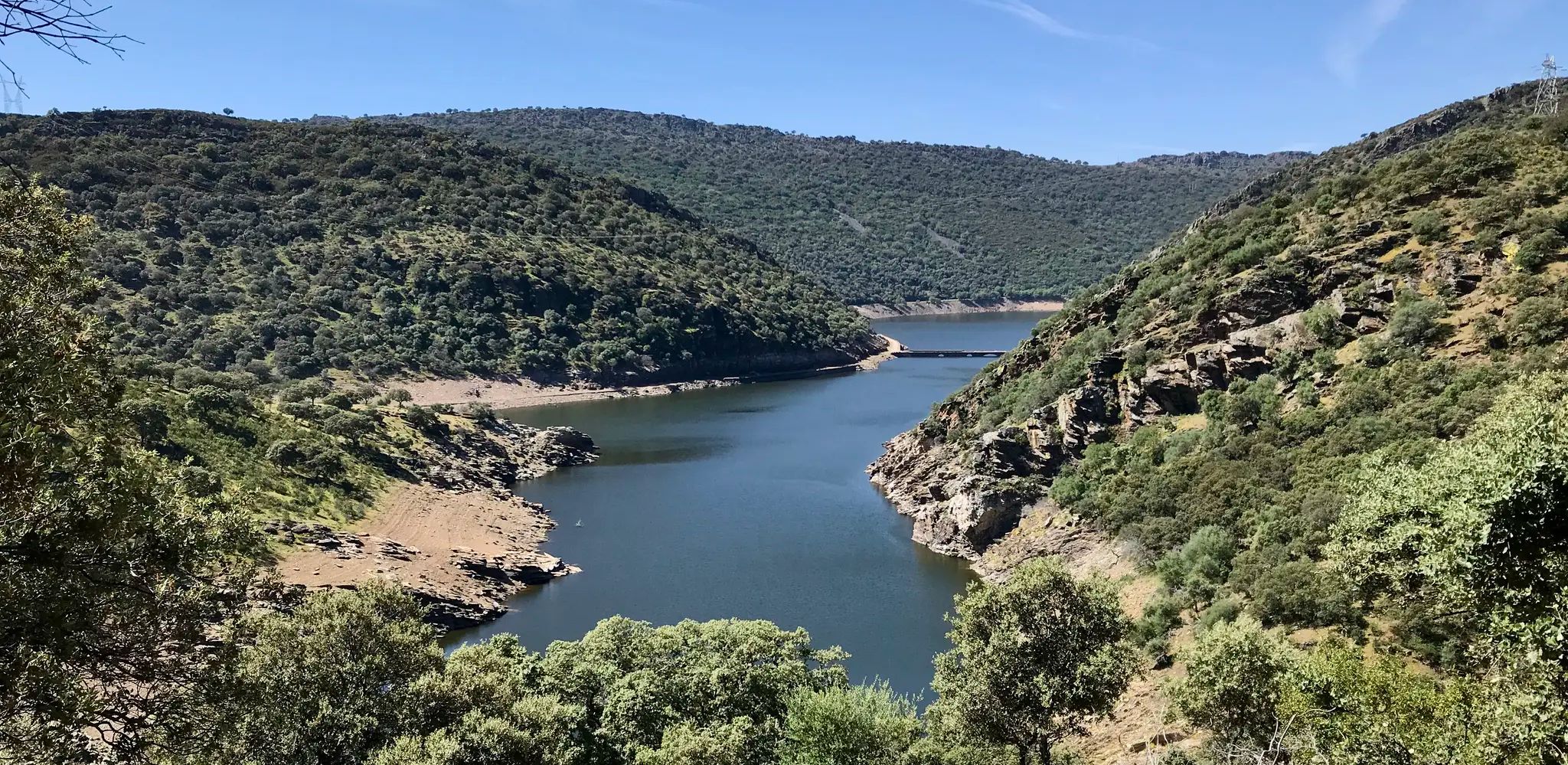
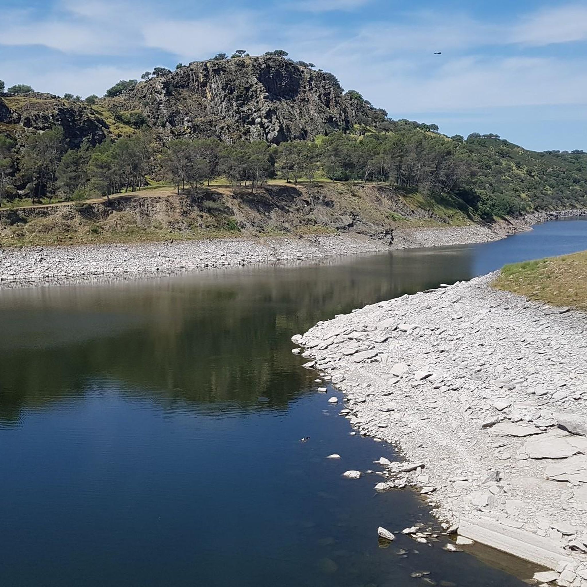
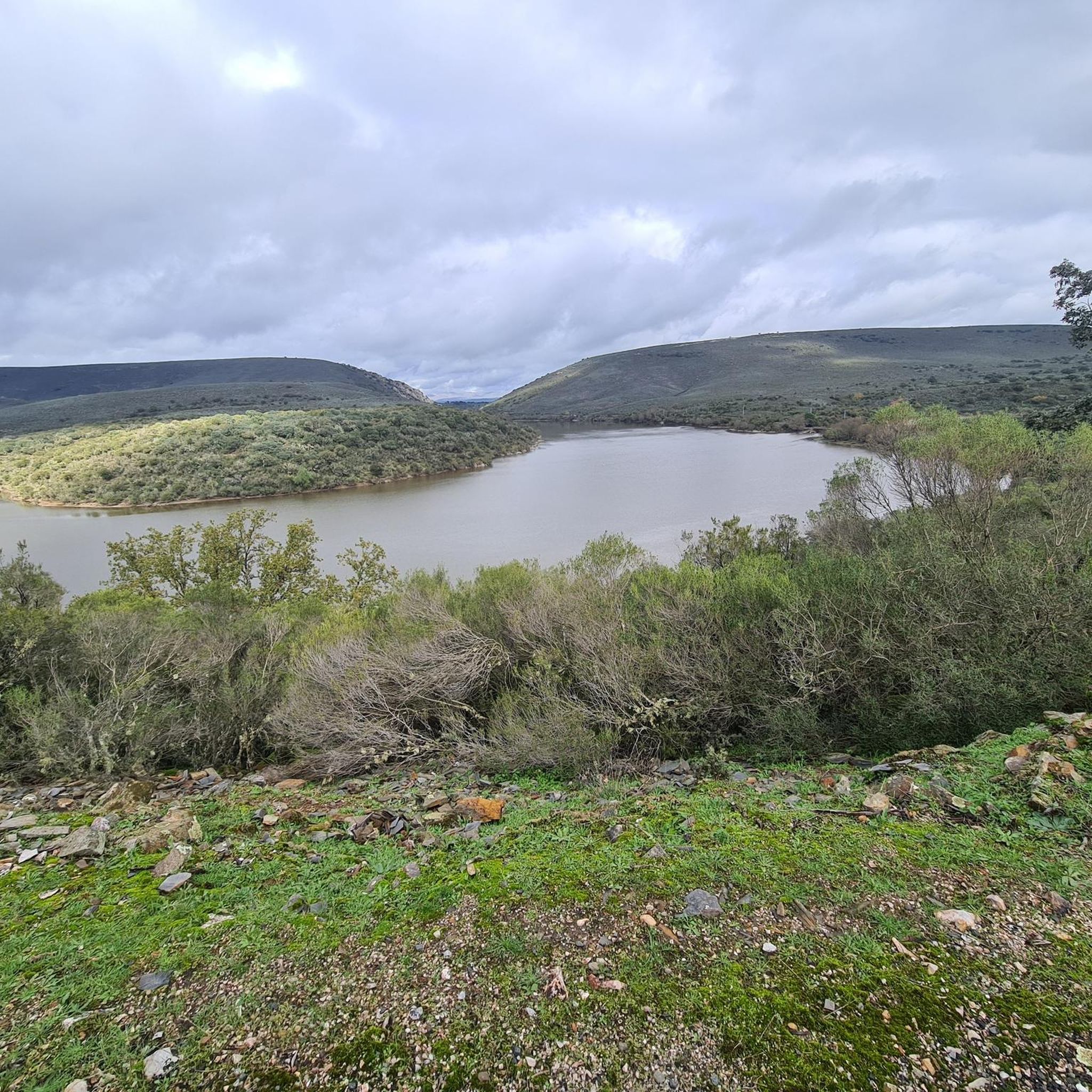
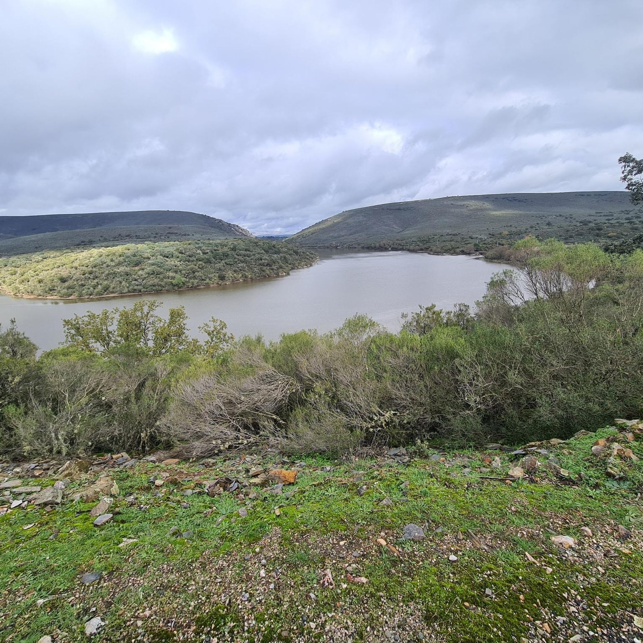

커뮤니티 팁

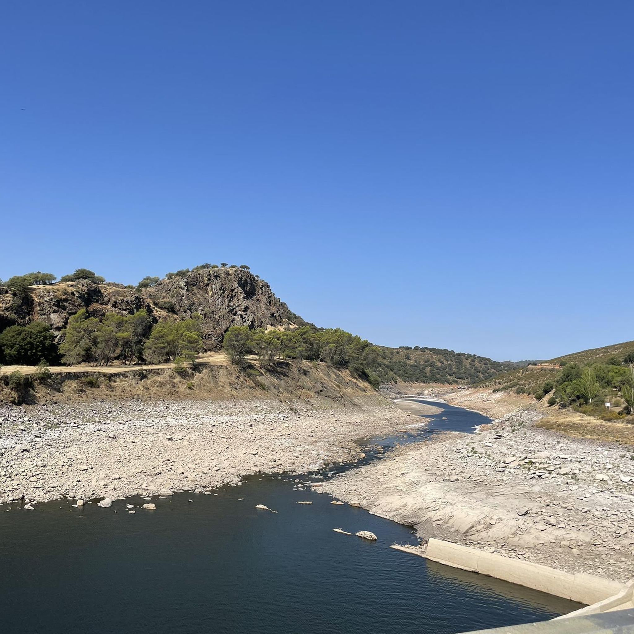
인기 있는 전망대이며, 그럴 만한 이유가 있습니다. 아름답고 다양한 맹금류를 볼 수 있습니다. 이곳에서 몬프라구 성으로 이어지는 하이킹 코스도 시작됩니다.
11
1

아름다운 작은 다리와 그늘에서 쉴 수 있는 곳.
12
0

Walk across the bridge before continuing. Beautiful view of the gorge.
0
0

It's a bit of a steep climb, but the view is so beautiful
4
0

Villarreal de San Carlos is a district belonging to the town of Serradilla in the province of Cáceres, Autonomous Community of Extremadura, Spain. It was founded between 1758 and 1788 by Charles III as a permanent garrison to monitor the Monfragüe area, which at that time was devastated by banditry.
2
0
The bridge is located between the municipalities of Torrejón el Rubio and Serradilla, in the Monfragüe national park. Downstream from the mouth of the Tiétar River, the bridge connects both banks of the Tagus. This medieval bridge, built in the 15th century, consists of a total of five arches. It was commissioned by the bishop of Plasencia, Juan Carvajal. Throughout its history, it has suffered damage and restoration, including the destruction of its central part during the War of Independence. In 1859, a wooden step was added until it was completely restored.
3
0

My hiking suggestion in the Monfragüe National Park: I start at the village of Villarreal de San Carlos and take the main path to the mountain Cerro Gimio. Here I enjoy the breathtaking view. We then continue along the lower path back to the village. Gnarled holm oaks line the path and I always enjoy the wonderful hilly and strangely gnarled landscape. Alternatively, you can walk along one of the narrow paths along the river. Unfortunately, they were closed when I visited. Here the path leads partly over wooden footbridges and stairs through the small gorge. https://youtu.be/hQM7vPsbXzA
5
0
토릴 주변에서 가장 인기 있는 경로
토릴 주변에서 가장 인기 있는 명소


더 살펴보기
다른 지역의 최고의 하이킹를 살펴보세요.
