라 발 데보에서 가장 멋진 20개의 산 정상
라 발 데보의 산 정상에 오르면 이 지역의 아름다운 모습을 제대로 구경할 수 있어요. 다만, 20
곳이나 되는 산 정상 중에서 어떤 곳을 가야 할 지 고민된다는 게 문제죠. 라 발 데보에서 가장 멋진 산 정상을 살펴본 후에 마음에 드는 산 정상을 다음 모험 계획에 추가해보세요.
마지막 업데이트: 8월 23, 2026

시에라 데 세가리아 정상
하이라이트 • 정상
번역자 Google •
팁에 의해
이런 장소를 발견하려면 지금 가입하세요
최고의 싱글 트랙, 봉우리 및 다양한 흥미로운 야외 장소에 대한 추천을 받아보세요.
무료 회원 가입
Mirador de Cocoll
하이라이트 • 전망대
번역자 Google •
팁에 의해

쿠에바 데 라스 칼라베라스
하이라이트 • 동굴
번역자 Google •
팁에 의해

오늘 무료 계정으로 시작하세요
다음 모험이 기다리고 있어요.
로그인 또는 가입하기
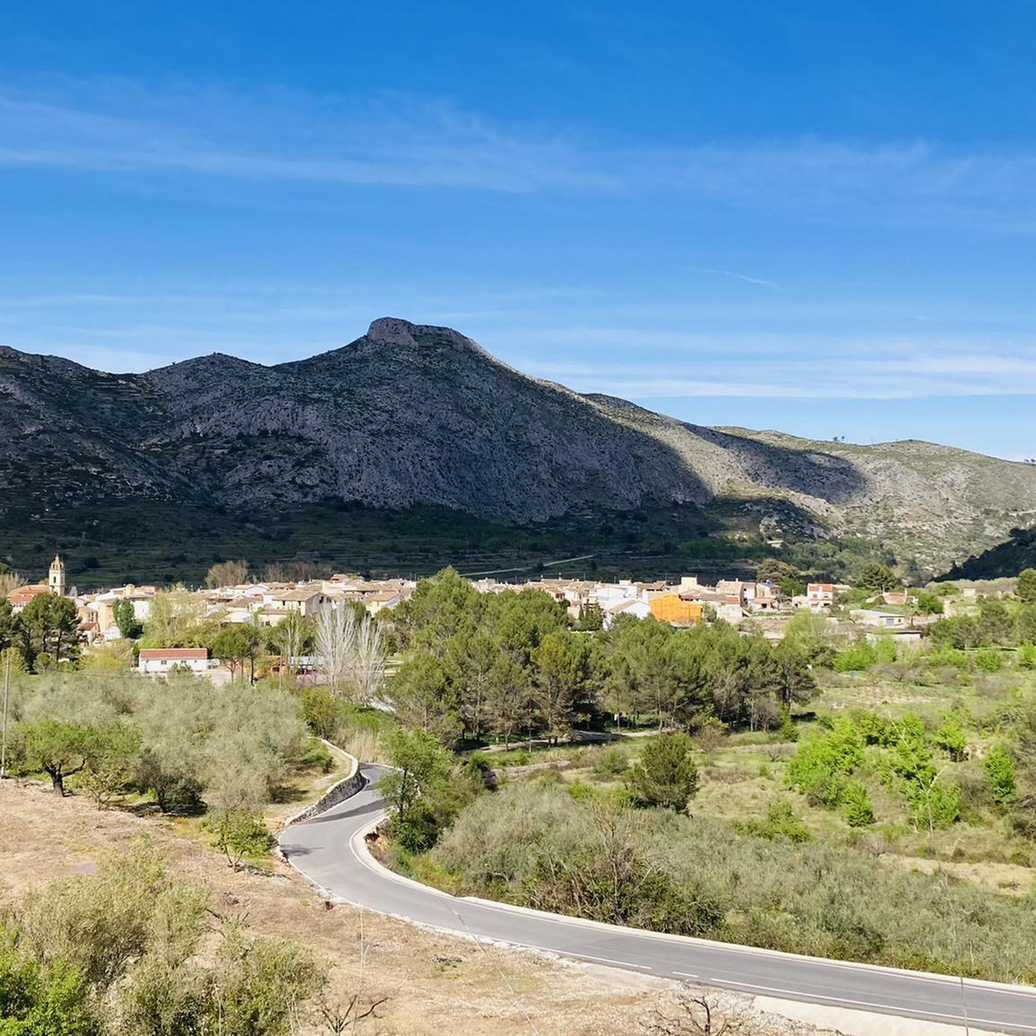
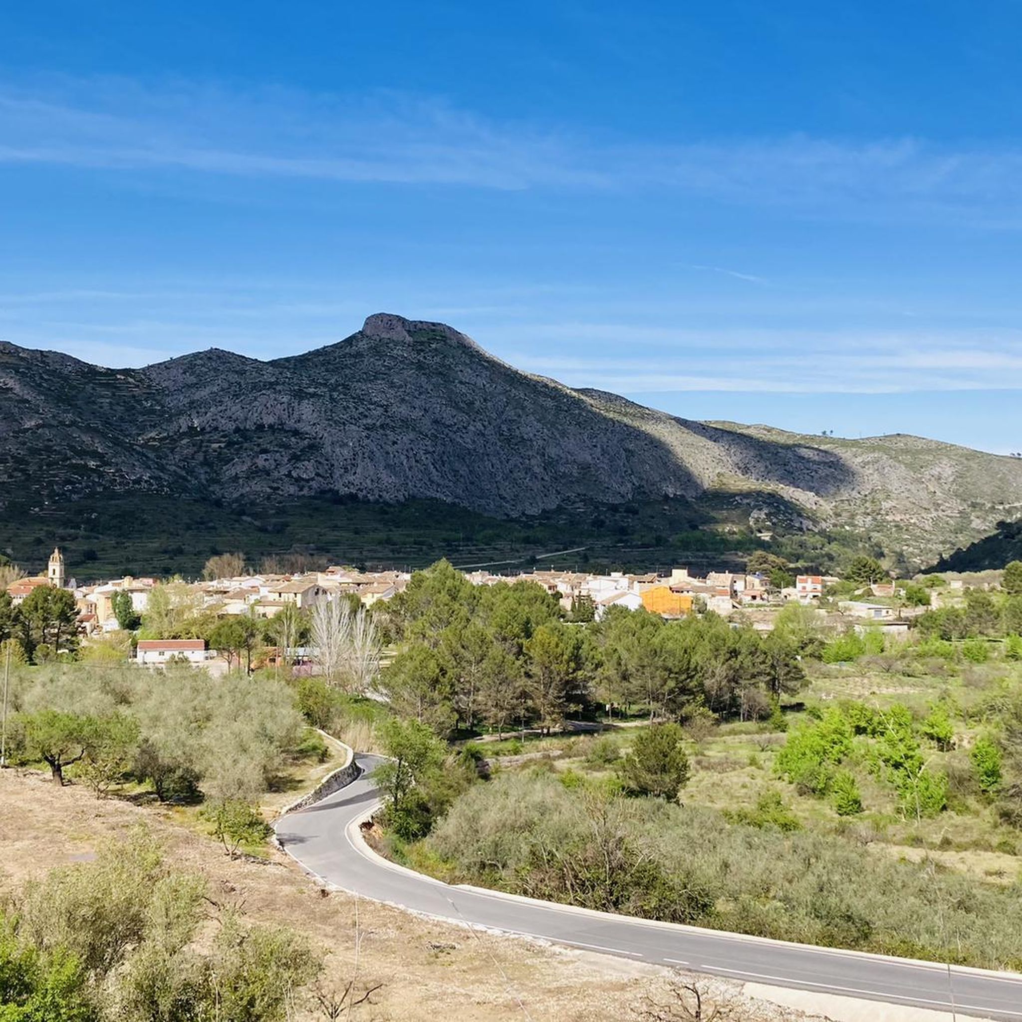
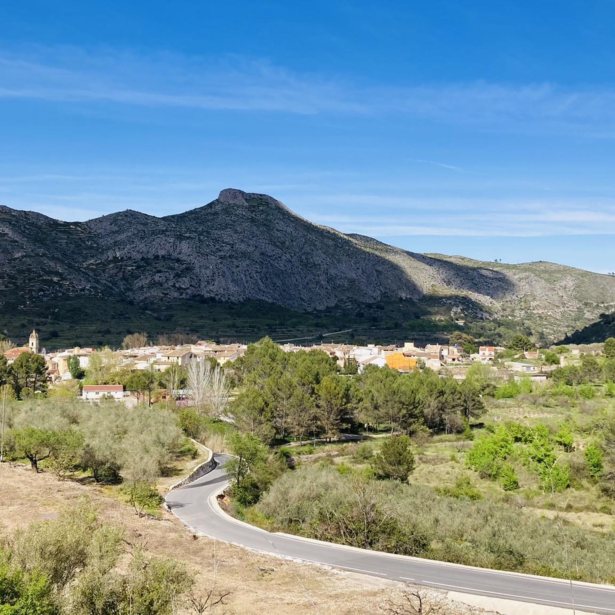
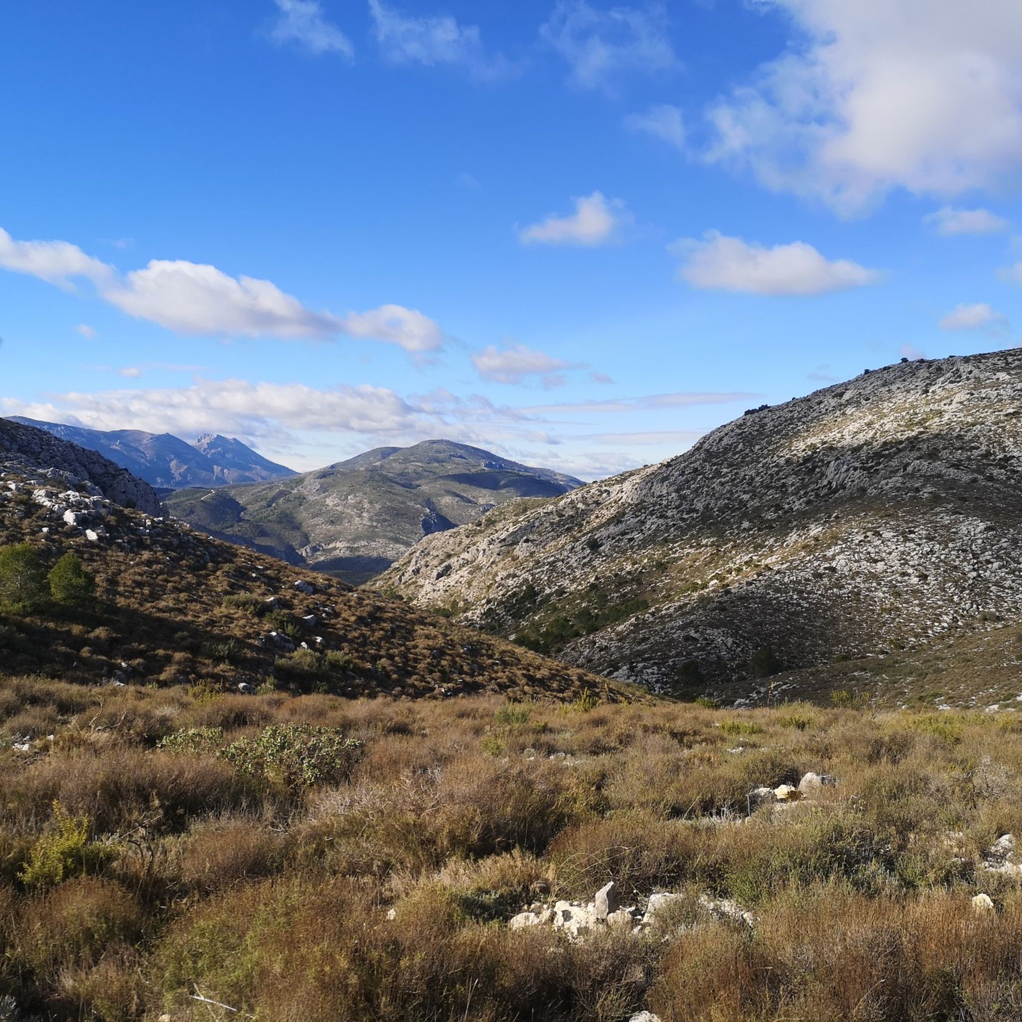

커뮤니티 팁

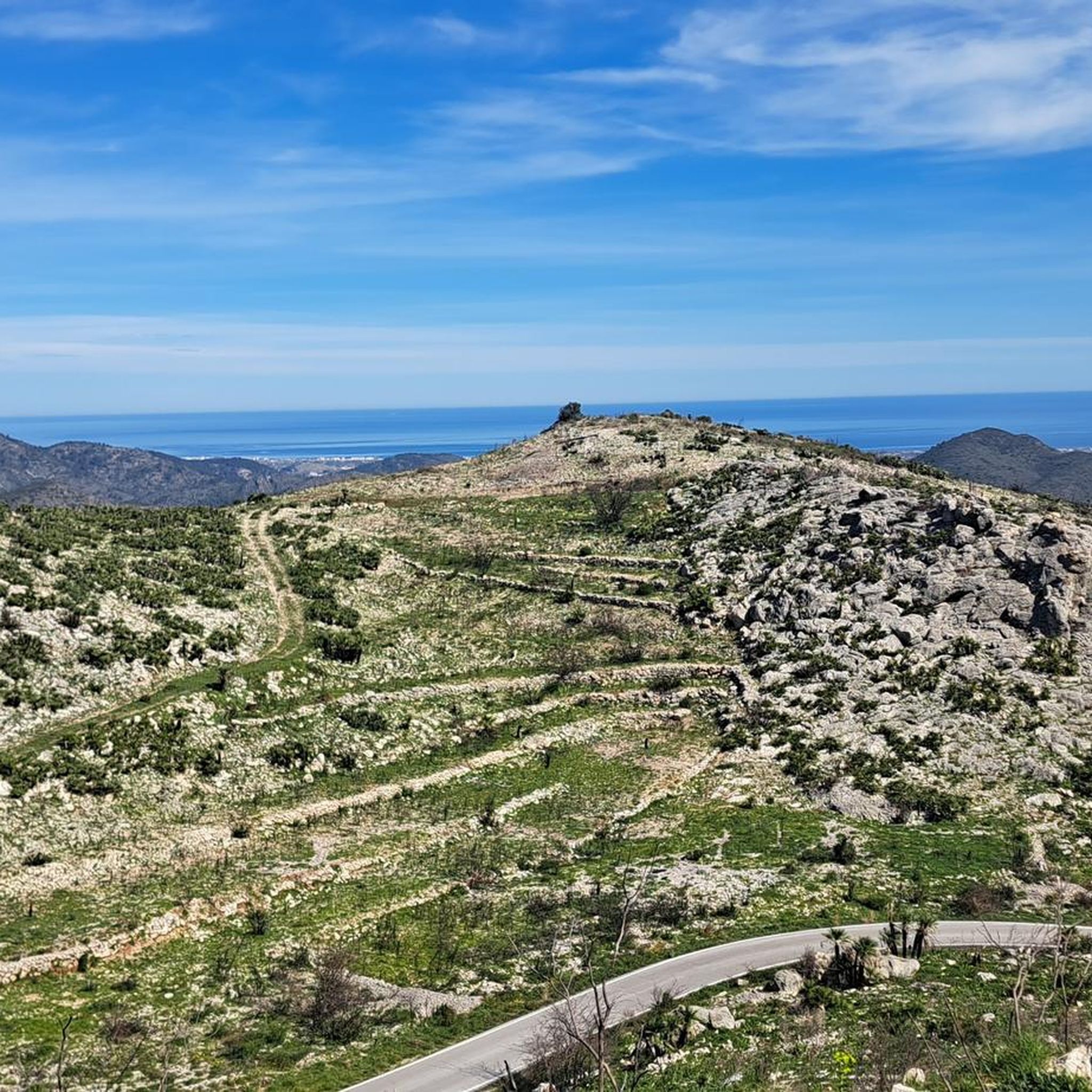
포르테 다 온다라(Portet d'Ondara)로 돌아가는 길은 같은 길을 따라 내려갑니다. 저는 하산할 때 동쪽으로 가서 오래된 수도교 길까지 내려갔습니다. 이 길은 서쪽 면을 통한 오르막길에 비해 훨씬 더 어렵습니다. 최대 40%의 경사가 있습니다. 식생과 잘 보이지 않는 노란색 길 표시 때문에 자주 멈춰서 주변을 둘러봐야 합니다. 돌탑과 GPS가 길을 찾는 데 도움이 됩니다. 하지만 전반적으로 진행이 느립니다. 수도교 길 아래의 이정표가 이미 이를 암시하고 있습니다: 포르테 다 온다라(Portet d'Ondara)까지 약 800m 거리에 1시간 10분 소요.
0
0
전망은 볼 가치가 있습니다. 하지만 여름철(30도 이상이 될 때)에는 이른 아침에만 등반하는 것이 좋으며, 오전 11시까지는 하산하는 것이 좋습니다. 저는 서쪽(아침에 그늘진 곳)에서 올라갔습니다. Portet d'Ondara까지는 길이 비교적 잘 인식됩니다. 그 후 정상 "Cim de Segària"까지는 길과 지형을 인식하기 어렵고 발밑을 조심해야 합니다. 거친 지형과 날카로운 돌 때문에 튼튼한 등산화가 도움이 됩니다. 트레일 러닝화로도 가능하지만, 신발이 많이 손상될 수 있습니다. 정상까지 가는 길은 종종 길을 찾아야 하거나 노란색 표시가 완전히 없는 구간도 있습니다. 지도에 따르면 이 길은 T2(SAC 척도)로 분류되어 있습니다. 길의 낮은 가시성, 거칠고 날카로운 돌 때문에 최소 T3 등급으로 생각하는 것이 좋습니다. 때로는 몇 개의 큰 돌을 기어오르거나 큰 점프를 해야 할 수도 있습니다.
0
0

Fantastic views and nice rocks to sit and have your lunch. Large flat area for large walking groups. Accessible from Murla on a steep SAC T3 path via the Hermita and Penya Migdia which does not include any chains or staples - BUT - if you continue west along the route there are chains and staples SAC T4 and T5 to negotiate. The T5 is a descent heading west to east and appears more daunting than if you were making an ascent. In my humble view it does not warrant a T5 rating. In reality any average competent walker will not experience any significant problem.
1
0

The start of the climb is demanding and gradually becomes easier. A rocky climb with ruts. A slight descent on stones, an accessible path and a descent on a well-paved road.
1
0

This section is "off-piste" to get to the top of Cavall Verd. It involves staples, a chain and some steep rock. This part of the trail must be descended the same way as you clambered up.
0
0

One of the ideal towns for mountain biking in the Marina Alta is Castell de Castells. From there you can climb to the Cima del Cocoll. It is an ascent of moderate difficulty in which you can climb to the geodesic vertex which is next to a forest observatory. From the top there is a beautiful panoramic view. The route to this summit can be started from Benigembla. Or, from Castell de Castells passing quite close to the natural area of Els Arcs. The last section towards the Cim del Cocoll along the PR-CV 427 runs near the Paraje de Els Arcs. In fact, you begin to climb along a track in good condition at just over 722 meters above sea level that leads towards the location of the Corrales de Plans d'Aialt. Although, the first 400 meters along this track do not have a slope. There is no doubt that it is a spectacular natural environment. And, walking along the track that leads to Cocoll, you will also see Es Crestall and Es Pla de Sa Cova.
0
0

Now it's cherry blossom. All levels of maturity can be seen.
0
0

라 발 데보 주변에서 가장 인기 있는 명소


더 살펴보기
이 가이드를 통해 라 발 데보 주변의 더 놀라운 정상들을 확인해보세요:
