비뉴엘라 최고의 러닝 경로
4.5
(25)
841
달리기 하는 사람
90
러닝
비뉴엘라에서 하이킹하며 벨레즈 말라가 구석 부분까지 살펴볼까요? 비뉴엘라에 있는 모든 하이킹 및 워킹 경로 컬렉션 중 가장 멋진 하이킹 경로를 엄선하여 소개해드릴게요. 다른 하이커가 공유한 실제 팁과 사진을 살펴보고 후기를 읽으며 마음에 드는 비뉴엘라 워킹 경로를 찾아보세요.
마지막 업데이트: 10월 14, 2026
18
달리기 하는 사람
22.8km
02:41
200m
200m
어려운 조깅. 우수한 체력 필요. 튼튼한 신발을 신고 미끄러지지 않게 조심해야 하며, 높은 산을 오른 경험이 있어야 함.
16
달리기 하는 사람
21.5km
02:32
190m
190m
어려운 조깅. 우수한 체력 필요. 튼튼한 신발을 신고 미끄러지지 않게 조심해야 하며, 높은 산을 오른 경험이 있어야 함.

18
달리기 하는 사람
26.6km
03:09
260m
260m
어려운 조깅. 우수한 체력 필요. 튼튼한 신발을 신고 미끄러지지 않게 조심해야 하며, 높은 산을 오른 경험이 있어야 함.
16
달리기 하는 사람
16.6km
01:59
250m
250m
어려운 조깅. 우수한 체력 필요. 튼튼한 신발을 신고 미끄러지지 않게 조심해야 하며, 높은 산을 오른 경험이 있어야 함.
5.0
(1)
10
달리기 하는 사람
20.7km
02:25
560m
560m
어려운 조깅. 우수한 체력 필요. 대부분 포장된 지면. 실력과 관계없이 누구나 갈 수 있음.
더 다양한 경로와 다른 탐험가들의 추천을 살펴보세요.
이미 komoot 계정이 있나요?
투어 추천은 다른 사람들이 komoot에서 완료한 수천 개의 활동을 바탕으로 구성되어 있습니다.
오늘 무료 계정으로 시작하세요
다음 모험이 기다리고 있어요.

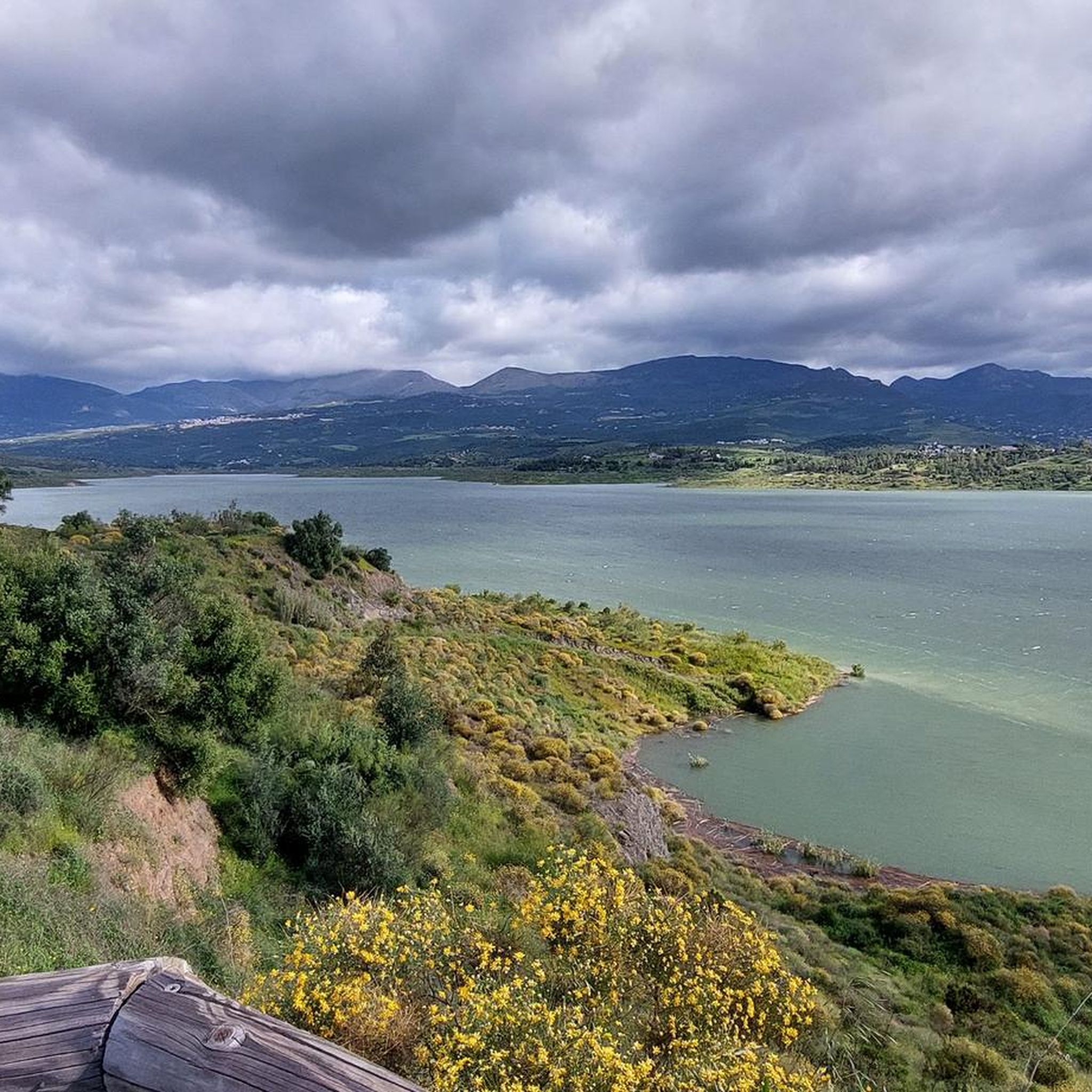
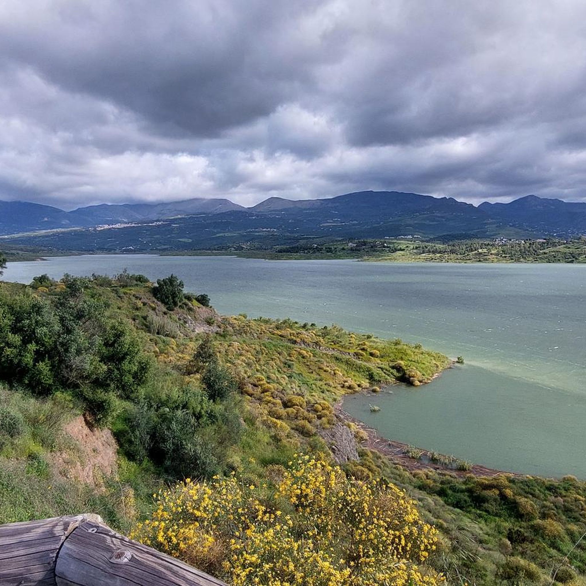
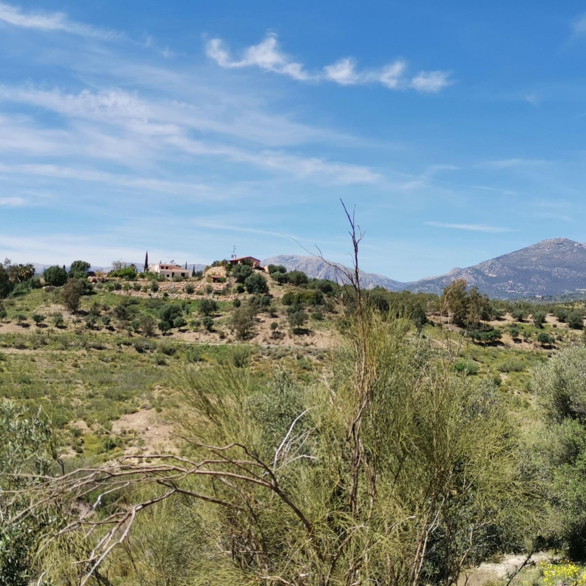
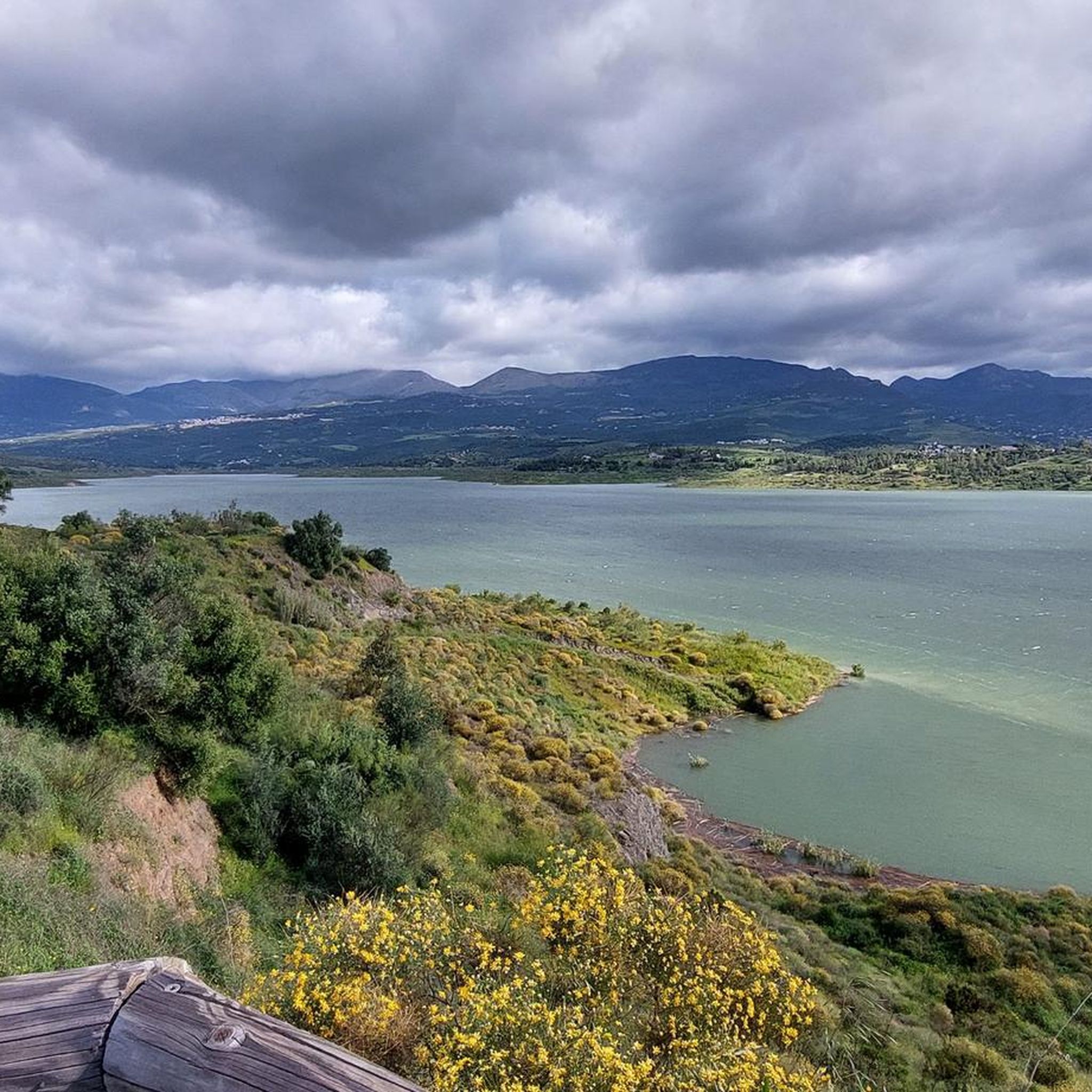

비뉴엘라 주변의 다른 모험

커뮤니티 팁


Here you can cool off for a bit. You can also view the main skeleton. You'll also encounter several cairns.
7
0


Great route with beautiful surroundings and great views!
0
0

Very nice route, but a small tip, take enough water with you. When we were there it was very hot. At one point, where there was still a little bit of water, at the small viaduct we met a fox. It took us 1 hour 43 minutes, with 2 small breaks.
1
0

Beautiful around the reservoir. After rain there are parts with sticky clay, but the majority is very doable.
5
0

Old train tracks that came from Vélez-Málaga and that used rack technology in the last section between La Viñuela, Periana and Ventas de Zafarraya. Rack trains had sprockets at the front that hooked into a third rail to navigate steep inclines. This route is mentioned in the work "The Face of Spain" by Gerald Brenan: "Past Vélez, the train began to climb on a rack railway. All afternoon it meandered between hills of reddish earth covered with vineyards, then descended to with devilish speed, and climbed back towards the pass."
0
0
This bridge and the small, almost unpopulated village to which it gives access, receive their name from the trough that was used to water the cattle that came from transhumance. There is still a large spring used by the few herds that still pass through here.
1
0
비뉴엘라 주변에서 가장 인기 있는 명소


더 살펴보기
다른 지역의 최고의 러닝 트레일 & 경로를 살펴보세요.
