생채프리 최고의 워킹 & 하이킹 경로
4.5
(534)
5,116
등산객
84
하이킹
정확한 경로를 찾는 것이 때로는 어렵지만 생채프리에서 하이킹을 하면 다양한 경치를 마음껏 감상할 수 있답니다. 생채프리에서 가장 멋진 하이킹과 워킹 중에서 마음에 드는 활동을 시작해보세요.
마지막 업데이트: 9월 1, 2026
4.7
(84)
758
등산객
6.84km
02:28
260m
260m
보통 하이킹. 좋은 체력 필요. 대부분 갈 수 있는 길. 미끄러지지 않게 조심해야 함.
4.6
(36)
249
등산객
13.8km
04:59
550m
550m
보통 하이킹. 좋은 체력 필요. 대부분 갈 수 있는 길. 미끄러지지 않게 조심해야 함.

무료 회원 가입
4.8
(13)
234
등산객
10.1km
03:56
390m
390m
어려운 하이킹. 좋은 체력 필요. 튼튼한 신발을 신고 미끄러지지 않게 조심해야 하며, 높은 산을 오른 경험이 있어야 함.
4.5
(4)
84
등산객
8.29km
02:44
390m
390m
보통 하이킹. 좋은 체력 필요. 대부분 갈 수 있는 길. 미끄러지지 않게 조심해야 함.
4.3
(7)
85
등산객
9.76km
03:24
540m
540m
보통 하이킹. 좋은 체력 필요. 실력과 관계없이 누구나 쉽게 갈 수 있는 길.
더 다양한 경로와 다른 탐험가들의 추천을 살펴보세요.
무료 회원 가입
이미 komoot 계정이 있나요?
투어 추천은 다른 사람들이 komoot에서 완료한 수천 개의 활동을 바탕으로 구성되어 있습니다.
오늘 무료 계정으로 시작하세요
다음 모험이 기다리고 있어요.
로그인 또는 가입하기



커뮤니티 팁

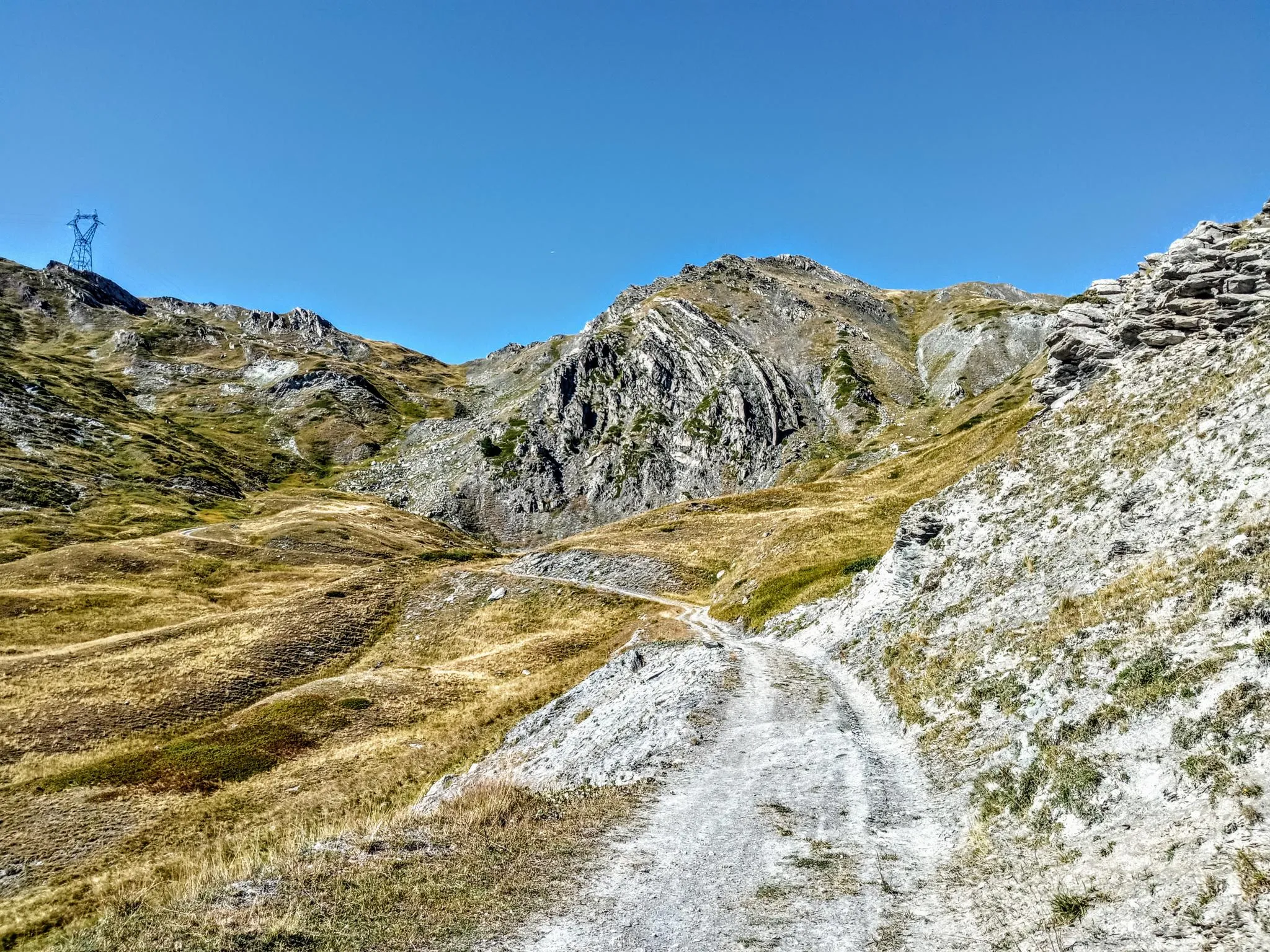
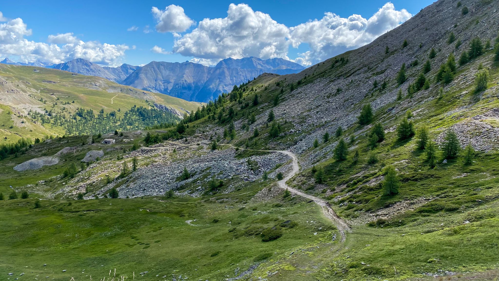
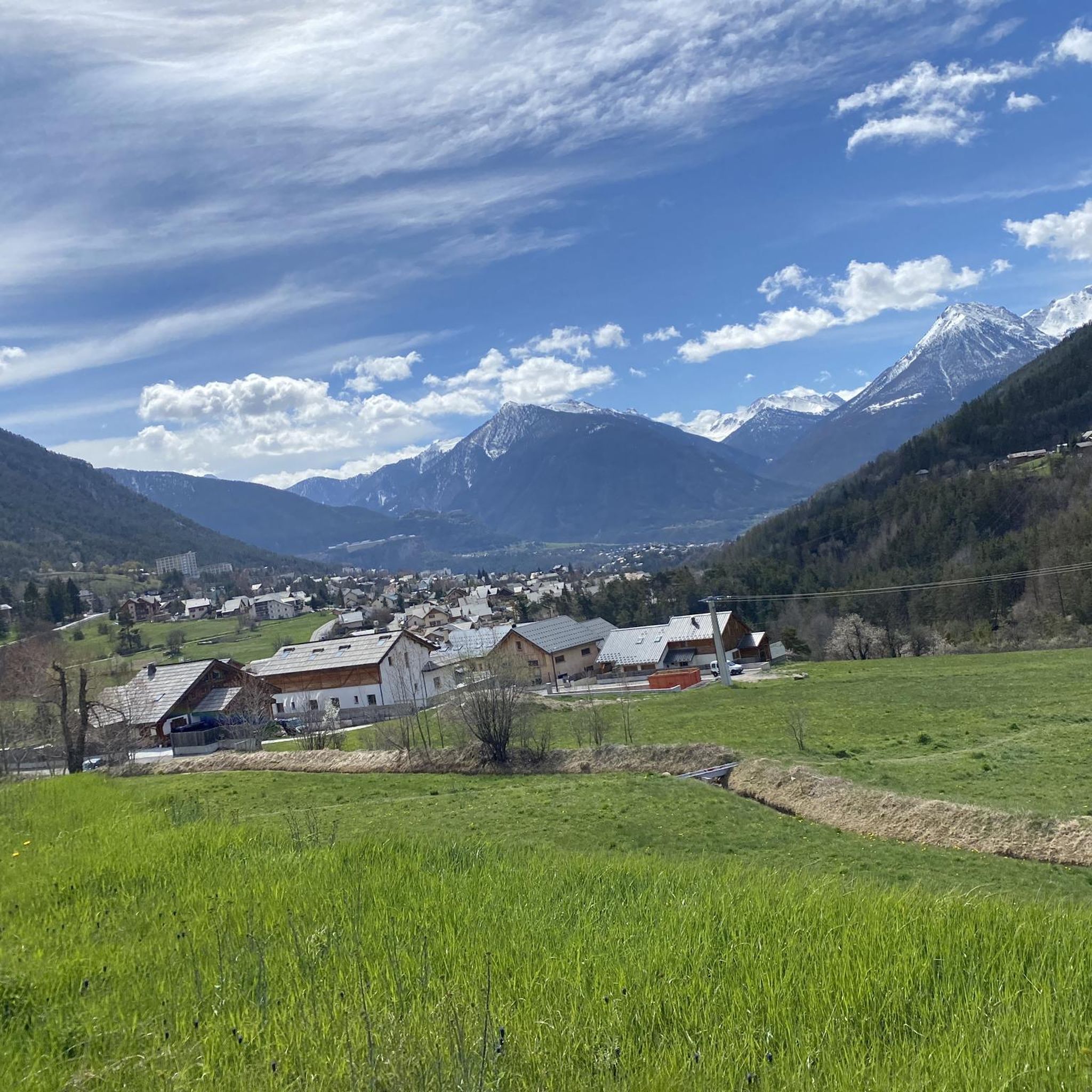
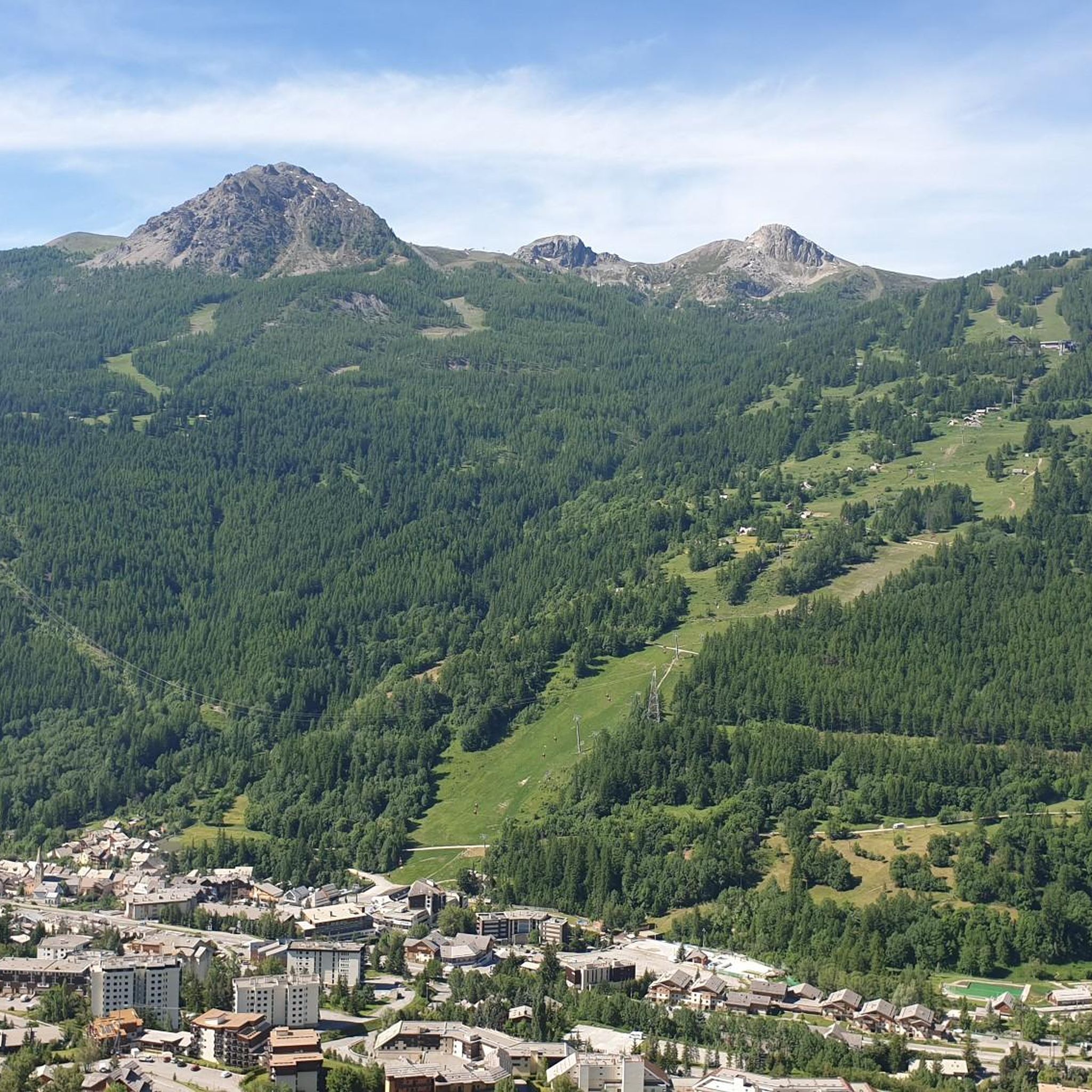
1시간도 채 안 되는 하이킹으로 콜 그라논에서 이 넓은 고개까지 갈 수 있으며, 바르도네키아 분지와 네바슈 계곡의 아름다운 전망을 감상할 수 있습니다. MTB로도 오를 수 있지만, 제가 했던 코스라면 점진적인 오르막과 시비에르 고개와 울 고개 사이의 멋진 횡단 구간을 더 잘 활용할 수 있습니다. 아주 짧은 노출된 암석 구간을 제외하고는 이 횡단은 누구나 할 수 있으며, 콜 그라논을 향한 하산은 매우 재미있습니다. 또한, 거의 도로까지 내려온 후, 하산의 일반적인 길을 버리고 오른쪽에서 보이는 전망 좋은 싱글 트랙을 따라가는 것도 가치가 있습니다. 거의 평지이며 콜 그라논 산장에 가까운 곳까지 이어집니다.
0
0

Getting to the top is quite a challenge.
20
1
Challenging climb, the gradients are almost always in double figures.
18
1
A tough climb in 11 km, you gain approximately 1100 m of elevation gain.
18
0
Very tough climb with gradients almost always in double figures.
17
0

Legendary Tour de France climb, Amazing Road winding up to the top, very little traffic going up and amazing views. One of the most beautiful climbs in the region imho
6
0


it is a nice "honest" climb both from the NEVACHE side (dirt road of medium difficulty due to the surface and the slope but practically free of traffic) and from the Serre Chevalier side (all asphalt but heavy traffic depending on whether it is a holiday or not). And then, once at the top of the hill, you can: go down on the opposite side to the uphill side, go down (MTB OCA) on medium-challenging single track but with very dangerous exposed sections, absolutely forbidden to fall or even take, after the cracks and the beer if the bar is open, the road up and back to where you came up from. If you get off on the opposite side you will need to consider recovering the car which will add a certain number of km to the lap. We did NOT go up to the Croix de Toulose (wet rocks and uncertain weather), immediately descending onto asphalt at Bois de l'Ours and then recovering the car after Val de Pres. Cost of the tour not even 40 km, not that much, all things considered.. .
3
0


더 살펴보기
다른 지역의 최고의 하이킹를 살펴보세요.
