바레 드 루우르 최고의 워킹 & 하이킹 경로
4.6
(433)
2,159
등산객
112
하이킹
정확한 경로를 찾는 것이 때로는 어렵지만 바레 드 루우르에서 하이킹을 하면 다양한 경치를 마음껏 감상할 수 있답니다. 바레 드 루우르에서 가장 멋진 하이킹과 워킹 중에서 마음에 드는 활동을 시작해보세요.
마지막 업데이트: 8월 18, 2026
4.5
(4)
26
등산객
6.16km
01:46
160m
160m
초급용 하이킹. 모든 체력 수준에 적합. 실력과 관계없이 누구나 쉽게 갈 수 있는 길.
17
등산객
3.82km
01:21
220m
220m
초급용 하이킹. 모든 체력 수준에 적합. 실력과 관계없이 누구나 쉽게 갈 수 있는 길.

무료 회원 가입
5.0
(1)
12
등산객
4.45km
01:22
160m
160m
초급용 하이킹. 모든 체력 수준에 적합. 실력과 관계없이 누구나 쉽게 갈 수 있는 길.
5.0
(1)
8
등산객
9.82km
03:14
450m
450m
보통 하이킹. 좋은 체력 필요. 실력과 관계없이 누구나 쉽게 갈 수 있는 길.
4.3
(3)
9
등산객
14.7km
04:37
550m
550m
보통 하이킹. 좋은 체력 필요. 실력과 관계없이 누구나 쉽게 갈 수 있는 길.
더 다양한 경로와 다른 탐험가들의 추천을 살펴보세요.
무료 회원 가입
이미 komoot 계정이 있나요?
투어 추천은 다른 사람들이 komoot에서 완료한 수천 개의 활동을 바탕으로 구성되어 있습니다.
오늘 무료 계정으로 시작하세요
다음 모험이 기다리고 있어요.
로그인 또는 가입하기
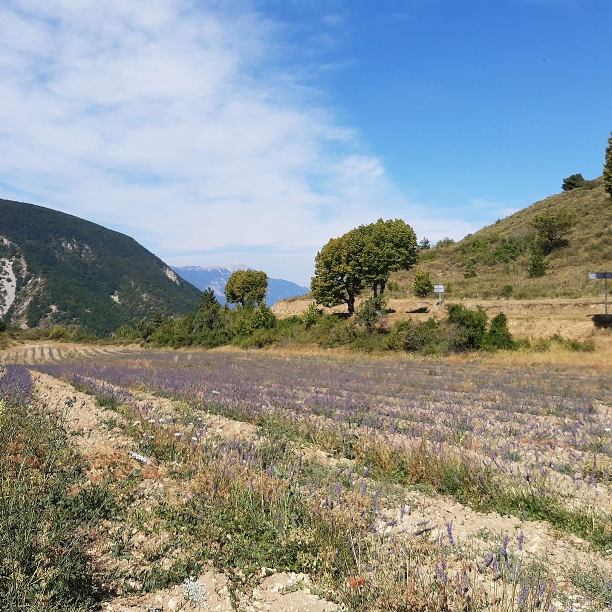
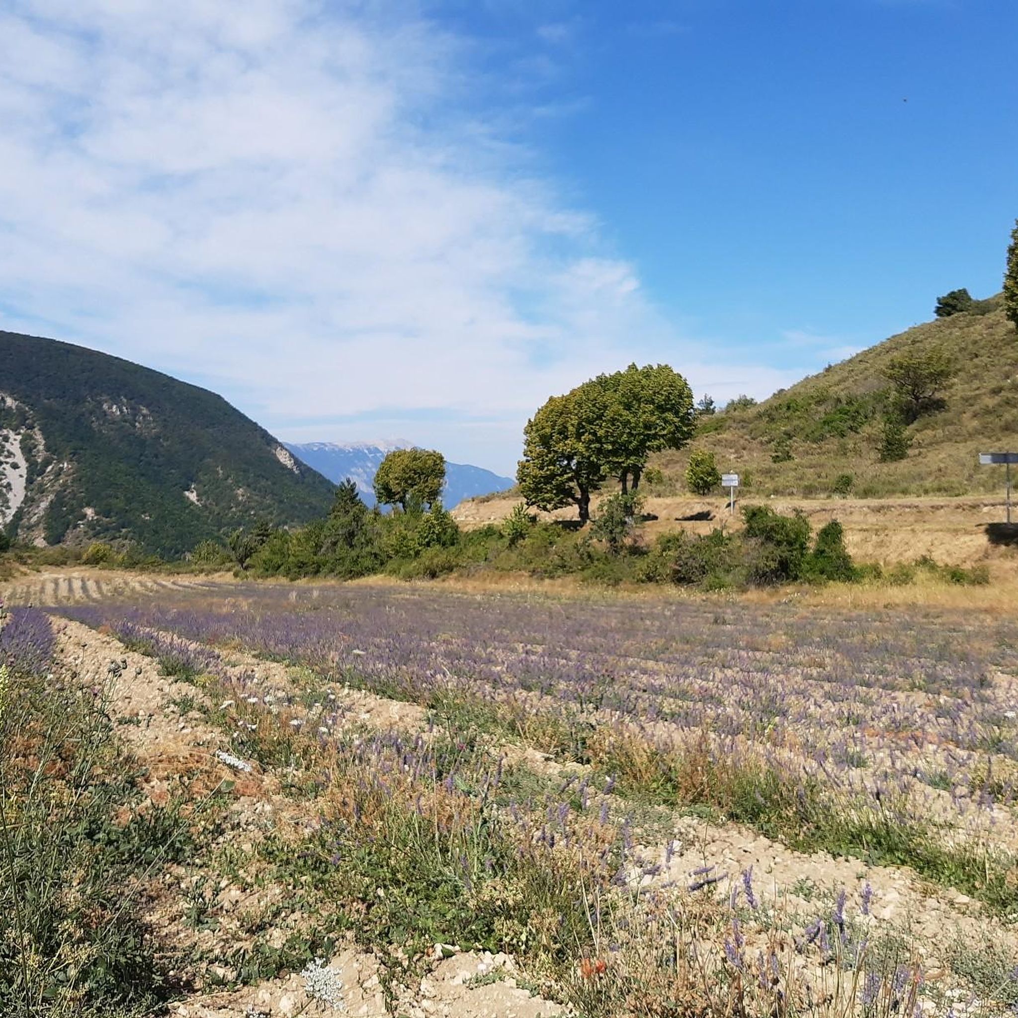
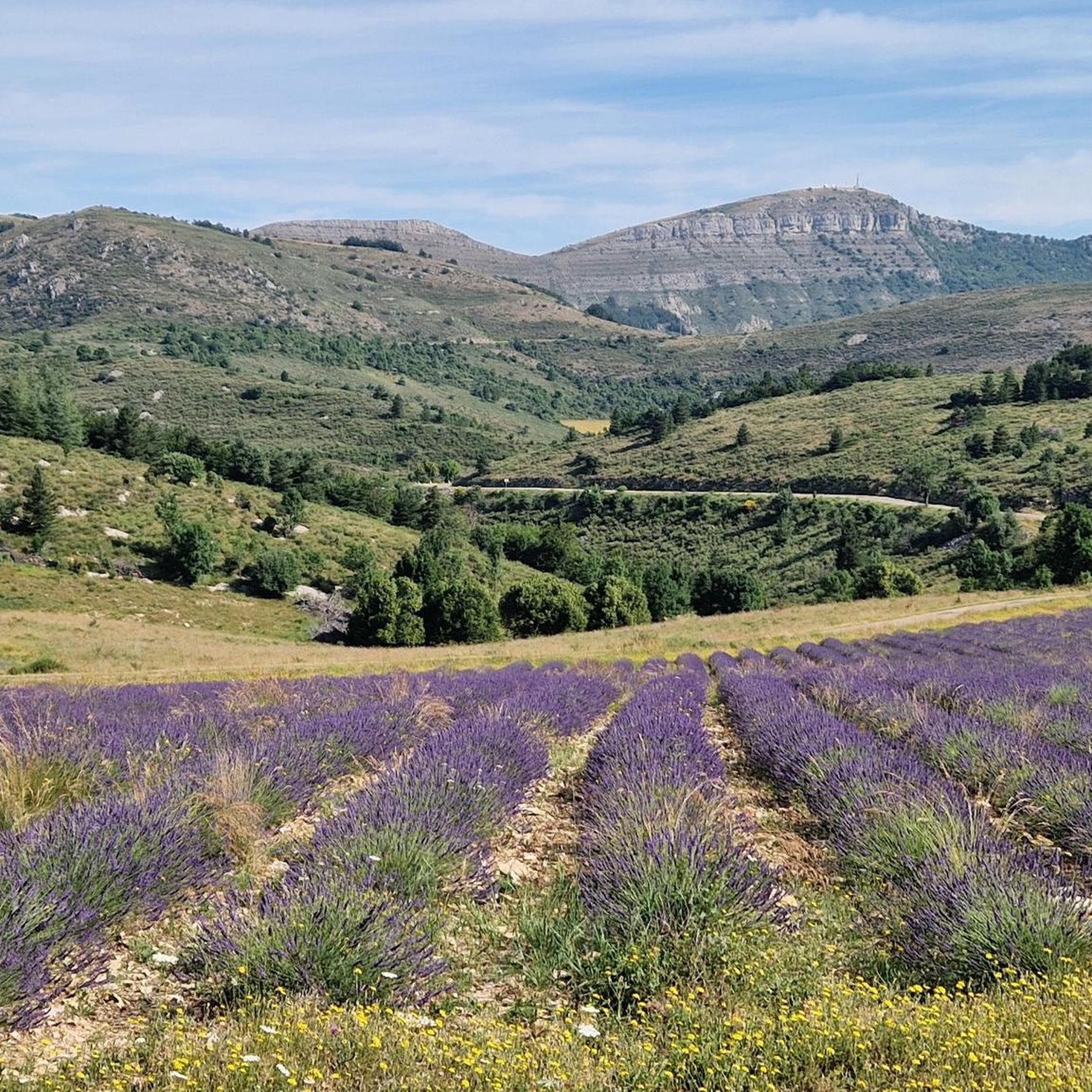
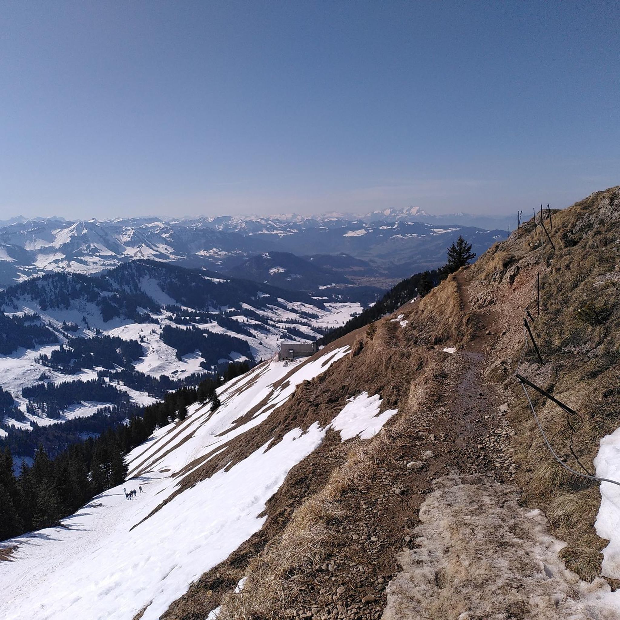
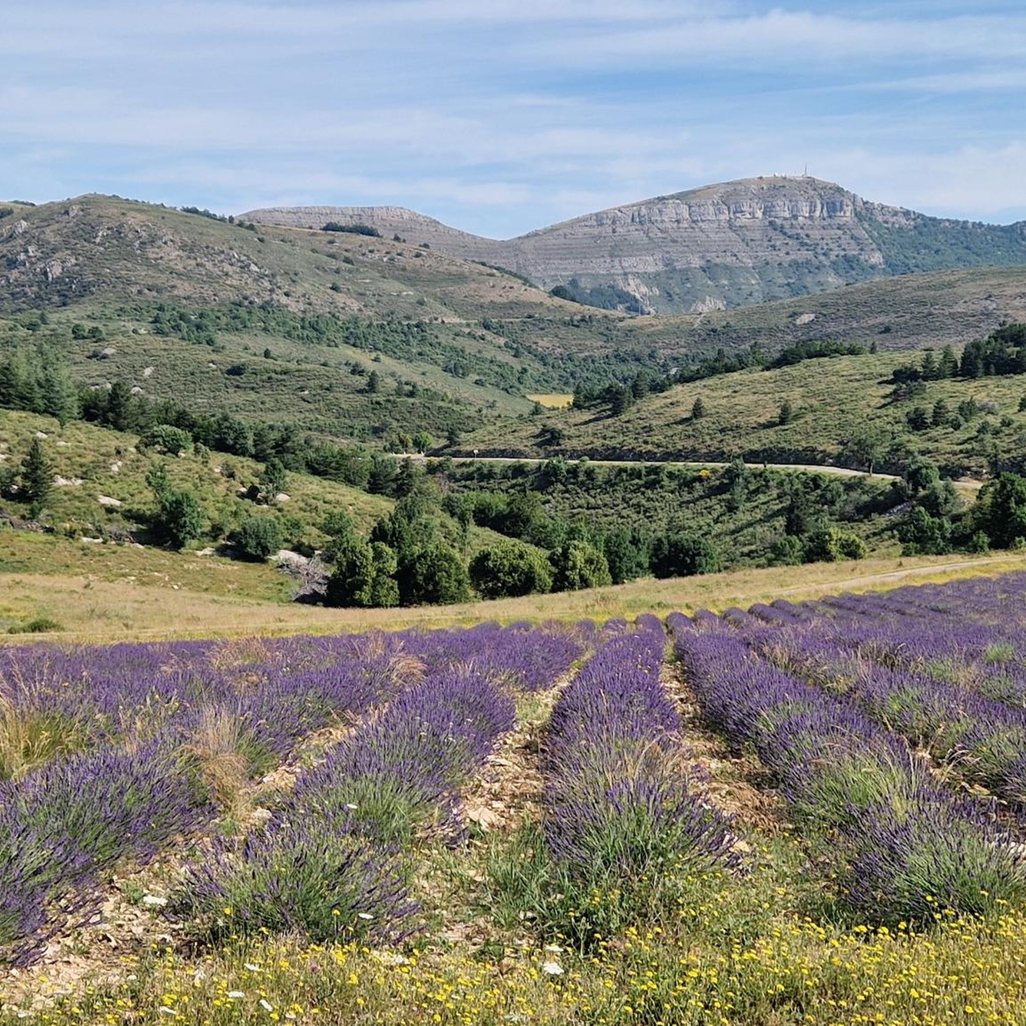
커뮤니티 팁

Pretty pass with a gentle slope, very pleasant to climb.
0
0


From Ferrassières this climb is 5km and 5.5% on average.
1
1

You can climb this climb from Montbrun, Sederon or Sault. This climb is not too steep. Quiet roads
1
0


Just another place in the Drôme. Beautiful church.
1
0
Gentle climb in the shadow of Mont Ventoux. You can climb from 3 sides. Accessible from Sault. The highest point is 1219 meters above sea level. Pretty boring scenery.
2
0

The Col de l'Homme Mort is a pass located at an altitude of 1,211 m in the Drôme. It links the upper Toulourenc valley to the Albion plateau by road. Its southern slope, 4.8 km long with a drop of 210 meters, has an average gradient of 4.38%, with passages at a maximum of 6%. The Tour de France took this pass in 1956, during the 16th stage between Aix-en-Provence and Gap.
0
0
바레 드 루우르 주변에서 가장 인기 있는 명소


더 살펴보기
다른 지역의 최고의 하이킹를 살펴보세요.
